Wright, Algonquin and Iroquois
Adirondack Hike: June 1st, 2018
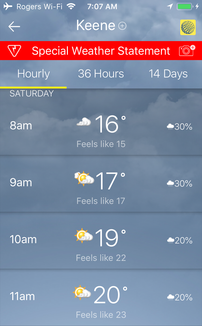
Niels and I began this hike with trepidation, as it had been rainy and thunderstorming all week. That being said, the weather report *promised* clear skies for this Saturday. Even though we had booked our babysitters, off-loaded our children, and driven all the way down to New York, we still debated switching out this hike for a different one... after all, the MacIntyre Range is known for its stunning views, so I wanted to be sure to hike it on a clear day. On the morning of our hike, we awoke to grey skies and misty rain. Still, the weather report said it would clear up by noon. See? Below is proof! At 7am, it looked cloudy - but by 9am we should be seeing sun!
|
|
|
Hiking the MacIntyre Range includes summiting Wright (16th highest at 4580 ft), Algonquin (2nd highest at 5114 ft) and Iroquois (8th highest at 4840 ft). It leaves from the ADK Lodge and is a 10.2 mile (16.4 kilometer) out and back.
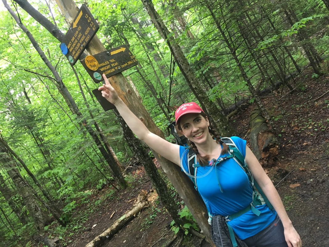
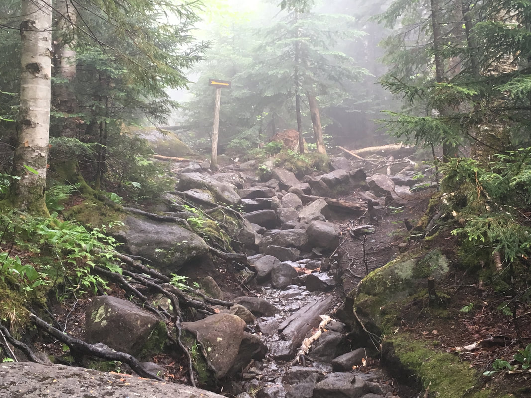
I had studied the maps lots, and knew that this was a well marked trek and should be relatively easy to follow. The only part where we could go wrong was red-flagged on several blogs: after summiting Algonquin do NOT turn left at the yellow arrow. This would bring us steeply down towards Lake Colden and we would miss our final peak (not to mention creating a much longer trek home). Several blogs commiserated this wrong turn with stories of hikers losing hours of daylight at this critical point. This warning didn't seem too complicated though... summit Wright, summit Algonquin, and then turn right at the yellow arrow to summit Iroquois. Noted - see the yellow arrow and turn RIGHT. Check. Got it. Ha!
I had studied the maps lots, and knew that this was a well marked trek and should be relatively easy to follow. The only part where we could go wrong was red-flagged on several blogs: after summiting Algonquin do NOT turn left at the yellow arrow. This would bring us steeply down towards Lake Colden and we would miss our final peak (not to mention creating a much longer trek home). Several blogs commiserated this wrong turn with stories of hikers losing hours of daylight at this critical point. This warning didn't seem too complicated though... summit Wright, summit Algonquin, and then turn right at the yellow arrow to summit Iroquois. Noted - see the yellow arrow and turn RIGHT. Check. Got it. Ha!
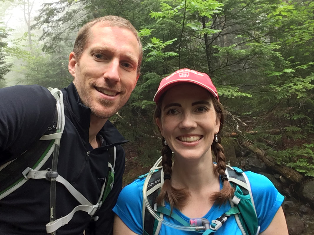
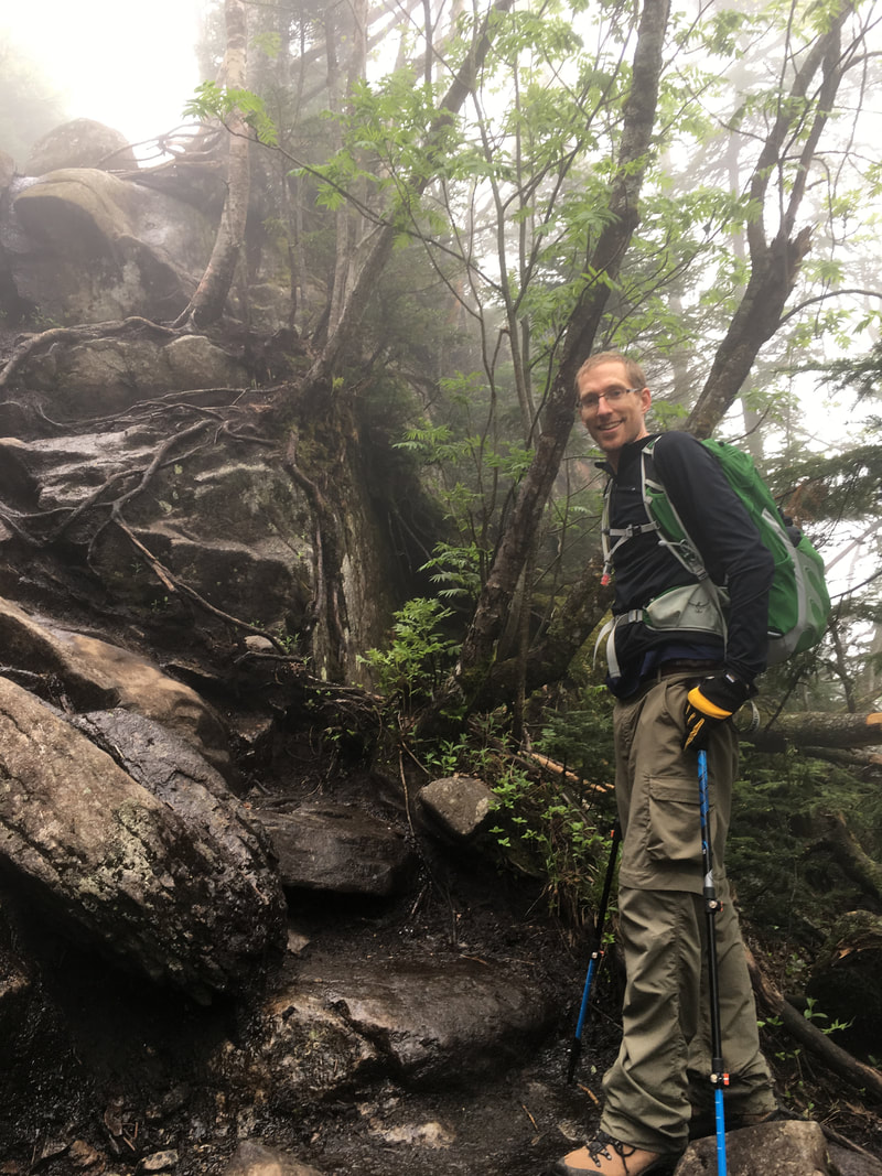
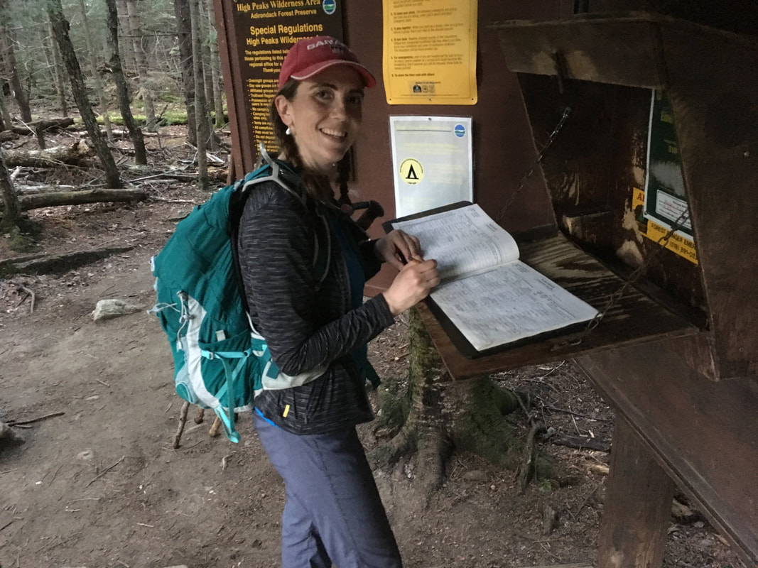
We stayed at our usual ADK Trail Inn and enjoyed a leisurely (and complimentary!) breakfast with some other hikers. This is one of the things that Niels and I just love about the Adirondacks - almost everyone you meet has a hike planned for the day and a story from their last adventure. We sat, ate and listened. At the end of the breakfast, both Niels and I noticed that we were the most experienced hikers in the room. We had hiked all the peaks they had mentioned and could offer valuable advice for their future hikes - that was definitely new to us!
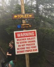
Since it was still overcast when we arrived at the ADK Loj, we ducked inside just to double check on the latest weather report. The skies were looking rather ominous and I was worried that we were "wasting" this incredible hike on a cloudy day. Perhaps we should abandon this beautiful range and do Street & Nye instead (shorter hike, and with few views... perfect for a wet, cloudy day). The young man at the front desk assured us that the skies would clear by the time we hit our first peak later that day. I noted his name and joked "Ok, Dan... if it stays cloudy I'm blaming you!" Ha! I thought of that sentence many times on our way up the trail. #BlameDan
We hit the trail by 9:00am, and met a hiker who was helping his daughter complete her "Barefoot 46." What?!? Hikers will never cease to amaze me! It's hard enough wearing sturdy hiking boots - I simply can not imagine hiking these peaks in bare feet.
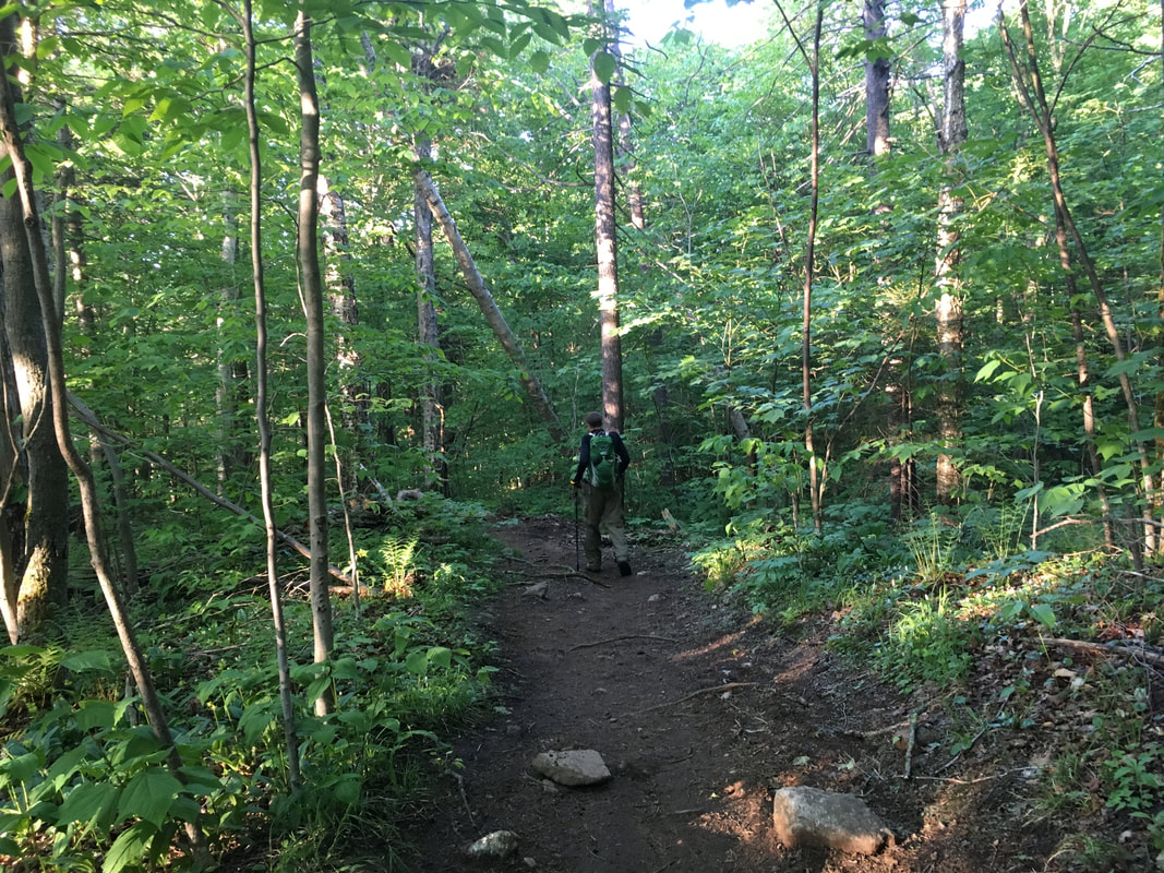
The path to the junction of Wright/Algonquin began as a very easy one, and gradually became harder. In general, it was just long.
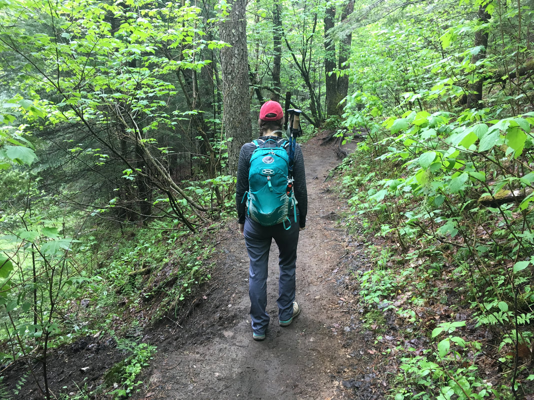
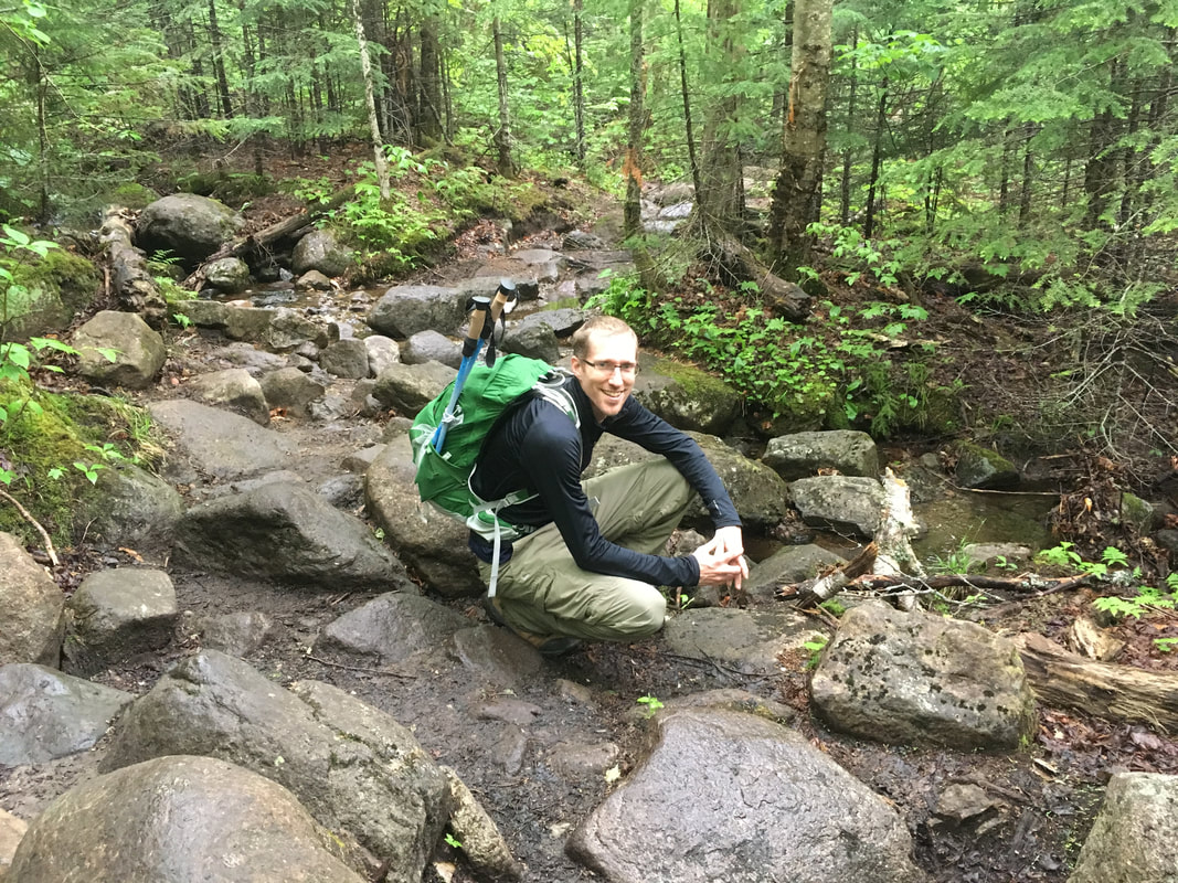
Easy trail for the first mile to the junction - we've done this trail before so we hiked fast.
|
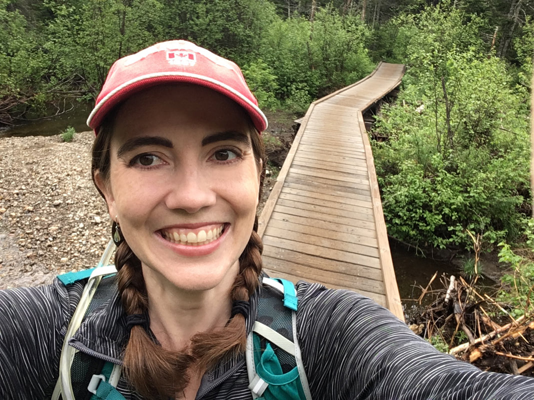
I took a selfie because Niels already didn't want to take pictures! Roar!
|
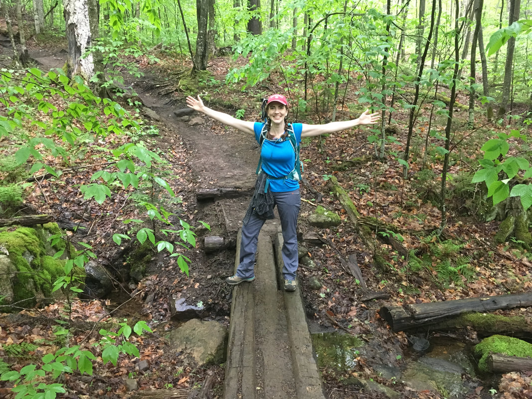
At the turn off for the MacIntyre Range... first (flat) mile done in 24 minutes!
|
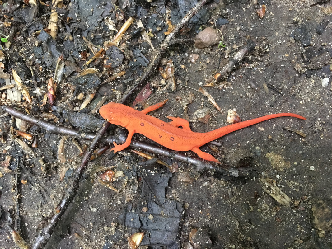
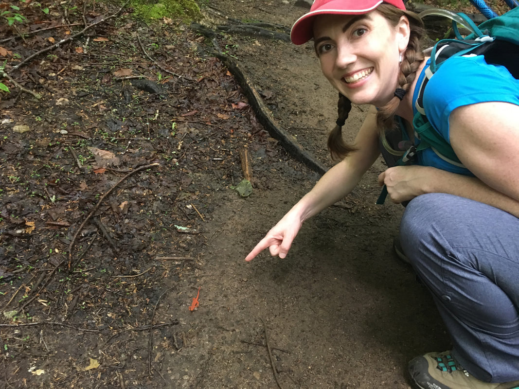
Along the way, we found an Eastern Red Spotted Newt. I almost stepped on it, but thankfully it was BRIGHT orange! WOW! Niels and I encouraged it off the trail so that it wouldn't meet it's doom by another hiker's boot.
|
|
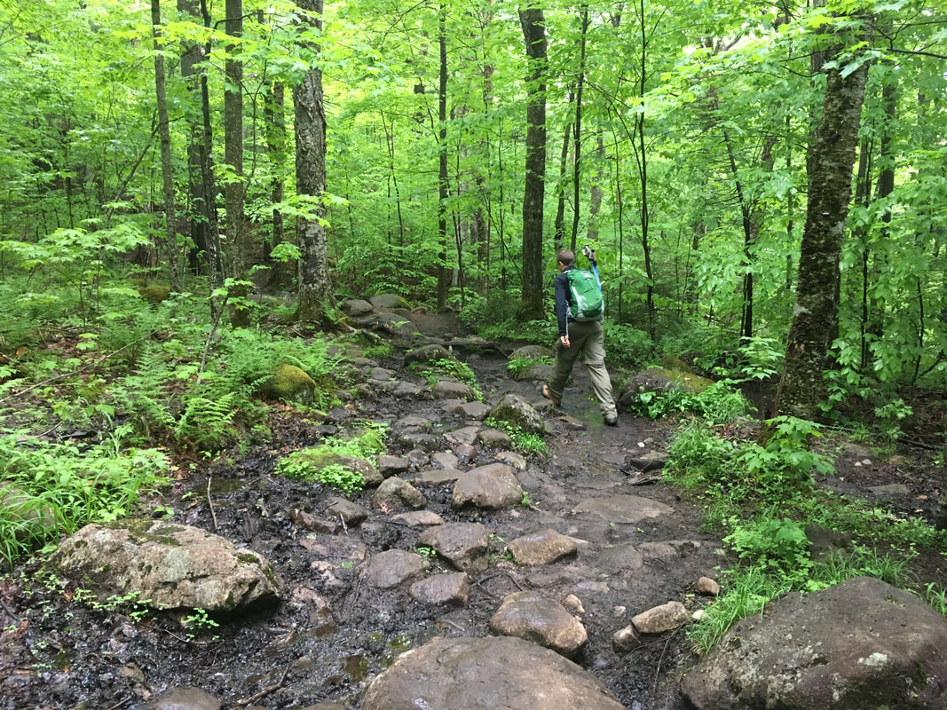
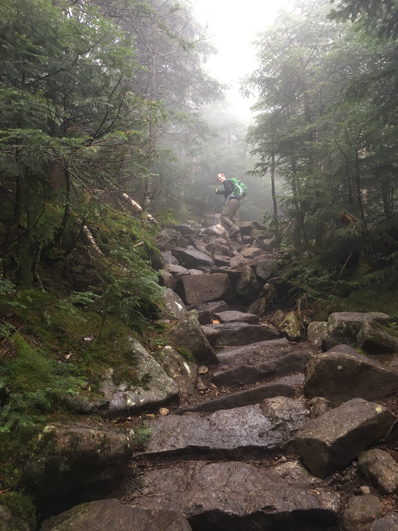
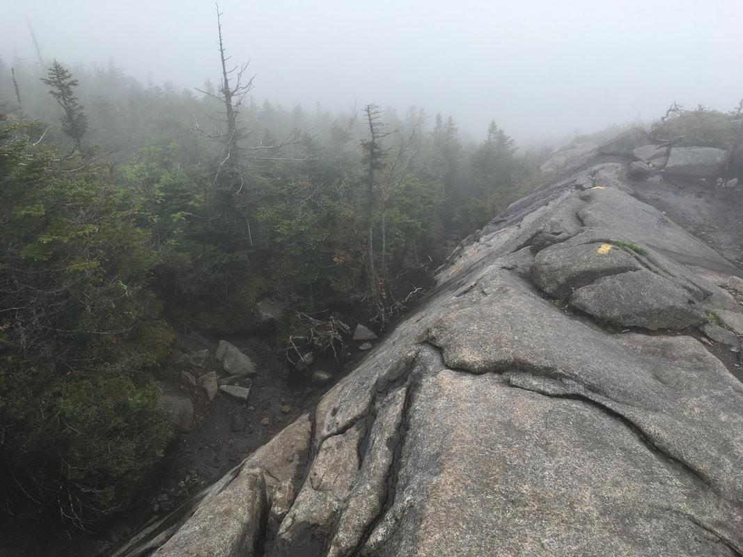
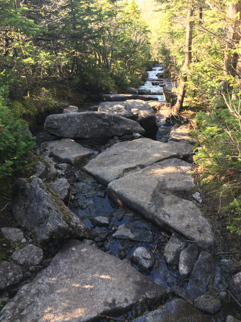
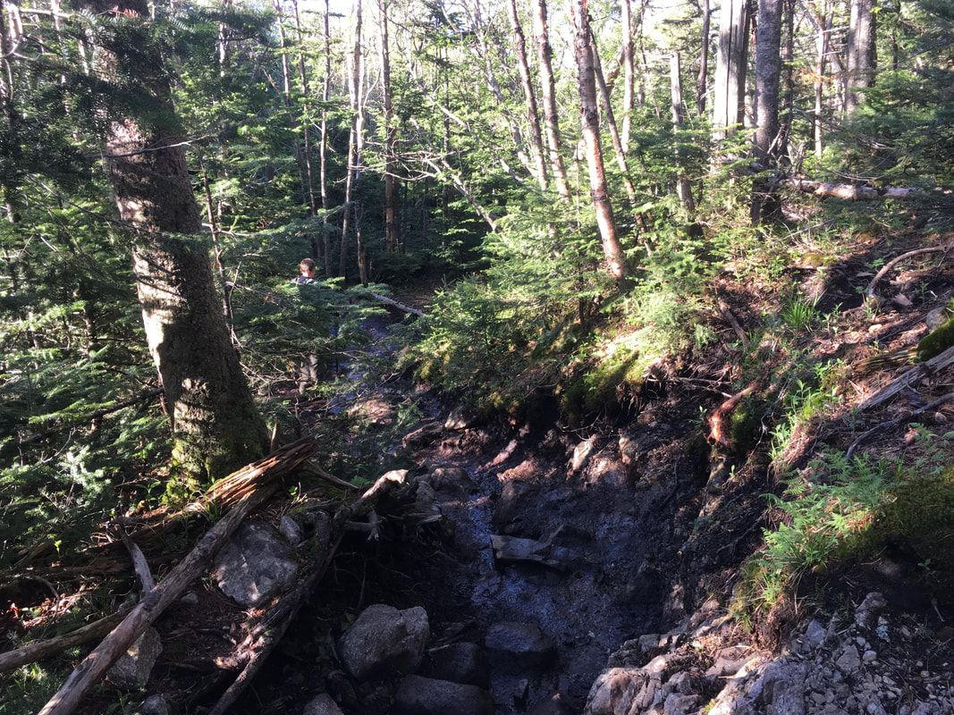
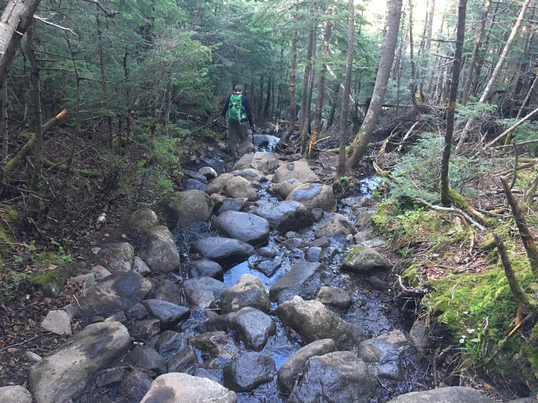
The hike from that first junction to the Wright/Algonquin junction is 2.1 miles of increasing difficulty (it took us two hours). It begins with a nice gradual climb, and then starts to become very rocky. It was also very wet when we did it! The trail was well marked with several yellow arrows guiding the way.
We met lots of other hikers and chatted about their plans - some were only attempting Wright, others were doing Wright and Algonquin, and still others were shooting for all three peaks. Whenever we met hikers attempting all three, we helped them out with the warning "Remember - don't turn left at the yellow arrow after Algonquin! Turn RIGHT to get to Iroquois." Some had not read that hint and were very grateful for the tip.
|
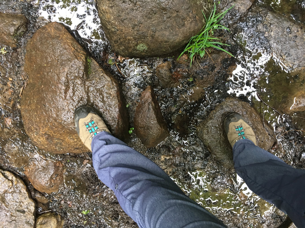
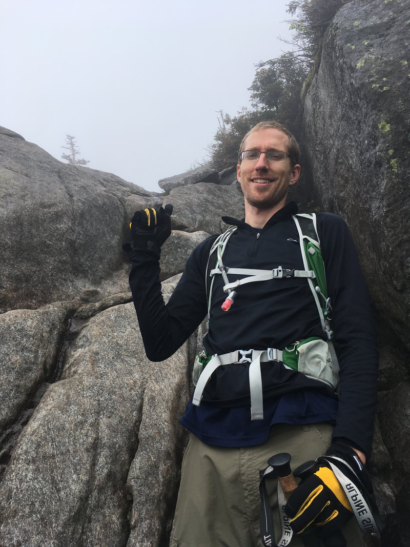
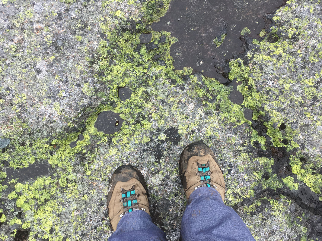
In several places along the trail there was bare wet rock that we had to scramble over, and I was very happy with my Mother's Day gift from Niels: hiking gloves! They allowed me to grip prickly branches with no pain or fear of scratches... they are a new 'must have' for all my hiking trips now! |
|
|
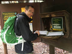
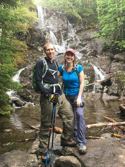
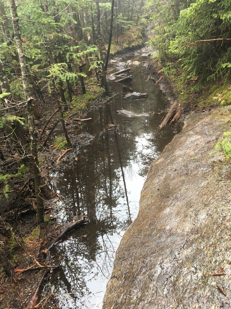
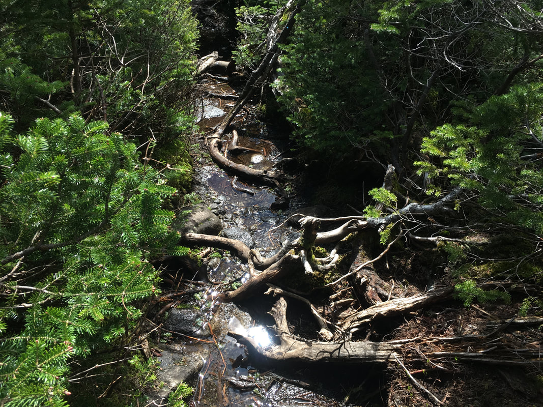
There were two main beautiful waterfalls along the trail, with camping options between them (there is a sign, but we missed it on the way up and only saw it on the way down). The campsites are on a little path to the left and have two main spots to pitch a tent if needed (click here to see them).
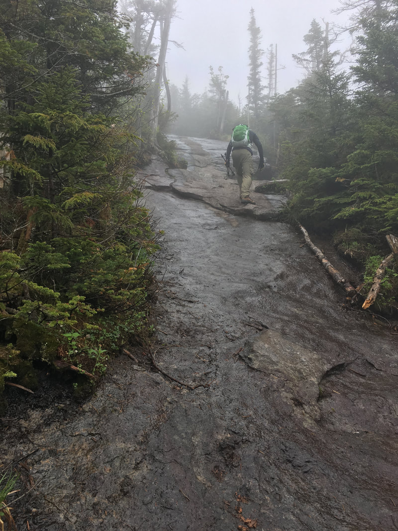
While it was nice, cool weather for hiking, Niels and I were becoming increasingly frustrated because the clouds were thick in the sky and the mist was completely surrounding us. Several hikers were coming down from the mountain reporting that there were NO views at all. This was not encouraging! At this point in the hike, I was wishing we had chosen to do Street & Nye instead. |
|
|
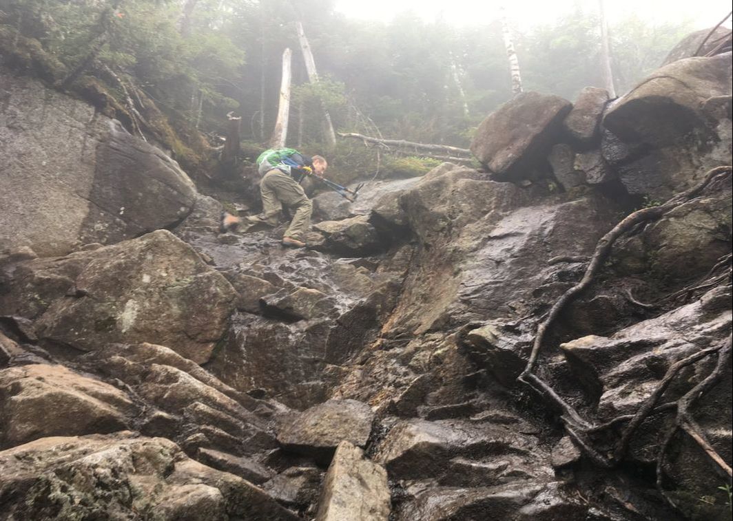
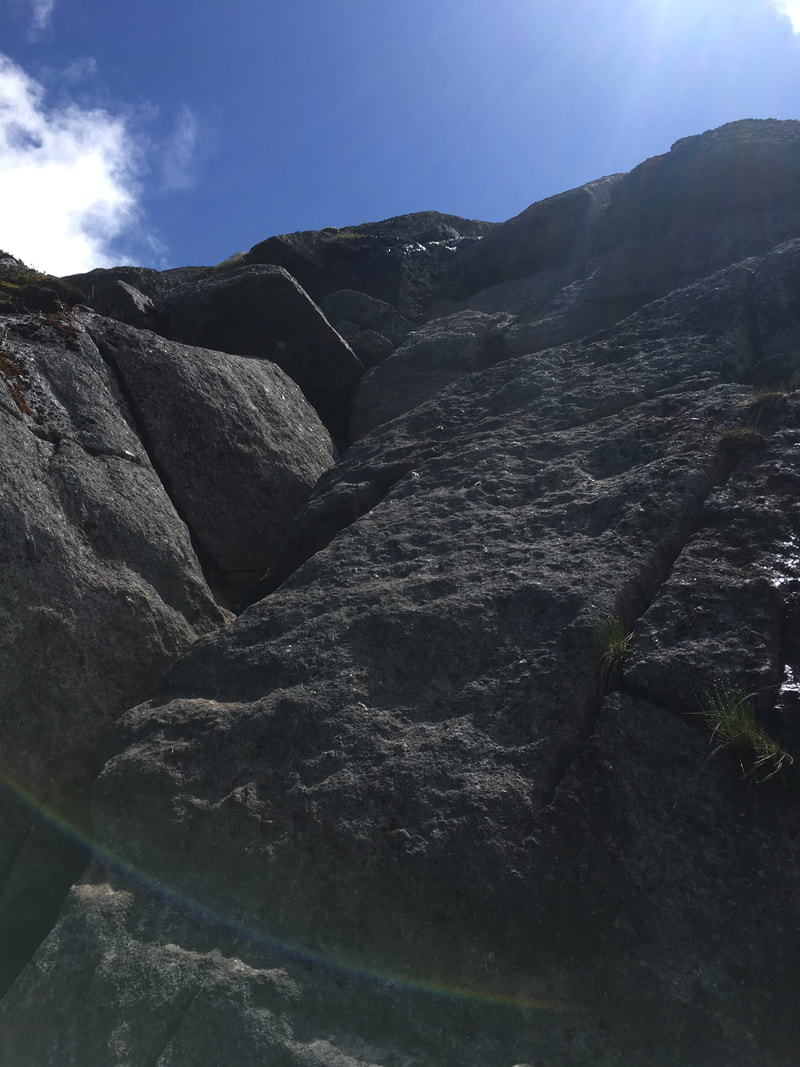
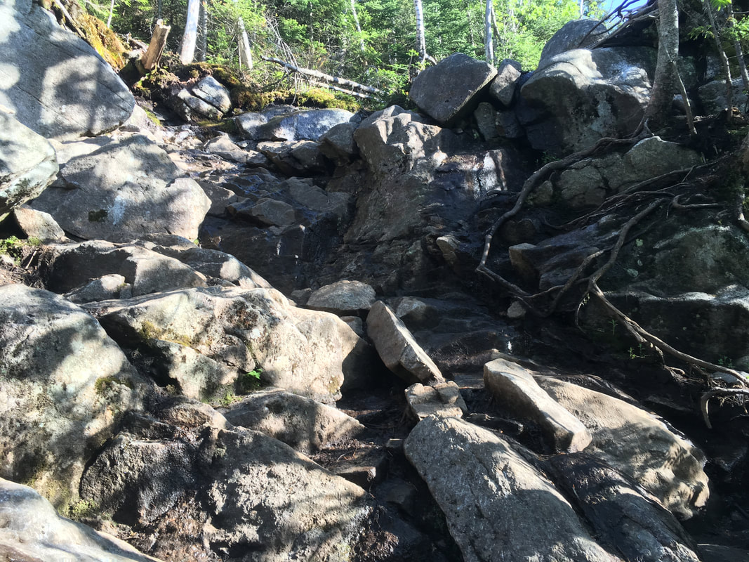
The trail right before the Wright/Algonquin junction was very steep and mainly rock. I thought about that "Barefoot 46er" - she is crazy! We had to be sure of our footing and take it slow... paths like this are probably what earn this peak a "difficult" rating.
|
|
|
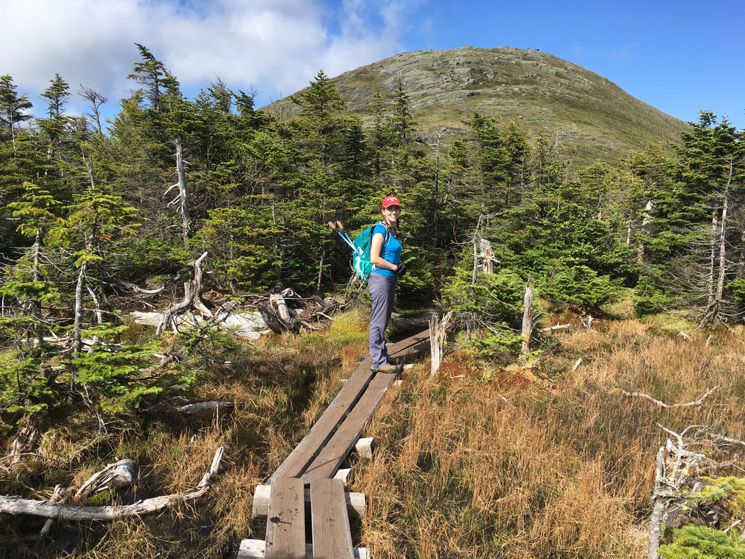
When we got to the well-marked junction, we had a decision to make. Should we turn left and summit Wright first, or go straight for Algonquin/Iroquois? Originally, we had planned to leave Wright for last. Hikers rule: save the closest peak for last just in case you don't get to it. That way, it's a lot easier to go back later and grab that peak! That being said, the skies at 11:15am were still completely misty. We wondered if it would ever clear out, but just *in case* they did, we knew we wanted to be on the higher peaks for the clear skies. We stopped for lunch while weighing the options, and ultimately decided to do Wright first. We were still hoping for those clear skies... |
|
Wright Peak
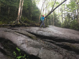
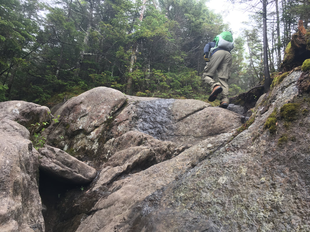
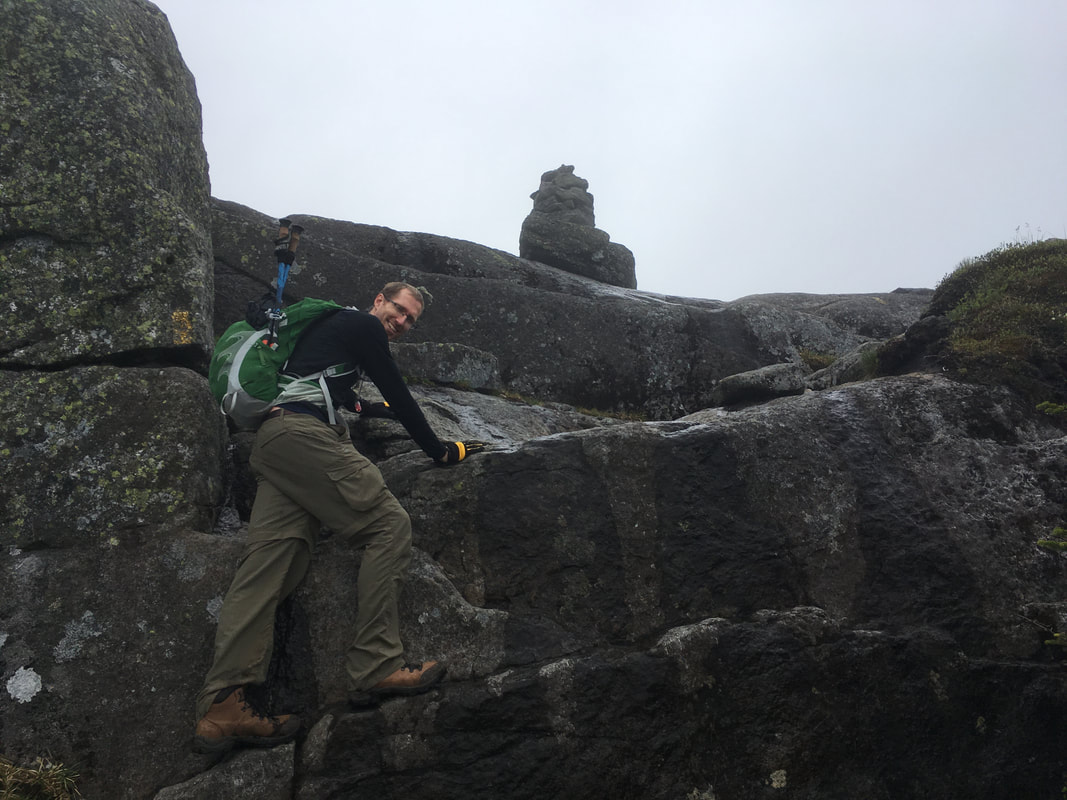
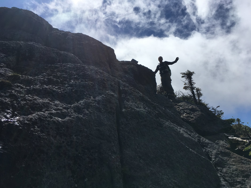
The trail up Wright is only 0.4 miles one way, but be prepared as it's steep and mainly made of rock. Many hikers were 'bum sliding' down as we were heading up! There were some tricky spots where Niels and I had to plot our course of action in order to scramble over those big boulders! We now understand why people say “an Adirondack mile” - because a mile in the Adirondacks is definitely one of a kind. Check out one quick section here.
|
|
|
We saw another red-spotted newt climbing Wright with us - click here for a quick video!
WHERE is the sun?!?
|
We're getting high now!
|
A steep section to climb
|
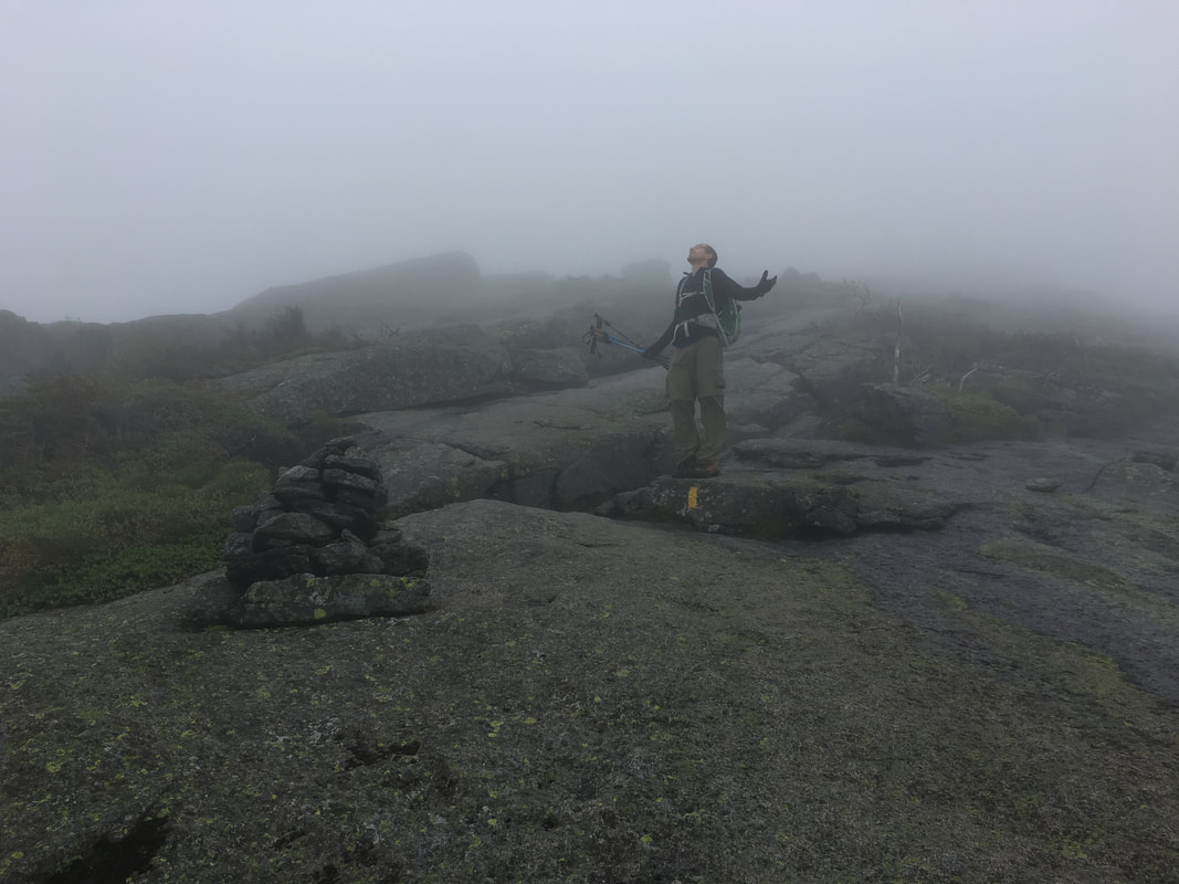
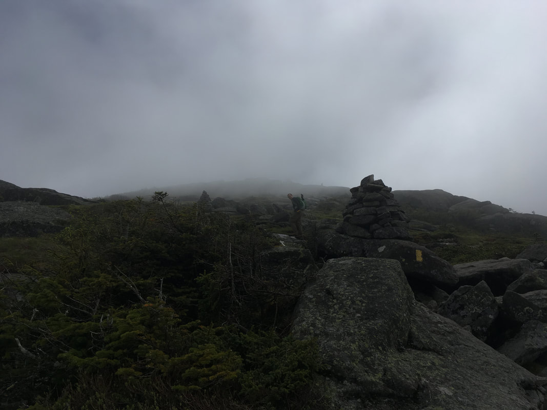
As you can see from the photos above, we had NO views climbing Wright. We were hiking in complete mist (which did create a rather fun atmosphere) and could not see too far ahead. Check out this video to see all the mist! At least we had lots of really huge cairns to guide our way up!
Bright colours on a misty gray day
|
I've never seen such big cairns! Can't miss it!
|
By the time we sumitted, at 12:15, I was ready to call in my complaints to the weather network...
The summit of Wright
|
Heading to the summit first!
|
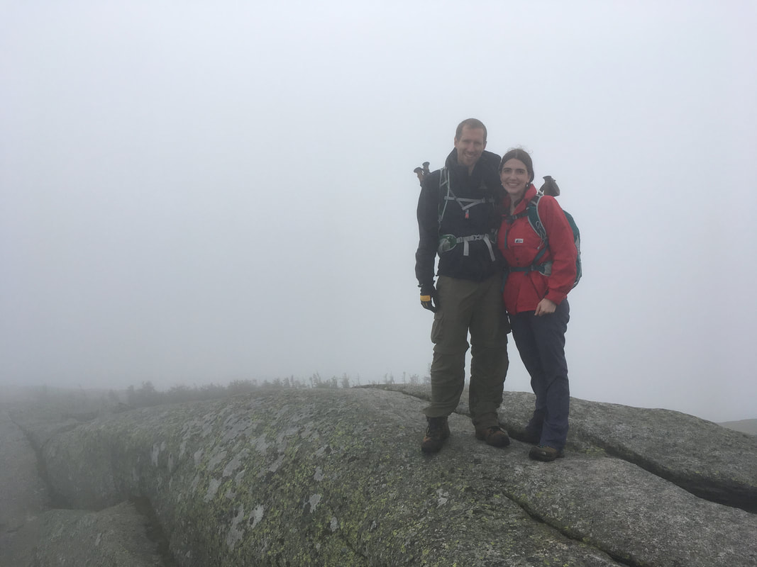
Wright, 4580 feet, #16 in height
|
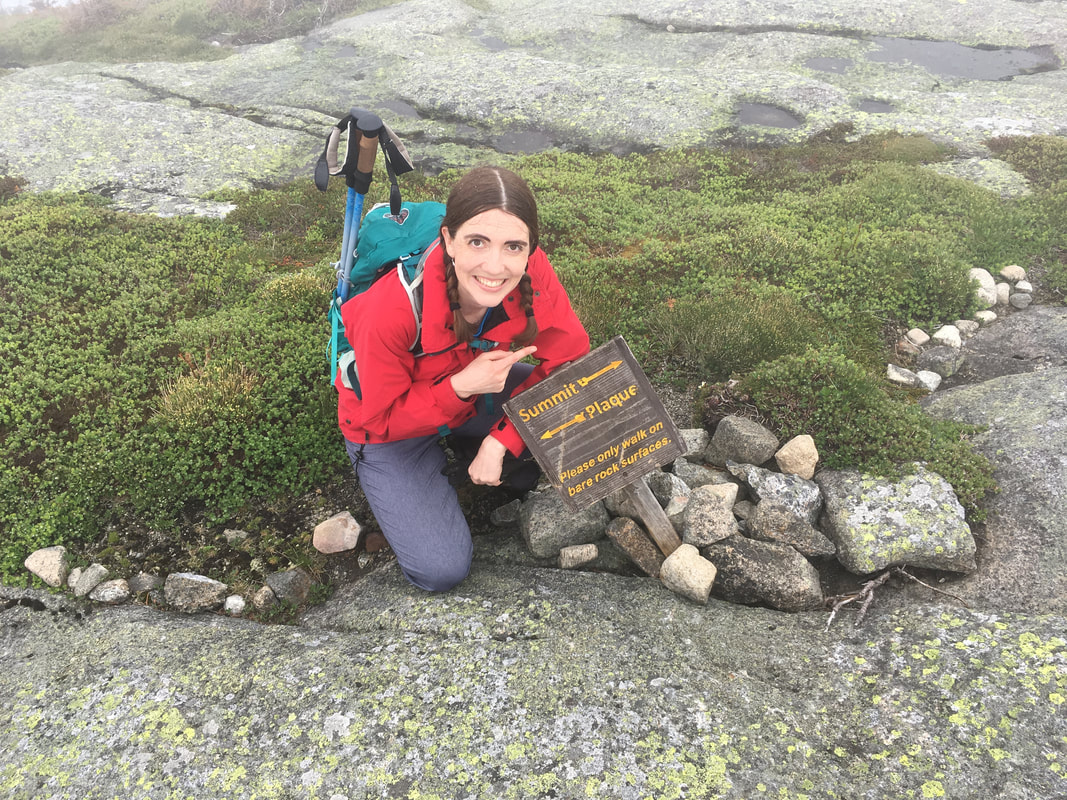
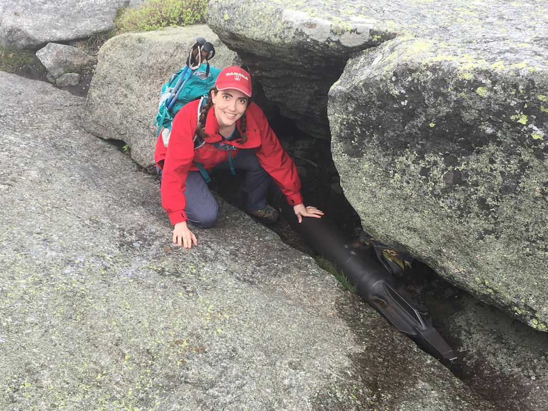
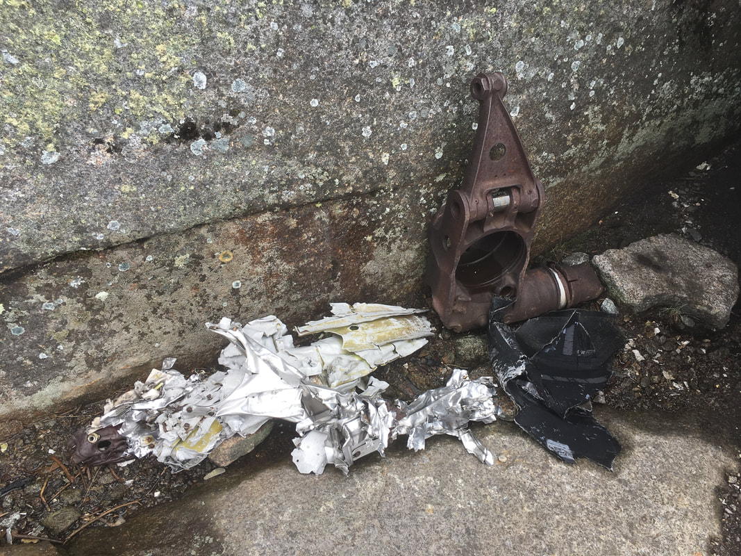
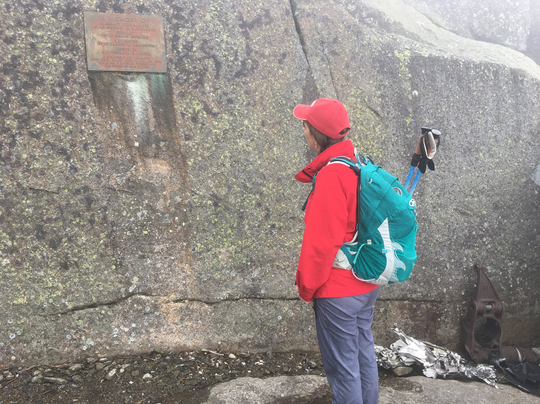
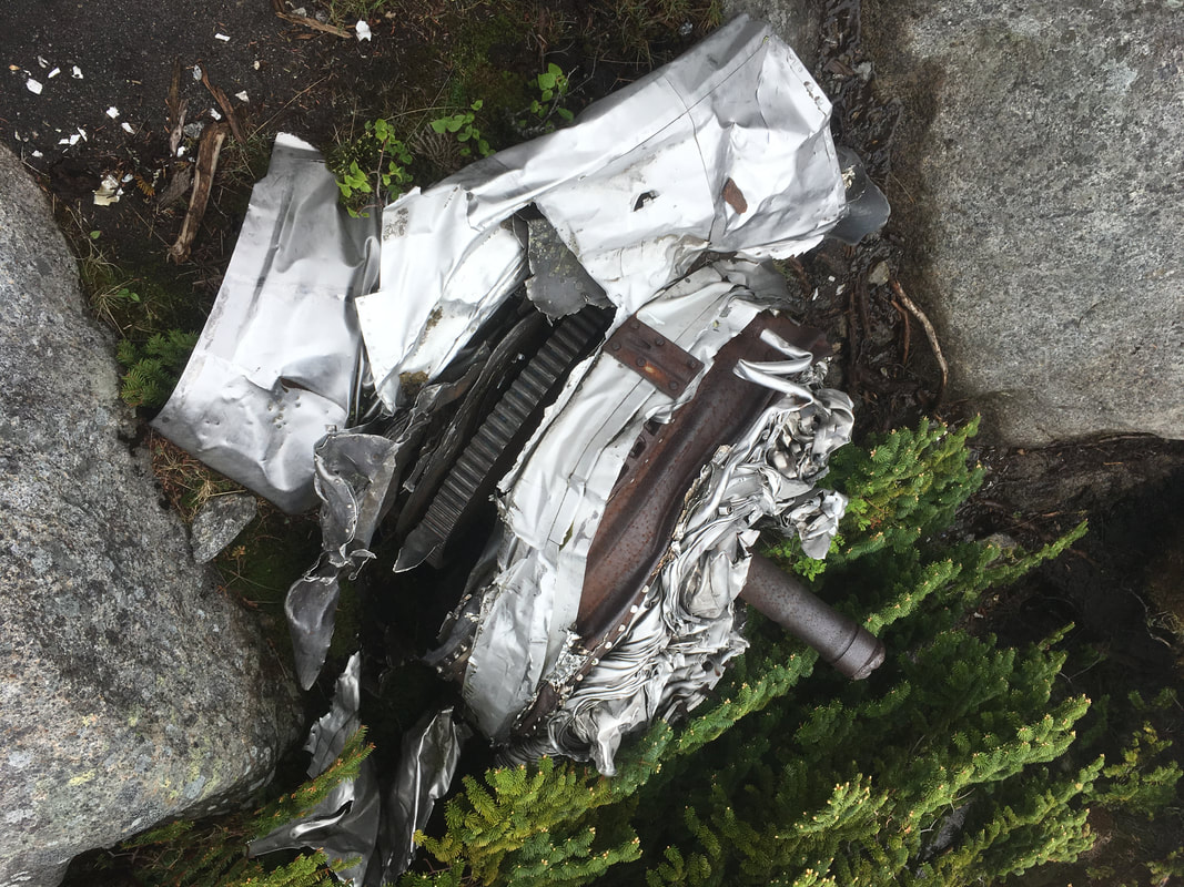
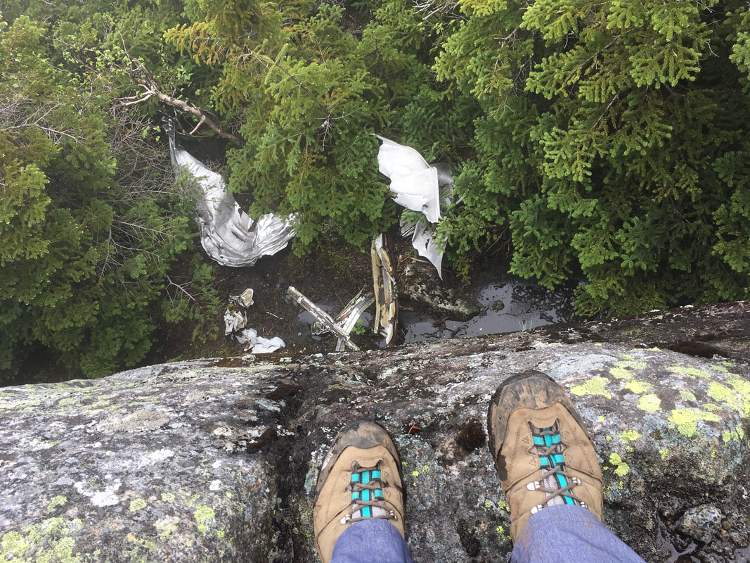
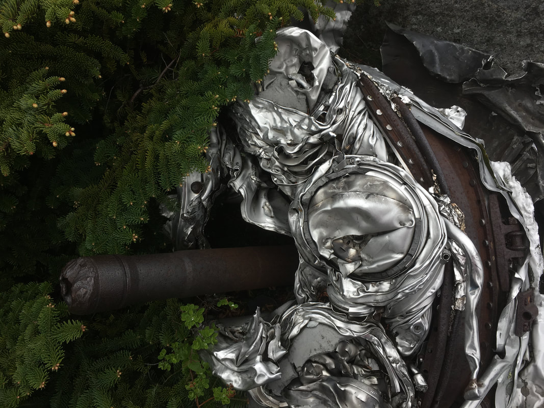
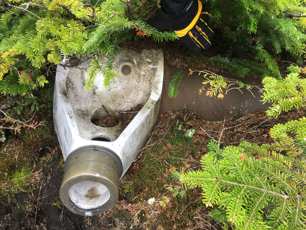
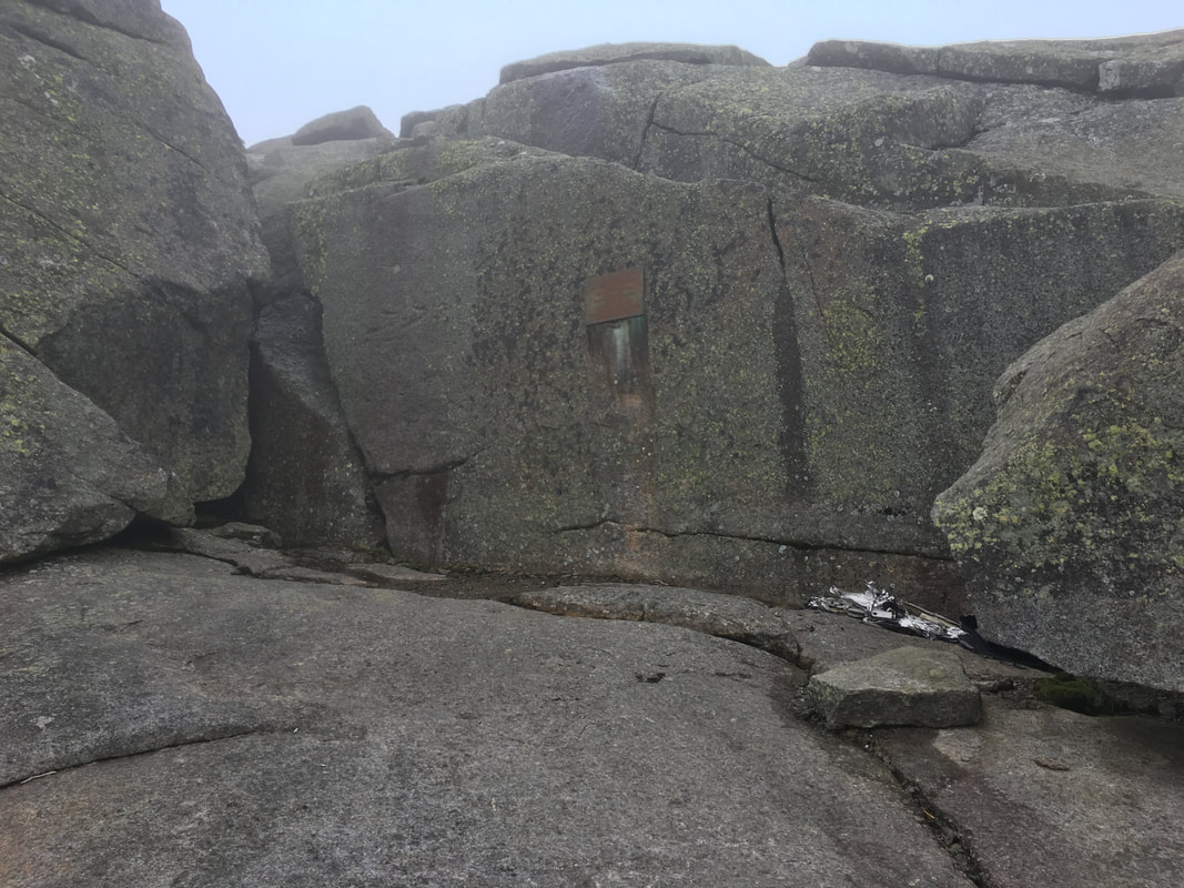
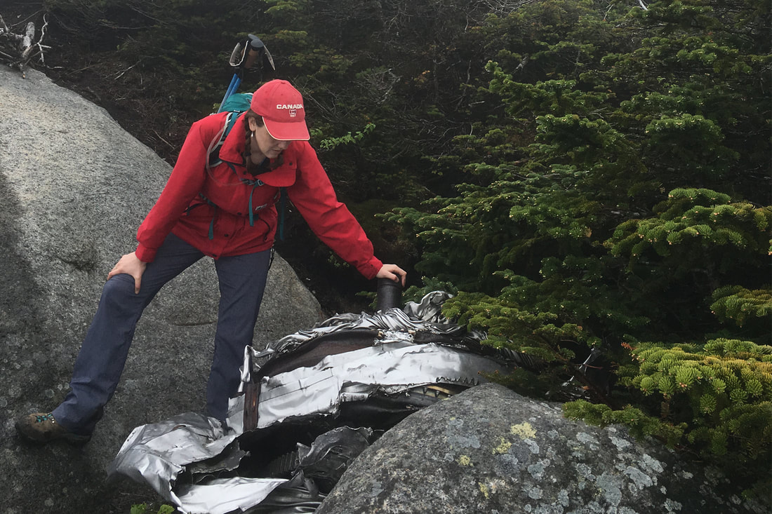
The exciting thing about climbing Wright Mountain is that it is the site of a B-47 bomber crash. On January 16th, 1962, the plane crashed into Wright Peak on a training mission, killing all four crewmen. The training mission's goal was to practice low bombing runs over Watertown, NY. Due to inclement weather (Hmmm... maybe it's a regular thing up here...) the bomber veered 30 miles off course into the High Peaks region and made its impact just below the summit of Wright Peak. A plaque is dedicated to the crew, and much of the crash debris remains. Niels and I began exploring to find it... you have to hike down some boulders to locate the plaque, and then from there you need to continue down a bit and search around to find the rest of the B-47 bomber parts. Give yourself some time to explore here!
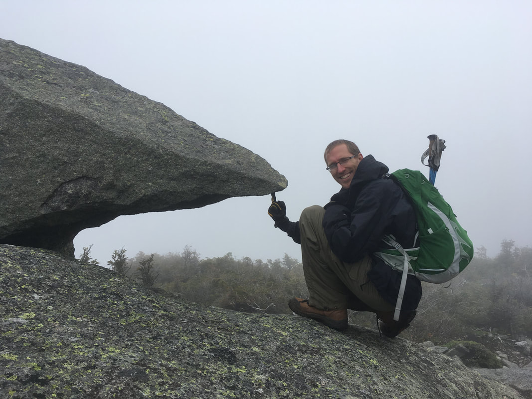
We spent a bit more time playing around on Wright before heading back down to the junction.
|
|
Algonquin Peak
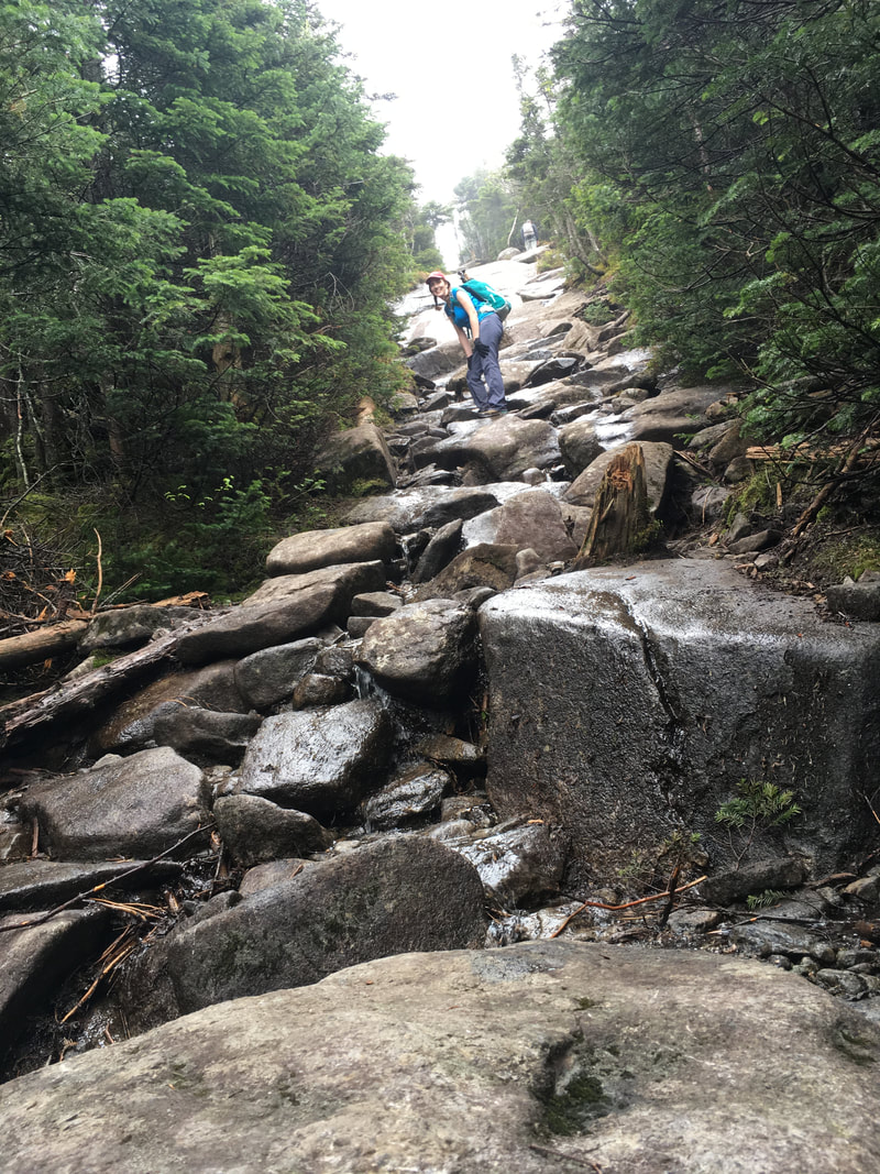
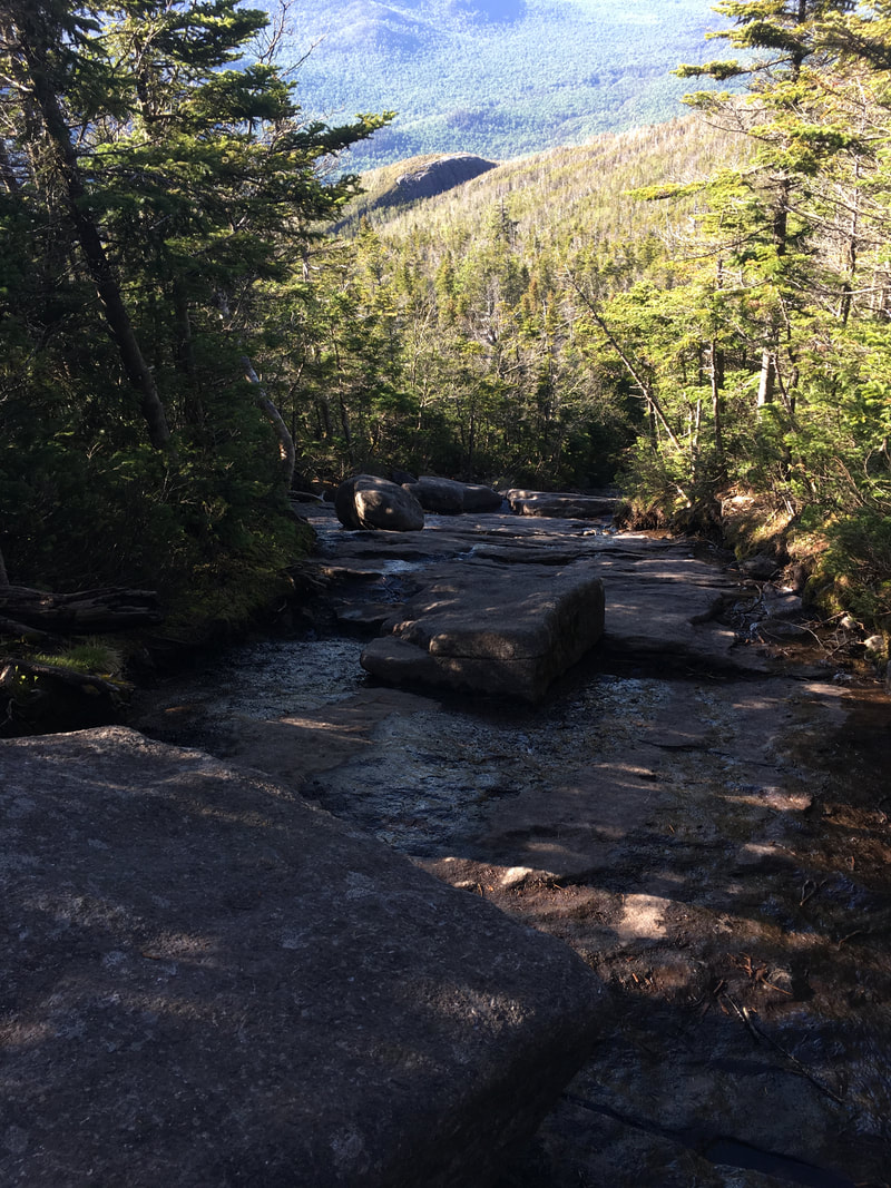
From the junction, it's only 0.5 miles to Algonquin... but it does feel much longer. It was just past 1:00pm when we started the trek up and there was still no sign of clear skies. If I had to pick some words to describe this hike, "mist" and "rock" would be two of them. The path barely had any dirt. We were just hiking from huge rock to huge rock...
|
|
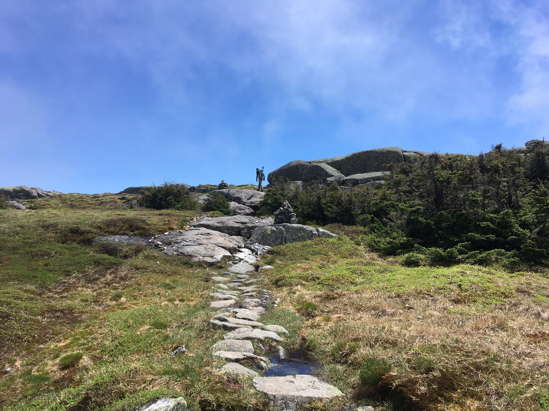
There's not much to say about the trek up Algonquin - just a lot of rock, cairns to guide the way, and mist! It took us a full 50 minutes to do this half mile section because it is rather steep and difficult. Check out this video to see the terrain right before you hit the peak.
|
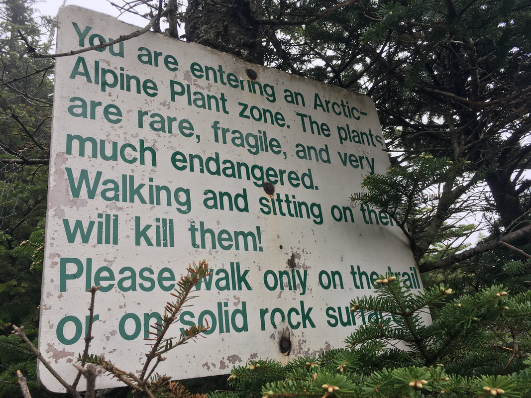
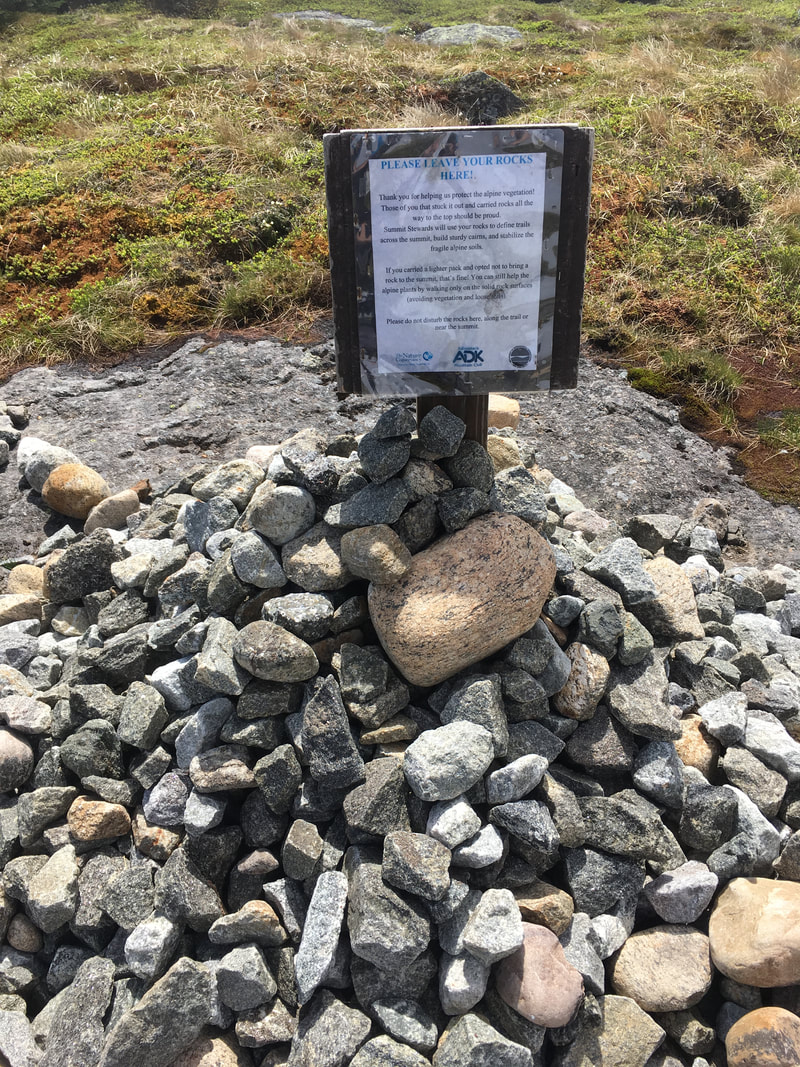
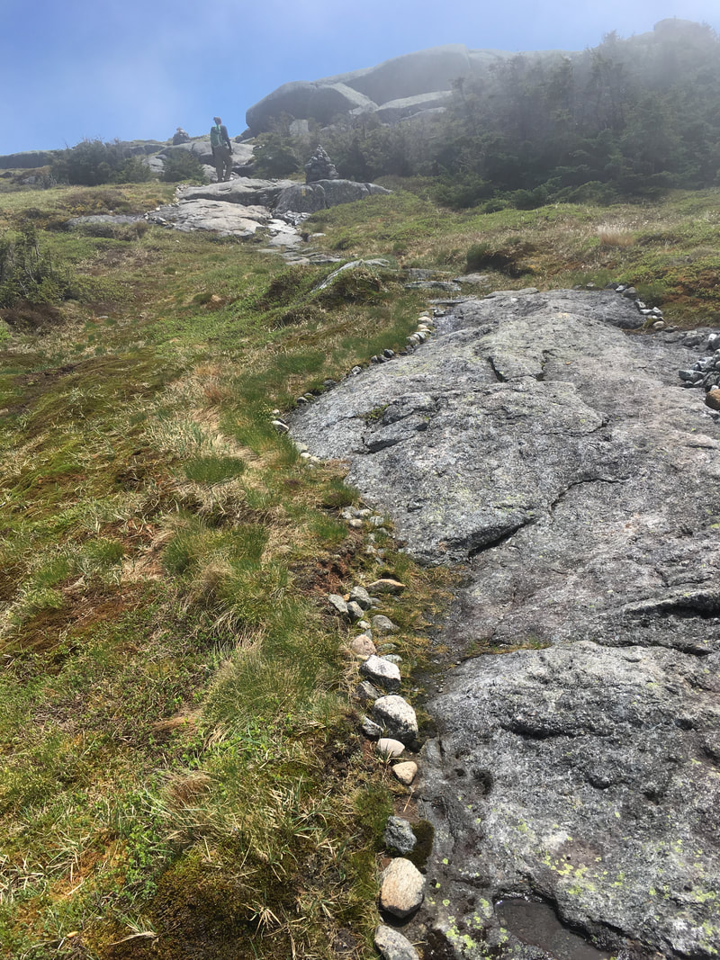
There is a large restoration effort underway at the top of several ADK mountains to preserve and protect (and in many areas, regrow) alpine plants. Volunteers build little rock walls and cairns to guide hikers away from the alpine vegetation and keep them on solid rock. Their slogan is "Be a rock star. Above the tree line, stay on solid rock." To the left, you can see a sign thanking hikers who participate in the Carry-A-Rock project (ie, carry a rock up to the summit to help build the little walls in the photo to the right). |
|
Niels was hiking a bit ahead of me at this point... wait a second, is that BLUE SKY I see?!?
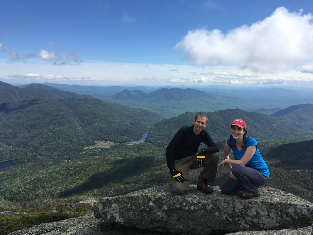
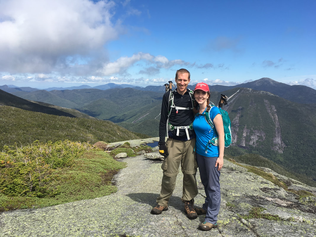
We summited Algonquin at 2:00pm, and were overjoyed to see the mist clearing out. We actually got better photos of the scenery on our way back, so I'll save those for later....
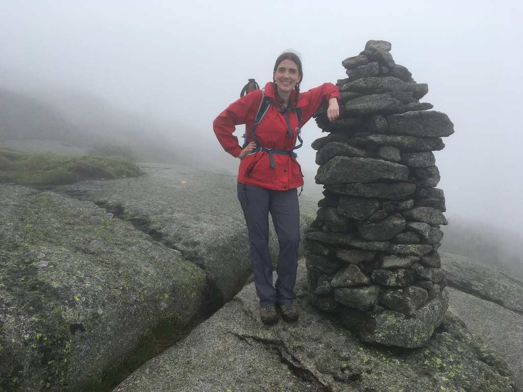
We made it! Algonquin is the second highest peak in the ADKS!
|
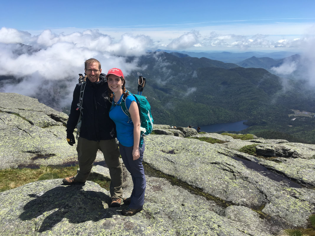
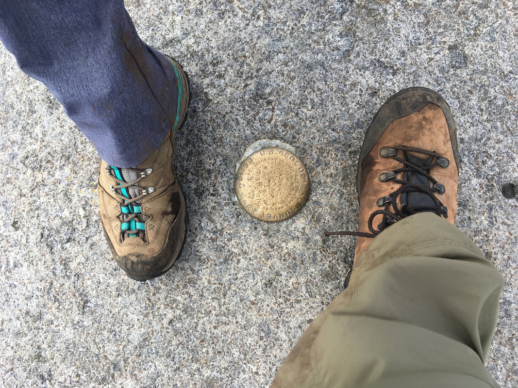
Algonquin Peak, 5114 feet, #2 in height
|
|
As soon as we reached the peak of Algonquin, we were approached by a summit steward. These volunteers educate hikers and enlist their help in protecting alpine plant species from trampling. They hike to the summits of the tallest ADK mountains almost every day to speak to as many hikers as possible. Each season, they talk to over 30,000 hikers! Wow!
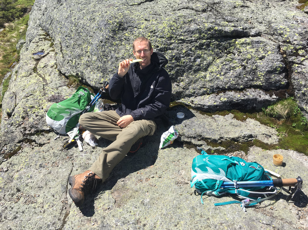
Check out this video to see that it was still pretty windy... but it was amazing to see how the mist would come and go. After a lovely lunch (in the sun!), we headed over to Iroquois. |
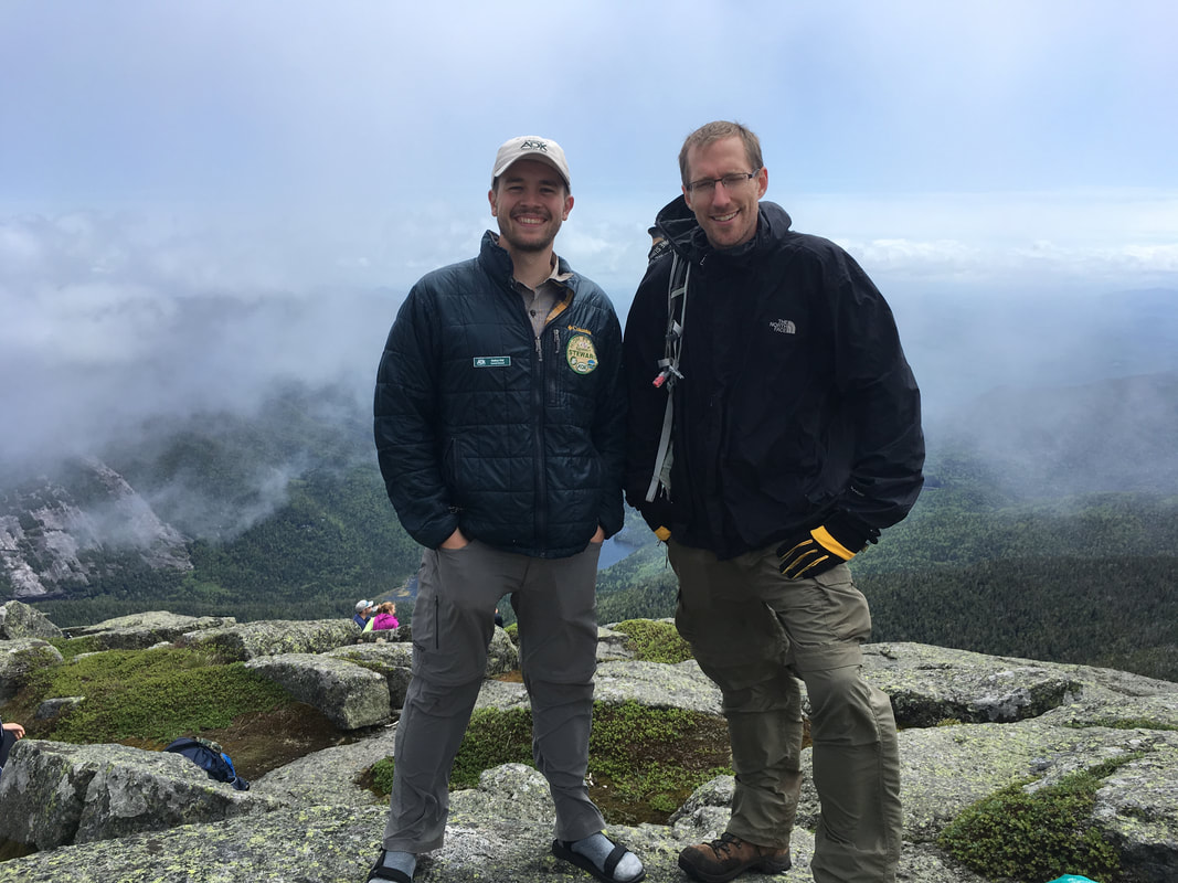
Niels and Nathan, a summit steward
|
Iroquois Peak
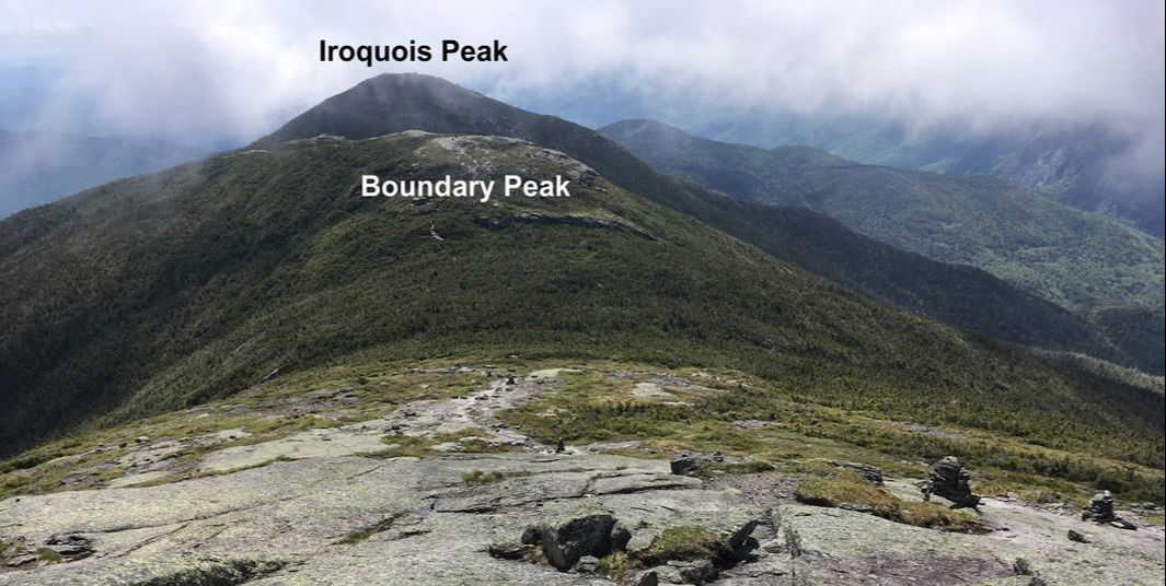
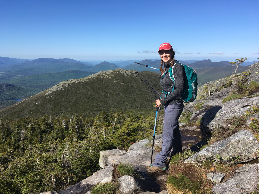
We began our descent down Algonquin towards Iroquois. First you hike 0.4 miles to Boundary Peak (barely a peak - you can see it in the photo below) and then another 0.7 miles to Iroquois.
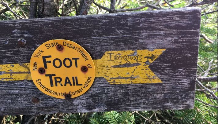
We soon found that the path began a very narrow and steep descent. We both commented on how steep it was, and how we hadn't expected this. After a good ten minutes, Niels announced "Do you think THIS is the wrong turn that we warned everyone about?!" My mind raced. Noooo.... we *couldn't* have commited the grave error of turning the wrong way at the yellow arrow, could we? I didn't even remember seeing a yellow arrow. A quick hike back up confirmed our misgivings: we had indeed turned the wrong way at the infamous yellow arrow. I hadn't even registered the arrow since we'd been following them all day. Also, there is no right turn... you practically have to walk into sheer bush!
This is the WRONG path down! Stop! This will take you 1.7 miles down to Lake Colden!
|
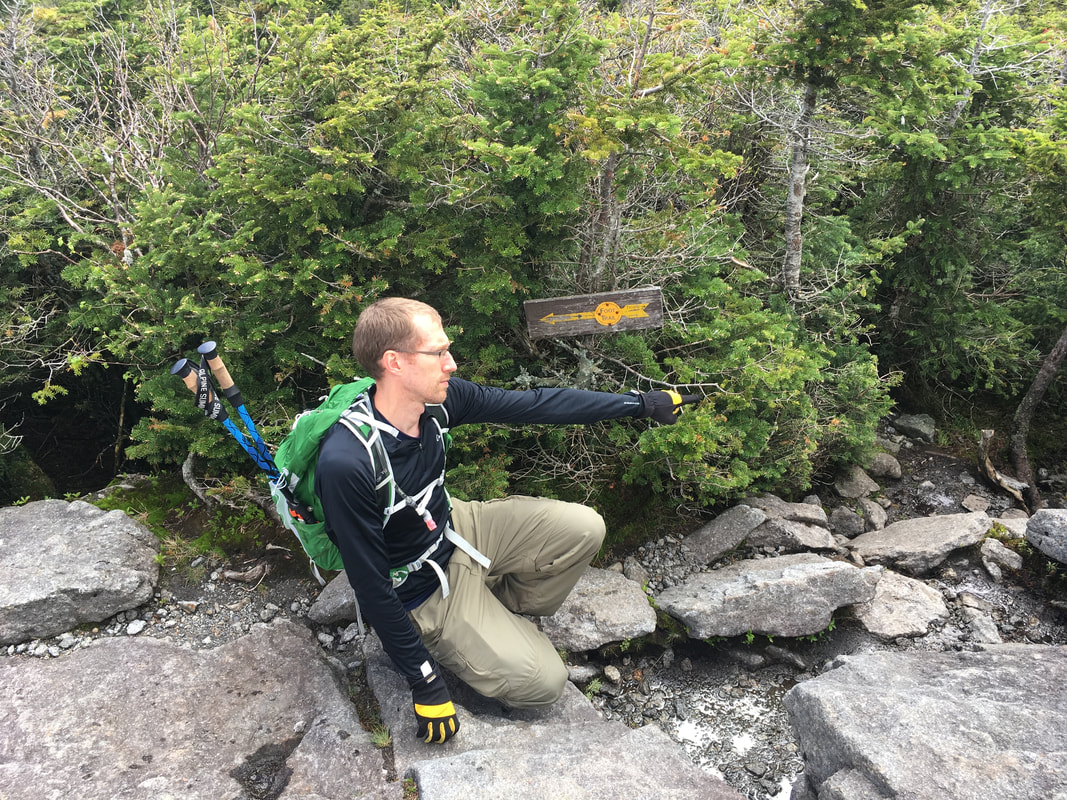
Niels showing you the right way... just do the opposite of what this arrow tells you to!
|
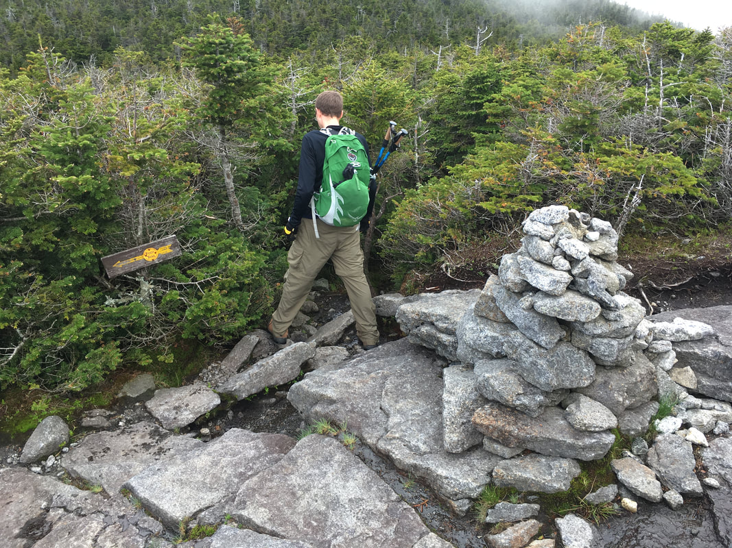
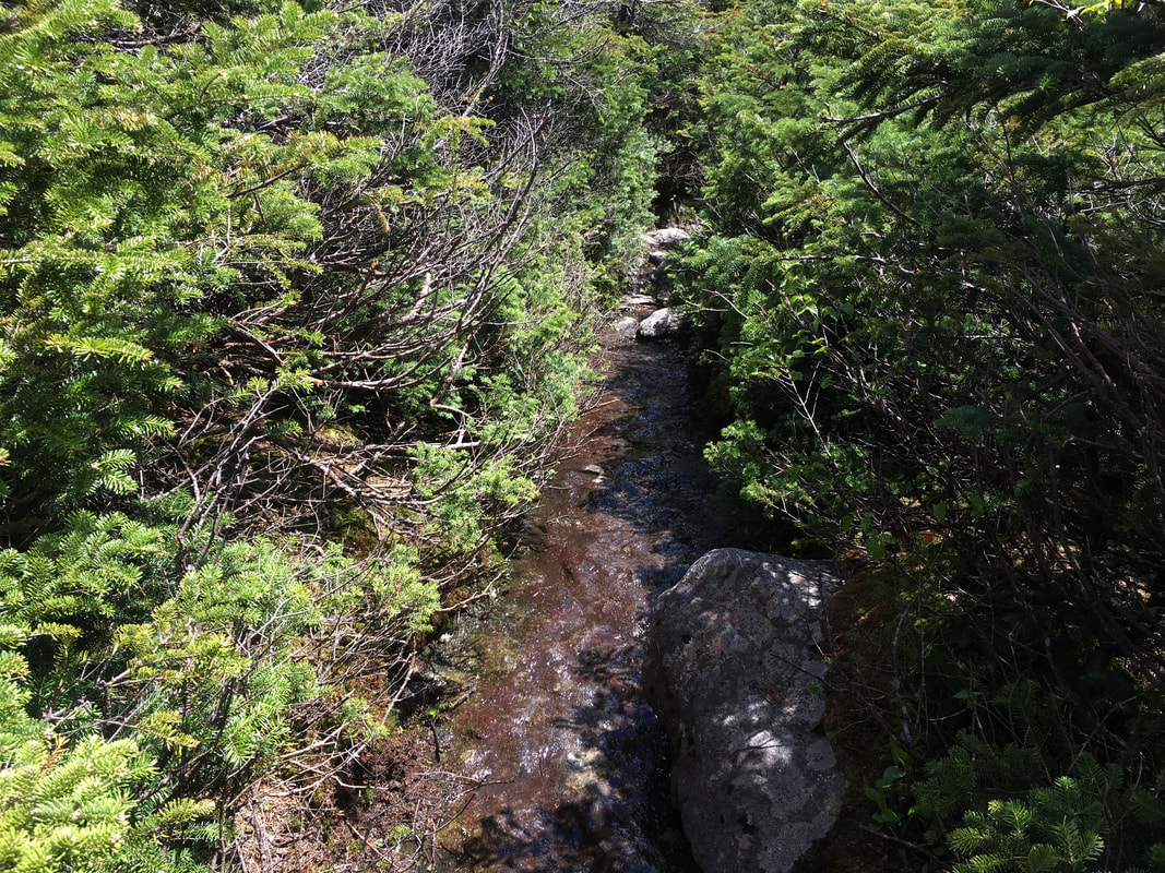
Instead, you have to find the narrow path through the bush...
|
A closer look at the arrow revealed that somebody kindly scratched the word "Iroquois" into the right hand side...
|
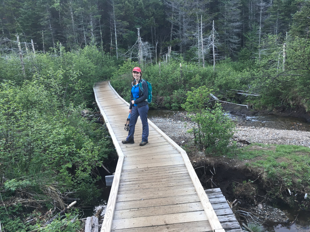
You SHOULD see boardwalks after turning right. If you descend from Algonquin and don't hit boardwalks after half a mile, you have most certainly taken the wrong turn. I still can't believe we did that. I'm just glad that we didn't lose hours like some of the other hikers I read about. Part of the problem is that the path just curves left and you can't see the path off to the right clearly. Anyway, consider yourself warned by yet another blog post: turn RIGHT at that arrow! |
|
On Boundary Peak, it was incredible to look back at what we had just hiked and forward to what we would be hiking next!
Niels on Boundary Peak
|
Looking back at Algonquin. We just climbed that!
|
The hike up Iroquois had some wet parts and was steep in places, but overall it wasn't too difficult.
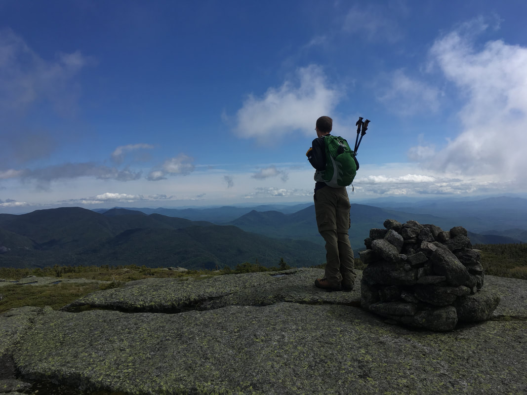
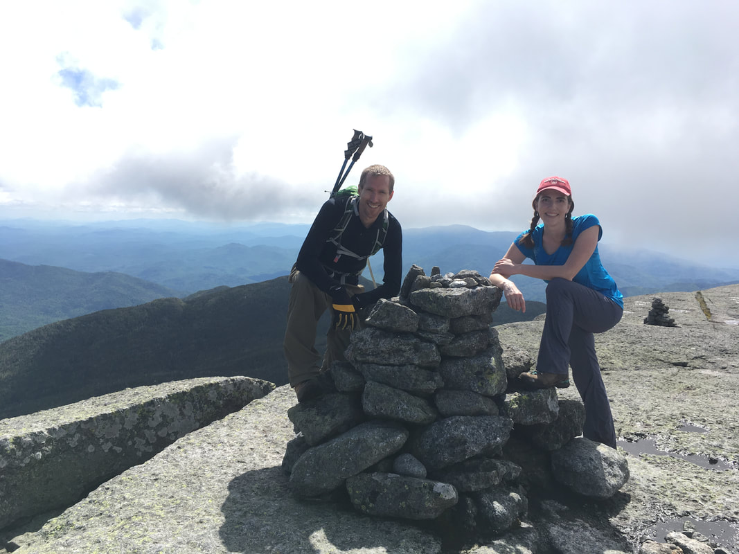
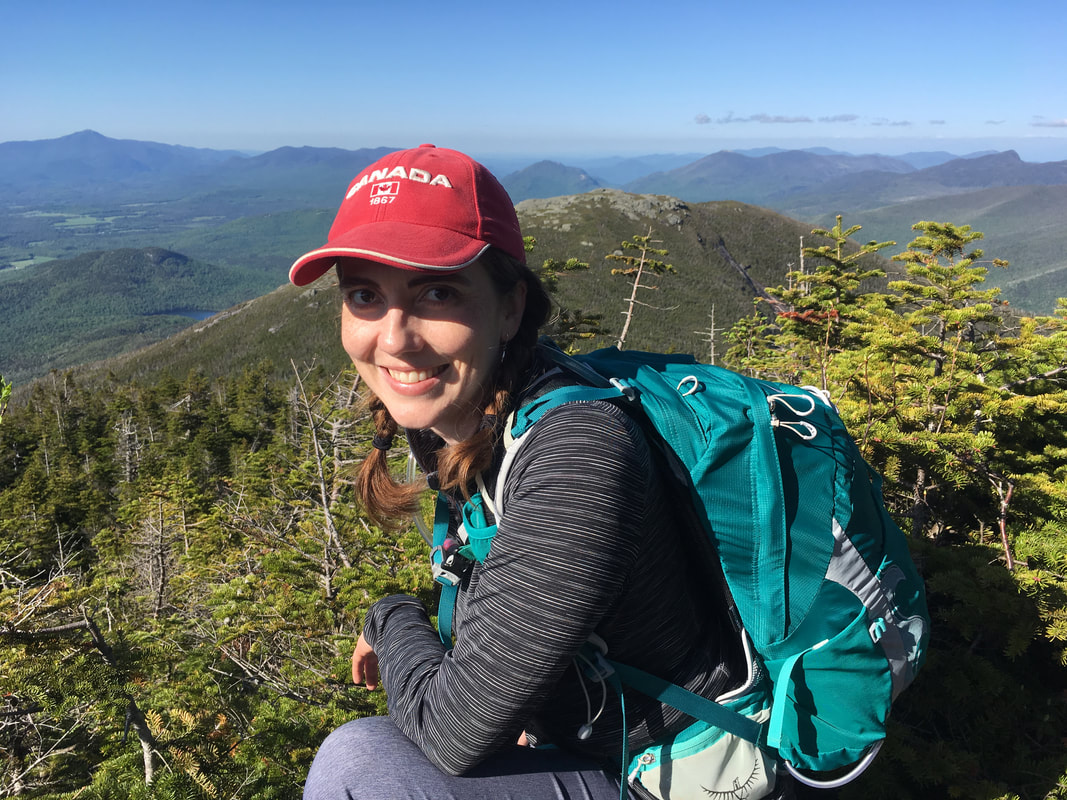
Before we knew it (at about 3:20pm), we were standing on the beautiful and isolated Iroquois Peak. There was only one other hiker up there - perfect, a photographer.
Iroquois Peak, 4840 feet, #8 in height
|
|
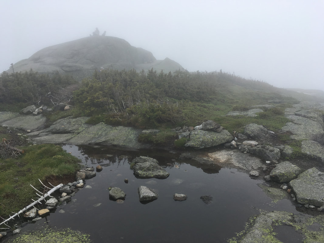
Iroquois Peak is one of my new favourites. It has gorgeous 360 views and is not crowded like Algonquin. I felt as though I could see everything in the ADKs from here! Colden (and it's famous Trap Dike and slides) are directly beside you, and Mount Marcy is behind it. You can see the whole Great Range, Big Slide, Giant and even Whiteface off in the distance. On the other side, you can see Wallface Mountain and it's steep cliffs. We could also view Lake Placid and the Olympic Ski Jump. WOW! Niels and I spent some quality time on this peak.
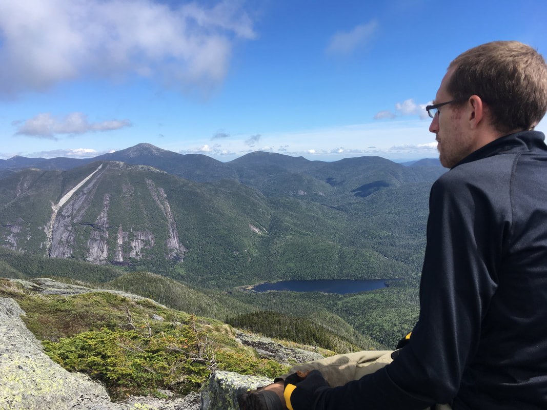
Niels looking at Mount Colden, with Marcy in the distance
|
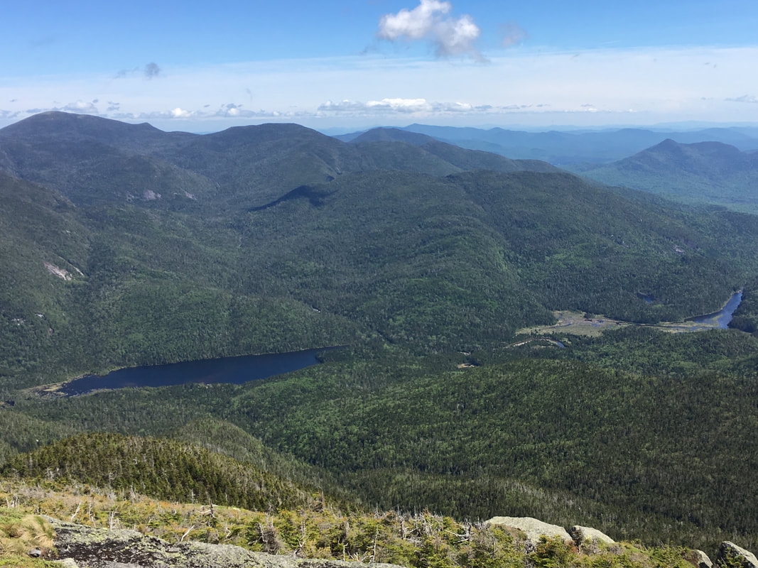
Lake Colden and the Flowed Lands
|
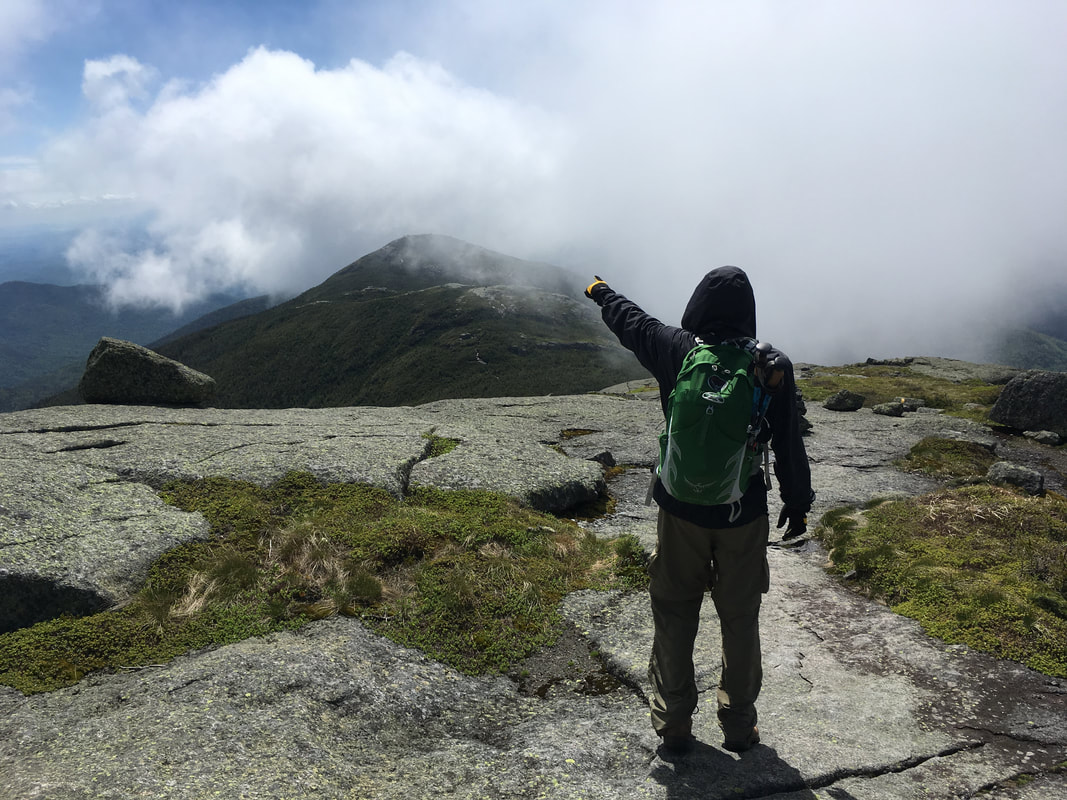
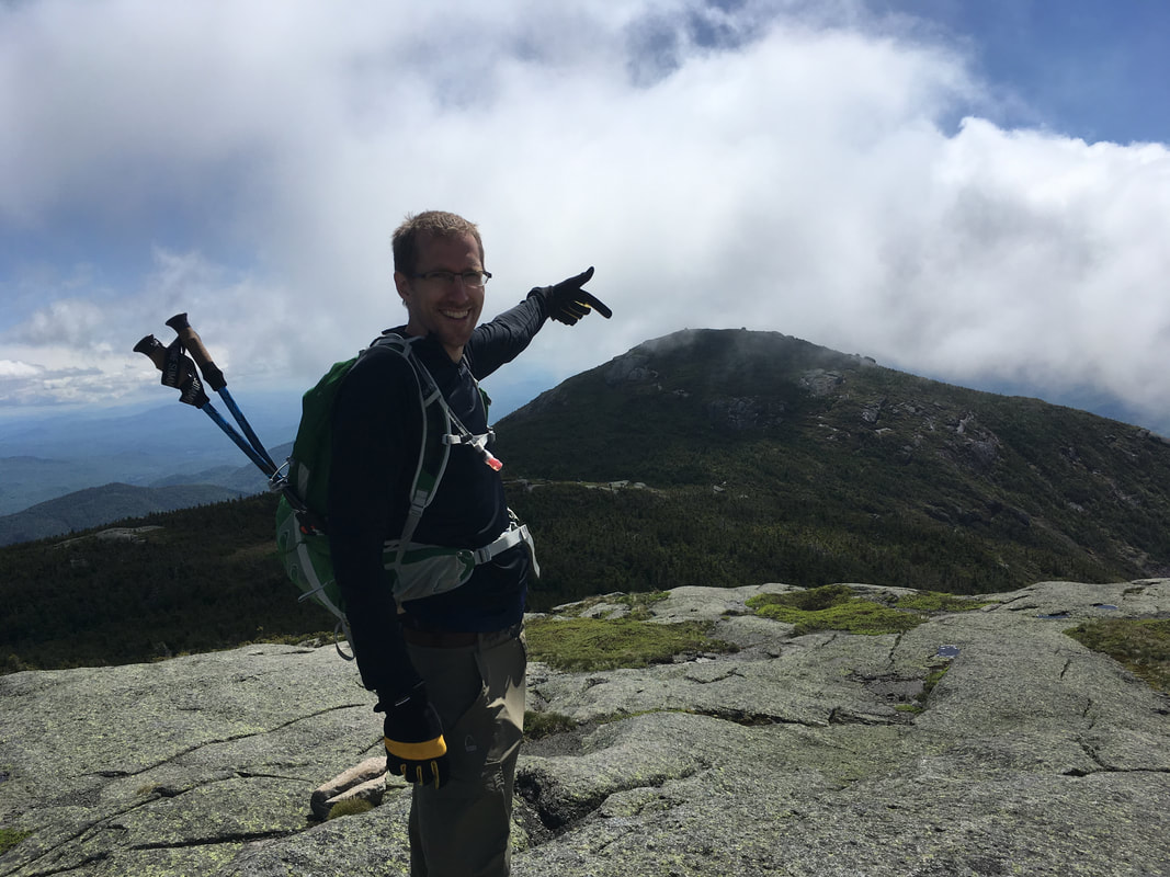
Next we headed back to Algonquin to enjoy that peak a second time around. The skies had definitely cleared out and we felt very blessed to have the views. Phew! I'm so glad that we didn't 'waste' this hike on a miserable day after all. Click here for our 360 views... sorry, as you can hear it was such a windy day!
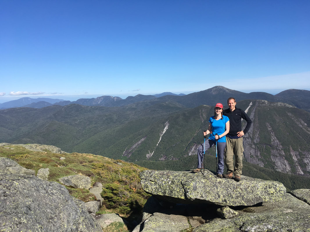
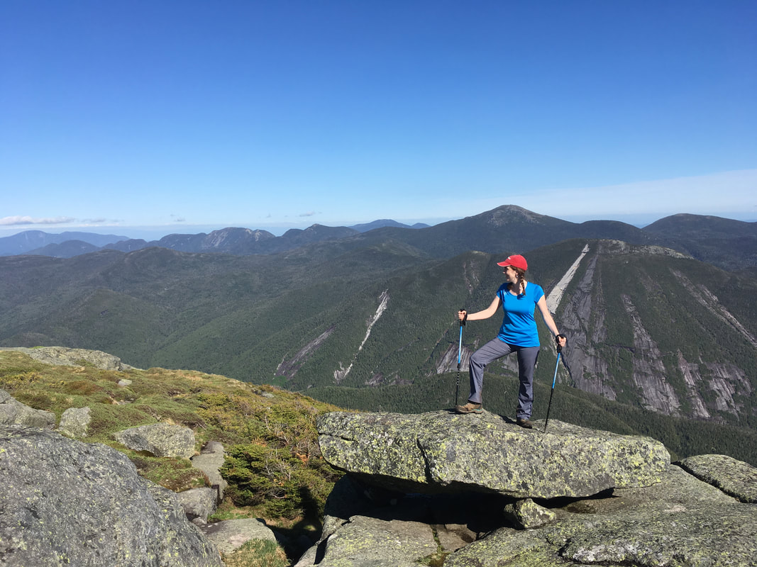
We left Algonquin (for the second time) at 5pm. The best part about hiking out was that we got to see Wright Peak clearly now. When we stood on that peak earlier in the day, we were completely surrounded in mist!
Shannon pointing to Wright Peak
|
We did all three peaks! I'm a happy hiker!
|
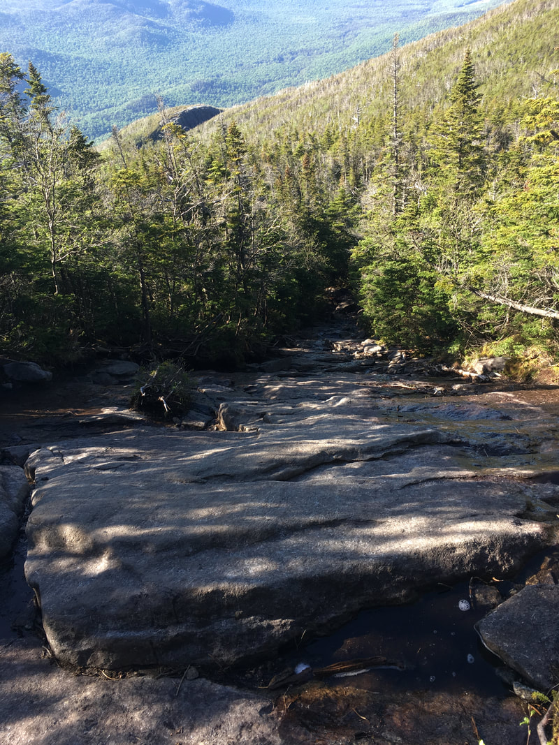
I'd already forgotten how rocky this trail was! It took us 50 minutes to descend this half mile section... we had to be careful not to slip and we tried to save our knees as much as possible by using our poles.
Rock
|
Rock
|
More rock
|
Wow... the paths on the main trail are just jumbled rocks...
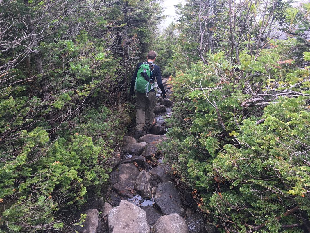
We were glad when the path evened out and we felt actual dirt under our feet. We quickly scooted out of there by 8pm. What started as a misty hike with no promise of views ended with a 360 panorama of peak after peak after peak... a hike well worth it!
Total Distance (Iroquois, Algonquin & Iroquois): 10.2 miles (16.4 kilometers)
Total Time: 11 hours
Total Time: 11 hours
Comment Form is loading comments...
