Dial and Nippletop Mountains (Clockwise Loop)
Adirondack Hike: May 13th, 2023
Adirondack Hike: May 13th, 2023
Eager to return to our beloved Adirondack mountains, we decided to start our hiking season a little earlier than usual this year. While the weather was bright and sunny in Ottawa, I was worried about snow in the High Peaks. I did my research and realized that we might well encounter residual snow above 3500 feet. We kept reading Adirondack trip reports that included the terms "rotten snow" or "melting snow spine."
"What does THAT mean?" asked this Canadian girl. "Rotten snow spines? I have no idea..." responded Niels.
Let's just say that after this hike, we were quite familiar with those terms....
In preparation for our Dial & Nippletop adventure, we reserved our parking spot at the AMR lot two weeks in advance and booked into our favourite Keene lodging: The ADK Trail Inn. With lovely hosts, a perfect location, free hiker's packed breakfast and the calming Ausable River right beside it, this place is our go to when heading to the Adirondack mountains!
While the internet strongly suggested we do the loop counterclockwise, Niels and I decided to hike it clockwise this time for the following reasons:
PROS:
-gradual ascent
-we could turn around after Dial if the snow was too bad and get Nippletop later with Colvin/Blake (they are all quite close)
-we could make a decision about visiting Fish Hawk Cliffs, Indian Head or Rainbow Falls after completing Dial & Nippletop (at that point, we'd have a clearer idea about our time and how we felt!)
CONS:
-we needed to descend the steep section of Elk Pass rather than ascend it (it's generally better to climb UP the steep, rocky sections!)
In the end, I think we made the right decision based on our weather. It wasn't bad descending Elk Pass because most of it was covered in snow and I just slid down it... but if hiking again in the summer, I think I would hike Dial and Nippletop counter-clockwise!
Dial
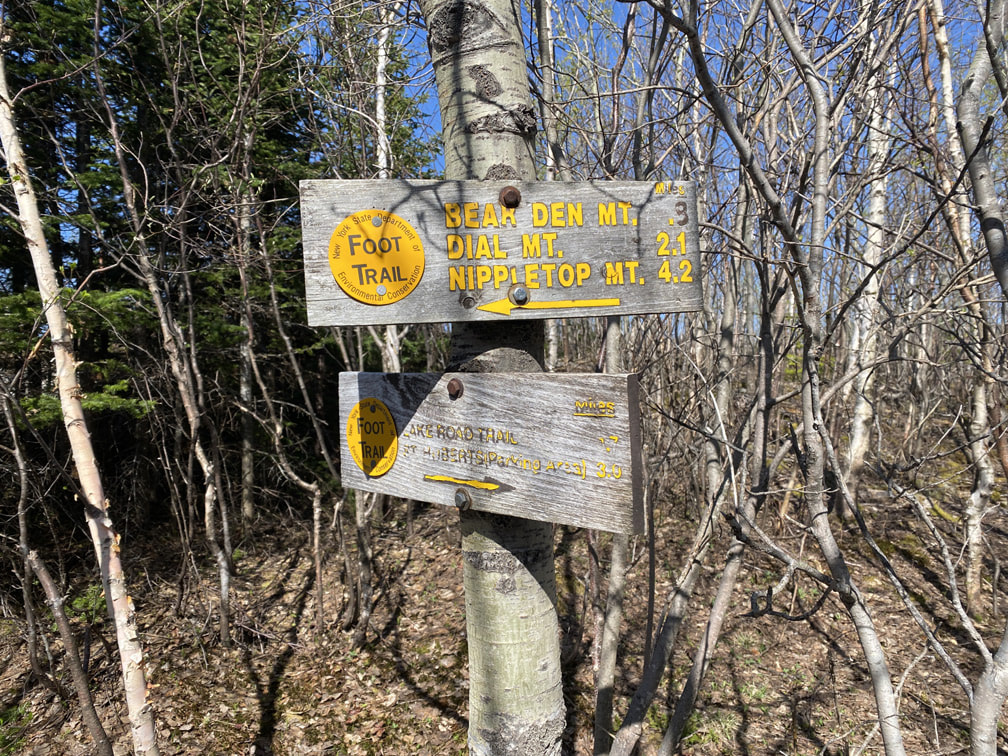
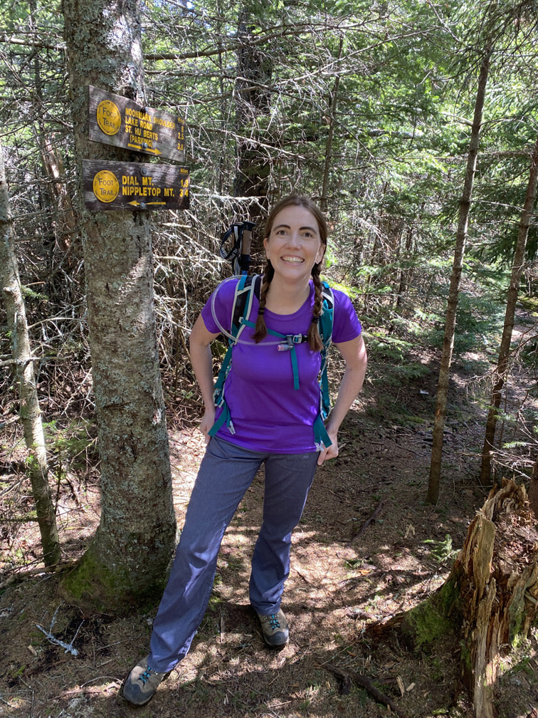
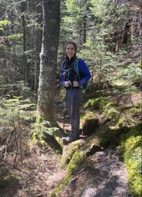
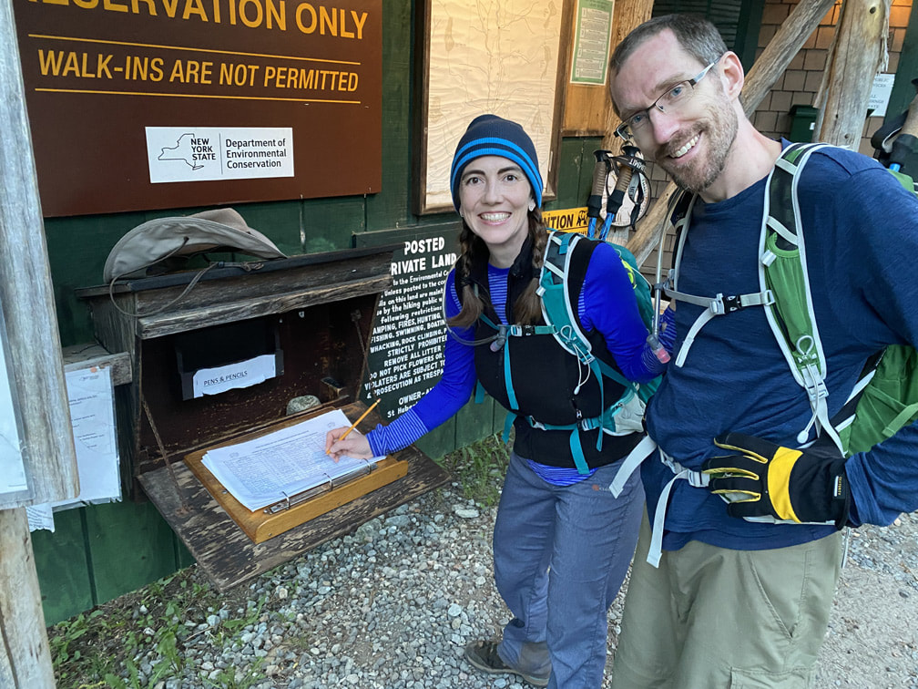
We awoke to perfect hiking weather. Whoohoo! Clear skies, a cool breeze and sun. What more could we ask for? After parking, we walked 0.84 miles from the parking lot to the AMR gate and signed in at the register at 7:30am. Then we followed Lake Road for another 0.68 miles to the Leach Trail turnoff towards Dial Mountain.
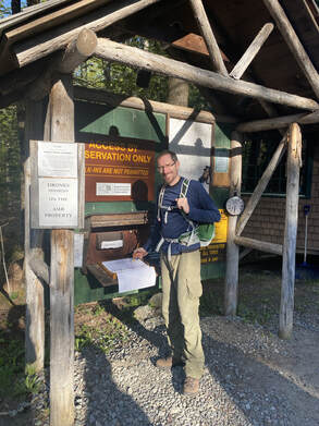
Niels signing in at the AMR Gate, Adirondacks
|
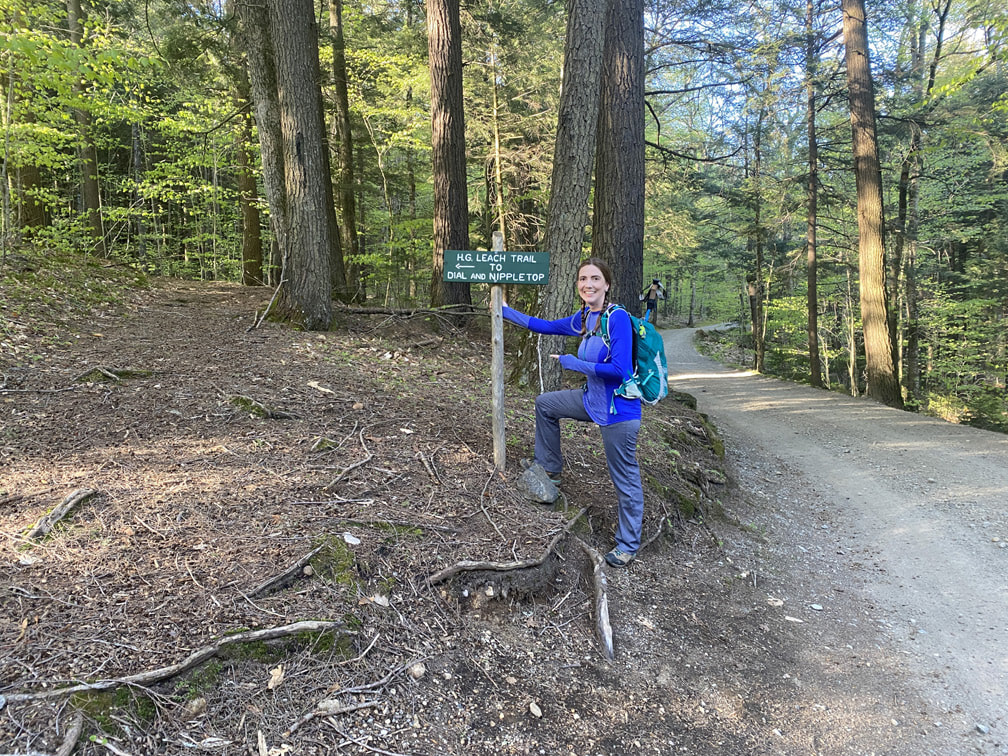
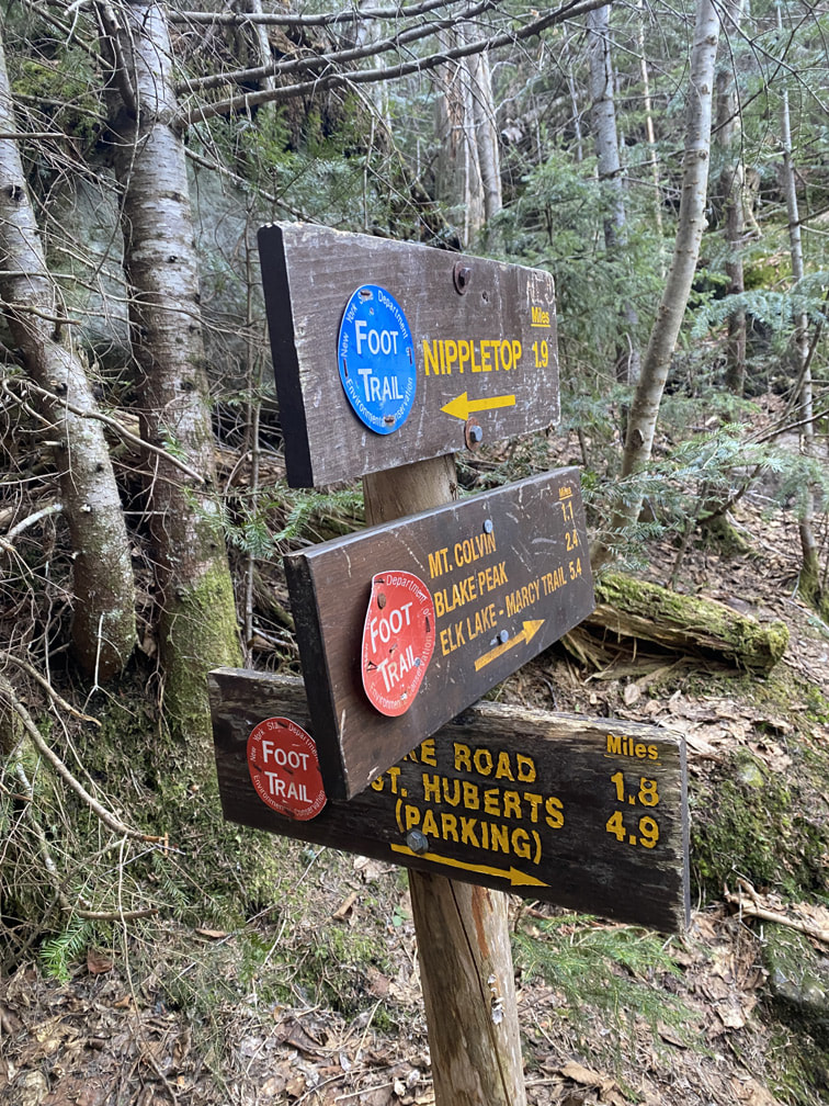
Turn left onto the H.G. Leach Trail towards Dial and Nippletop!
|
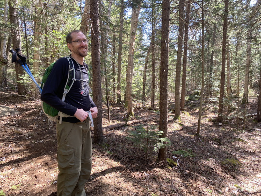
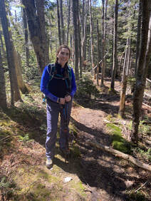
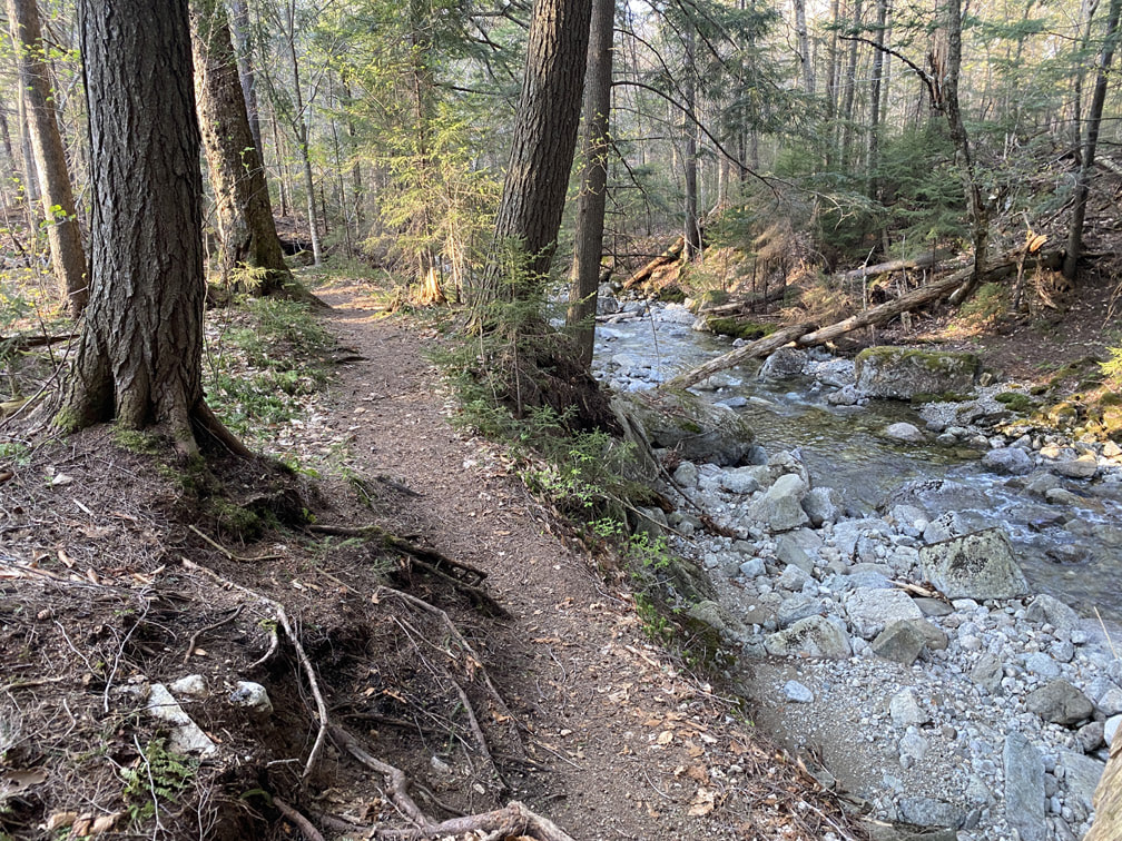
The Leach trail is a steady, gradual climb towards Dial Mountain. We found it so beautiful and actually lovely to hike. The forest ground was covered in soft pine needles and foliage, there was a little stream flowing beside us and the birds were chirping in full force. Both of us just breathed in the Adirondack beauty!
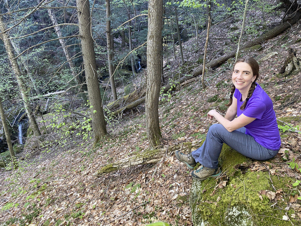
Enjoying the stream along the trail!
|
Hiking up Leach Trail towards Dial Mountain, Adirondacks
|
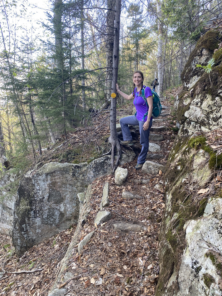
After 2.3 miles (from the parking lot), we passed from AMR private land into ADK public land... you can tell because the trail markers change and they post signage (and there happened to be a perfect resting tree...)
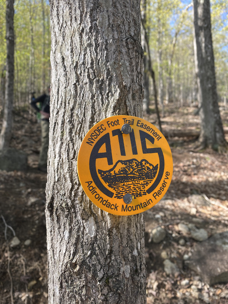
AMR Trail Marker
|
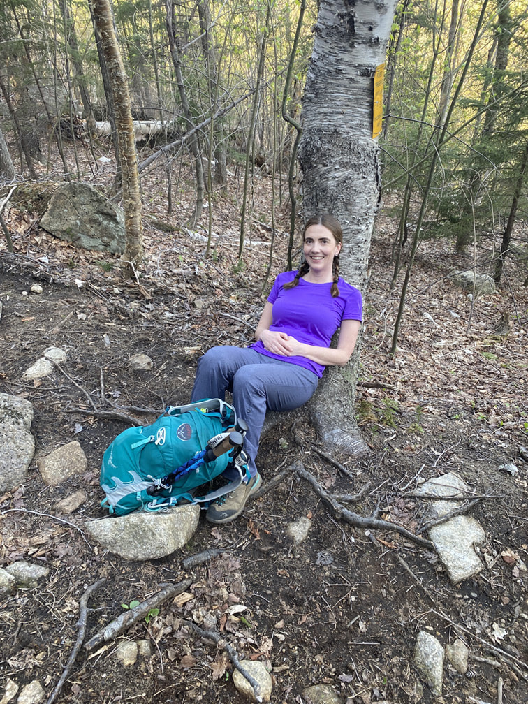
Perfect ADK resting tree
|
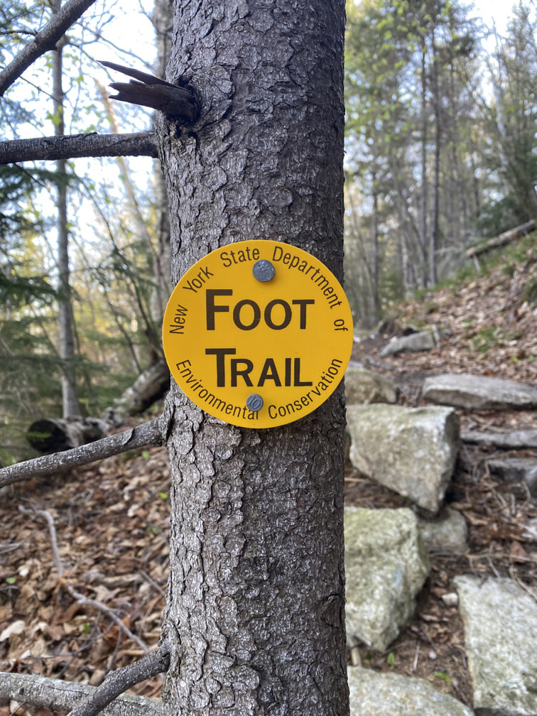
ADK Trail Marker
|
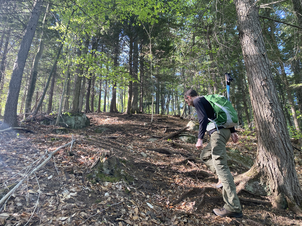
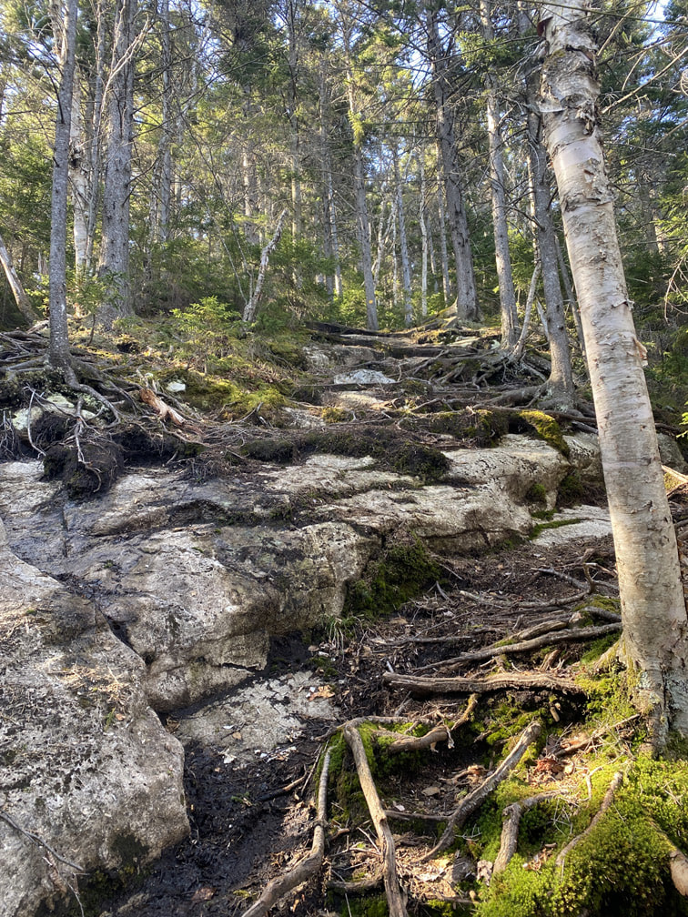
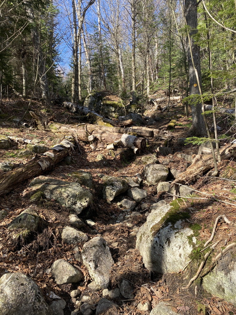
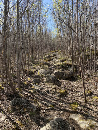
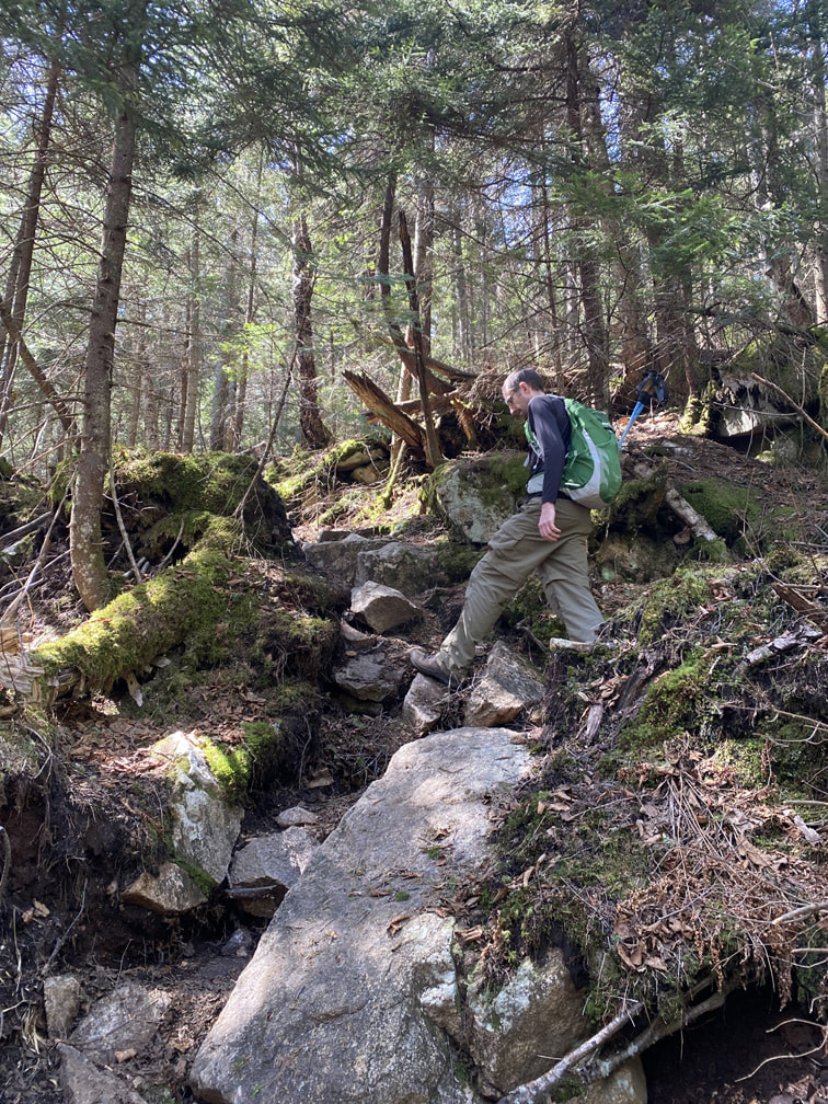
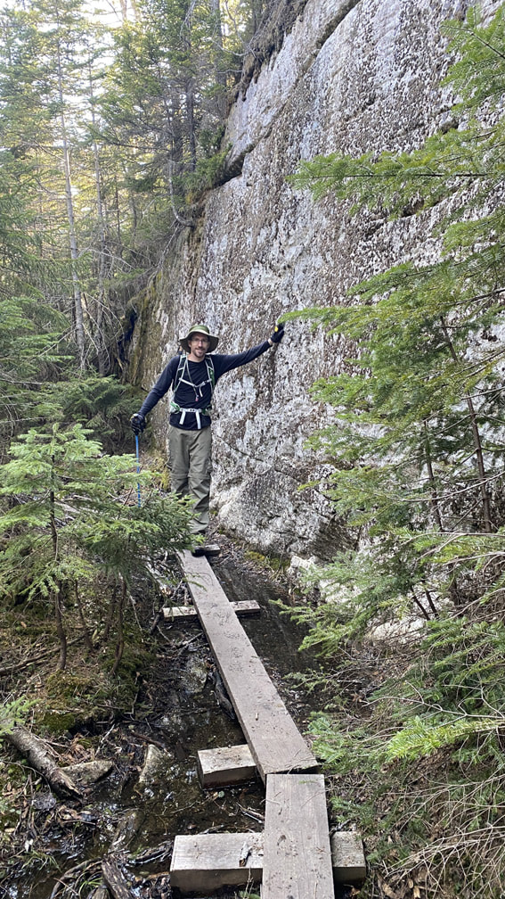
Ask we hiked, the trail got a bit more rocky and rooty, but it wasn't bad compared to other ADK high peaks!
|
|
|
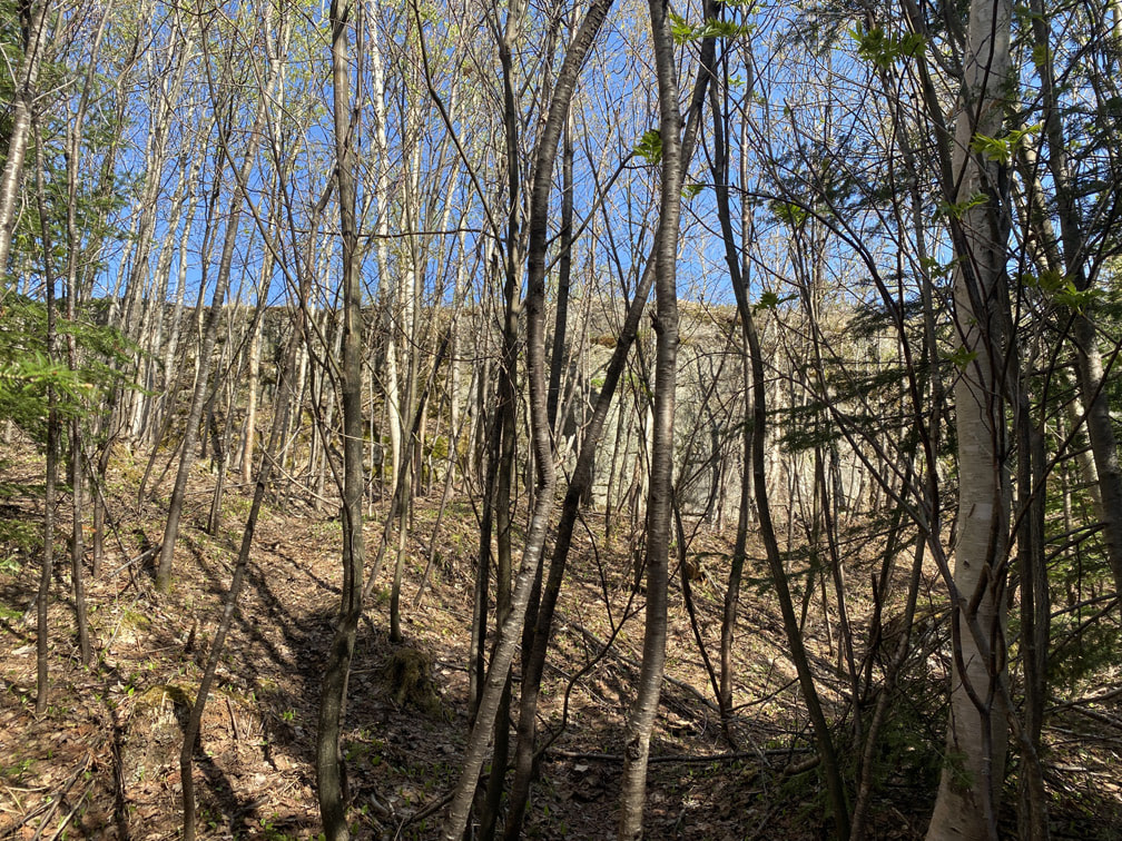
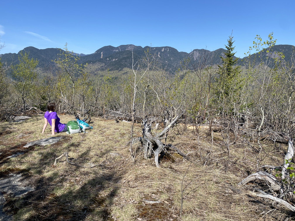
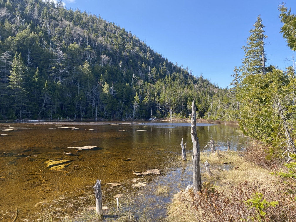
If you want a lovely, secluded place to stop before you hit Bear Den, bushwhack a few meters at the spot I marked on the map below (you'll see the big rock through some tree brush). It provided lovely views of the Great Range just a few meters off the trail!
|
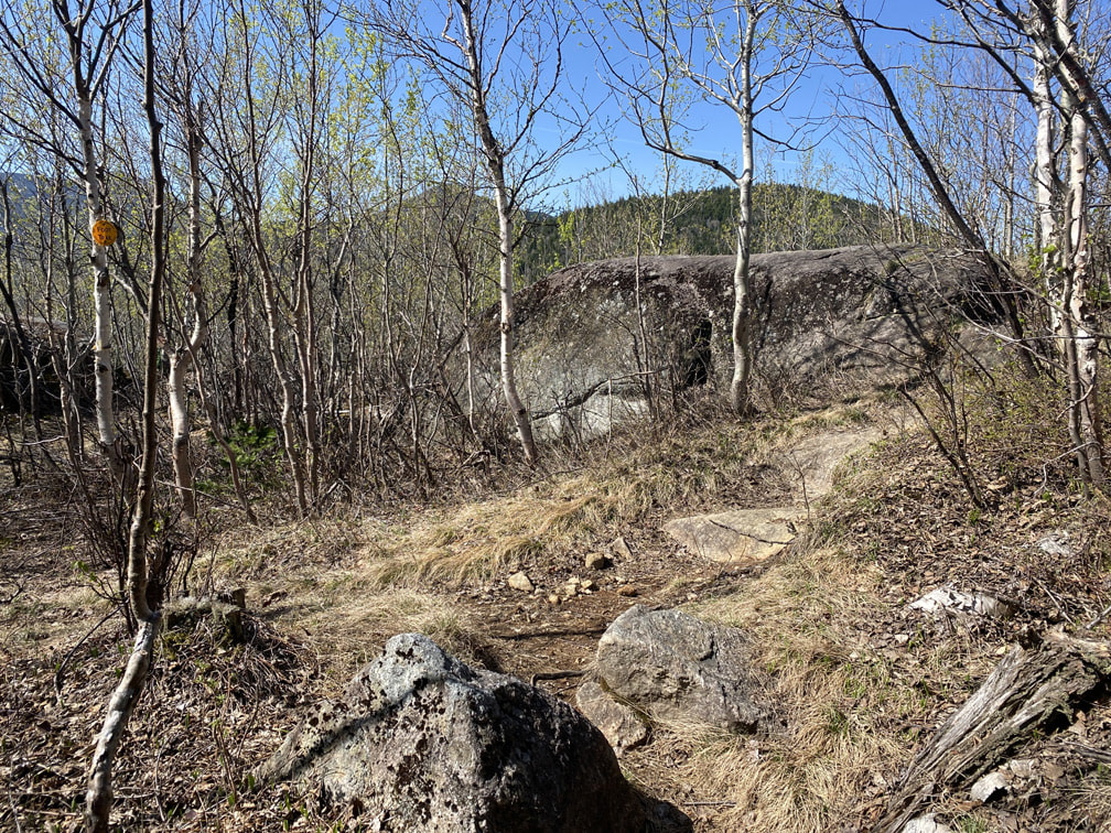
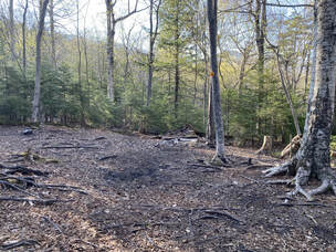
As we ascended Bear Den, we suddenly found ourselves hiking through a forest of young aspen trees. These saplings seemed out of place in a mature maple, birch and hemlock forest, and rightly so. This is the site of the 1999 Noonmark Fire, started accidently by an improperly doused fire left behind by campers. Particularly dry conditions mixed with tree debris from logging operations caused a massive fire to spark, consuming around 90 acres of Adirondack Forest. The Noonmark Fire actually created what's known as "Noonmark Shoulder," a particularly beautiful rock ledge that now provides astounding views of the Great Range and several other high peaks. Ecologists have studied this area extensively, and determined that the fire was particularly bad due to high winds of the approaching Hurricane Floyd. Usually Adirondack fires burn from the ground up, but the extensive winds and particularly dry, flammable birch trees caused the flames to leap over 200 feet high. Firefighters were quickly ordered off the mountain in such a rush that many had to leave behind their tools to burn in the blaze. Hurricane Floyd caused many effects in the Adirondacks that September. When the rains came, they thankfully doused the Noonmark Fire (just in time to save the Ausable Club). The high winds most likely blew in new aspen seeds from afar that would later take root in the area. Over by Avalanche Lake, the hurricane created yet another massive slide on Mount Colden (a 1000ft one at that - the middle wide one clearly seen from Marcy Dam). Hurricane Floyd was the most powerful storm of the 1999 Atlantic hurricane season, and it's name has now been retired by the World Meteorological Organization. It certainly left its mark, literally, on our little corner of the world. |
Walking through a young Aspen forest, growing after the 1999 Noonmark Fire

Photo Credit: AllTrails
|
Shortly after the new aspen forest, you'll come to this sign indicating that you turn left towards Bear Den Mountain. STOP! Don't miss the GORGEOUS rock ledge on Noonmark Shoulder just to the right of that sign! Trust me, turn right first to catch some gorgeous views...
Sign telling you to turn left towards Bear Den Mountain, Adirondacks
|
Turn RIGHT over this rock to catch some incredible views!
|
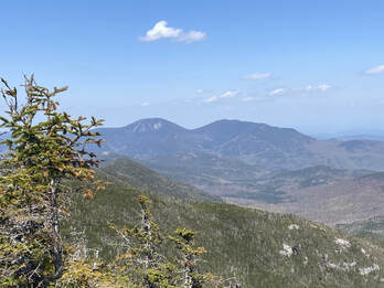
Incredible views of the Great Range from Noonmark Shoulder.
Next, onto Bear Den and then Dial behind it. Off to the left you can see Dix (which we hiked last fall!)
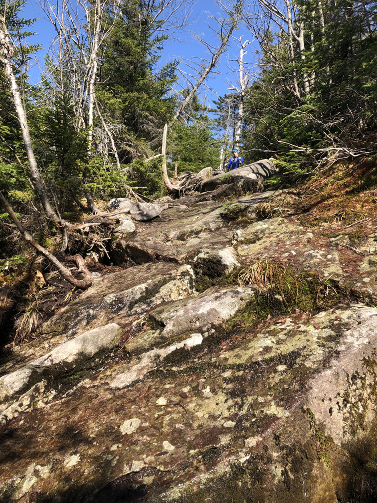
After this, the trail to Bear Den definitely got rockier and steeper, but again, still not bad compared to other high peaks. I had read in other blog posts that hikers love Nippletop as the ascent is *relatively* gradual compared to other high peaks. I'd have to agree! After 3 hours and 3.85 miles, we arrived at the treed summit of Bear Den.
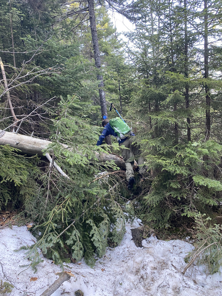
We regularly hop over downed trees!
|
A rocky path
|
Summit of Bear Den, Adirondacks
|
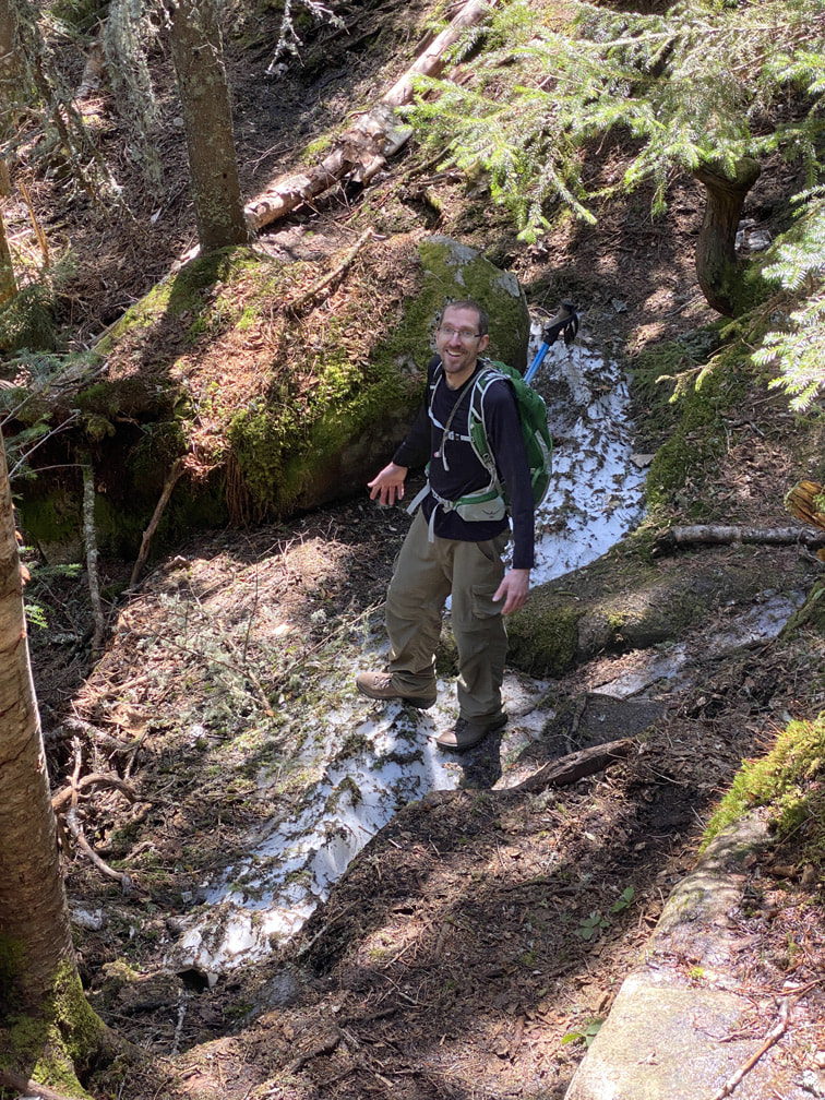
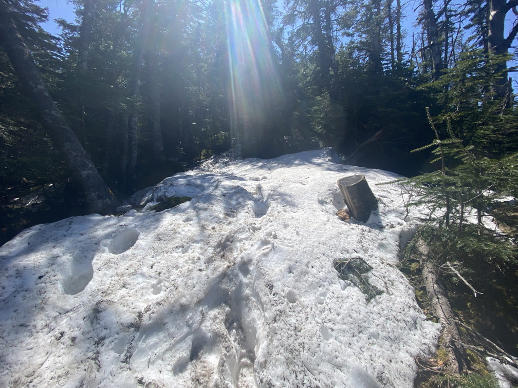
We descended into a beautiful col, and then trekked up to Dial Mountain. On our way up Dial, we saw our first signs of snow!
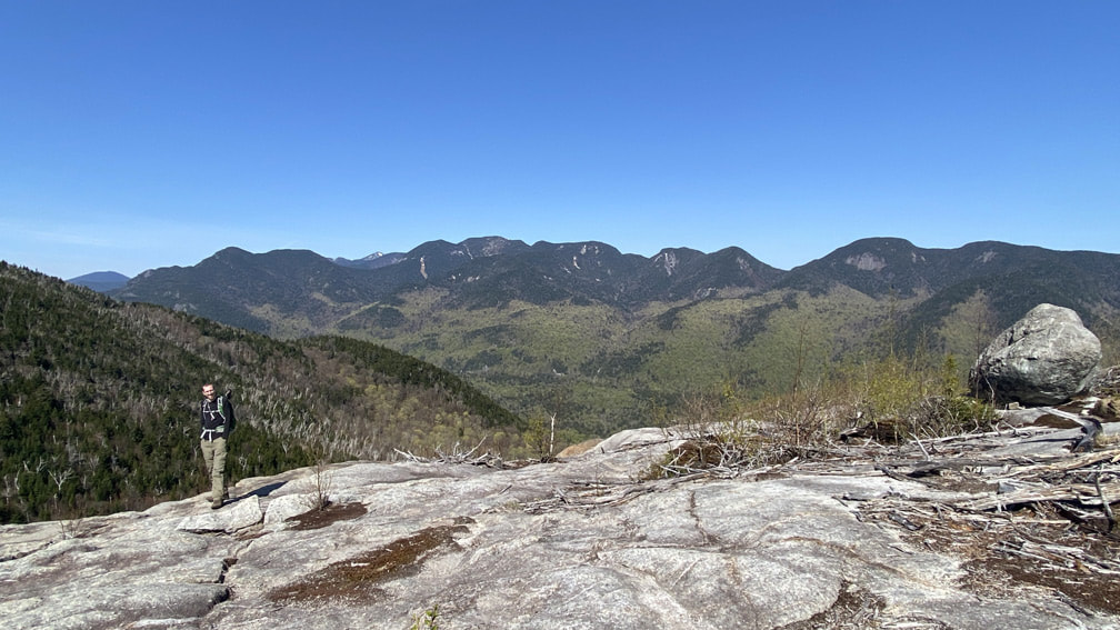
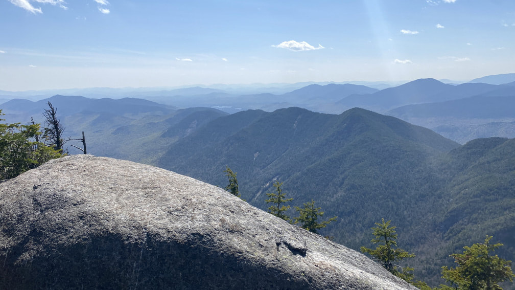
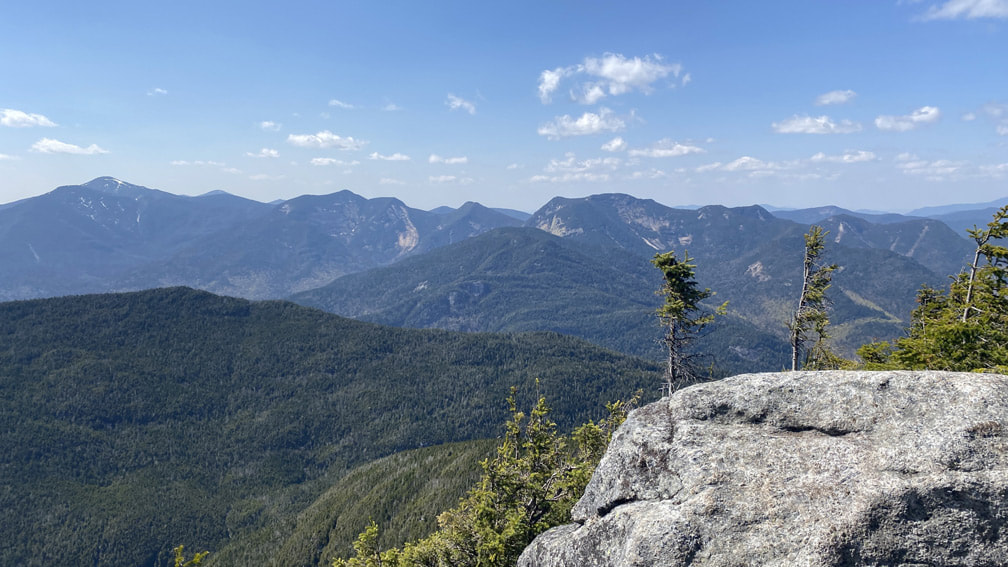
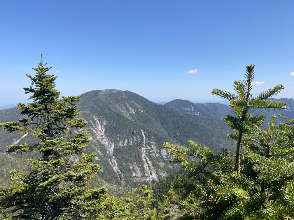
After 4 hours and 5 miles (from the AMR parking lot), we summited Dial Mountain. This high peak ranks #41 in height at 4020 feet. The summit is marked by a large boulder with astounding views of the Great Range! Take a look at this video to see more.
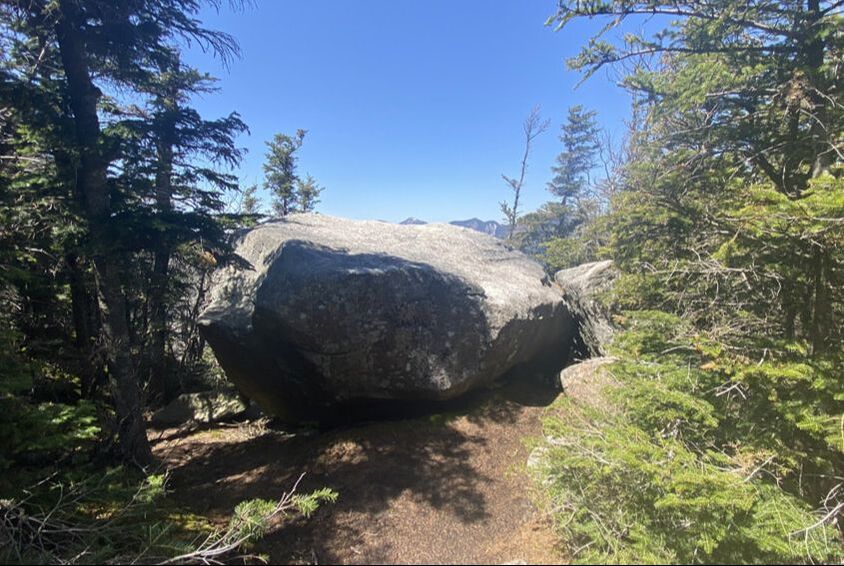
Official Summit of Dial Mountain, Adirondacks
|
We did it! #27 ADK high peak for us!
|
Another ADK high peak adventure! Our elevation gain at this point was 3000ft.
Nippletop
After half an hour of summit enjoyment, we descended Dial. We just love the feel of the Adirondack Mountains. The trees, the rocks, the moss... the birds and wildlife... this is truly is our happy place!
Trail descending from Dial towards Nippletop
|
Niels has decided he likes hiking with only one pole, not two!
|
|
Nobody really gives much attention to the 'col' between peaks, but I personally love them. I found that this Dial & Nippletop trail had lovely long cols with relatively flat ground. This trail was also very cushioned, unlike many other rocky paths in the ADKs! To me, there's something magical about walking through a forested col at a higher altitude, especially in the Adirondacks! |
|
|
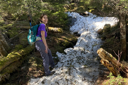
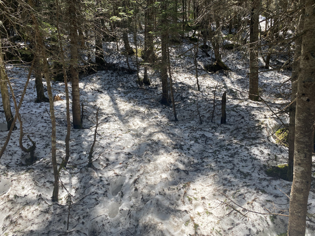
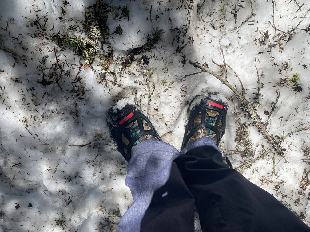
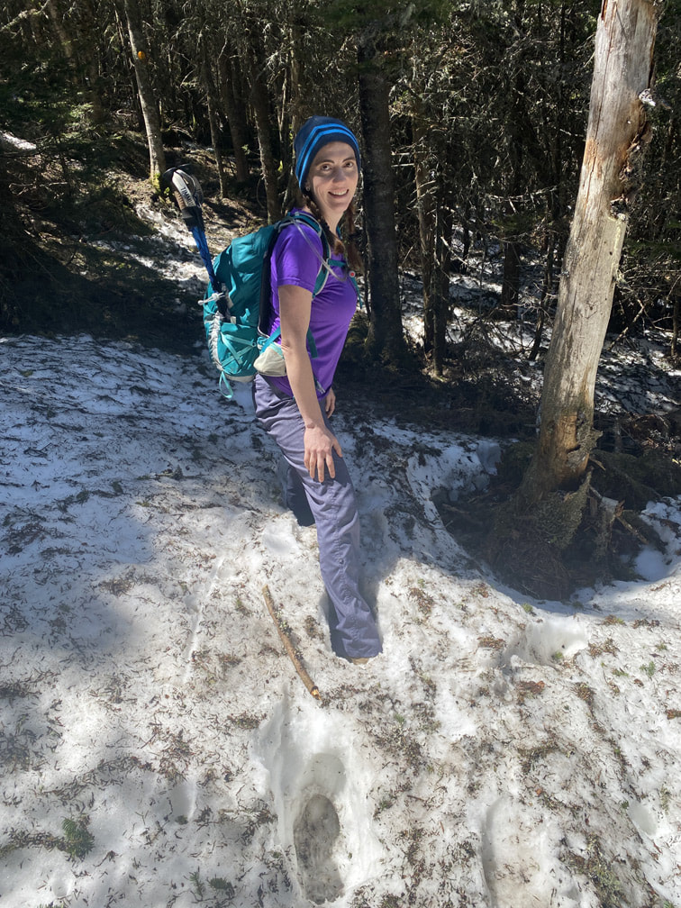
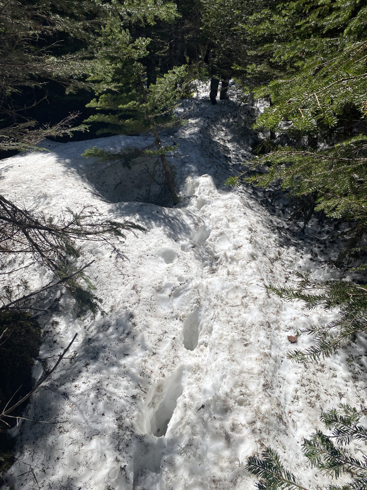
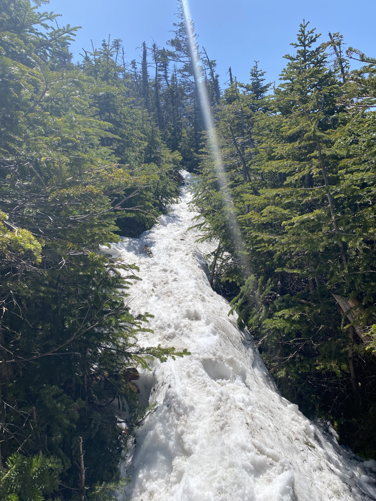
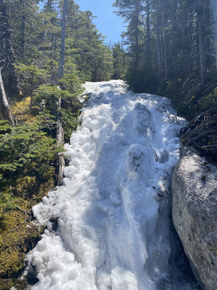
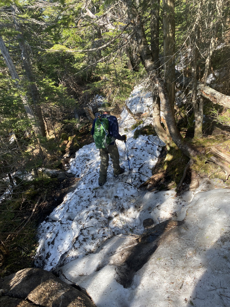
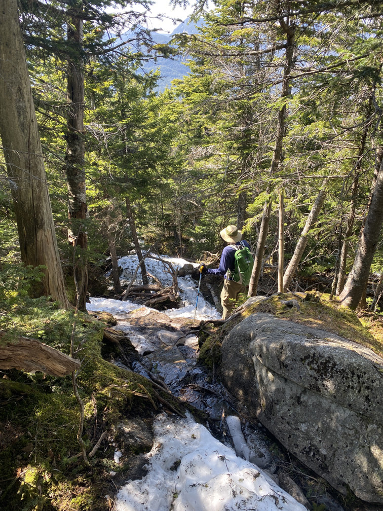
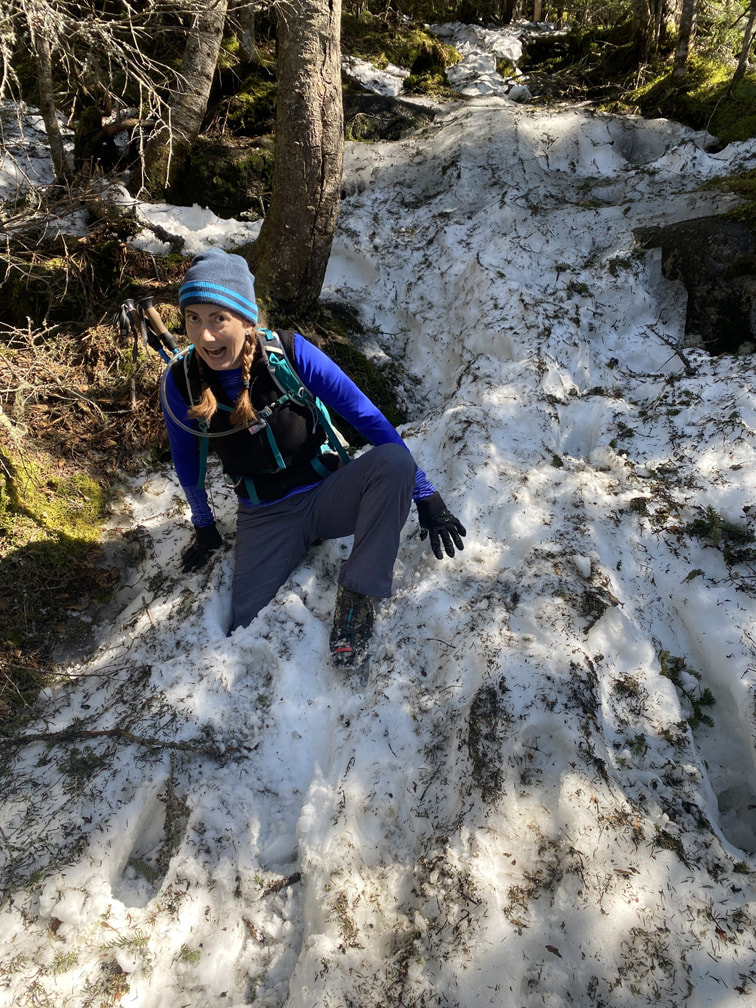
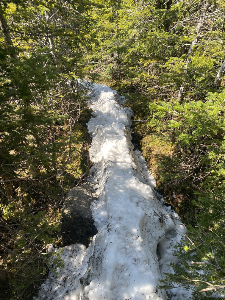
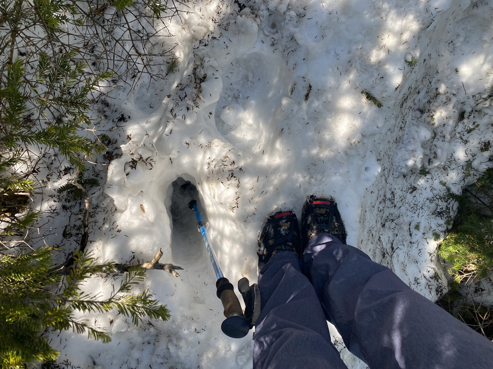
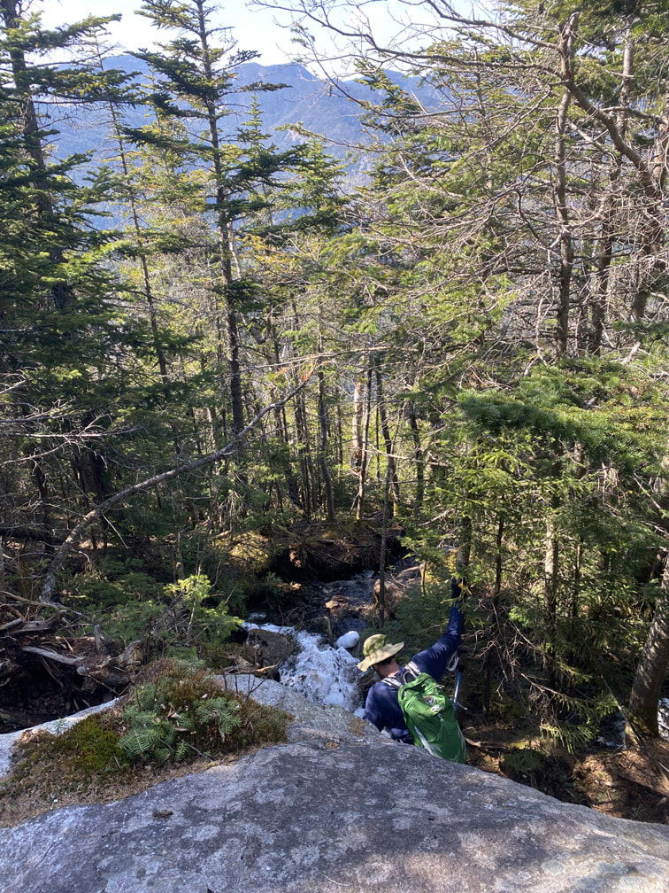
As we began our ascent to Nippletop, we noticed a LOT more snow! The small patches began to get bigger... and deeper... and harder to traverse! There were patches of trail without snow... that were WET! Out come the spikes!

|
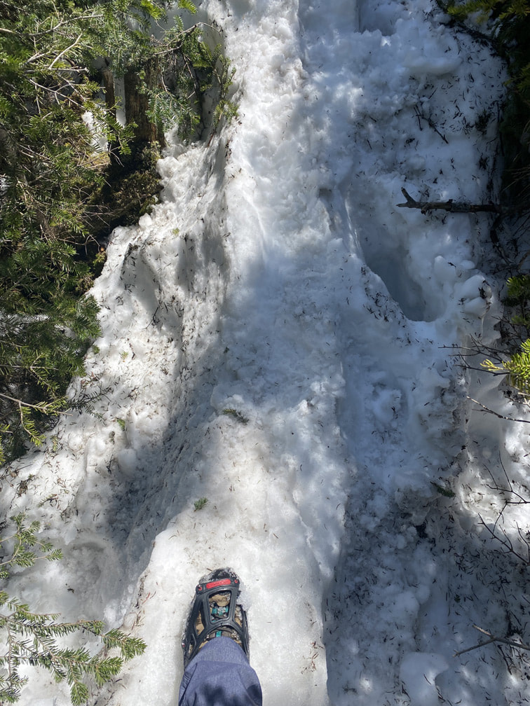
Unfortunately, my spikes did nothing to stop me falling through the rotten snow... some footsteps stayed firm, but others just collapsed into the melting mound. Good thing I brought an extra pair of dry hiking socks! |
|
At this point, I was a bit frustrated with the snow. Each step I took was precarious... would the melting snow spine hold my weight or would I sink right through? A few times (ok, a lot), my foot slipped sideways and I lost my balance. Niels seemed to do just fine (without spikes). I guess snowshoes would have been key.
|
|
|
|
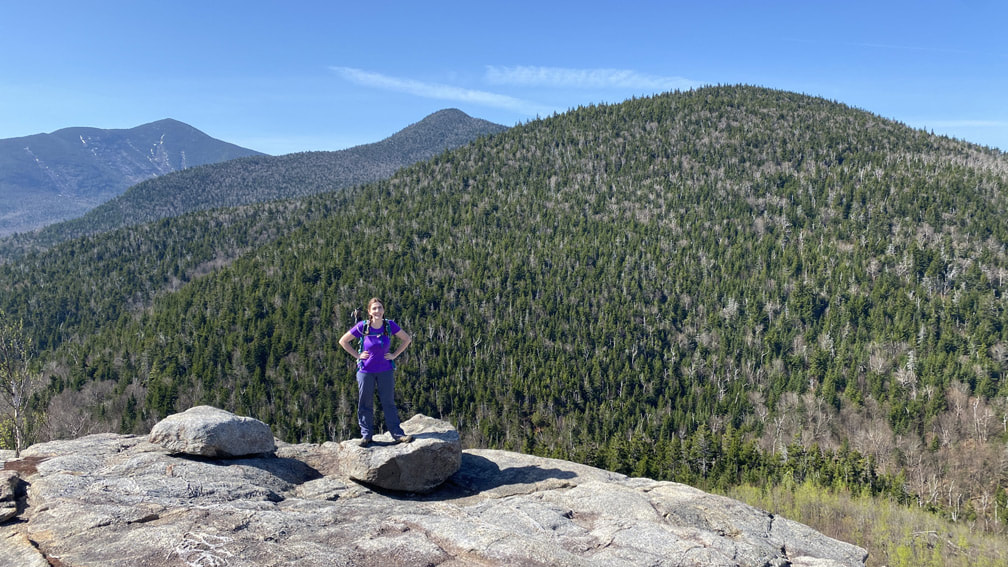
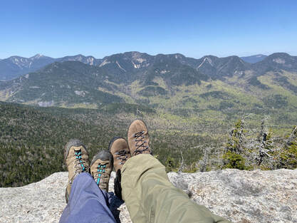
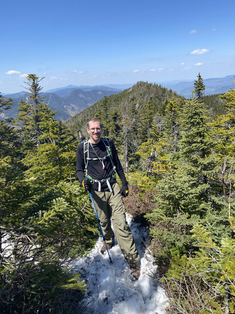
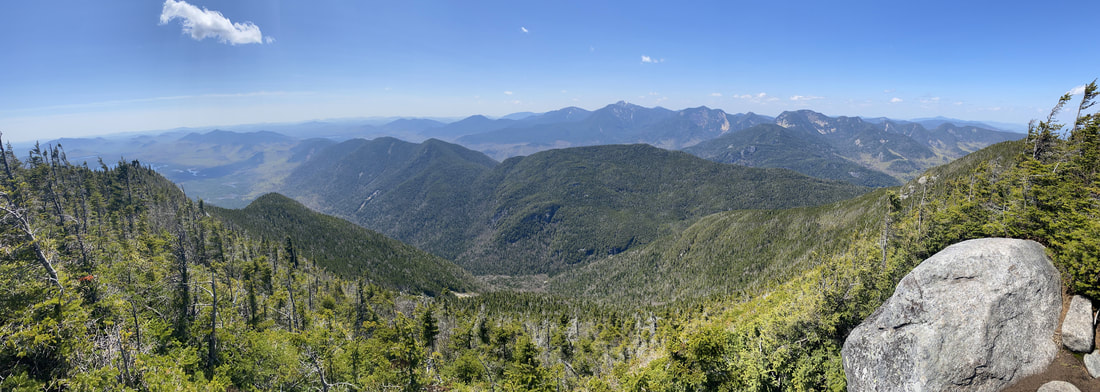
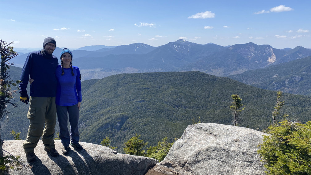
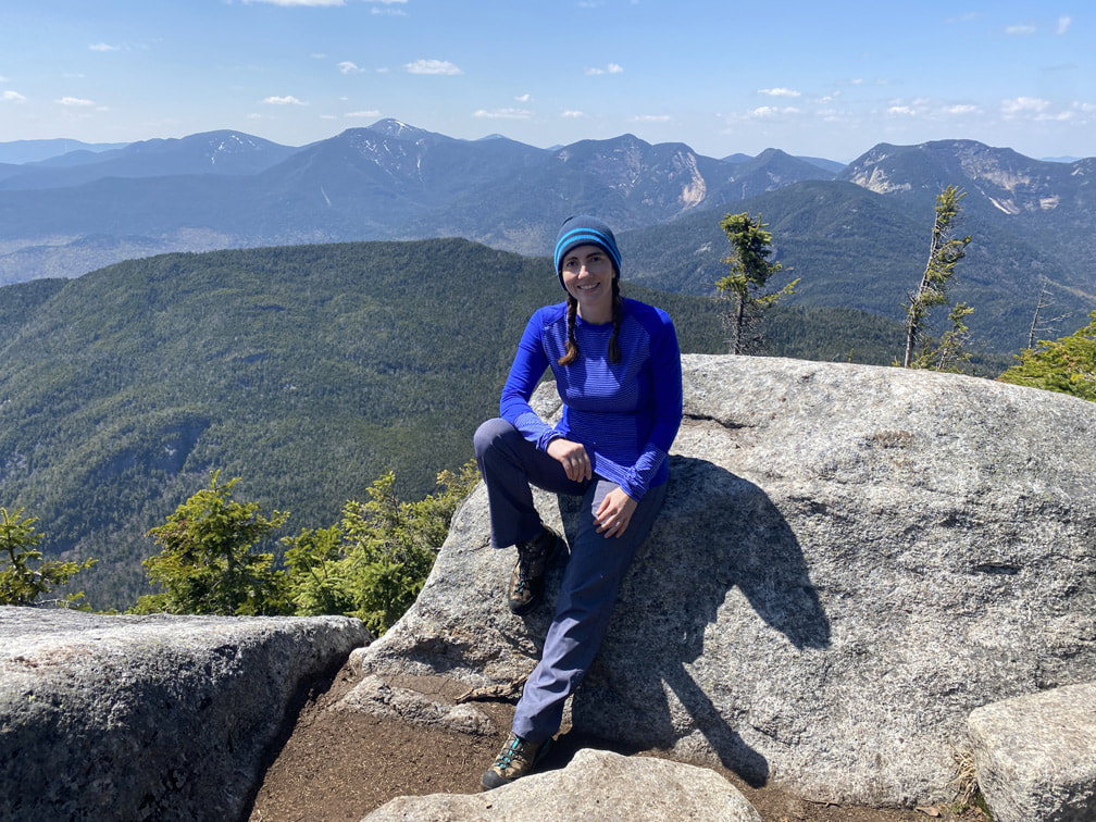
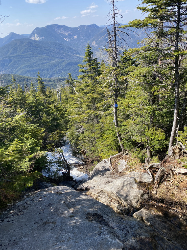
We hit the summit of Nippletop after 7 miles (since the parking lot!) and 6 hrs, 45 minutes. Nippletop ranks #13 in height at 4620 feet. Our elevation gain so far was 3900 feet. Just look at those views!
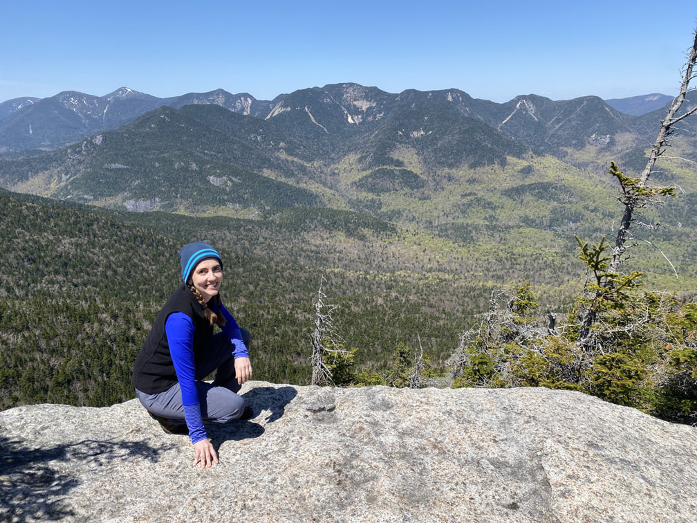
Beautiful high peak views form the summit of Nippletop, Adirondacks.
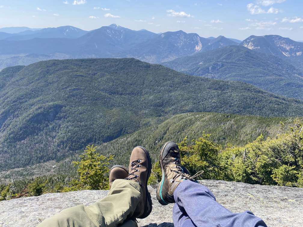
Everywhere you looked, there were mountains upon mountains!
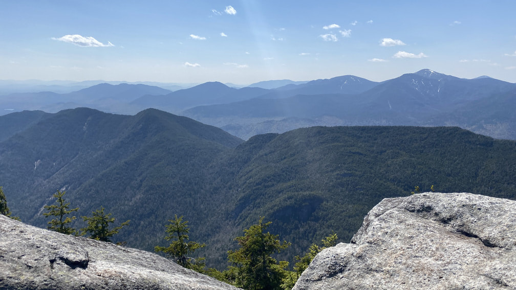
Such beautiful views of the Great Range and beyond! Click here to watch a video!

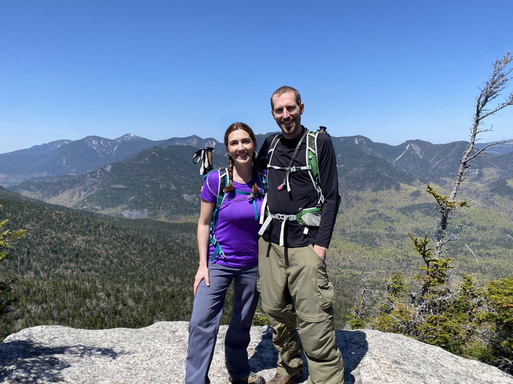
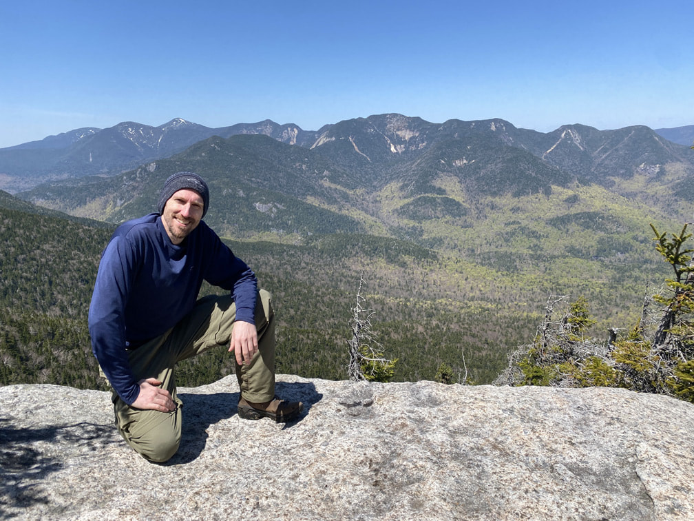
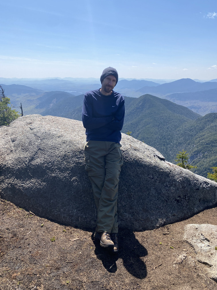
Niels standing on the official summit of Nippletop, Adirondacks
What a gorgeous day on Nippletop Summit
|
|
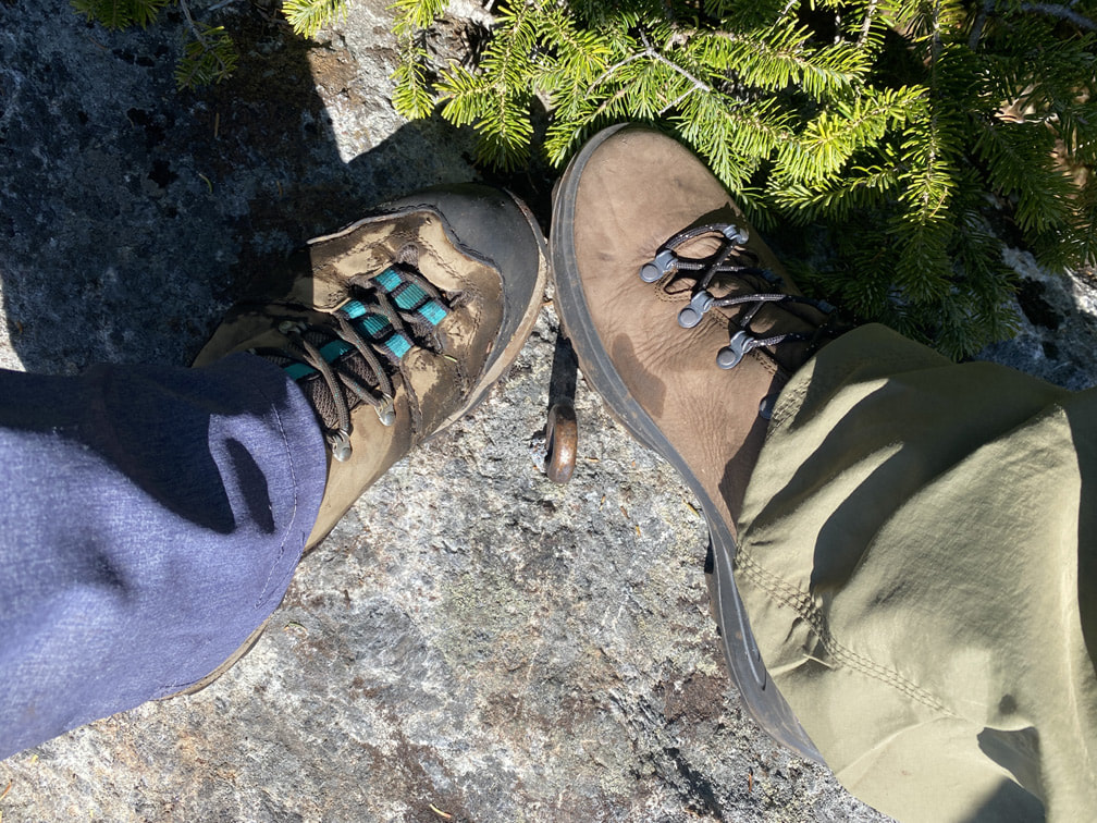
If you search around the treed part of the summit, you can spot other high peaks as well: Giant and Rocky Peak Ridge (climbed that!) and Dix Mountain (that too!). It was also truly lovely to take off my wet socks and let them dry in the sun, all while enjoying a kit kat treat.
View of Giant and Rocky Peak Ridge
|
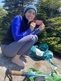
Time for a Kit Kat!
|
View of Dix Mountain
|
After a full hour on the summit, we began the trek down. I donned my microspikes, but I don't think they really helped at all. Honestly, I gave up being dry and just slid down parts of the snow spine on my bum! Niels had no problem hiking down normally with no spikes (his tip: dig your heel into the snow first). The descent from Nippletop to the sign for Elk Pass took us no time at all.
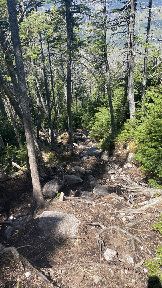
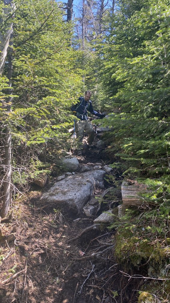
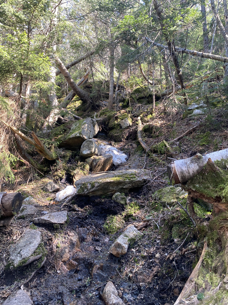
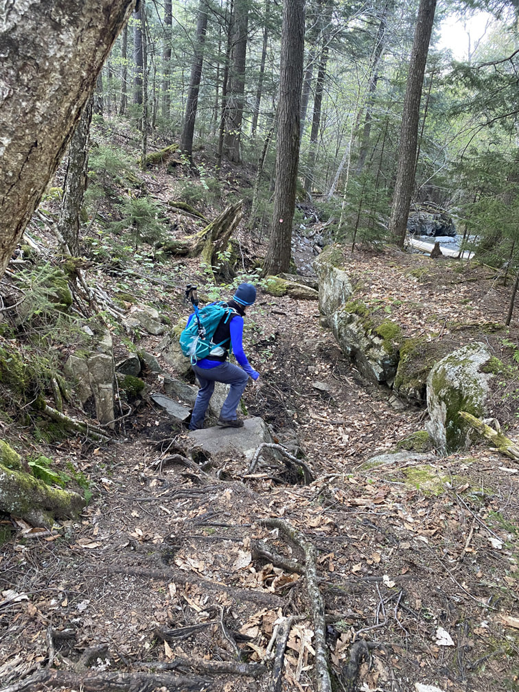
After the snow disappeared, the second half of Elk Pass was definitely rocky and steep. I think it would be better to do this trek counterclockwise in the summer months! We just took it slowly and were fine.
|
|
|
|
|
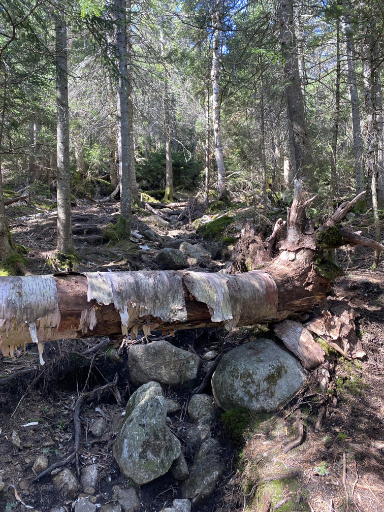
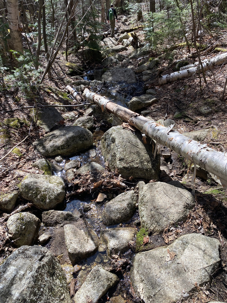
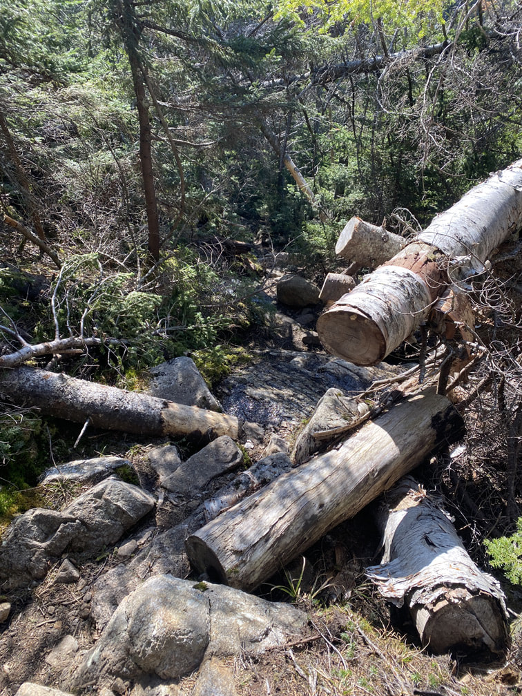
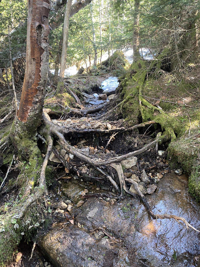
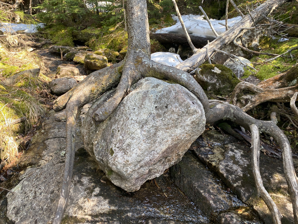
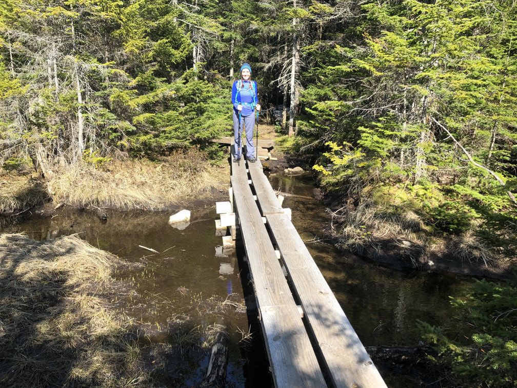
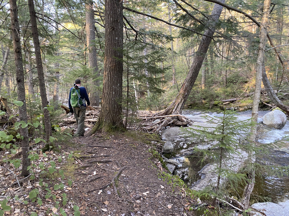
I'm always amazed by the root systems in the Adirondacks - just take a look at that tree growing over the rock below! Wow! Soon we passed the Elk Lake Campsites (there are two different sites) and continued on towards the lakes. I loved the bridges they provided for us!
|
|
|
After some meandering (and some tree hopping!), we came across the sign that announced we were five miles away from our trailhead!
We checked out the Gill Brook campsites along this route. The location of our favourite one is marked on the map below. There were several places for tents and they were located next to running water. I hope to be back here camping one day!
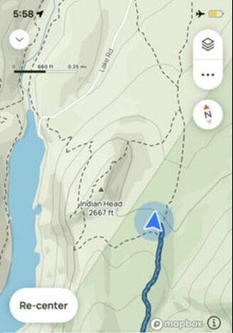
Location of Gill Brook Campsites (closer to Indian Head)
|
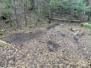
Gill Brook Campsites, Adirondacks
|
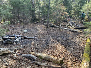
Below is the location of the other Gill Brook camping site: these campsites had more roots, but were still beautiful and beside water!
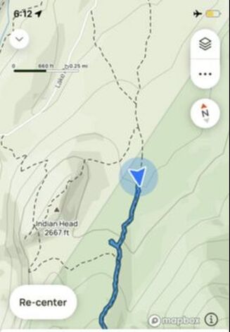
Second Location of Gill Brook Campsites (closer to the trailhead)
|

Gill Brook Campsites, Adirondacks
|
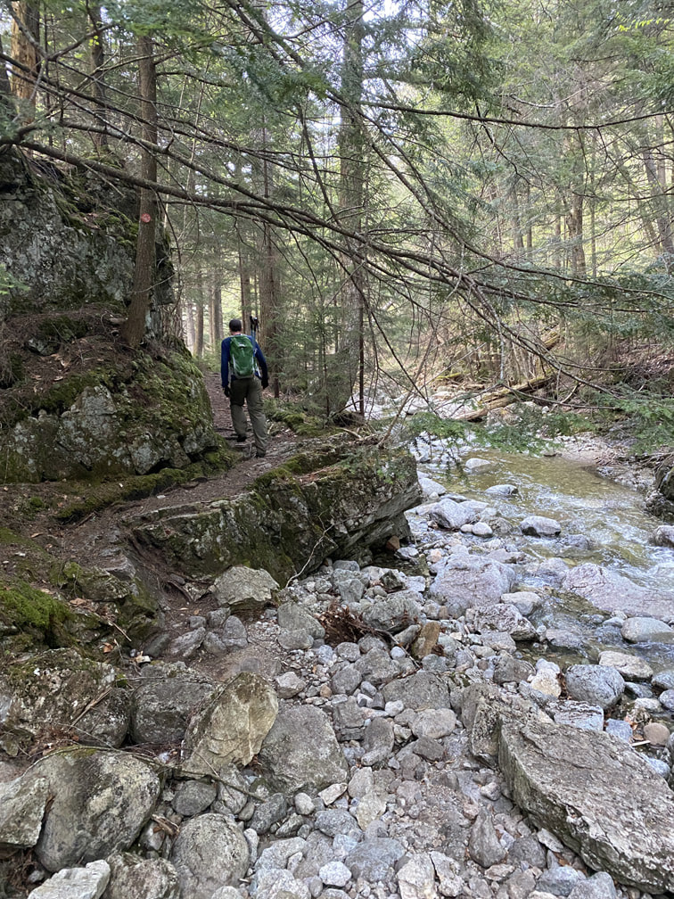
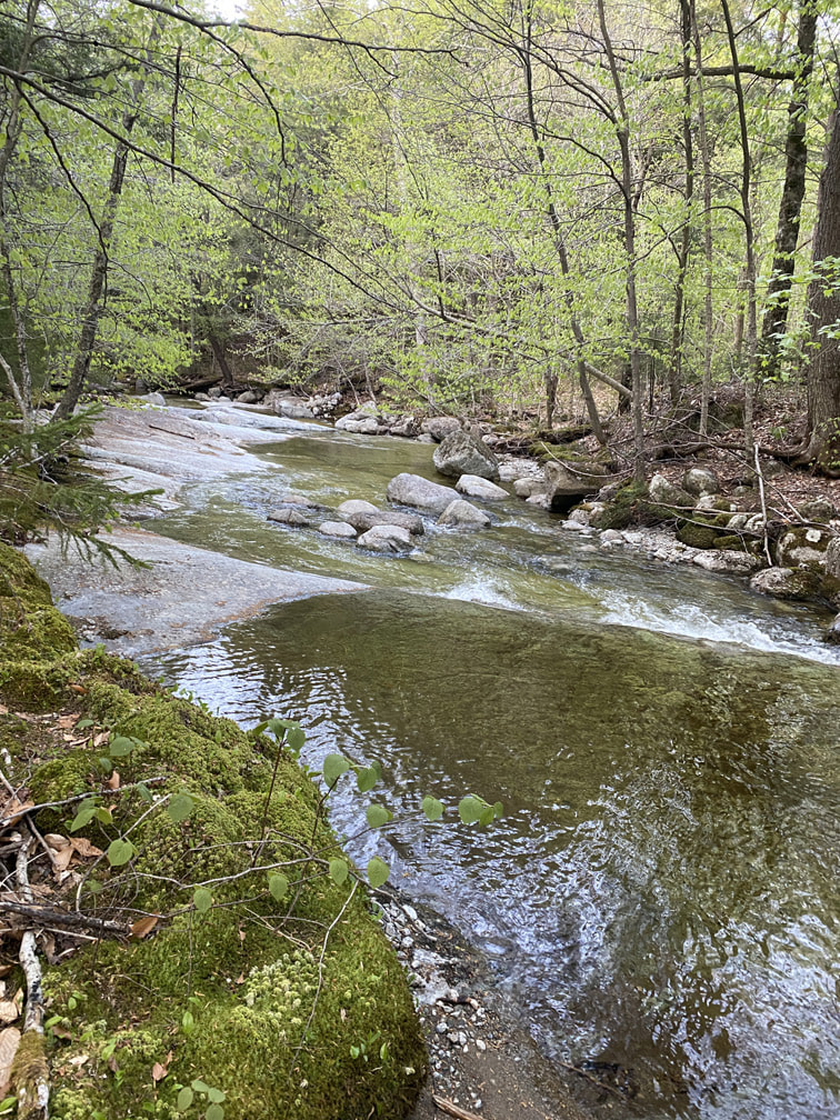
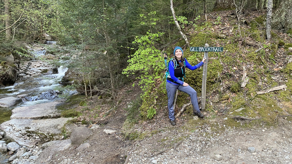
Instead of taking the first turnoff to Lake Road, we continued along the water on the Gill Brook Trail. It was SO BEAUTIFUL!
|
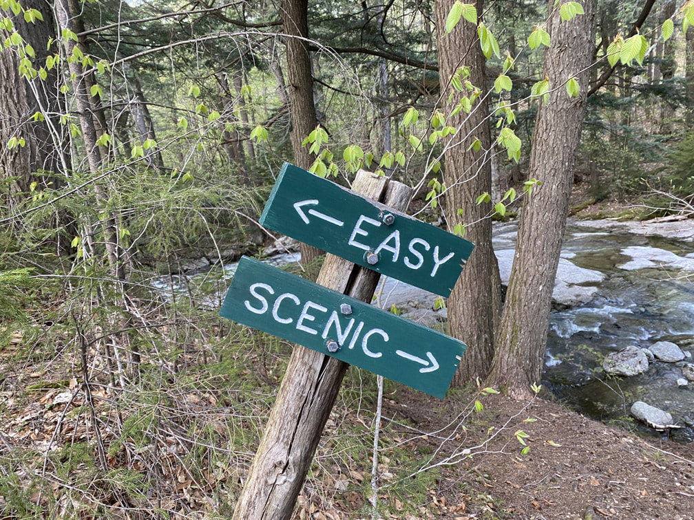
Soon we came to a sign that said "Easy or Scenic"? Ha ha... Isn't that a metaphor for life?! #AlwaysTakeTheScenicRoute |
|
Happy Mother's Day to me!
|
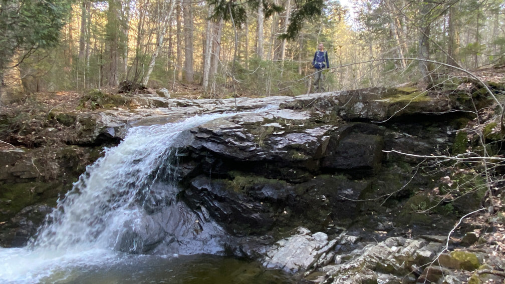
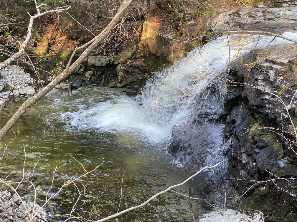
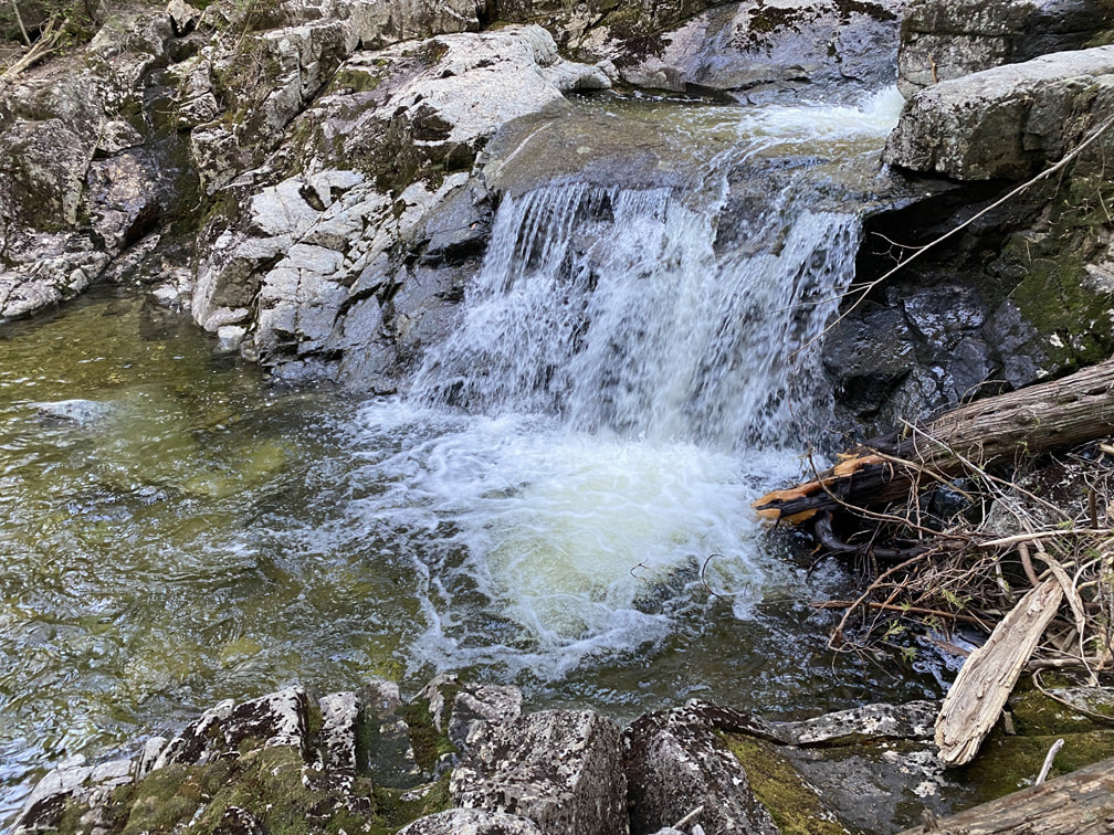
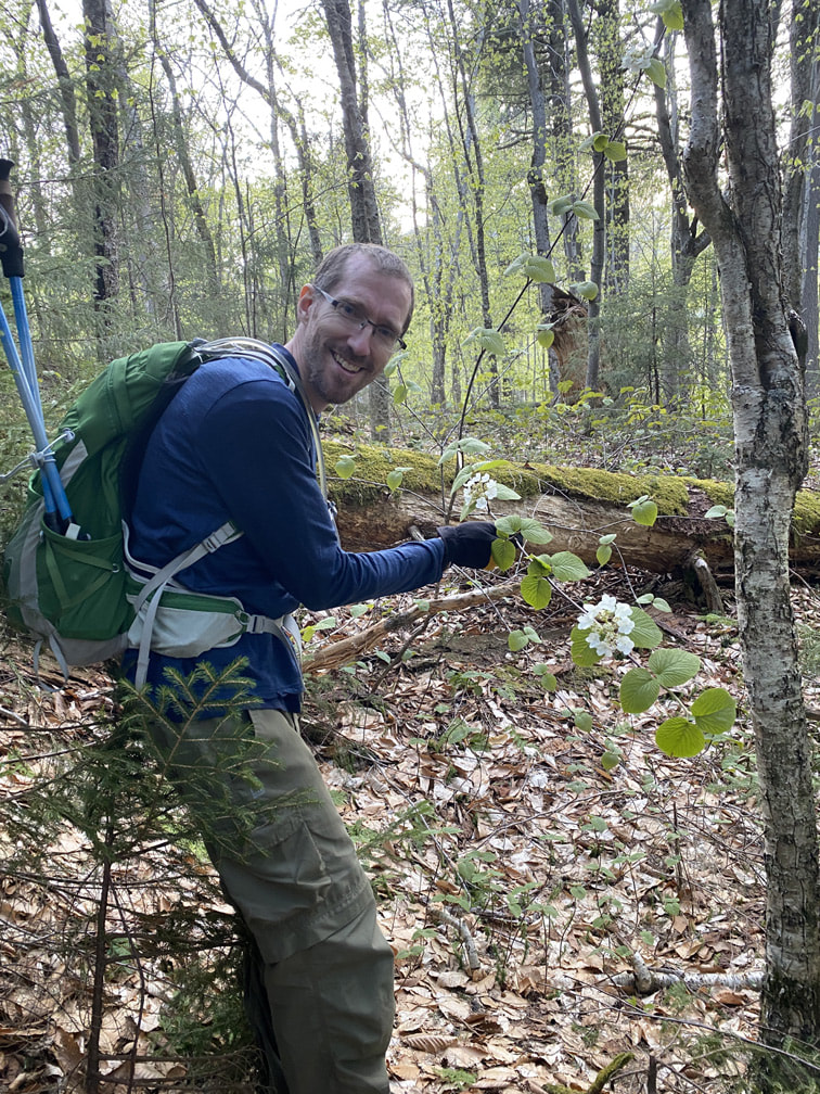
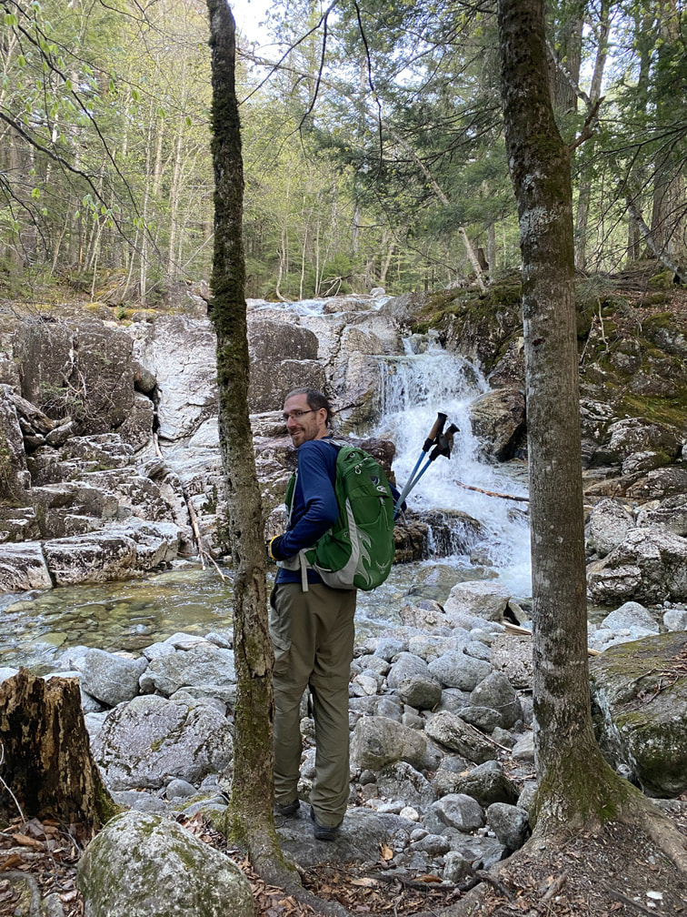
The Gill Brook Trail was just gorgeous. It felt like we passed a million different waterfalls! We definitely felt our tired feet, but our spirits were high. Niels even found me some flowers for Mother's Day on a tree... I'll take it! |
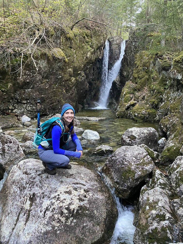
Waterfall along the Gill Brook Trail
|
|
|
|
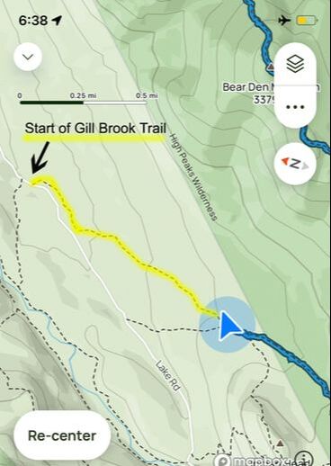
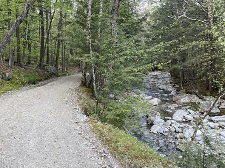
We met up with Lake Road at the "start" of the Gill Brook Trail. Below is a photo of the trail entrance if you ever want to take it from the Lake Road entrance. It's a nice little alternative route that isn't much longer (if any) than continuing along Lake Road a bit further and then taking the cutoff path.
Start of the Gill Brook trail from Lake Road
|
Alternative Gill Brook Trail Route
|
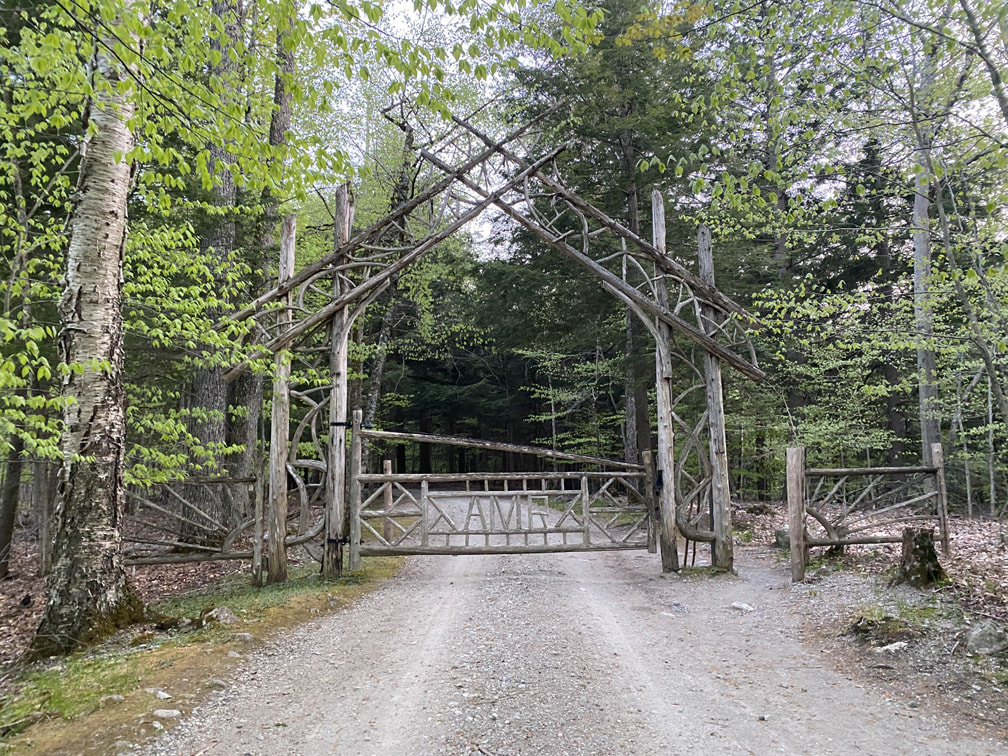
After a lovely walk along Lake Road, we finally passed the beautiful AMR gates and signed out of the register at 8pm. It took another 20 minutes to walk back to our car in the parking lot. What a beautiful hike on a truly beautiful day!
|
|
|
Total distance: 14 miles (including 1.74 miles of road from the parking lot to the AMR trailhead, roundtrip)
Total elevation gain: 4,058 ft
Total time: 13 hours (9.5 moving hours)
Total elevation gain: 4,058 ft
Total time: 13 hours (9.5 moving hours)
HTML Comment Box is loading comments...
