Mount Colden
Adirondack Hike: June 15, 2019
|
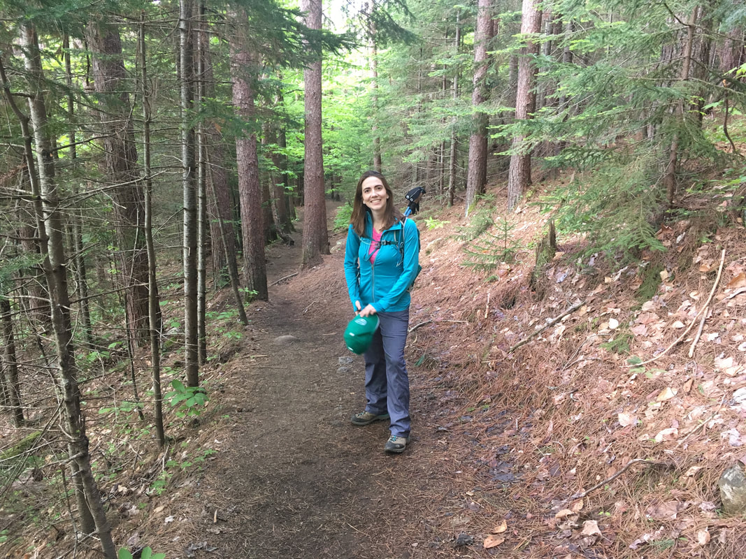
Awaking to a beautiful sunny morning, Niels and I drove to the ADK Loj excited for our hike that day: Mount Colden. We decided to hike the 'loop', which means first traversing through Avalanche Pass, then summiting Colden and finally descending via Lake Arnold. We knew this would be a long hike (approximately 13 miles, 21 kilometers), but we were only tackling one peak this time and a lot of it was fairly flat. "It'll be easy!" we said. "We'll make record time!" we said. Ha!
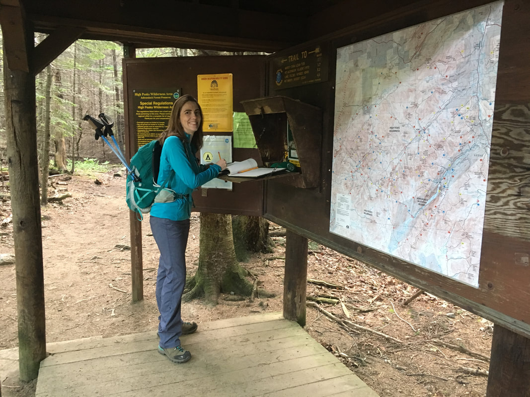
When we arrived at the ADK Loj parking lot, the vastly huge lot was already FULL! Can you hear me roar?! FYI - it had filled up at 7am on a Saturday in July. This meant we had to park in a small lower lot and walk an extra one mile to the trailhead, each way. Somehow we were already adding mileage to our 'easy' hike. We signed in at the register at 8:45am and were pleased to note that an ADK guide was there quizzing hikers on their plans that day ("Which route are you taking? How much water do you have?"). There have been a lot of search & rescues lately in the ADKs, so I appreciate the increased measures to ensure hikers are prepared for the mountains. He asked where we were hiking that day, and I joked we were going to attempt the Trap Dike barefoot. He quickly surveyed our hiking poles, water bladders and well worn hikers.... and then smiled us through without another question :-) |
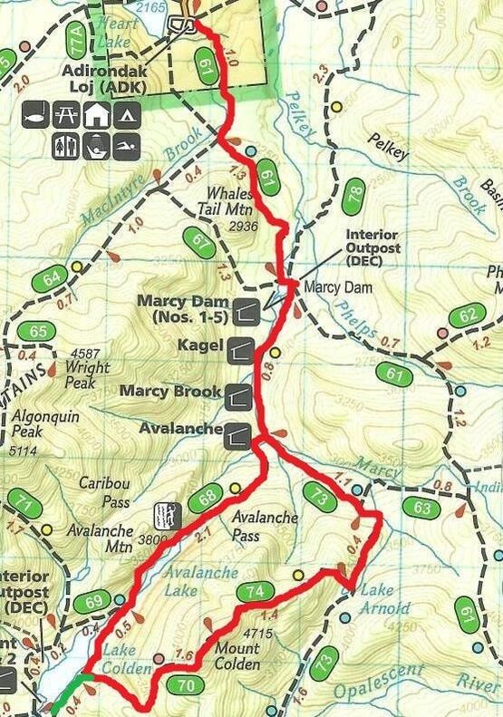
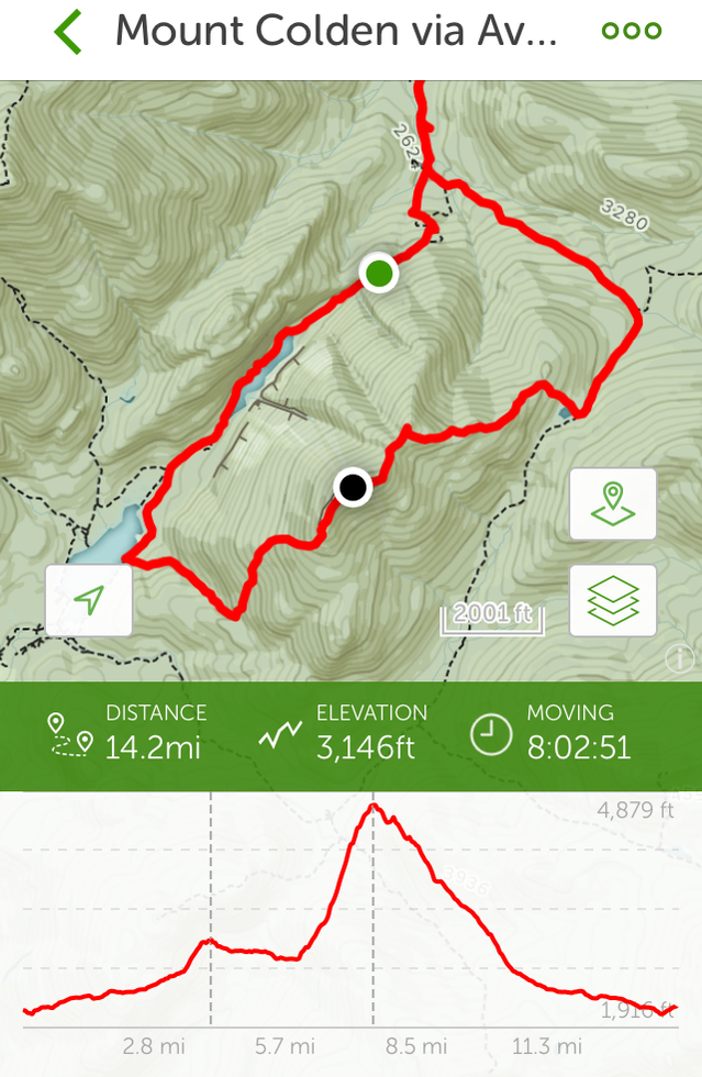
Our 'loop' trek
|
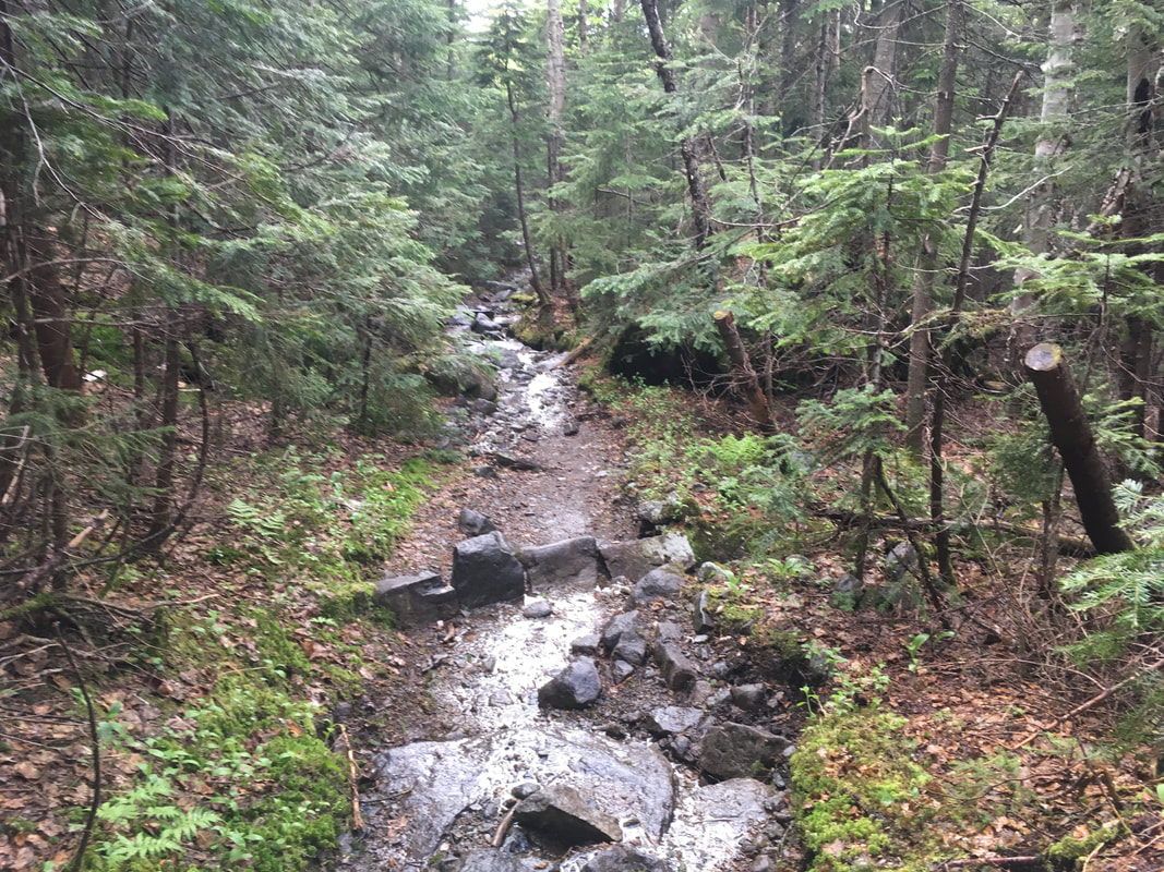
The first leg of our hike (ADK Loj to Marcy Dam) went quickly, partly because we've done it before and partly because the trails are so wonderfully flat. As we hiked, we thanked all the dedicated trail workers we saw along the way and covered the 2.3 miles to March Dam in one hour!
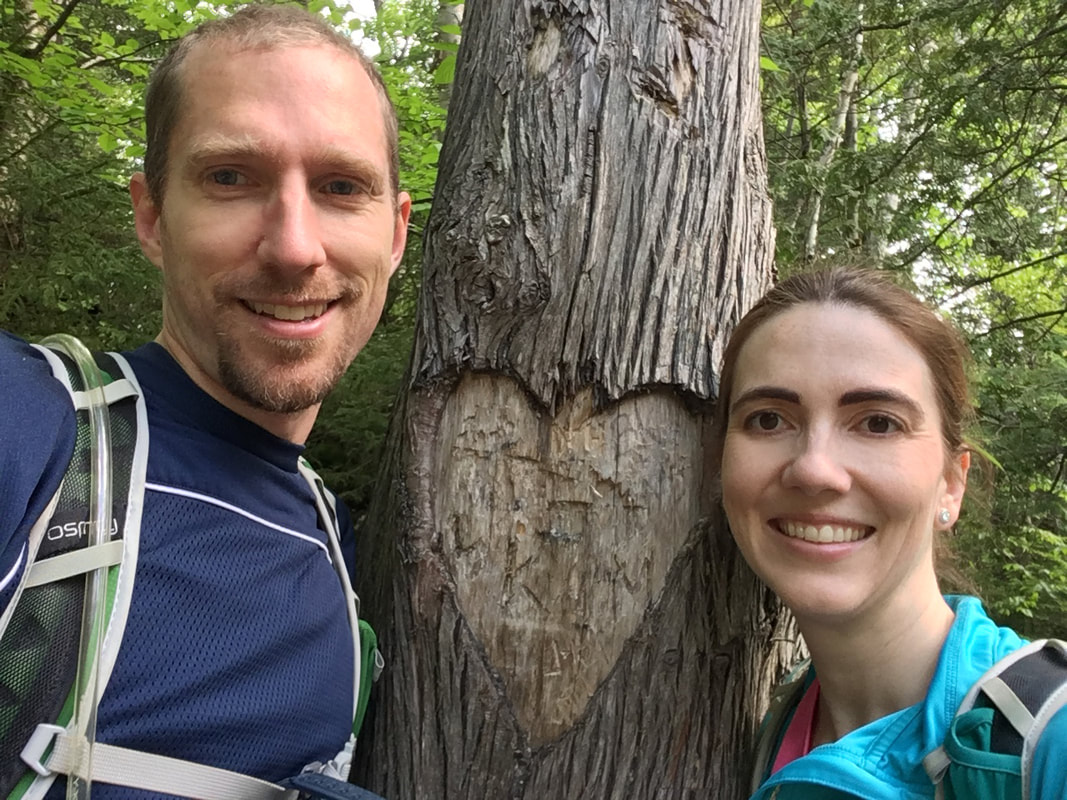
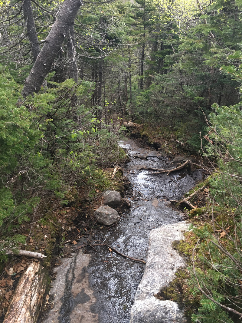
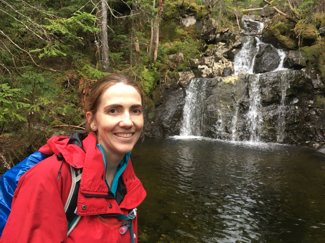
We always stop to admire the streams or waterfalls along the way... there's just something about the sound of rushing water in a forest that is so peaceful. We even found a 'heart tree' and managed a selfie.
|
|
I'm still always surprised to arrive at Marcy Dam and realise once again that the old dam is gone. I fondly remember Marcy Dam and the pond it maintained in its full glory (below - left), but after Hurricane Irene hit in 2011, it damaged the dam so badly that it no longer held the water in Marcy Dam Pond. The old dam was removed and a new bridge built downstream... but I still get a bit of sadness when I see the dried up pond now (below - middle).
The old dam with a full pond!
|
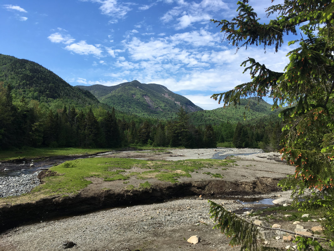
The view since Marcy Dam was destroyed
|
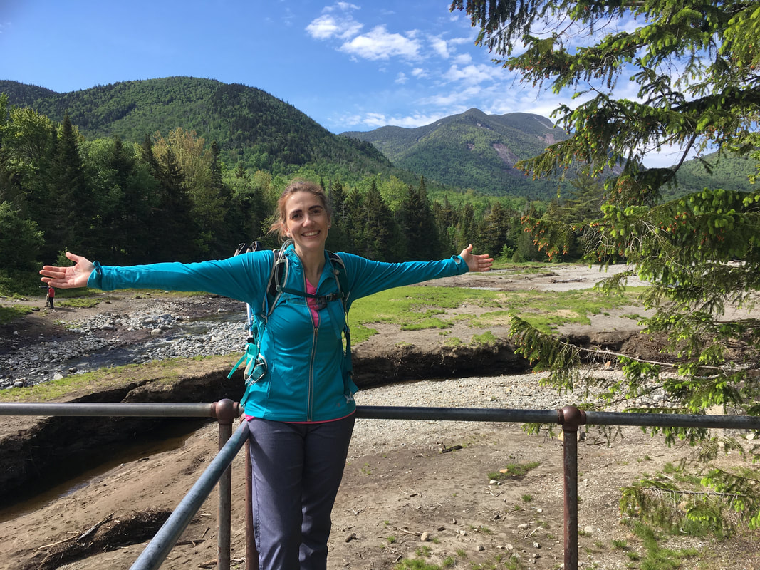
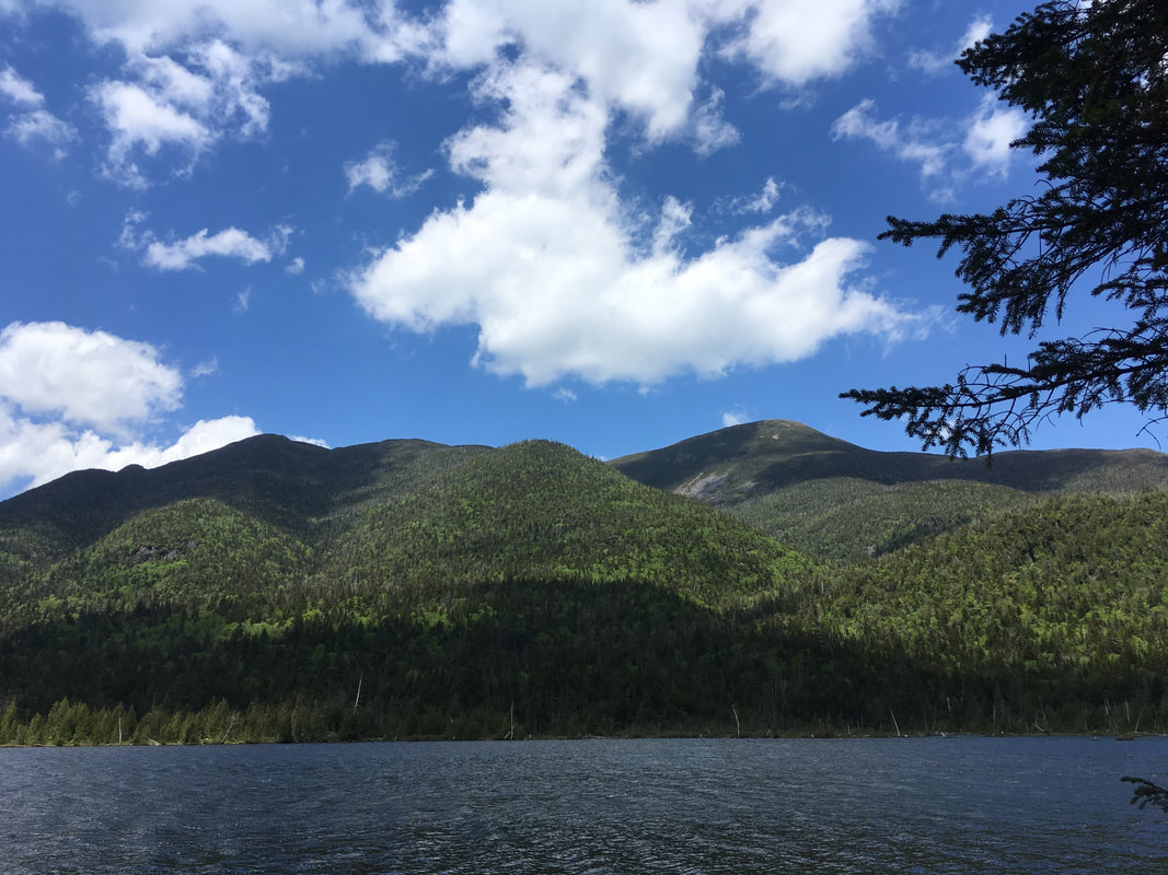
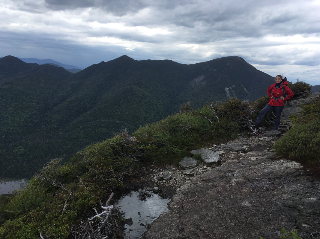
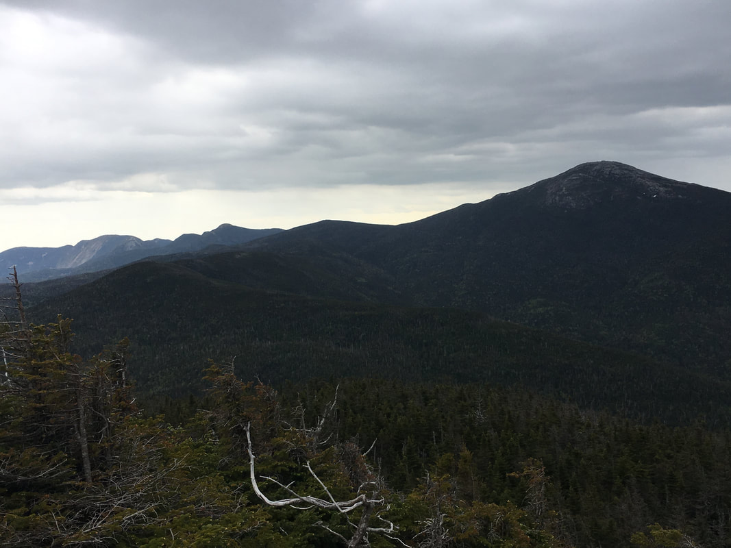
You can see Mt Colden in the distance!
|
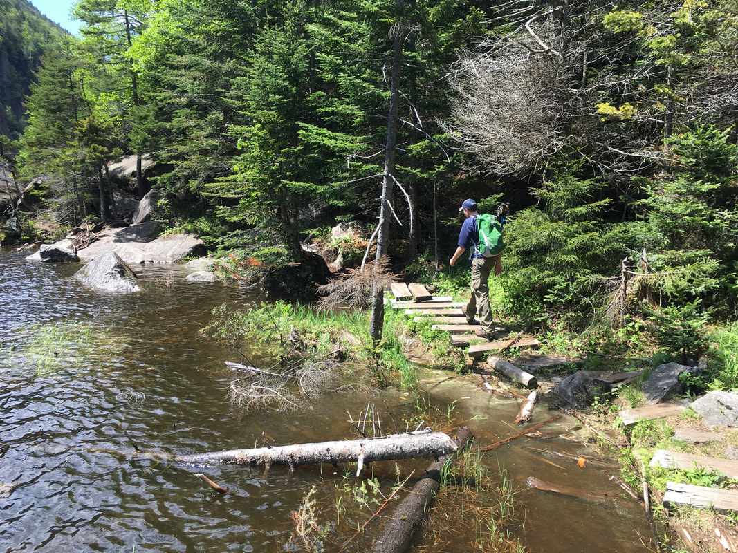
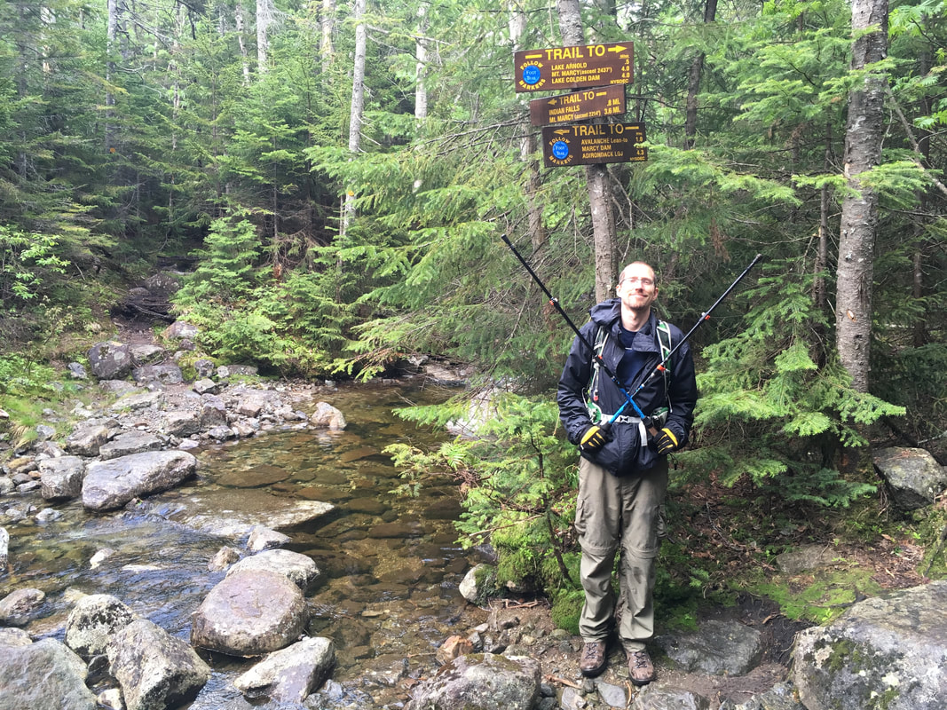
In the middle photo above, you can see the peak of Mount Colden in the distance - our destination! Our next leg involved hiking from Marcy Dam to the Avalanche Lean-to, a fairly easy 0.8 mile route.
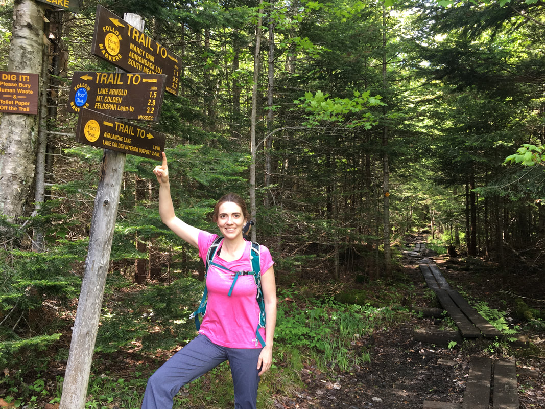
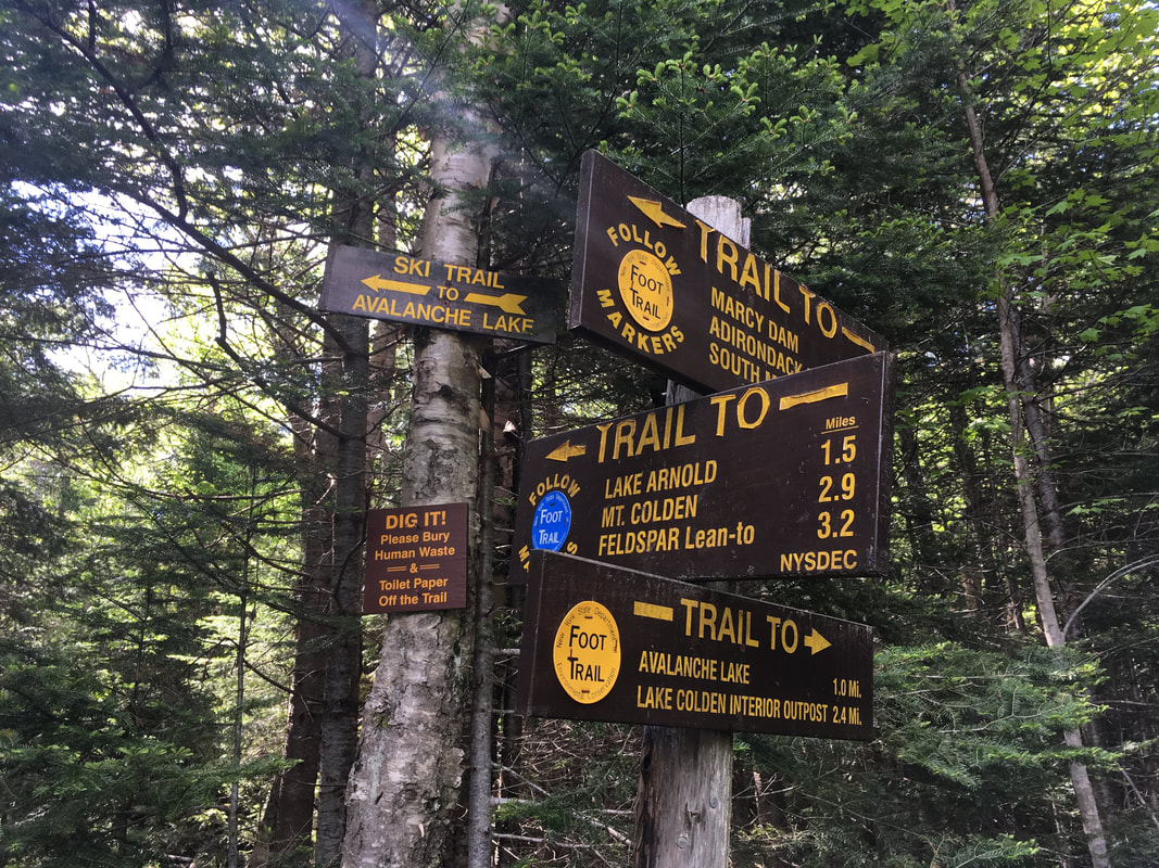
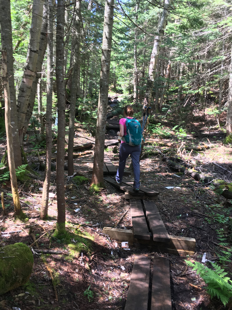
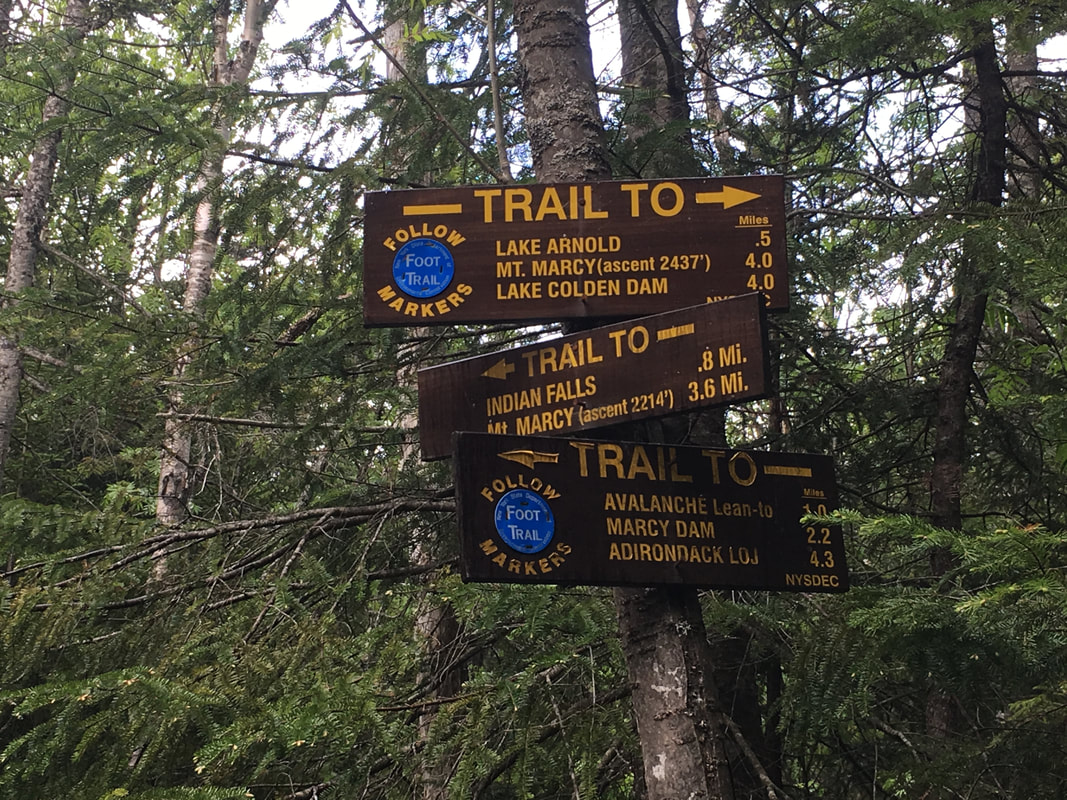
As you can see from the photos above, this trail is WELL signposted. We made sure to check out the camping and lean-to sites in case we ever need to camp here in the future, and made it to the Avalanche Lean to intersection quickly. From this point, our 'loop' begins - meaning, we'd be back at this very spot later today after ascending and descending Colden.
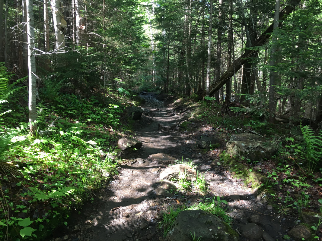
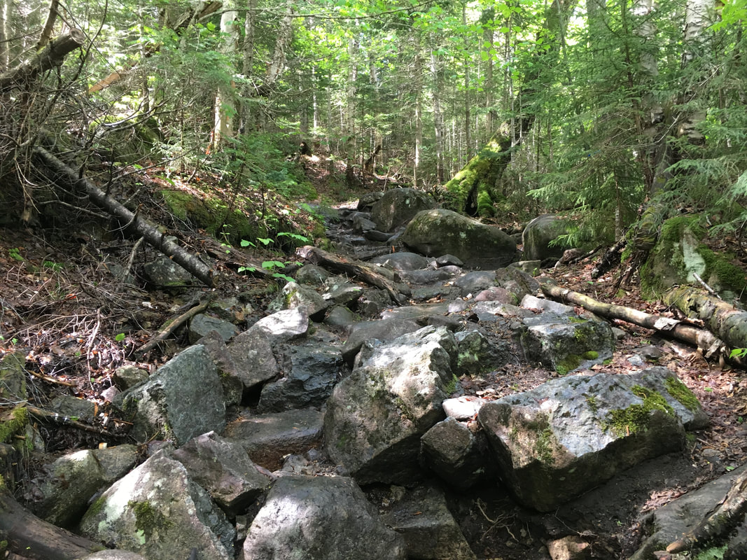
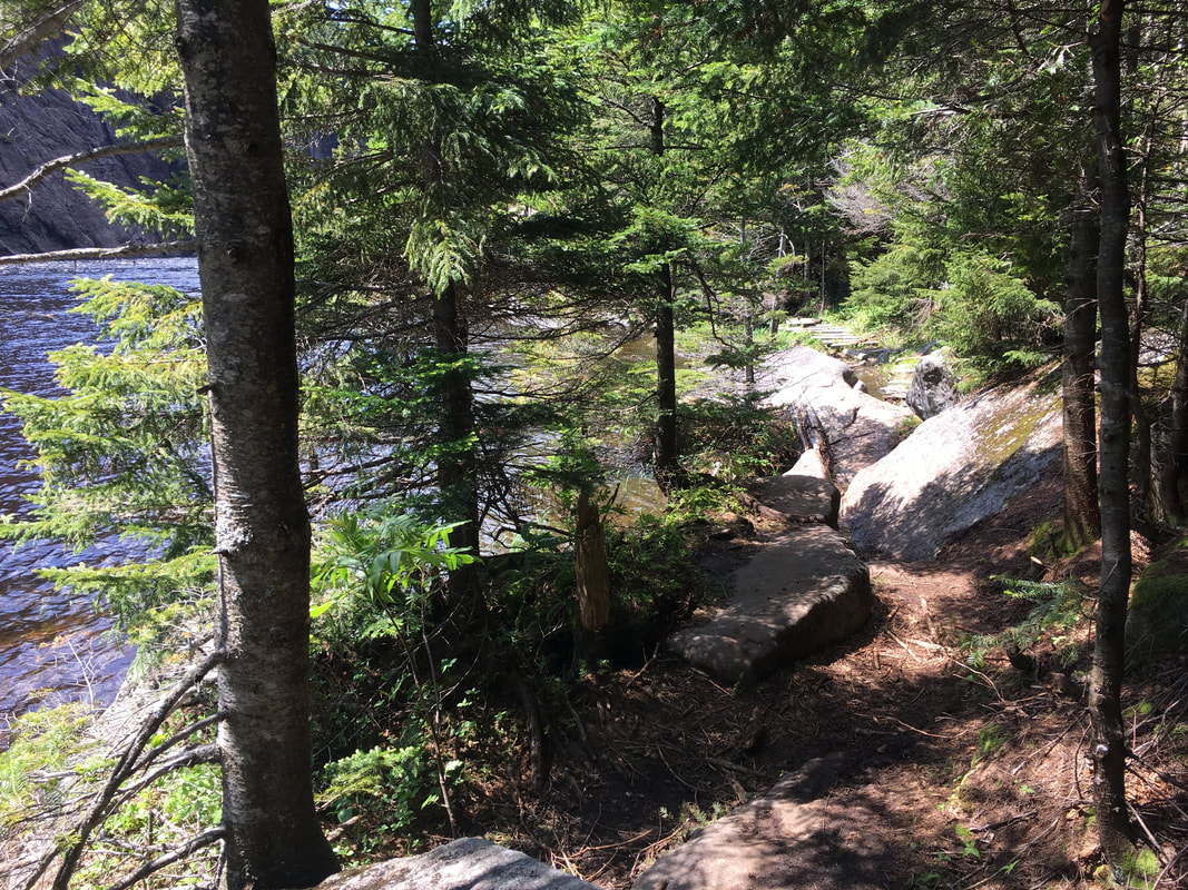
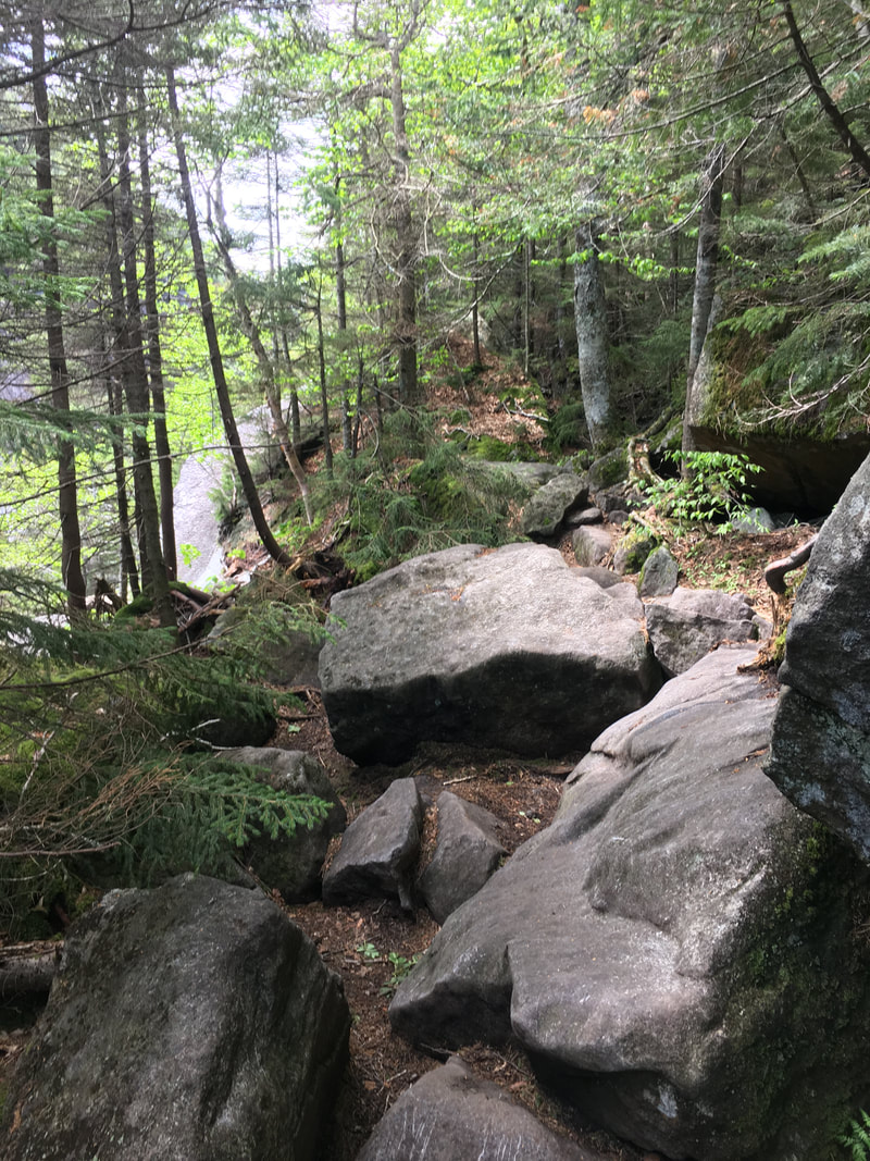
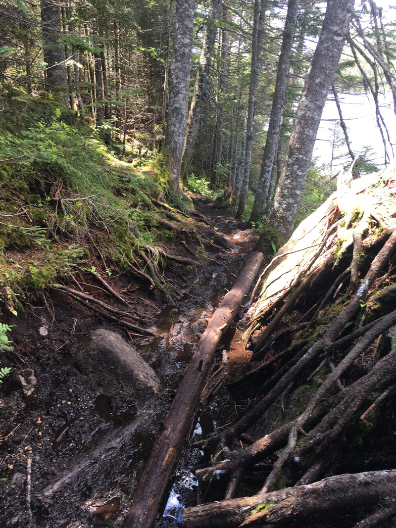
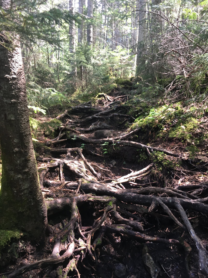
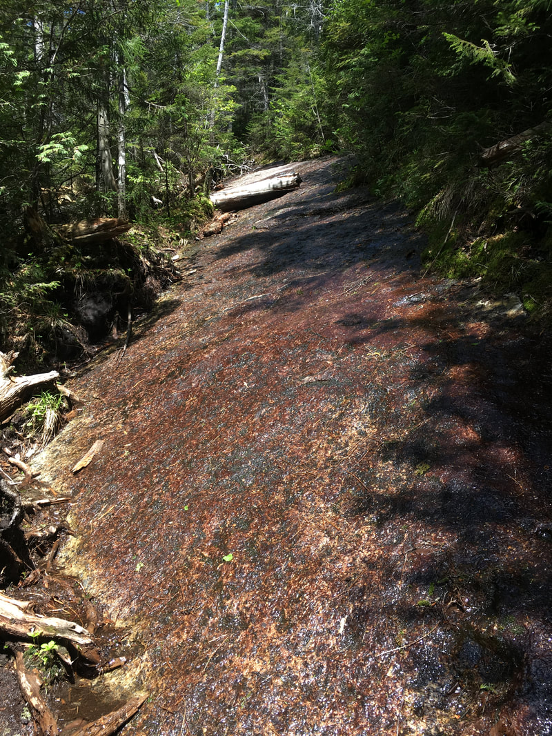
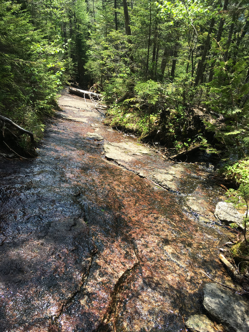
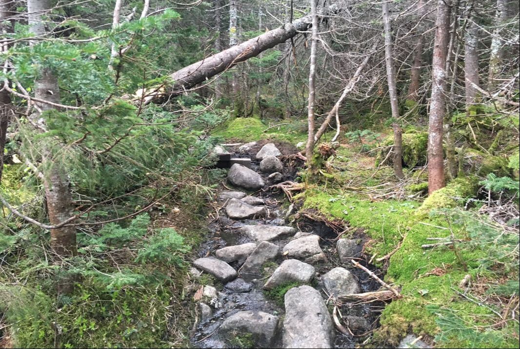
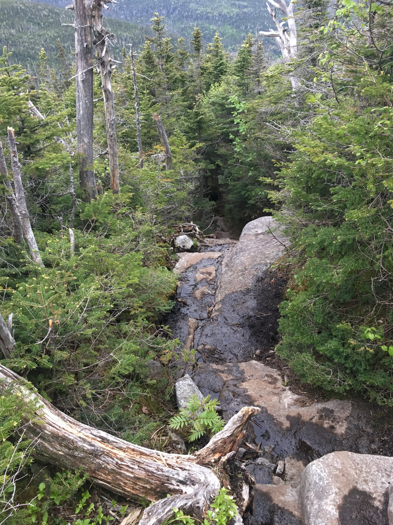
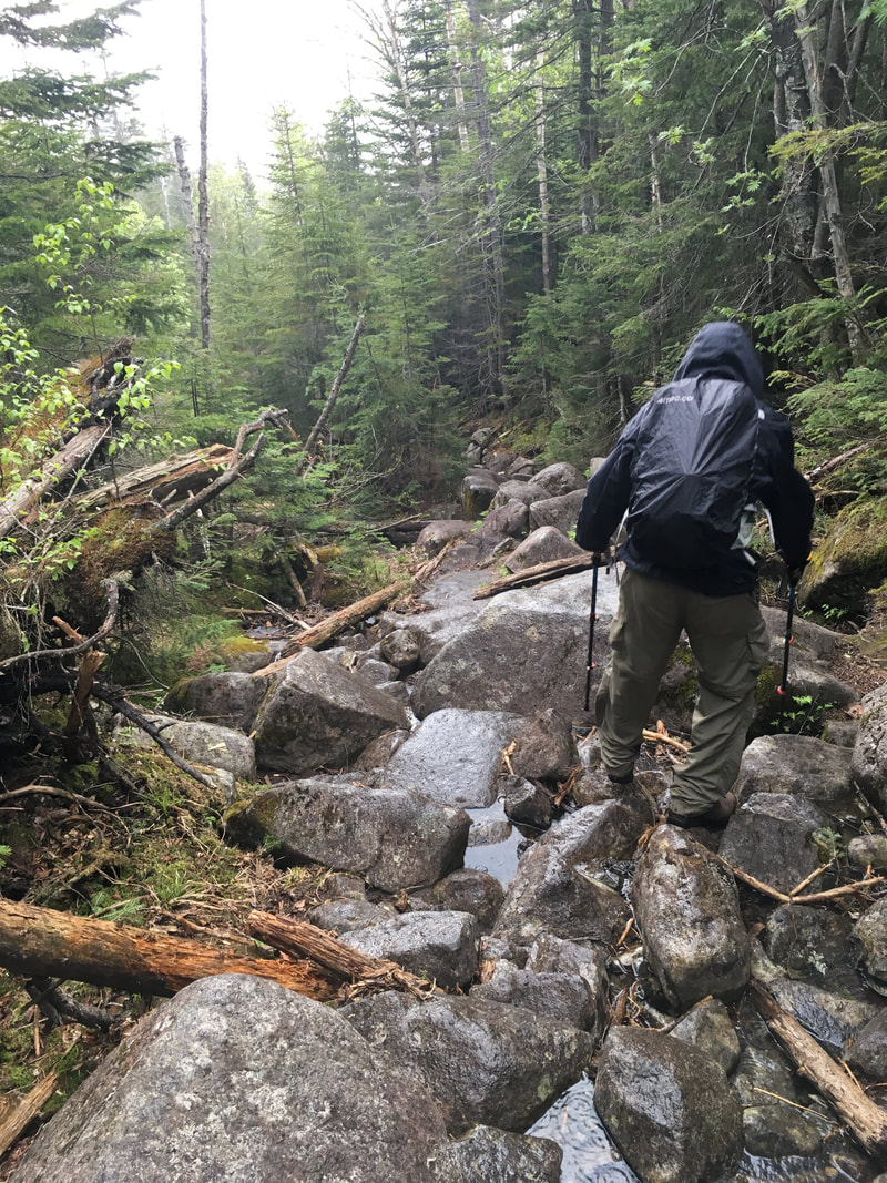
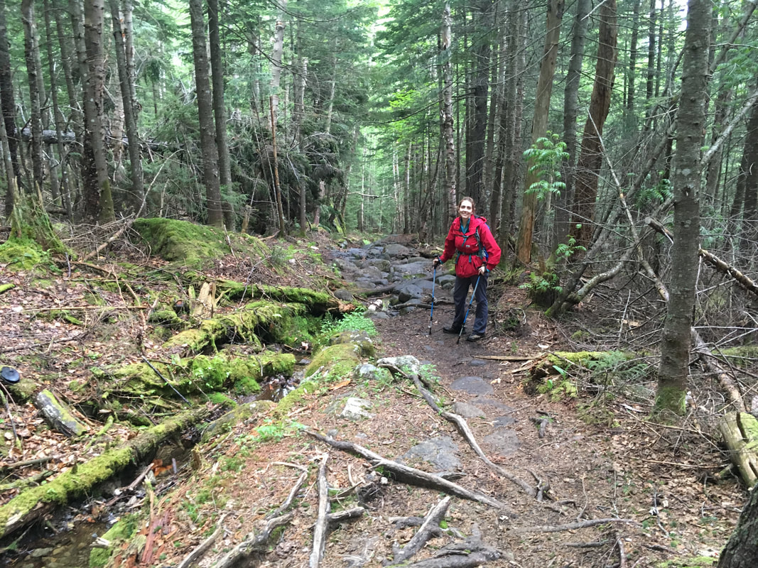
From here, the trail to Avalanche Lake began to get more rocky, but it still wasn't bad. We knew this was the section we needed to 'save time' on because we'd heard horrible stories about the slog up Colden still to come...
From here, the trail to Avalanche Lake began to get more rocky, but it still wasn't bad. We knew this was the section we needed to 'save time' on because we'd heard horrible stories about the slog up Colden still to come...
|
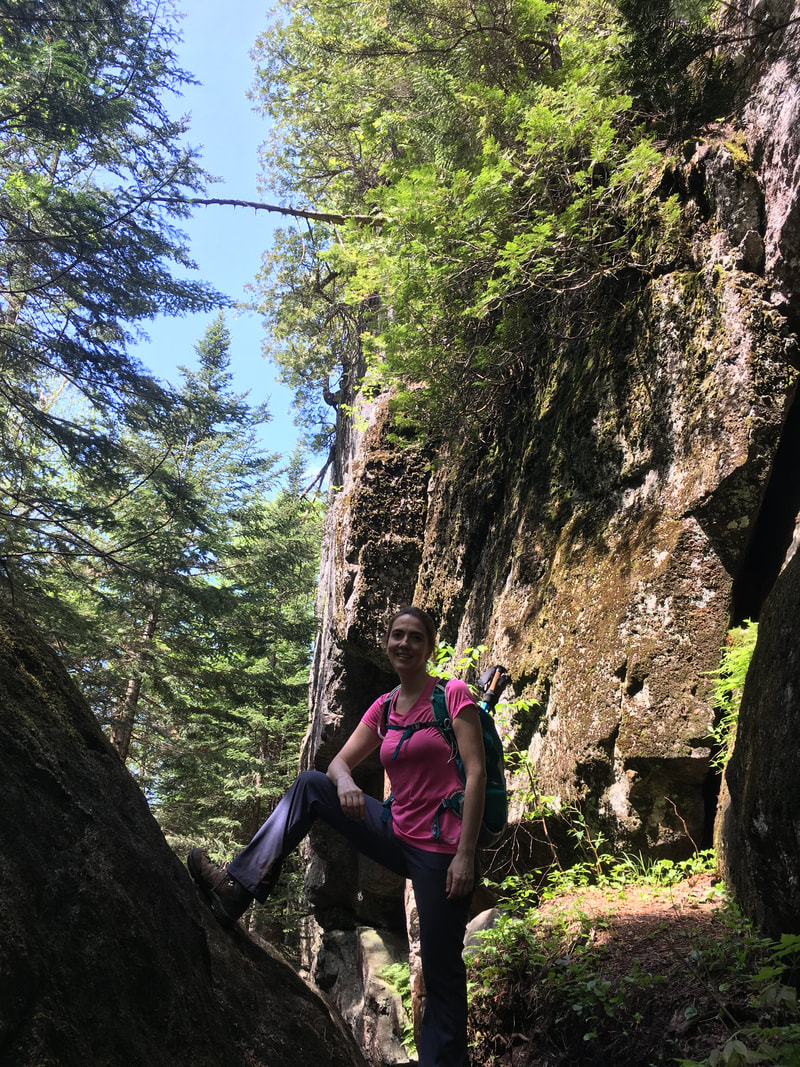
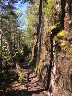
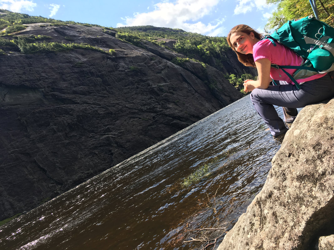
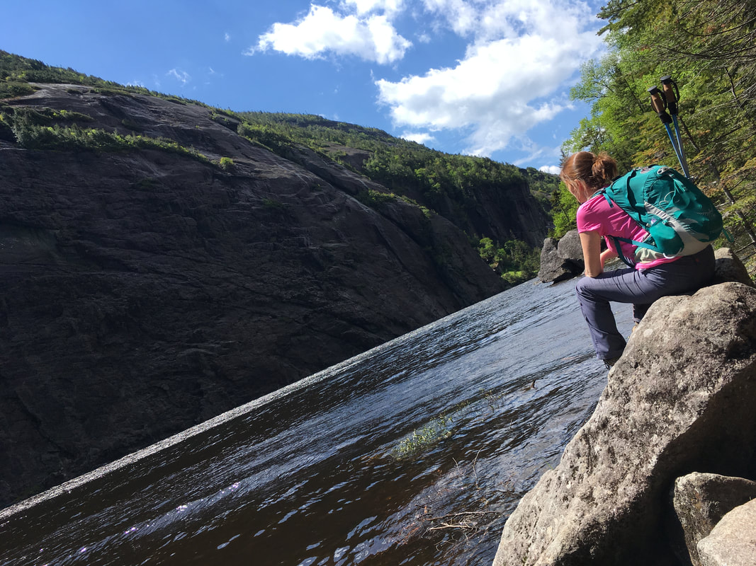
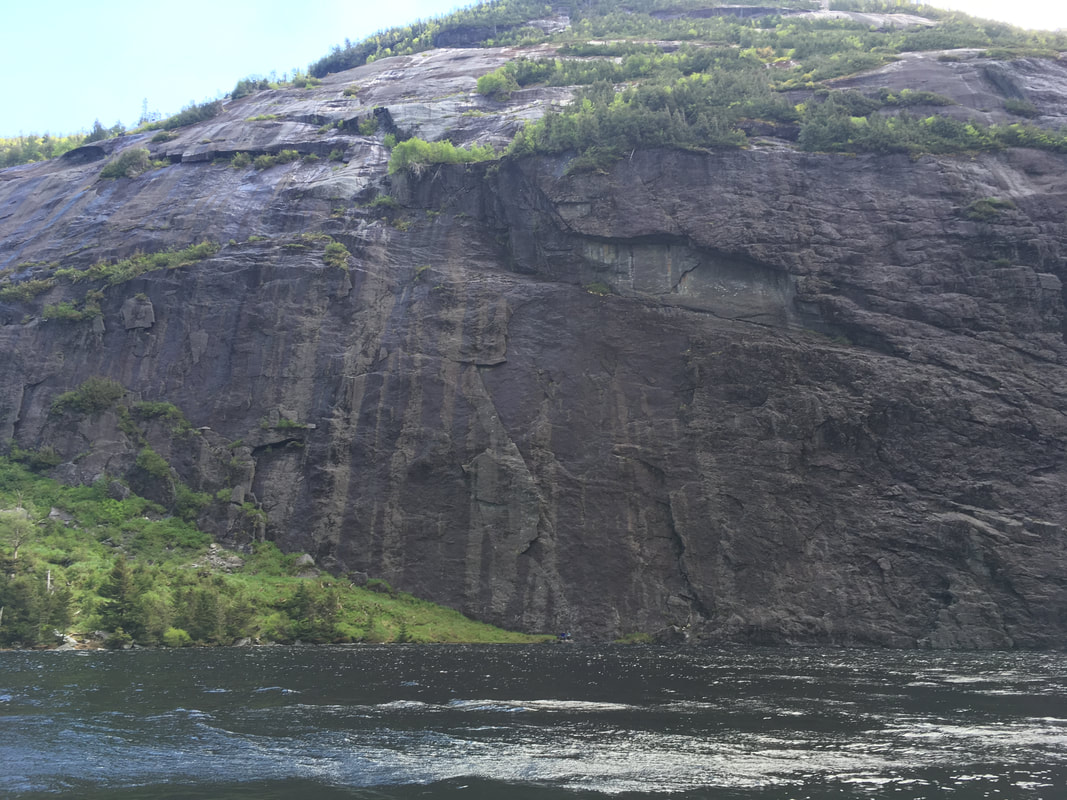
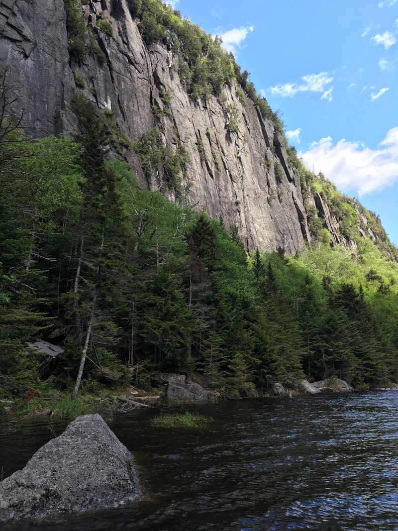
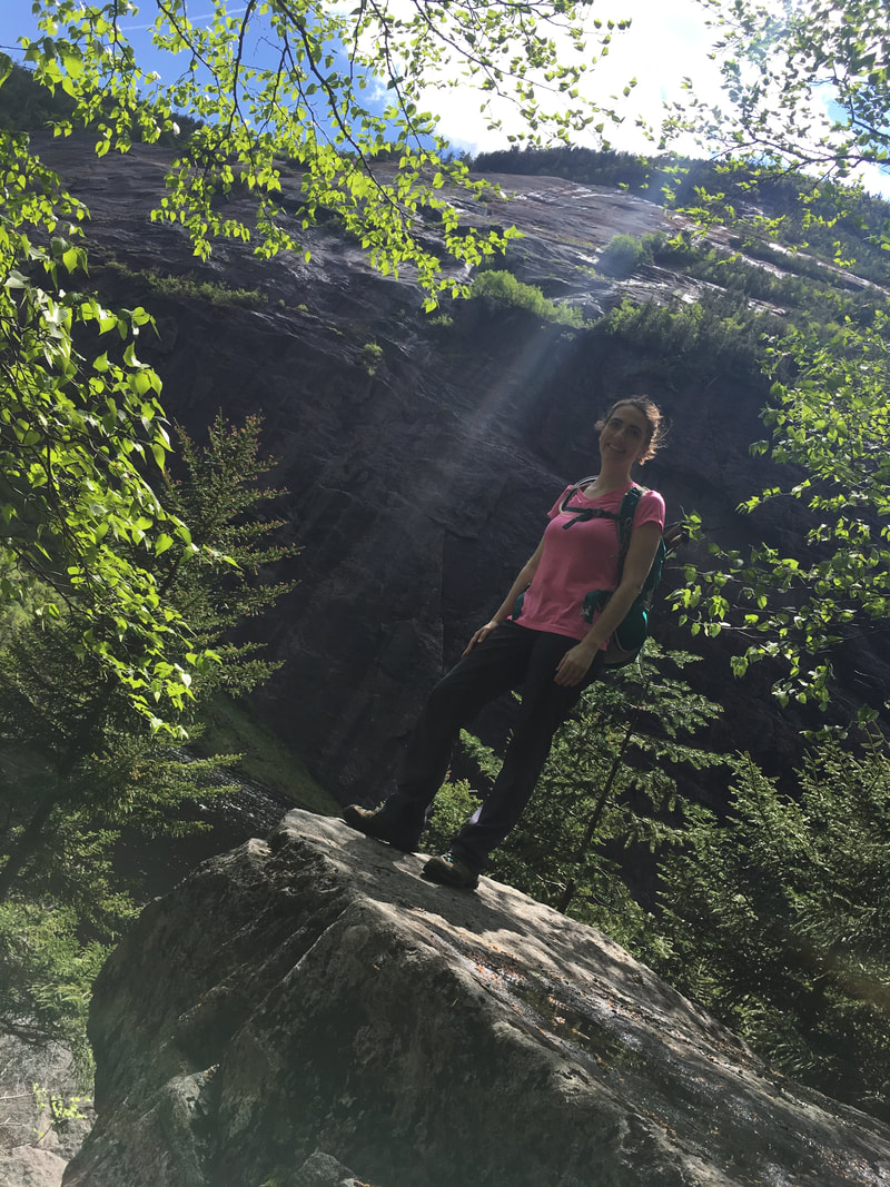
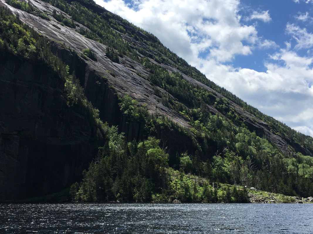
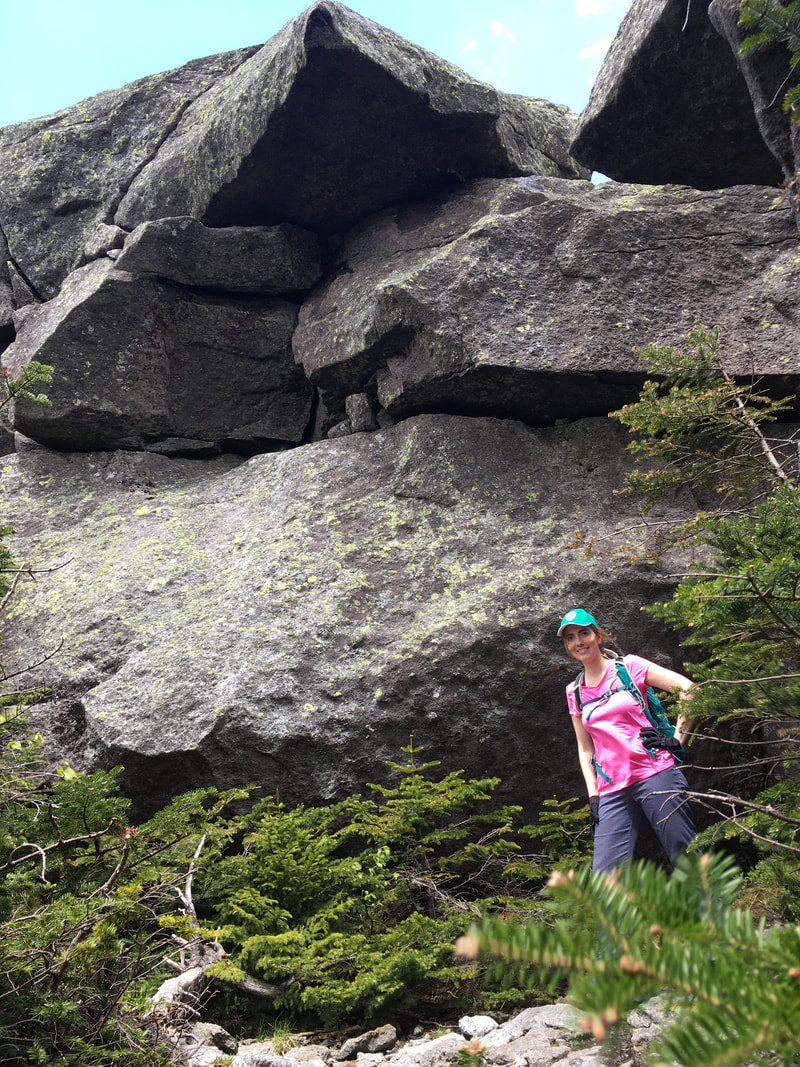
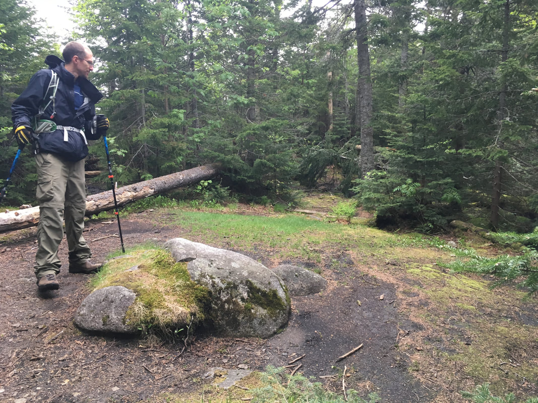
Just before we approached Avalanche Lake, we came to a huge rock wall that was simply beautiful. Niels and I love the rugged beauty of this part of Canada. This is our playground!
|
|
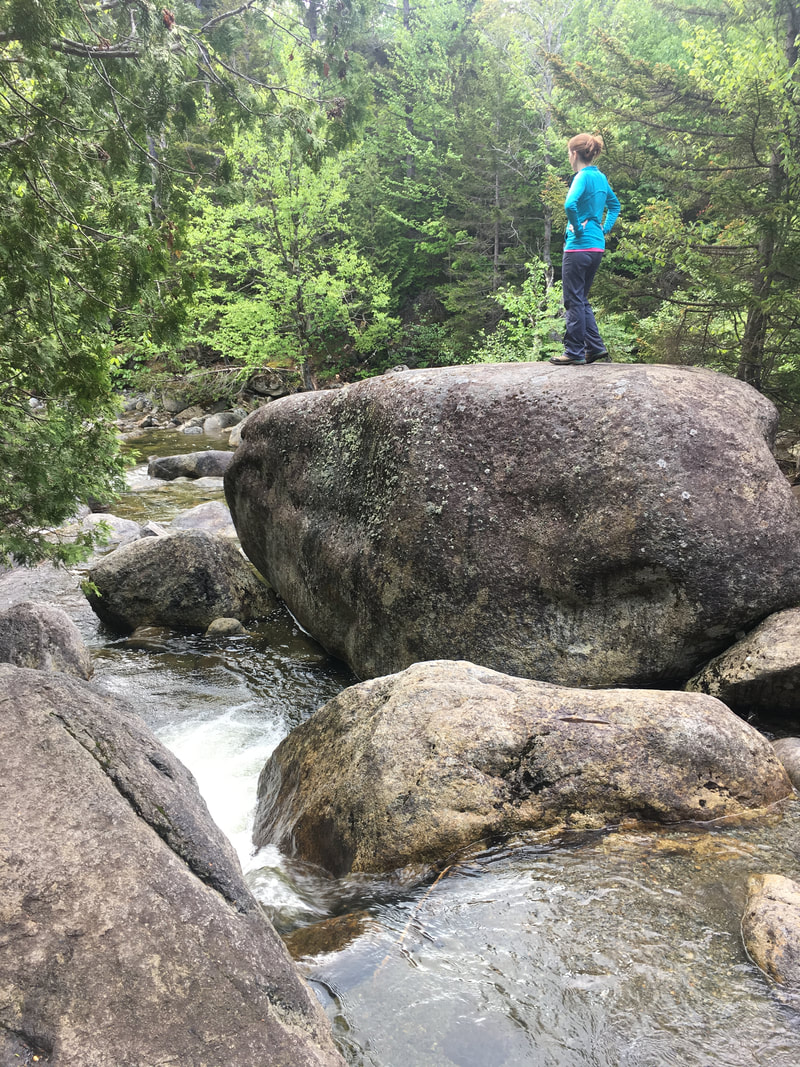
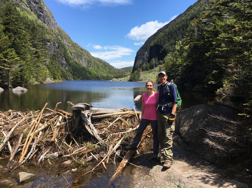
After about a mile, we arrived at Avalanche Lake at 11am. We've been saving this hike for a clear, lovely day as we'd heard lots about the beauty of this oasis in the Adirondacks. We spent some time at this end of the lake and then began our trek around the western edge of it.
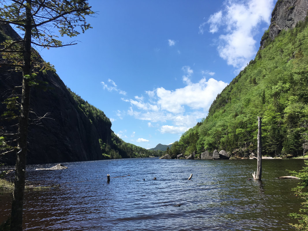
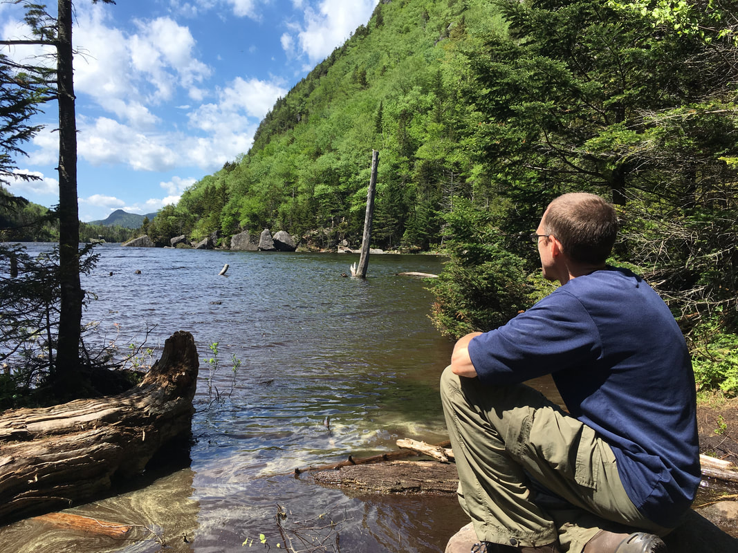
This is probably where our hike times begin to diminish... we just can't help but stop and admire the stunning scenery around us! On one side, the rock walls of Mt Colden loom above and on the other side the walls of Avalanche Mountain rise close to the trail. What a perfect spot for lunch! Watch this video to check it out.
|
|
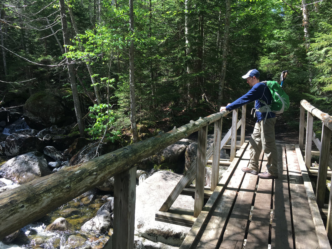
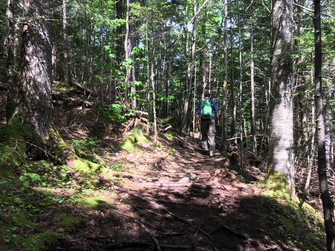
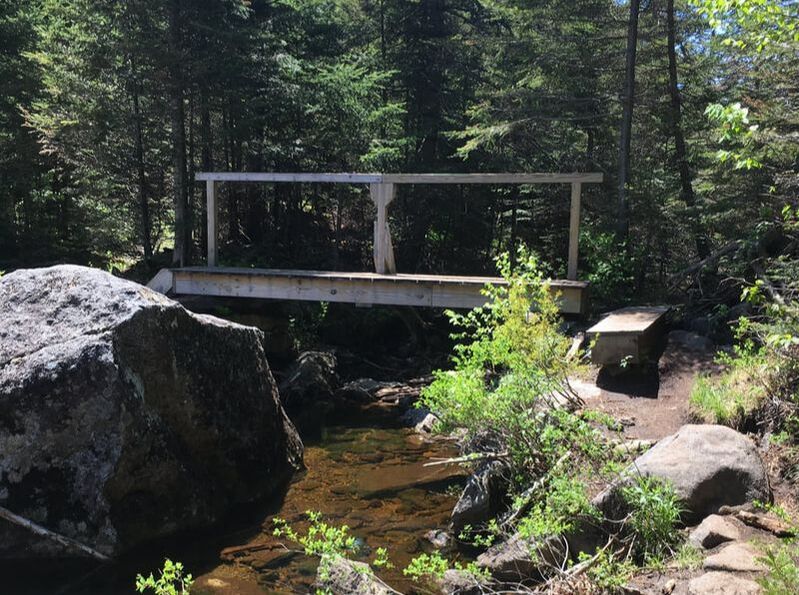
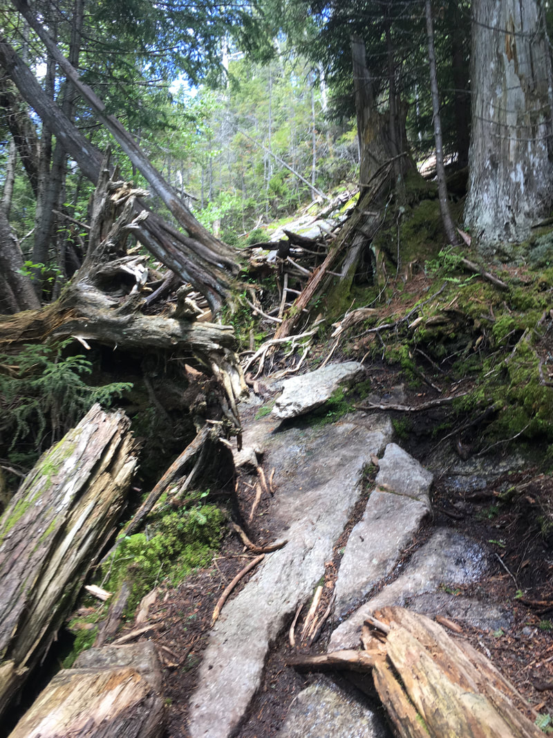
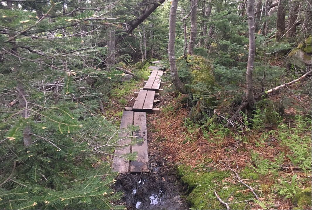
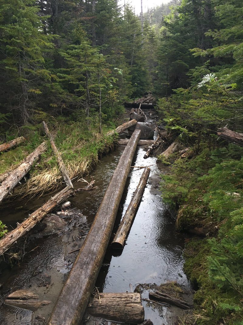
The path through Avalanche Pass was fairly easy for most of the way, with some rocky sections. In many parts where the trail fell away, there were beautifully built footbridges to help us. It was amazing to gaze on the other side of the lake at the rock walls of Mount Colden.
We couldn't have asked for a more beautiful morning to hike! The sun rays beat down on us and there were no bugs :-) The middle photo below is looking back at the trail we just hiked, with Avalanche Mountain looming overhead.
|
|
|
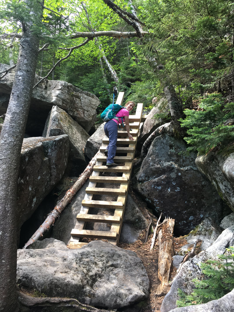
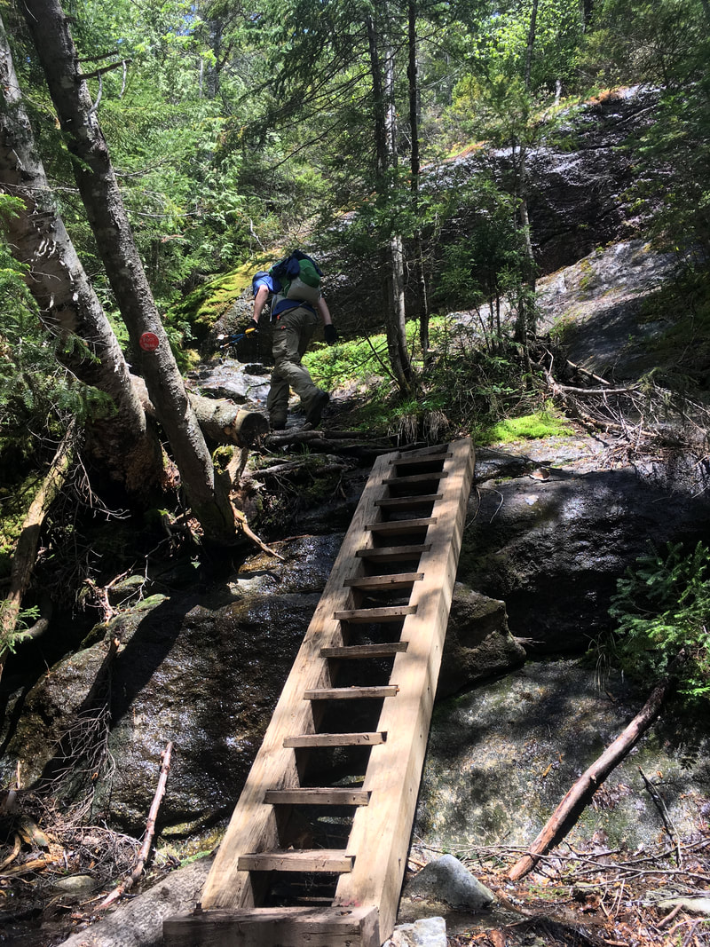
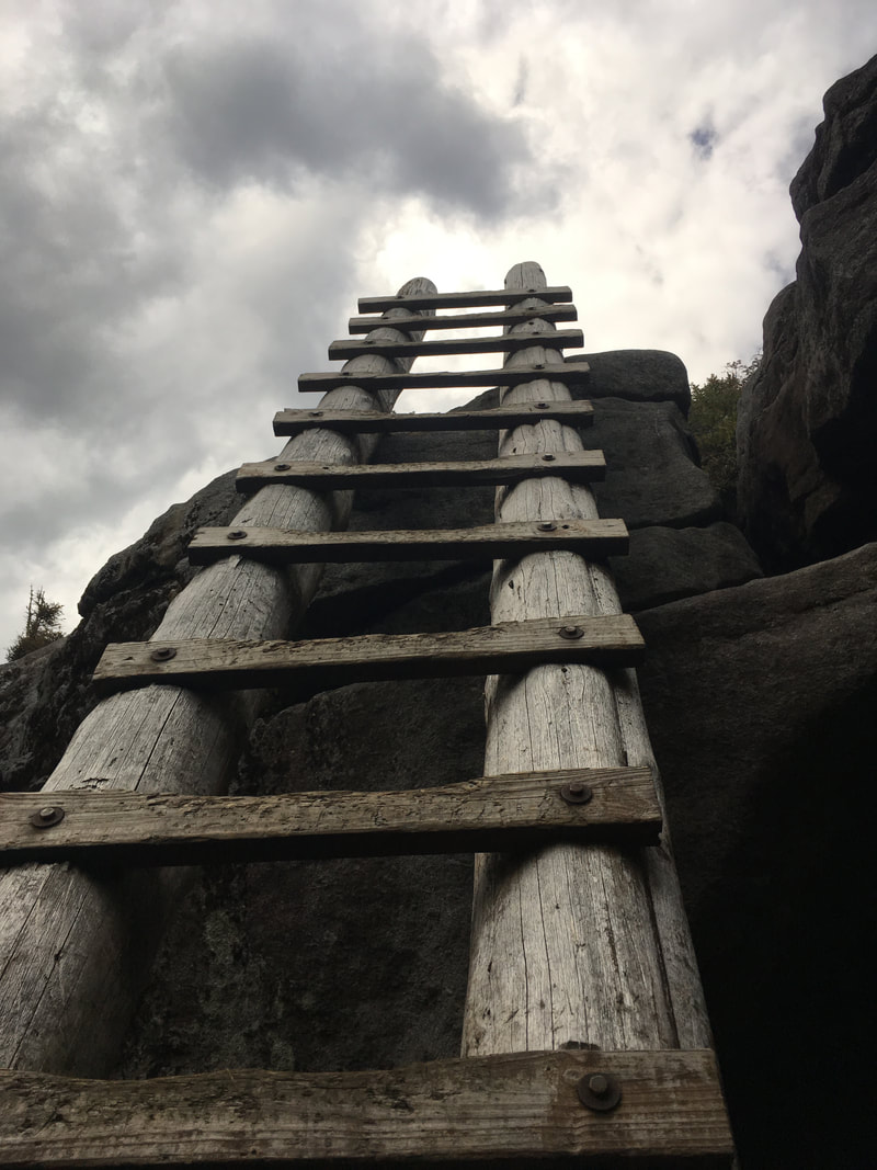
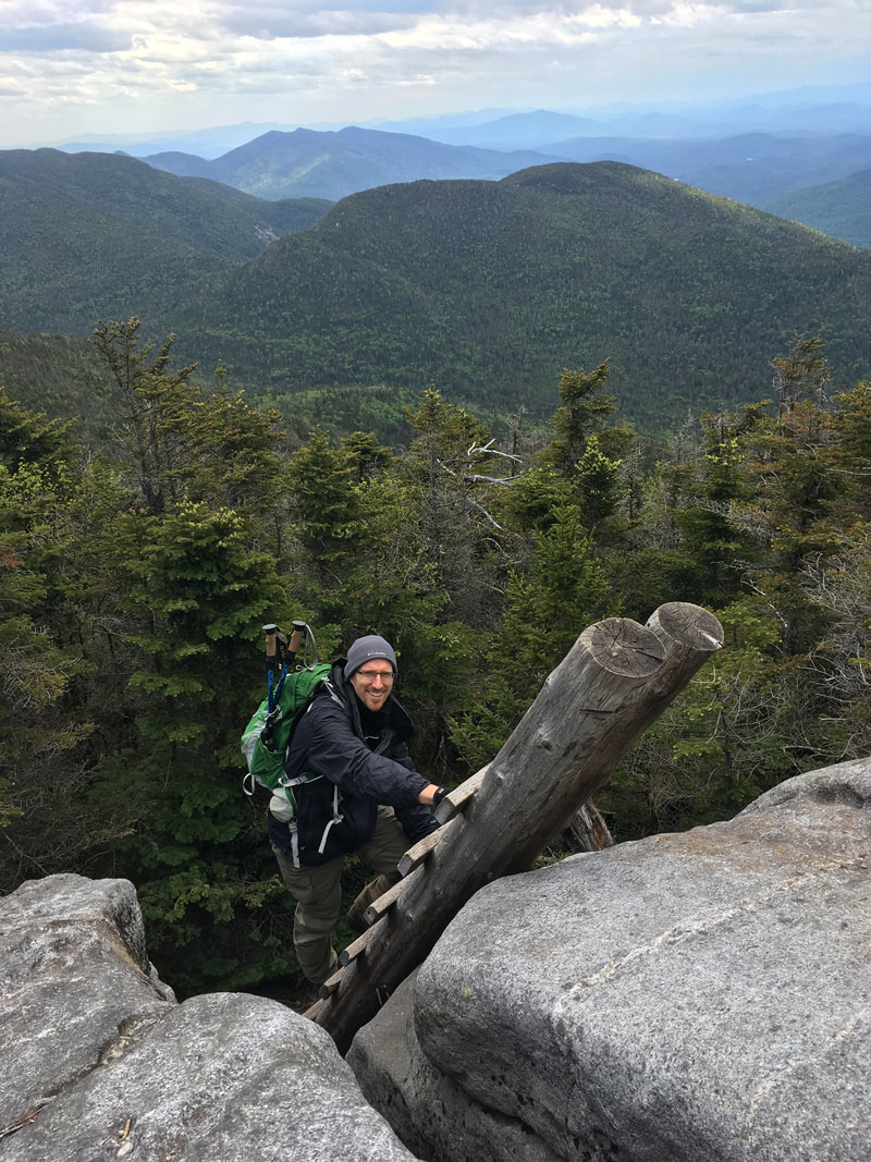
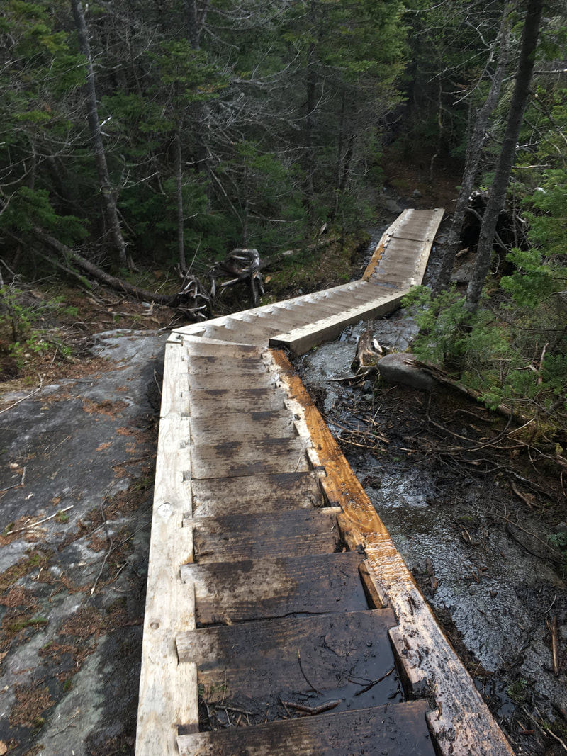
In parts, the trail through Avalanche Pass was pretty rocky, but luckily there were beautiful (and new!) ladders to help us. This was a true luxury, as we have scrambled over many similar rocks in the ADKs that didn't have such nice sturdy ladders to help us.
|
|
|
|
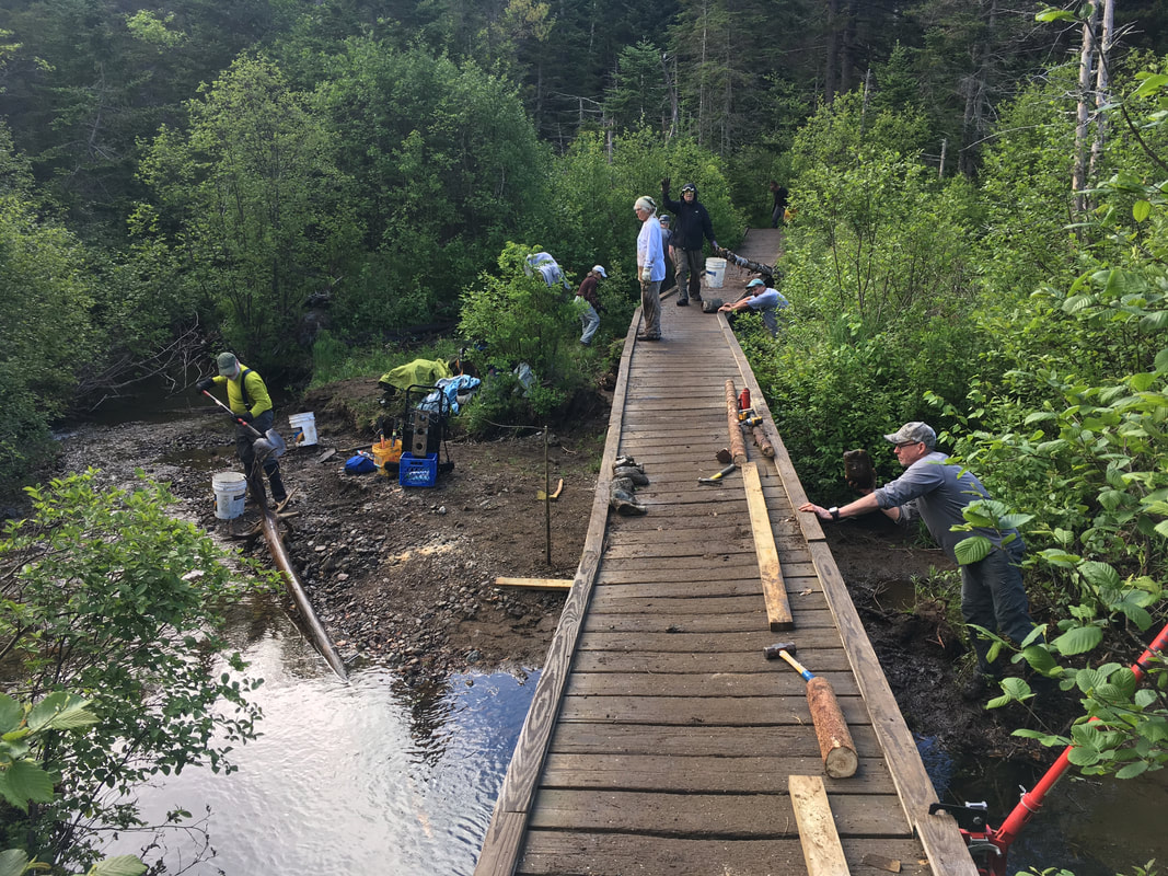
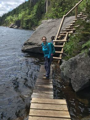
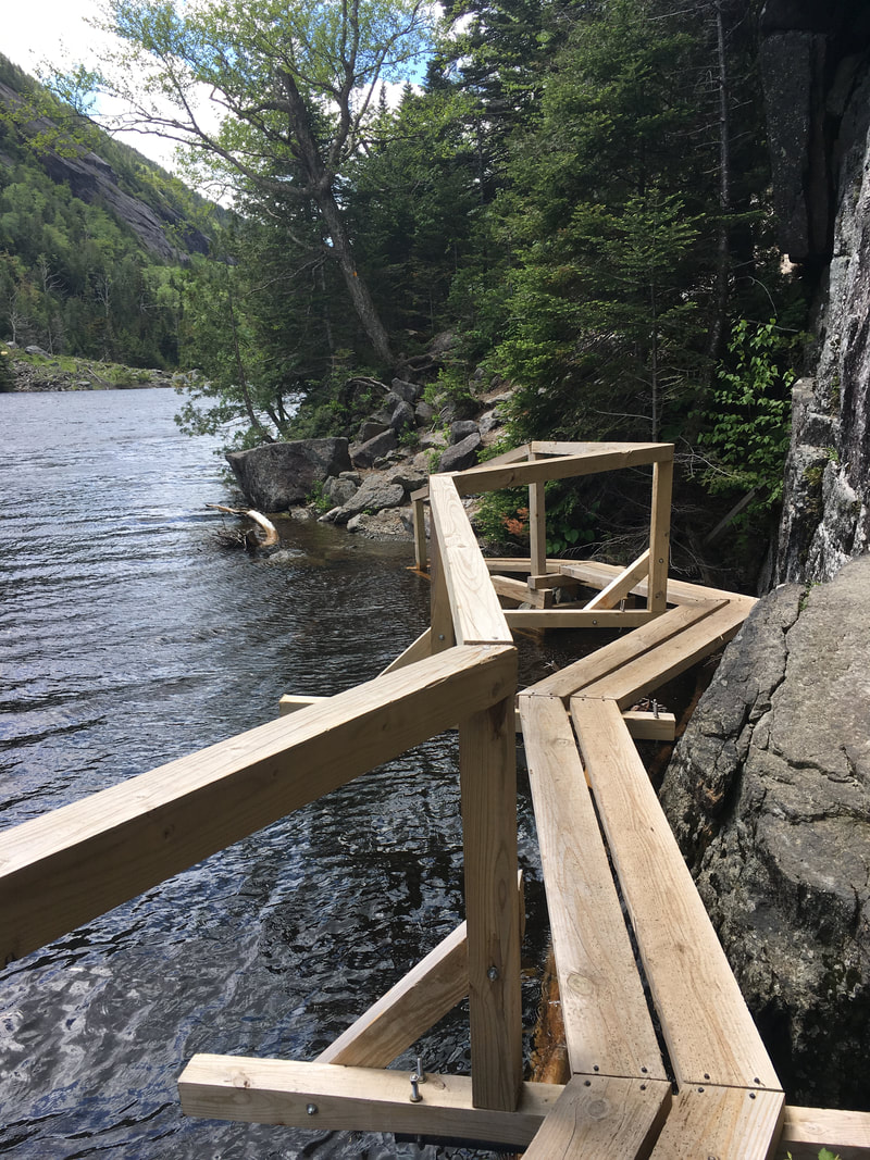
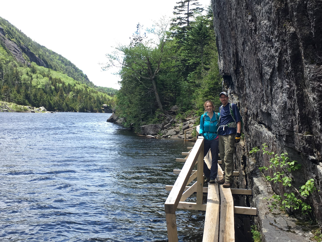
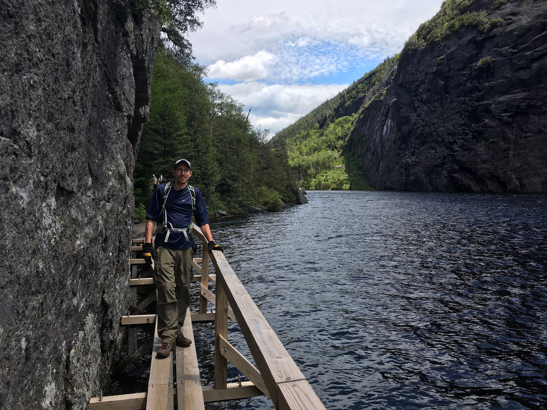
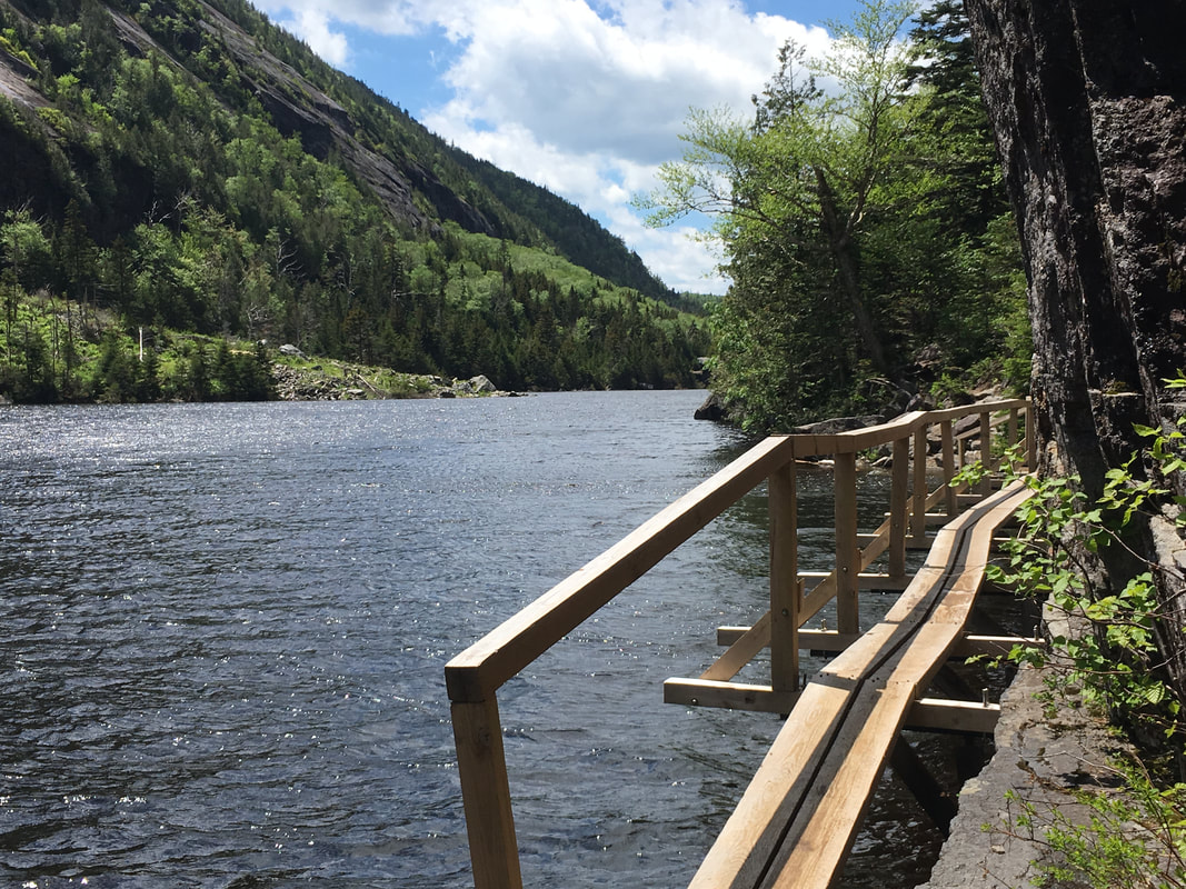
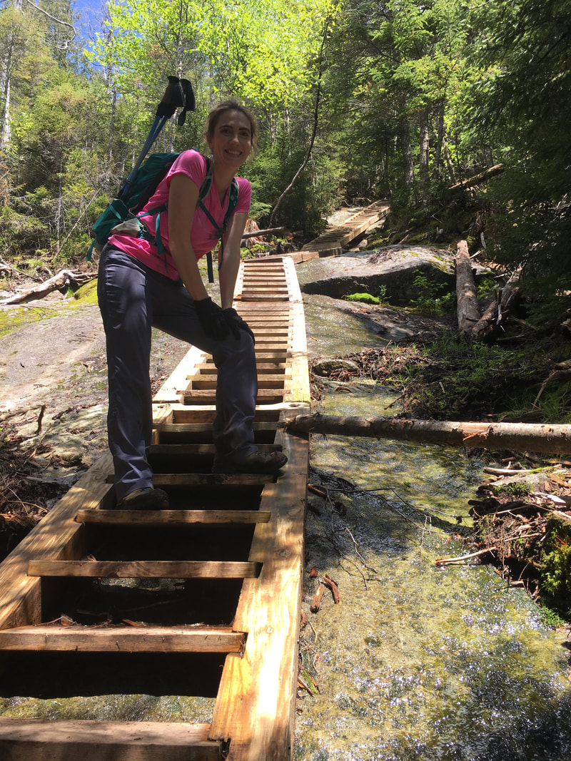
A really cool part about hiking around Avalanche Lake are the "Hitch-Up Matildas," which are actually wooden footbridges bolted directly into the cliff face. These useful catwalks got their name from a story about William Nye (an Adirondack guide for whom Mount Nye is named) who famously guided a hike for Matilda Fielding, her husband, and their niece back in 1868. As the water became deeper along the edge of Avalanche Mountain, Mr Nye waded through the water carrying Matilda in an effort to keep her dry. Her husband reportedly kept yelling "Hitch up, Matilda!" urging her to sit higher on his shoulders. Thanks to the ADK Mountain club, permanent wooden catwalks were first built in the 1920s (and completely revamped in 2017). Now we all get to remain dry! |
Hitch-Up Matildas
|
As you walk through Avalanche Pass, it's amazing to think how geology has transformed our Canadian landscape. We could easily look up and see the slides of Mount Colden, formed by large avalanches in 1869 and 1942 that created a number of landslides on the mountain. The rubble from the landslides substantially raised the level of the lake... the latter avalanche raised the lake level by ten feet alone! No wonder it's called Avalanche Lake.
Another interesting thing about Mount Colden is its famous "Trap Dike," pictured below. This alternative (but dangerous) ascent route is actually a geological formation, formed by a long straight intrusion of softer rocker in the much harder Adirondack anorthosite rock. It was neat to get an up close view of the Trap Dike, compared to the farther views that we saw when we hiked the MacIntyre Range last fall.
Another interesting thing about Mount Colden is its famous "Trap Dike," pictured below. This alternative (but dangerous) ascent route is actually a geological formation, formed by a long straight intrusion of softer rocker in the much harder Adirondack anorthosite rock. It was neat to get an up close view of the Trap Dike, compared to the farther views that we saw when we hiked the MacIntyre Range last fall.
Some of the slides on Mt Colden
|
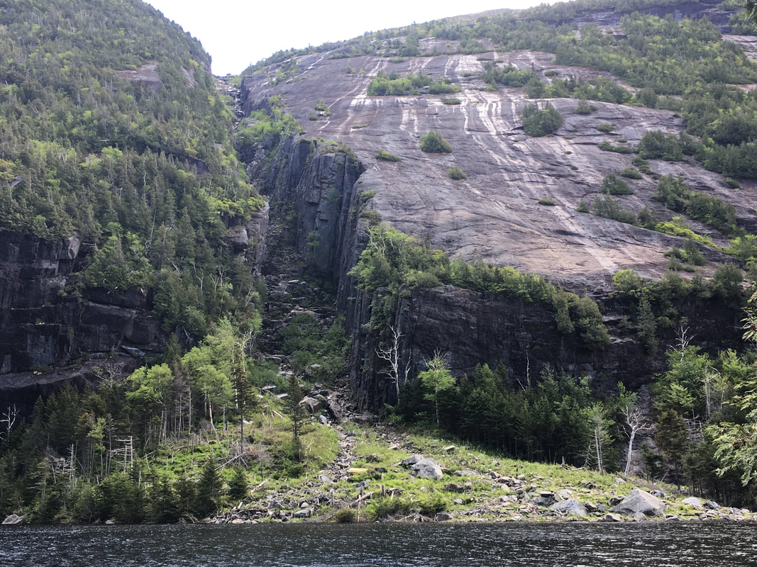
Start of the Trap Dike
|
Niels looking at Colden's slides from Algonquin Peak, with Lake Colden pictured as well
|
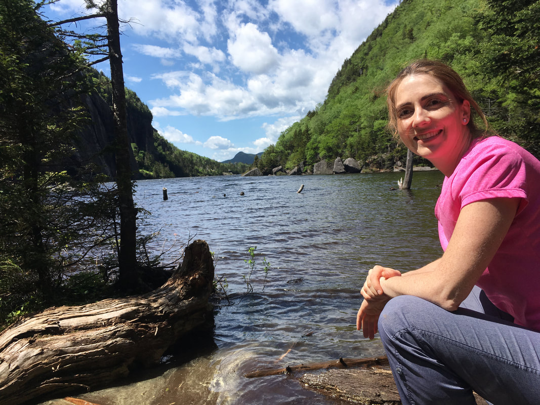
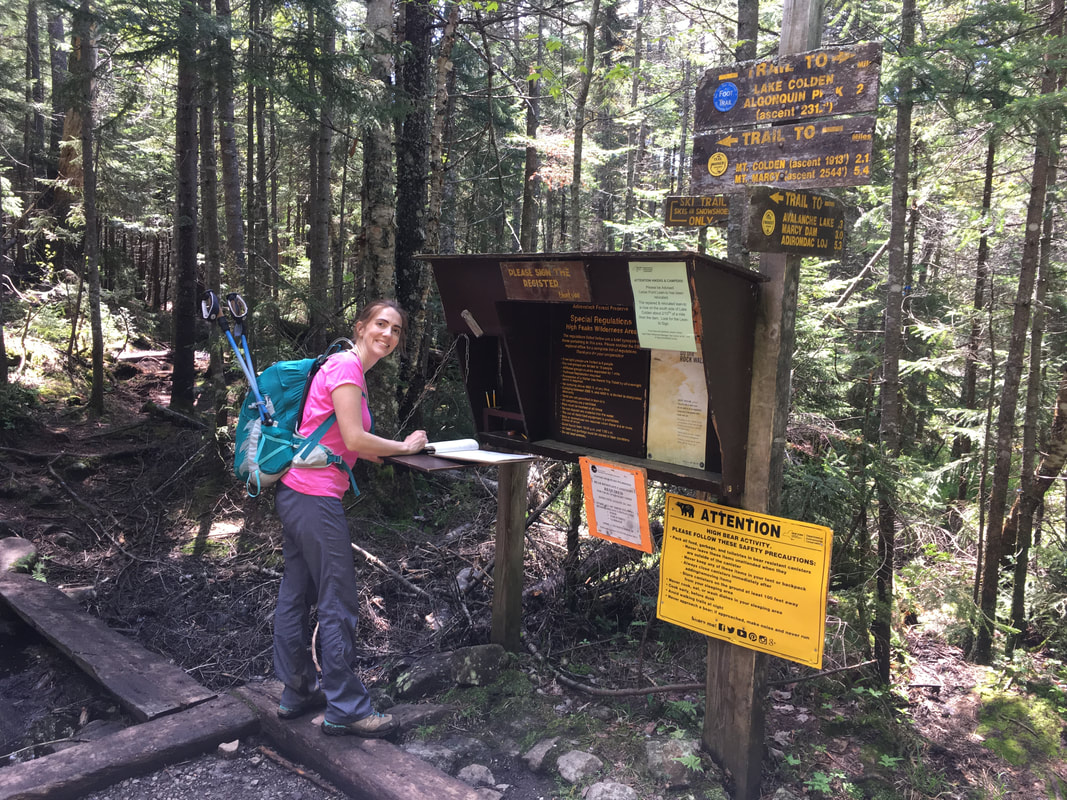
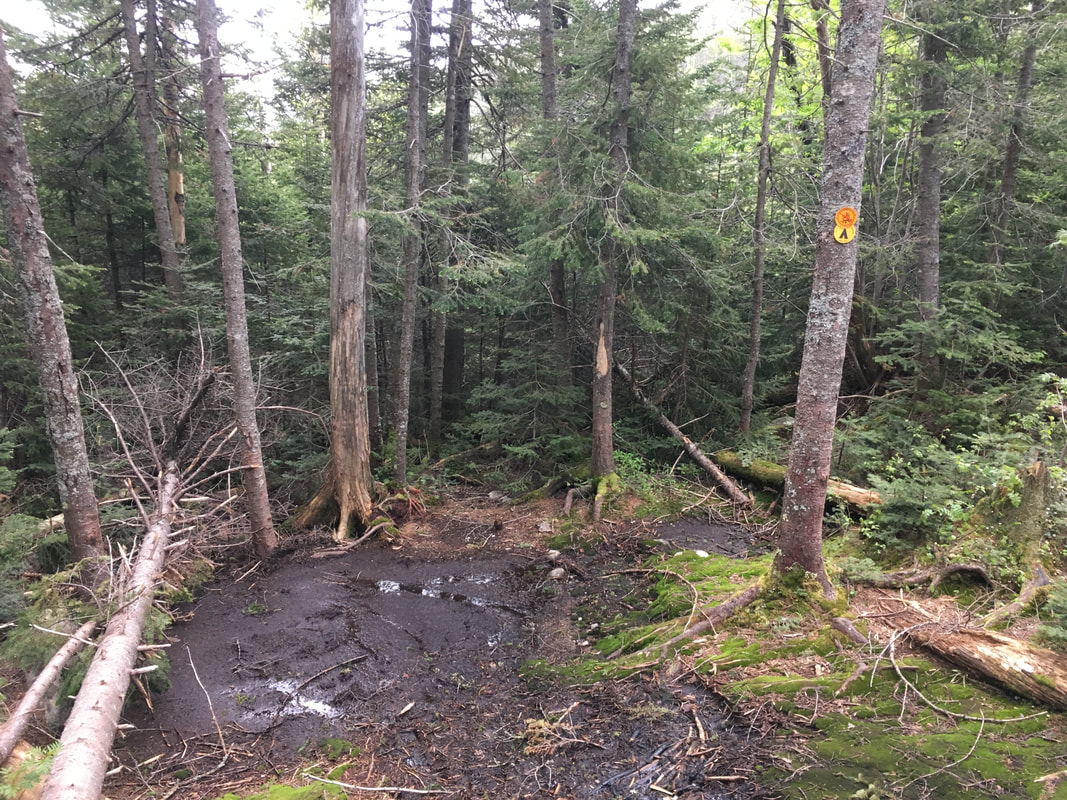
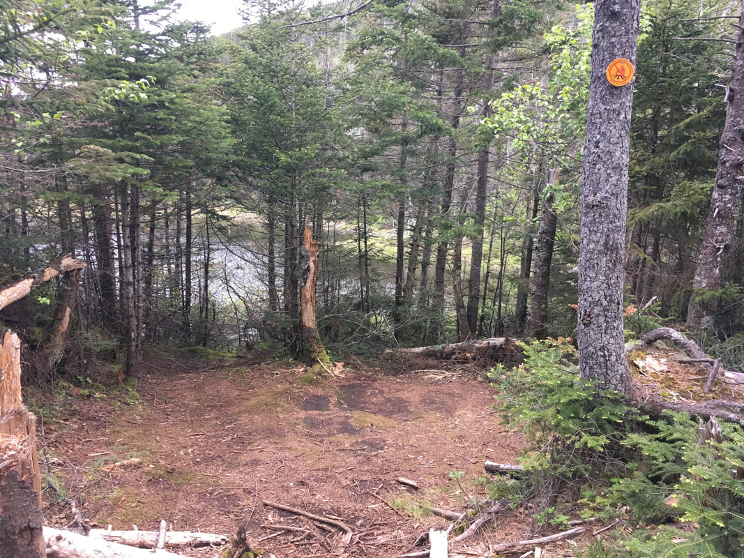
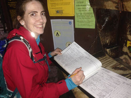
At the south end of Avalanche Lake is a little dam and a bridge. After this, you walk through woods for a bit until a junction where there is another trail register to sign.
|
|
|
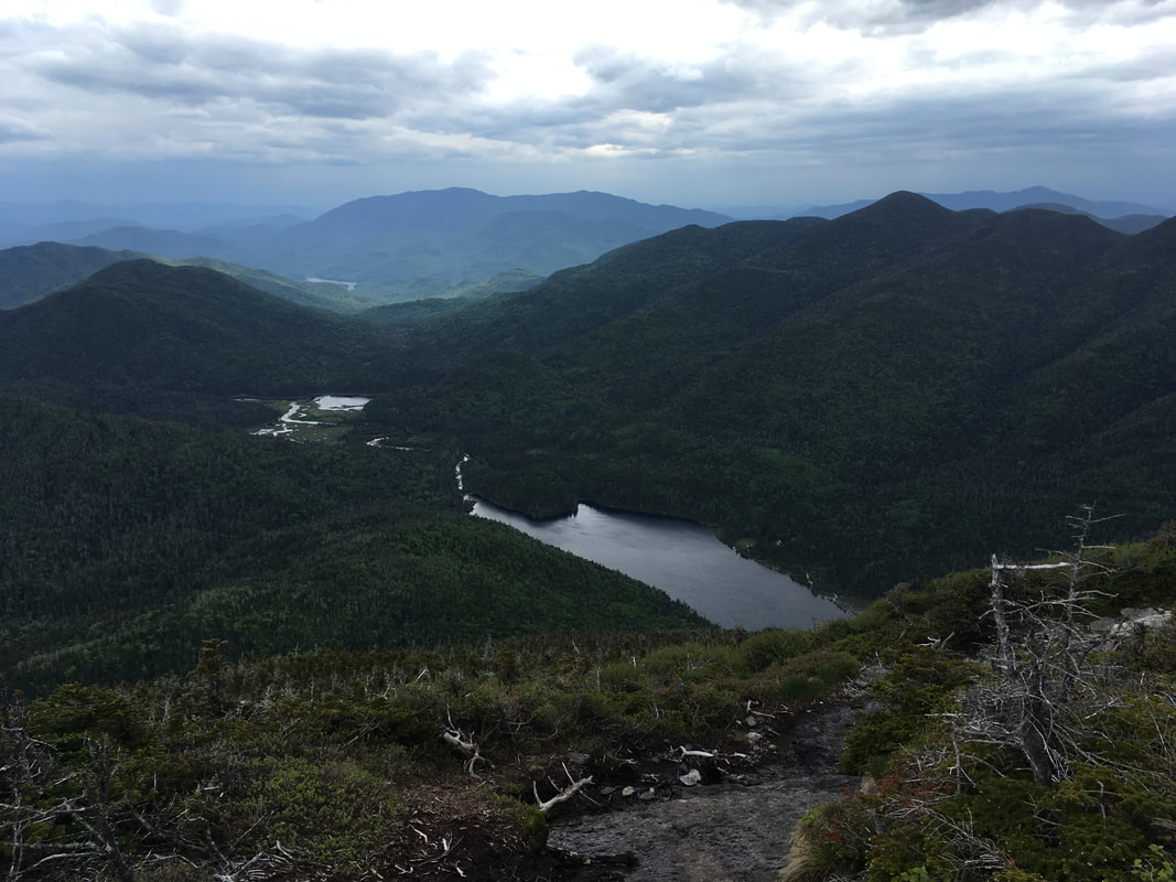
After traversing through more forest, we followed the east side of Lake Colden and received glimpses of the MacIntyre Range. It was quite wooded in this section, so our views were interspersed with trees and the trail was narrow (and wet!).
You can see Algonquin (highest peak) and Iroquois (to the left).
We hiked those last summer!
|
Mud, mud, mud
|
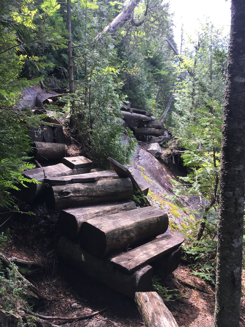
Wow - stairs!
|
|
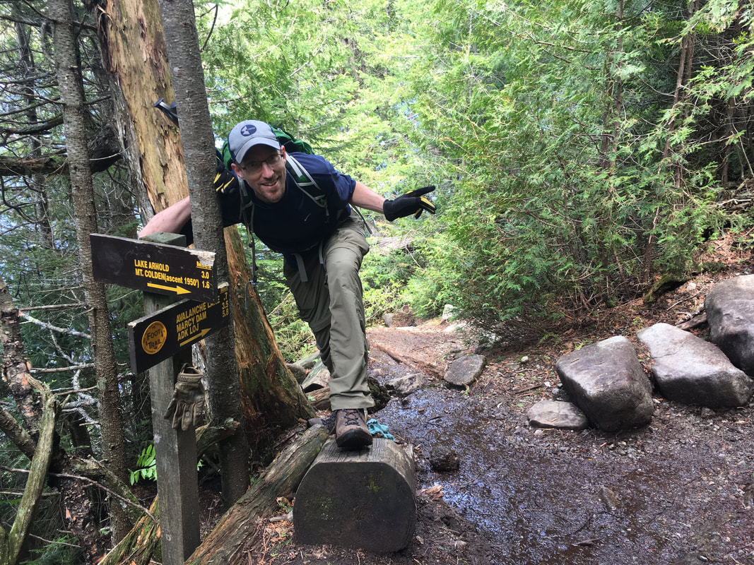
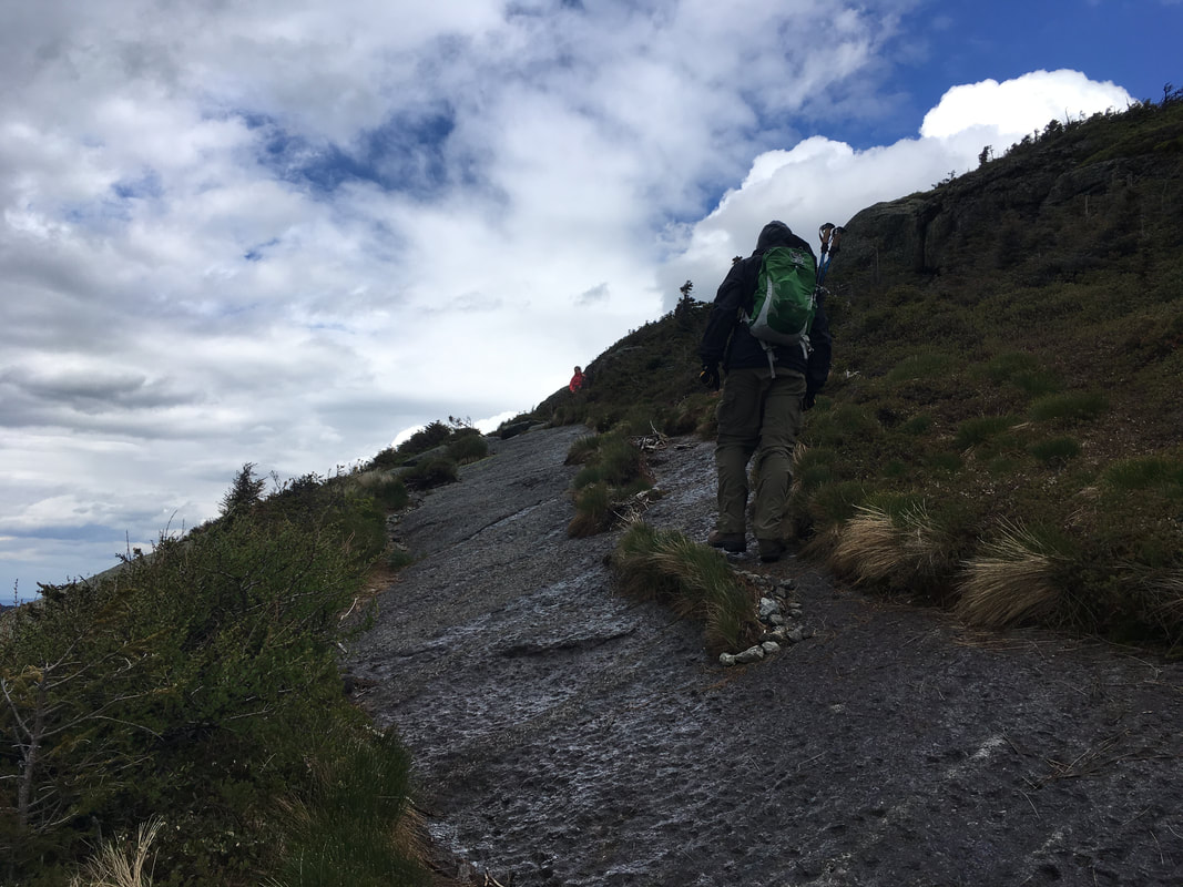
We almost missed the turn off for the trail up Colden. It's well-marked, but the sign is so low that if you're hiking on auto-pilot you might miss it! From this junction, we needed to hike a steep 1.6 miles to summit Colden. |
|
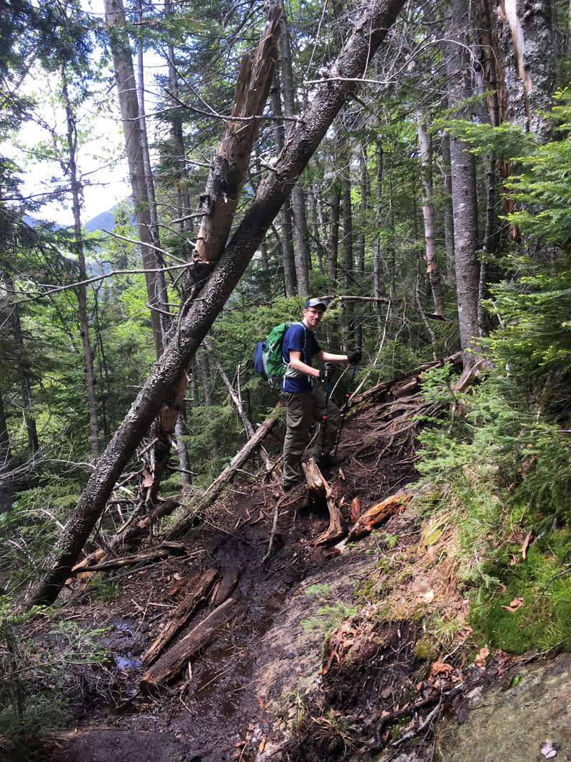
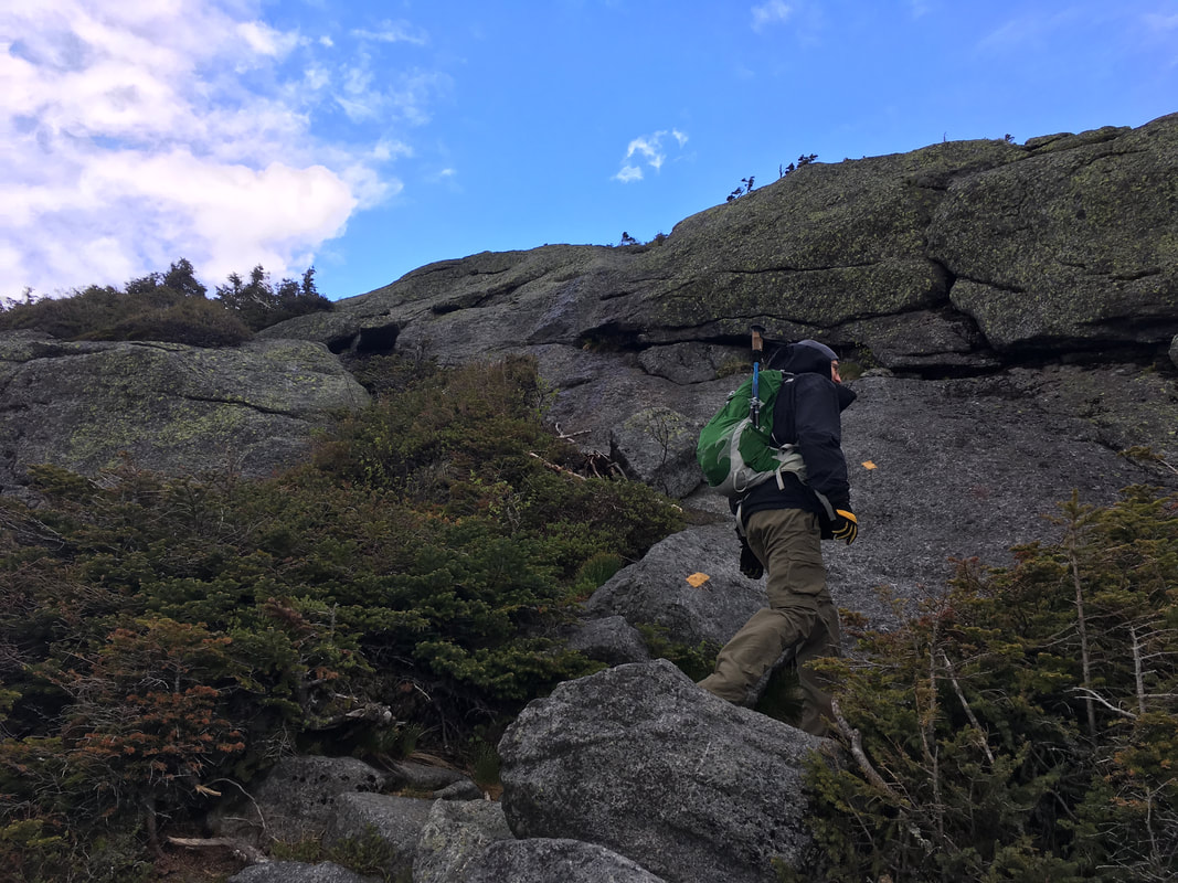
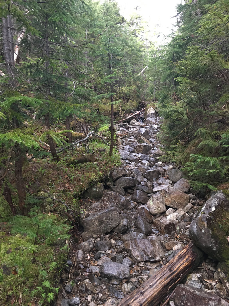
We had not heard great things about this steep part up Colden. We chose the route as it allows us to see Avalanche Pass (worth it!) and it also lets us ascend the steepest section, which is always better than descending it. I have to say, the first half of the "slog up Colden" began relatively fine and got progressively harder. There were tangled roots, some ladders and plenty of rocks to contend with... but welcome to the Adirondack High Peaks folks! The highlight was when I was watching my feet to avoid tripping and I smacked my head right into a fallen tree log across the path. Ouch. I immediately sat down and concentrated on not crying, as Niels politely asked "How could you not see that?!?"
|
|
|
|
Then we hit the hard part! Several ladders made it easier, but there was bare rock... after bare rock... after bare rock. It never ended! Trust me, I only included three photos below, but I have about forty of just flat sheet rock, made slippery by the thin layer of water covering it. We met several miserable hikers coming down who commented that we were smart to go up this section rather than down. Yes, we were. And yet... it still wasn't very enjoyable!
|
|
|
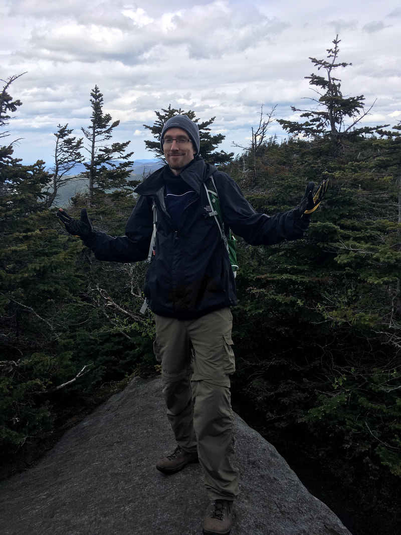
Closer to the summit, we reached some tall jagged rocks. Also, the wind began to pick up significantly (hence Niels' expression in the photo below!). We used the shelter provided by the rocks to change into our raincoats and warmer gear, including neckwarmers and toques. It's absolutely amazing how cold a sharp wind can be.
|

|
After climbing the Stairway to Heaven ladder, we gained some exceptional views! Have I mentioned how much I love ADK hiking?!!?
|
|
|
Behind me you can see the Flowed Lands (I'd like to camp down there one day!)
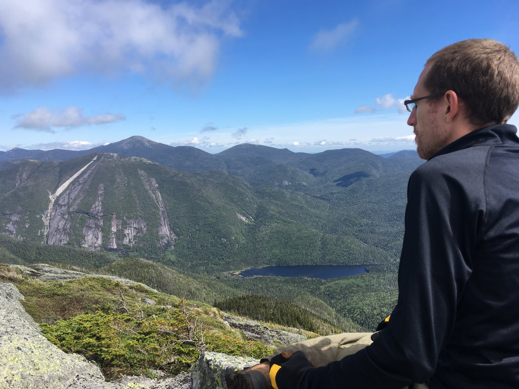
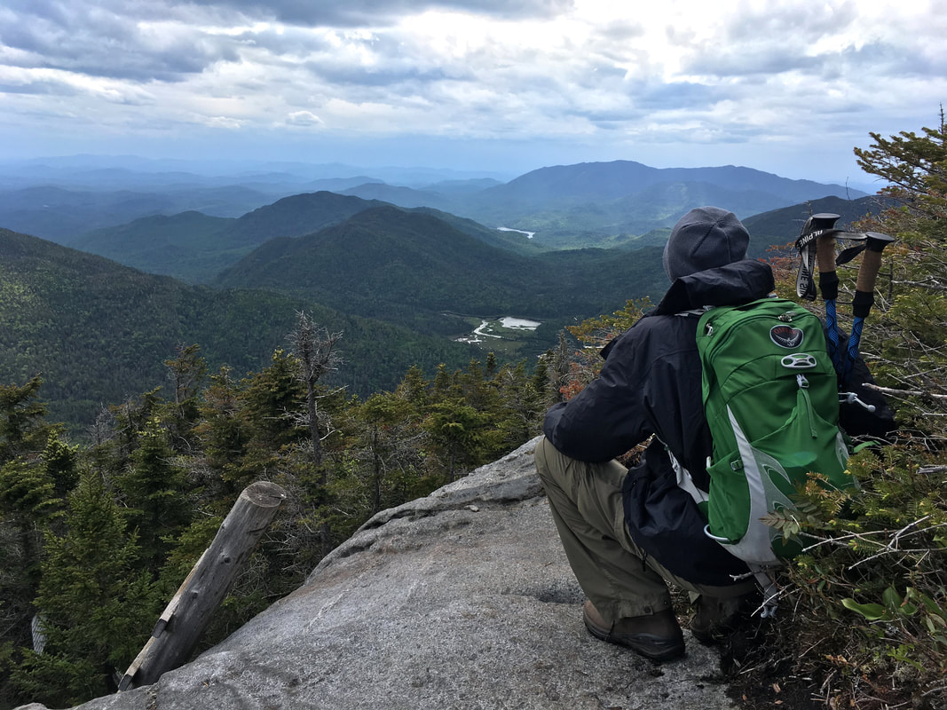
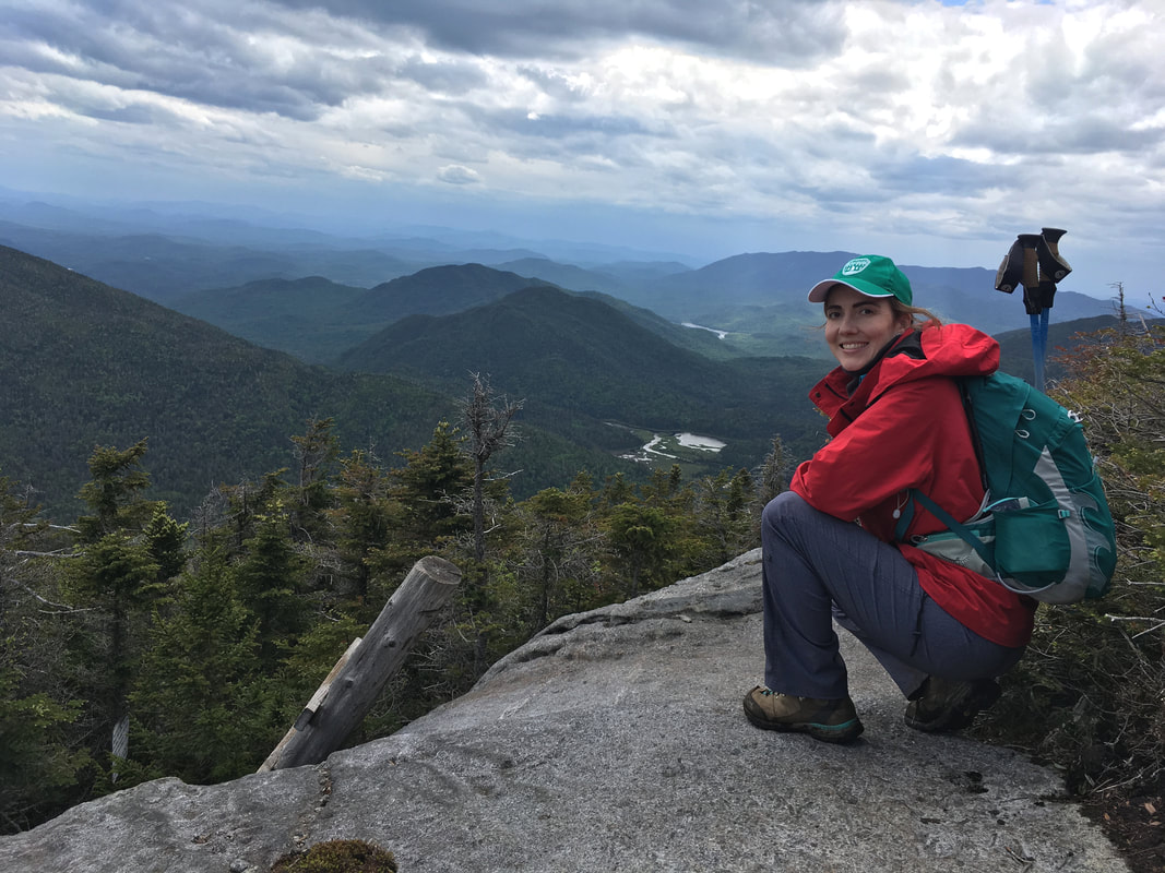
Below you can see our views of the MacIntyre Mountain Range, Lake Colden and the Flowed Lands. After taking in the view (which was hard to do standing up because the wind was ridiculously strong!!!), we followed the yellow rock markers up. Watch this to feel what it's like when it's really windy on a peak.
For the most part, the climb was fairly straightforward and safe. There was only one section where I felt we could have used more hand holds - watch Niels climb it here.
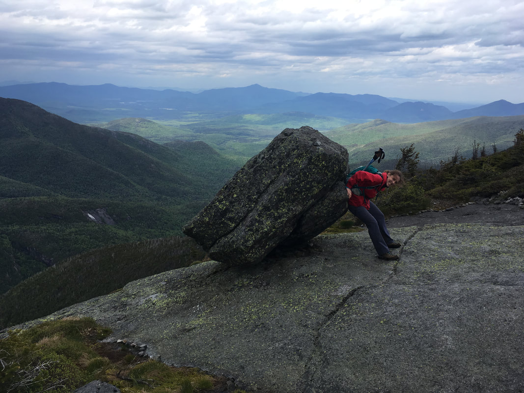
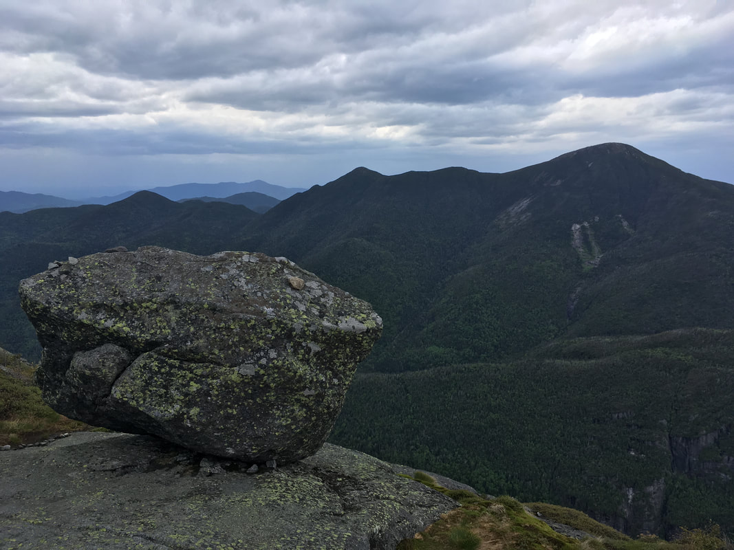
Below are some fun pics of a glacial erratic near the summit of Colden. Yes, I sat on it. It's much more solidly rooted in place than it looks!
Below are some fun pics of a glacial erratic near the summit of Colden. Yes, I sat on it. It's much more solidly rooted in place than it looks!
|
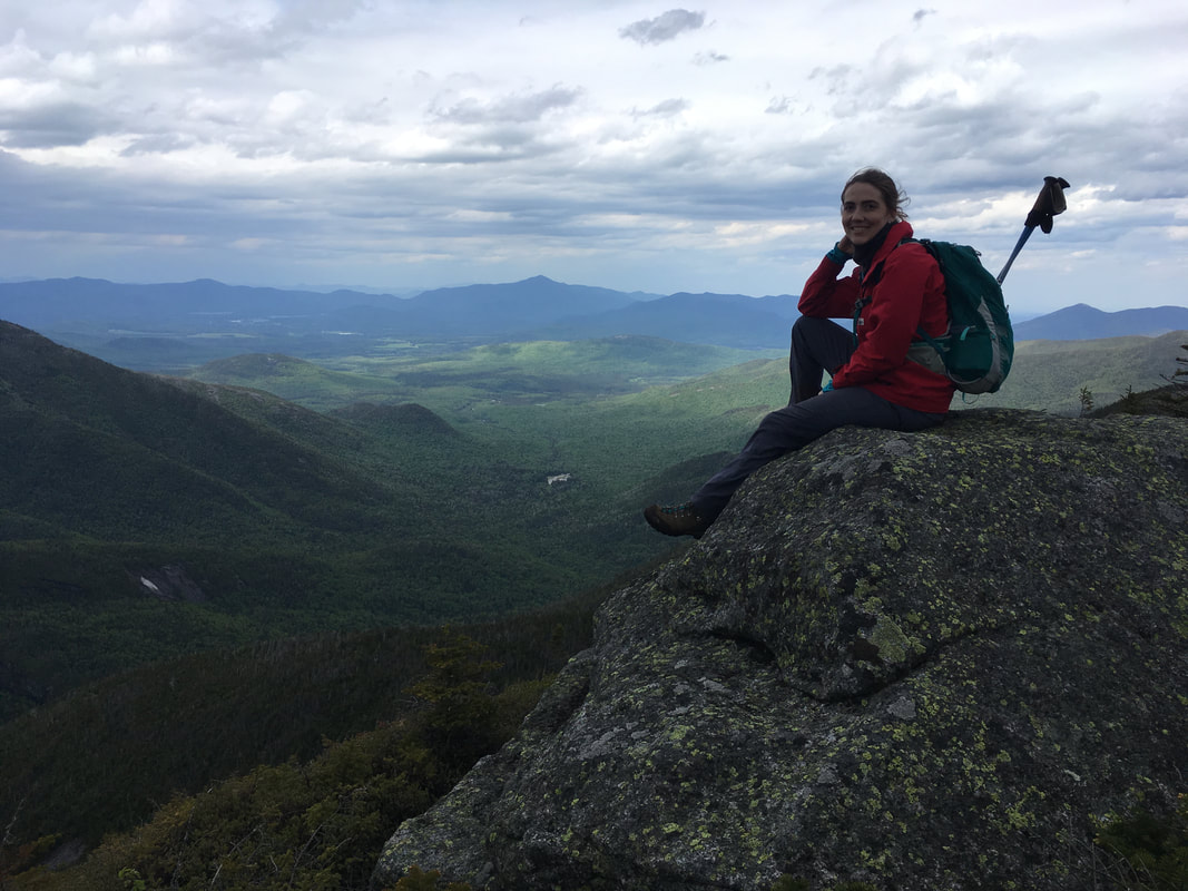
Once past the glacial erratic, watch out for a tiny path leading off to the right. You can easily miss it, but this narrow path leads to the true summit of Mount Colden. We summited Colden at 3:20pm, which means we took a whole 2 hours and 20 minutes to do that 1.6 mile slog up. Phew! |
Small path to the true summit!
|
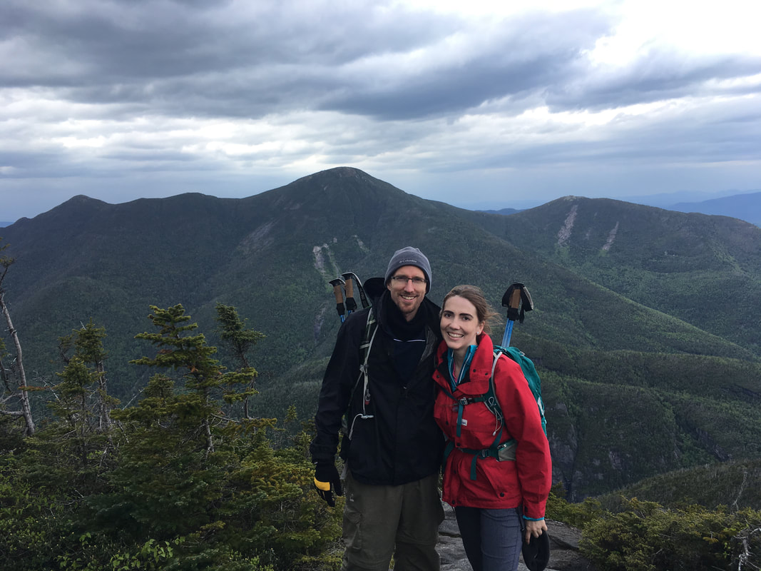
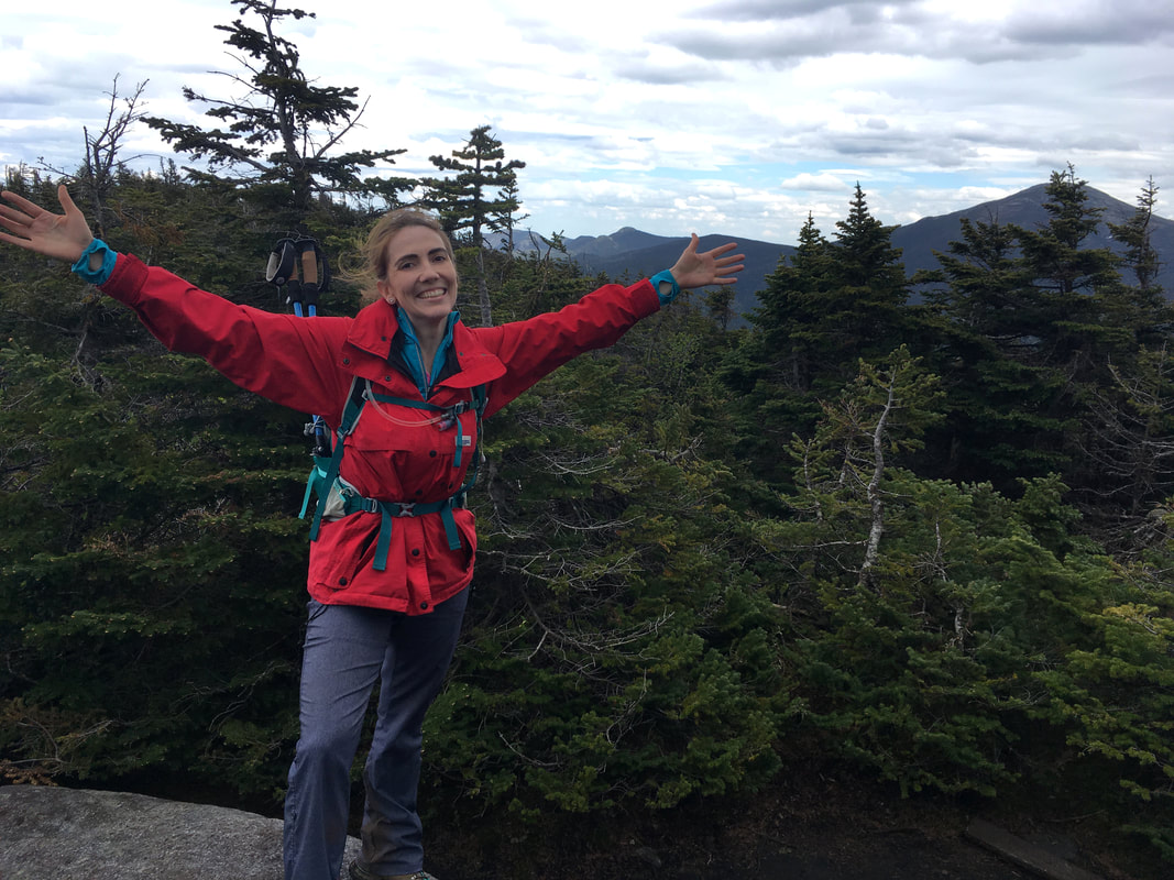
We did it! This is our 19th high peak together.
Mount Colden, 4714 ft, #11 in height
|
Colden has a treed summit
|
It was so windy!
|
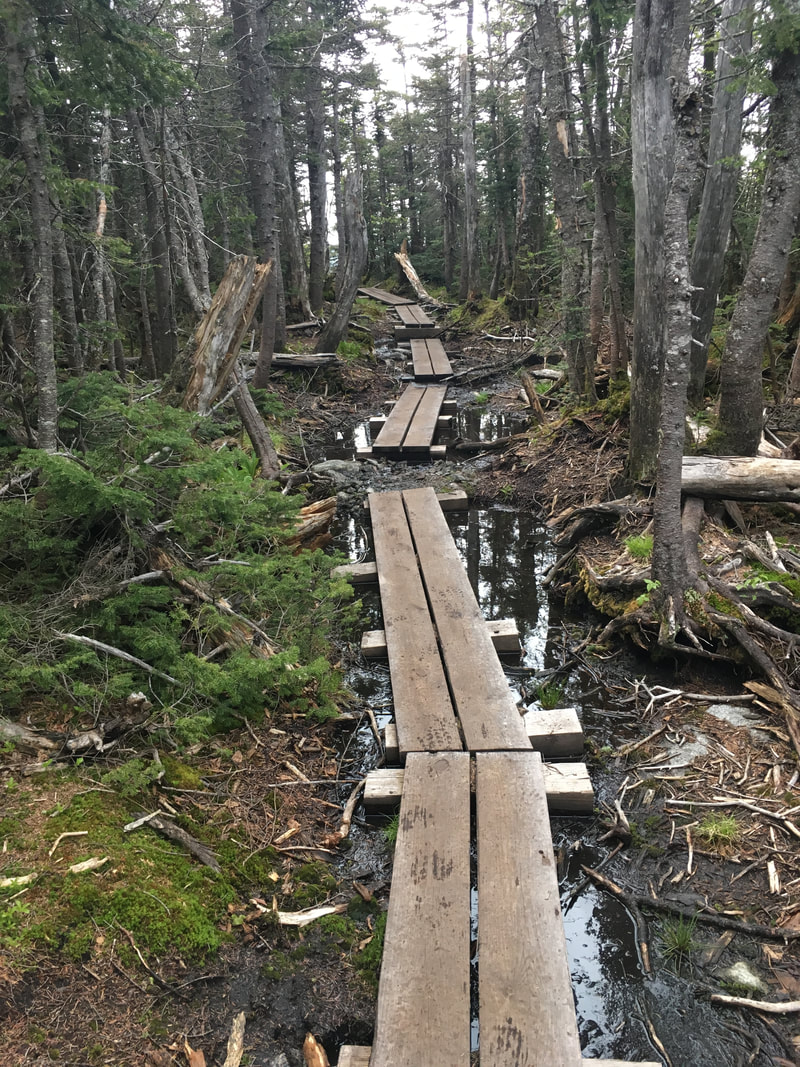
By the time we summited, it was raining lightly so we honestly didn't spend too much time up there. We decided to trek the 1.4 miles down to Lake Arnold as quickly as possible in order to avoid getting caught out in the rain and wind at such a high altitude.
Thank goodness this is a well maintained trail with loads of ladders and boardwalks to help us navigate the wet, muddy conditions.
|
|
|
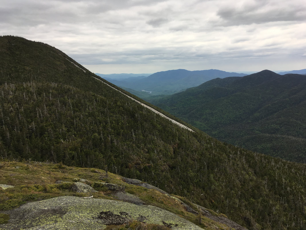
Thankfully, even though Colden's summit is basically a big rock surrounding by trees, there are plenty of great view points on both the way up and down. For instance, watch this to see the 360 view on our descent. Below you can see photos of the MacIntyre Range, Marcy (with the lower great range in the distance), Colden's slides, and the valley. Beautiful!
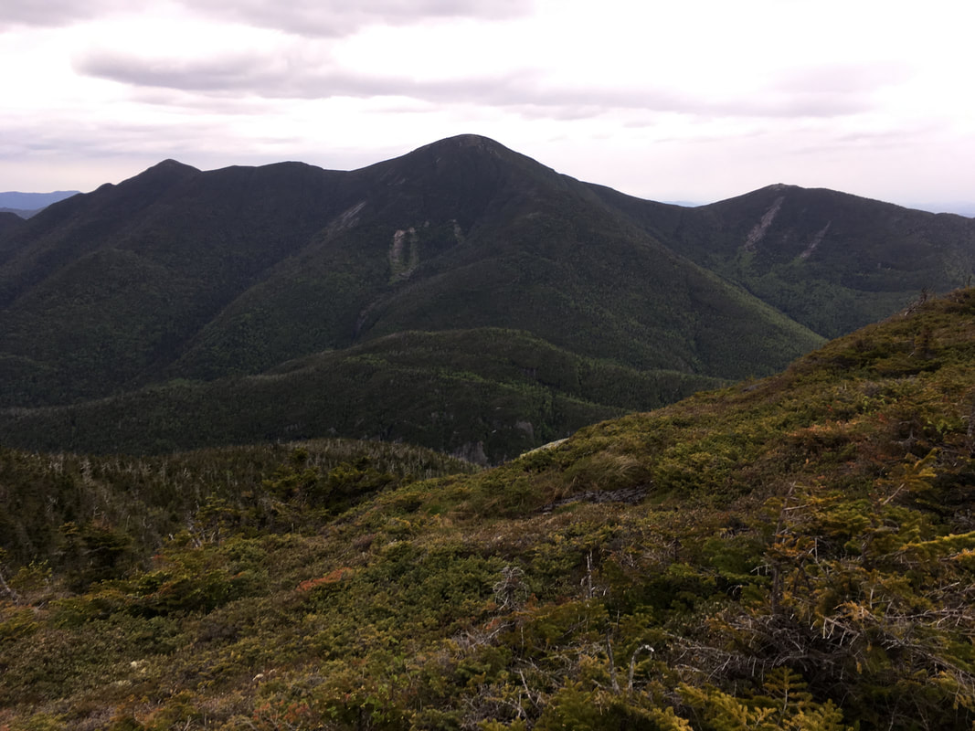
Left to right: Iroquois, Algonquin, Wright (all three climbed)
Colden's slides
|
Marcy, with Lower Great Range in the distance (climbed)

Looking back down into the valley
|
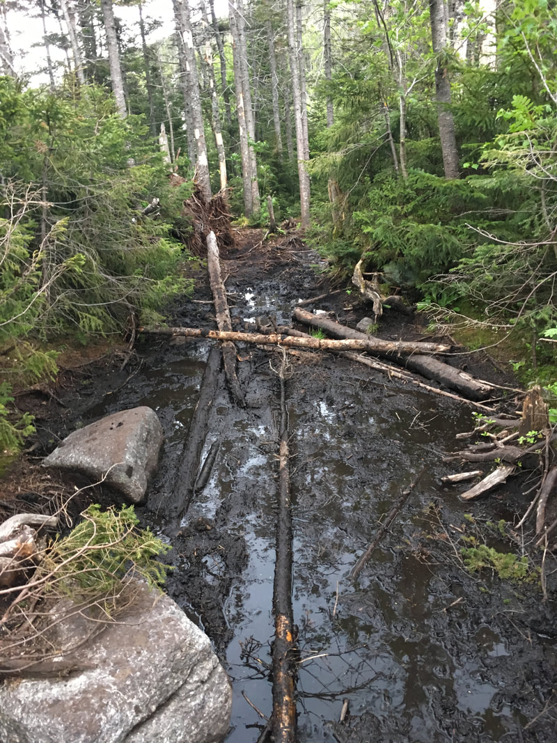
As you can see from the photos below, it was decently muddy the whole way down!
|
|
|
Lake Arnold is a pretty swampy lake surrounded by trees. There are a few campsites there, but only one good site that we could find (the rest were small or very uneven).
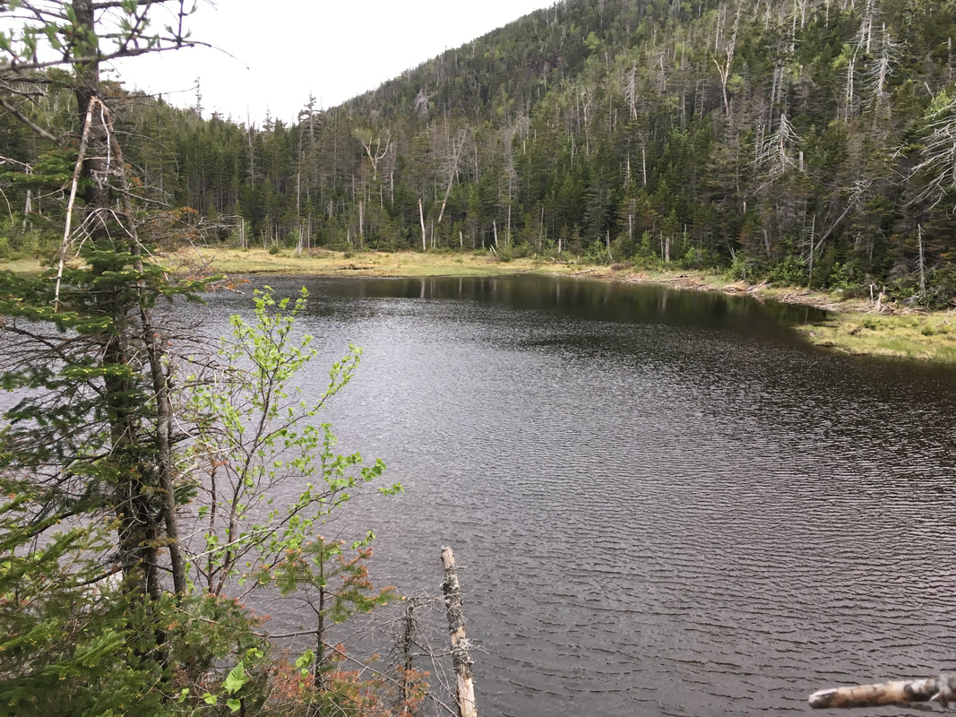
Lake Arnold
Yucky Campsite #1
|
Best Campsite at Lake Arnold
Yucky Campsite #2
|
From Lake Arnold, we had a 1.5 mile trek back to where we began our loop (at Avalanche Lean to). It began to rain lightly again, so we sped through this part (as best we could on these trails!).
|
|
|
Somewhere along this descent (I think after the 0.4 mi mark from Lake Arnold, where the path meets a jct with Route 63) there is a little waterfall off to your left. You can't see it, but if you are aware that it's there and listen carefully, you can hear it. Take the two minute trek down to the falls - it's pretty.
On our descent, around 5pm, we met an ADK ranger coming up the path with a huge overnight pack. He stopped and asked us if we had met two male hikers who had called in, reporting that they had hypothermia and were "around Lake Arnold." We had not seen them at all. How do you get hyperthermia on a warm summer day? If they ascended after us and got caught in the rain early, and then experienced those cold high winds on the summit of Colden, you can easily get hypothermia - especially if you are not properly dressed (imagine a wet cotton t-shirt with cold strong winds whipping at you). I must admit, after some hikes I unpack my bag and pull out my warm raincoat and my neck warmer/toque/gloves and think "Why on earth did I bring these?" This is why - we definitely needed them today. You just never know how cold it can be at a summit, especially with those crazy high winds!
Below is the junction where you can 'pop over' to Indian Falls. Everything was just so well sign posted on this trail! We would have liked to see Indian Falls again (see photos in Phelps & Tabletop post), except that it was now 5:30pm and we were dreaming about which yummy hot meal we would order that night (often a topic of conversation on our ADK descents).
Below is the junction where you can 'pop over' to Indian Falls. Everything was just so well sign posted on this trail! We would have liked to see Indian Falls again (see photos in Phelps & Tabletop post), except that it was now 5:30pm and we were dreaming about which yummy hot meal we would order that night (often a topic of conversation on our ADK descents).
At some point down this trail, I heard a whump and a yelp behind me. I turned around to see Niels sitting on his behind, holding his head. I guess he too had been watching his feet and somehow missed the huge overhead log that crossed the path. As he sat there recovering and rubbing his temples, I thought "How could you not see that?!?" Touché.
|
We made it back to our "loop point" at Avalanche Lean to by 6:10pm and then then booted it the extra 3.1 miles back to the ADK Loj by 7:45pm. I ducked into the Loj to ask if they had heard any news about the missing hypothermic hikers yet. "You mean the guy and the girl lost in the Trap Dike?" they replied. Gulp. Nope, not those two... the other ones. Boy, these mountains can be rough. It was frustrating to know that our car was not waiting for us in the parking lot, but rather rested another mile down the road... sigh. Niels was gentlemanly enough to let me wait at the Loj while he retrieved it. #BestHusbandEver |
|
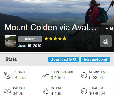
It was really neat to hike using the AllTrails app this time. We downloaded the map to my iPhone beforehand, and used it successfully while on Airplane Mode. I can see the benefit if you are on unmarked trails (ie, you can easily see if you accidently wander off trail). The only problem was that it really drained my phone battery (thank goodness for portable battery chargers - I had to recharge my battery three times on this one day trek using the app).
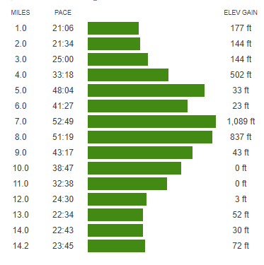
You can see our hiking stats below... it really should say that we took 11 hours total (we lost the signal at the black dot below - the summit - and only regained it around 15 minutes later).
It's also interesting to analyse our hiking stats afterwards. We hiked flat miles in about 21 minutes (wow!) but steep uphill sections took us much longer (1 mile in 52 minutes). My question: if our 'moving time' was only 8 hours, WHAT ON EARTH WERE WE DOING FOR THOSE EXTRA THREE HOURS? I know we take a lot of rests and breaks, but I just didn't realize we stop for that long!
Oh well, with the sheer beauty of these Adirondack mountains, how can you not stop and enjoy the views along the way?
|
|
|
Total distance: 13.3 miles by our ADK map, although my Alltrails map logged our trek as 14.2 miles (23 kilometers) *From the ADK Loj onwards, not including the extra mile to the parking lot!
Total elevation gain: 3,146 ft
Total time: 11 hours
Comment Form is loading comments...
