Upper Wolfjaw, Lower Wolfjaw,
Armstrong, Gothics & Sawteeth
Adirondack Hike: July 29 - 31, 2017
July 29 - 31, 2017
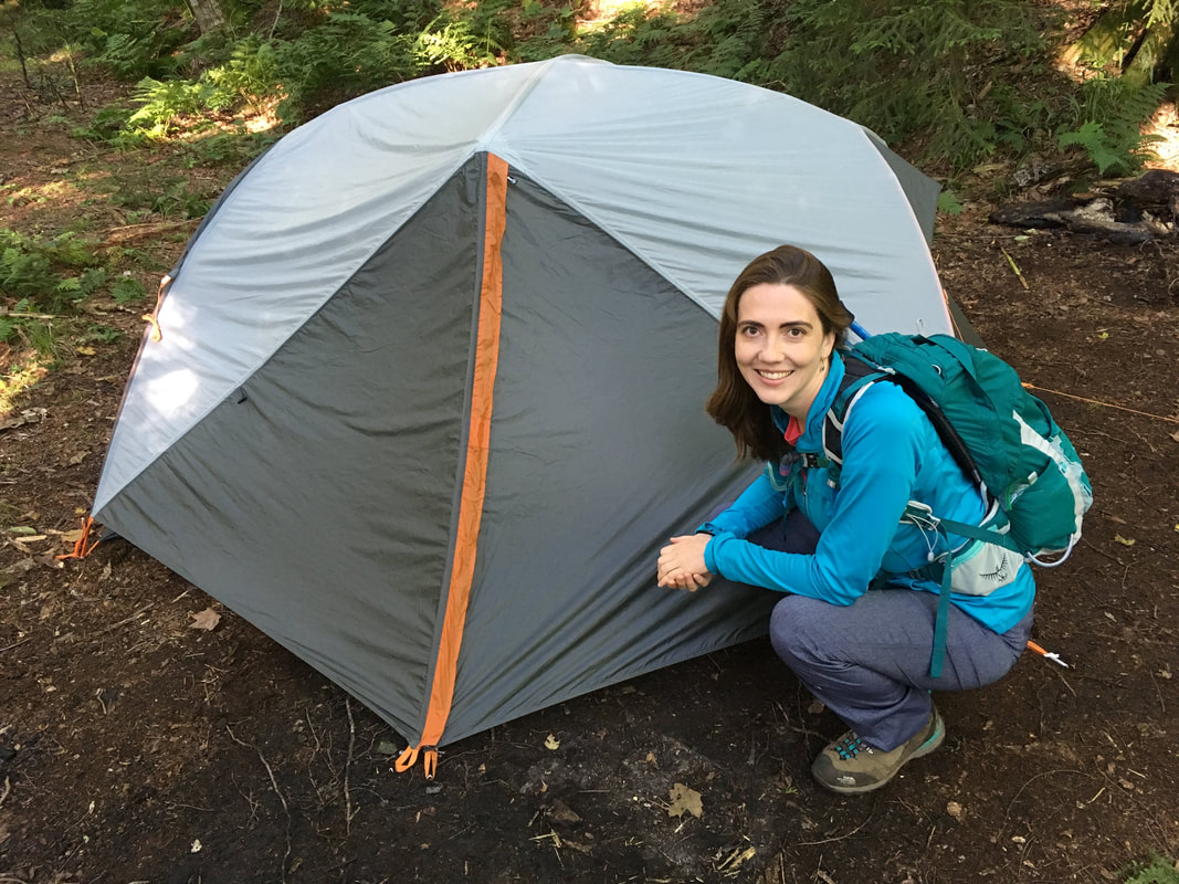
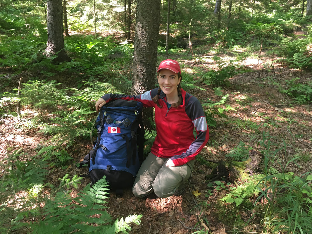
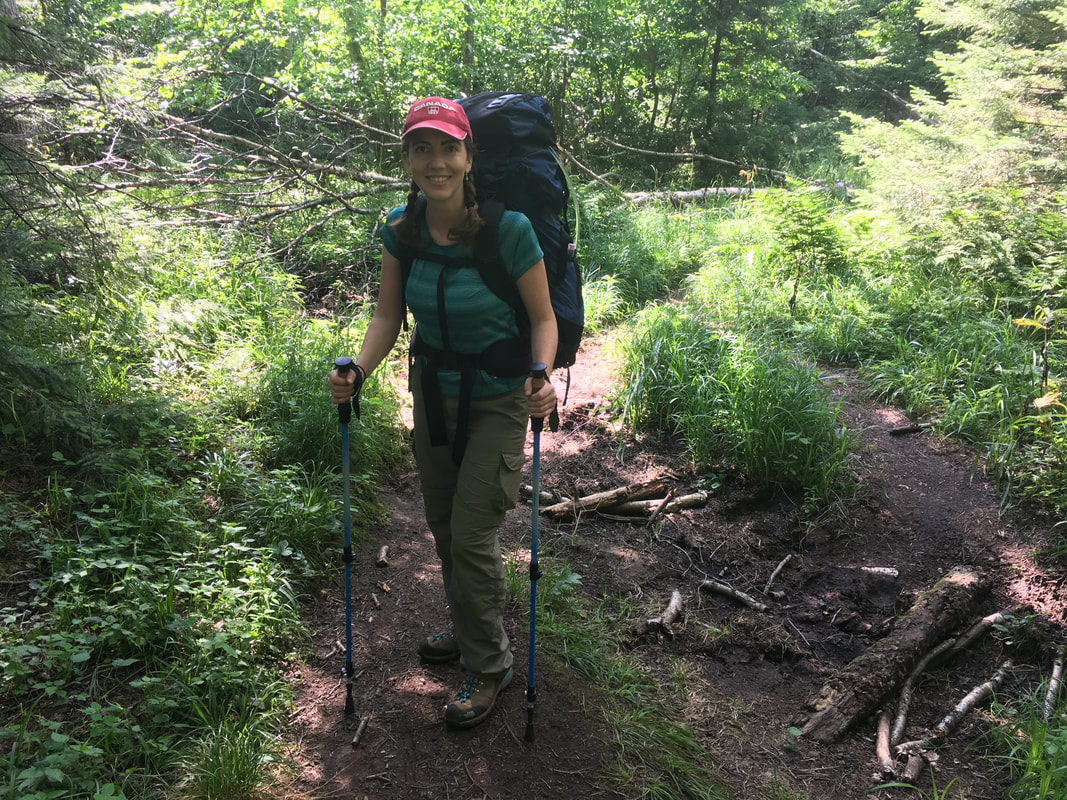
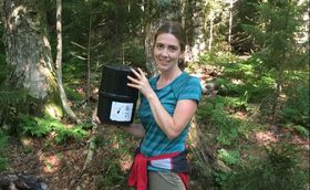 Shannon with a bear canister
During our hike of the lower great range, Niels and I learned many lessons. Some were trivial, like we packed twice as much food as we actually needed. Those seven avocados have summited more ADK peaks than most people. Other lessons were not so trivial. This weekend, we gained a greater appreciation for our beloved mountains. We learned that they should be greatly respected and approached with caution, because in reality they can take lives. And this weekend, they did.
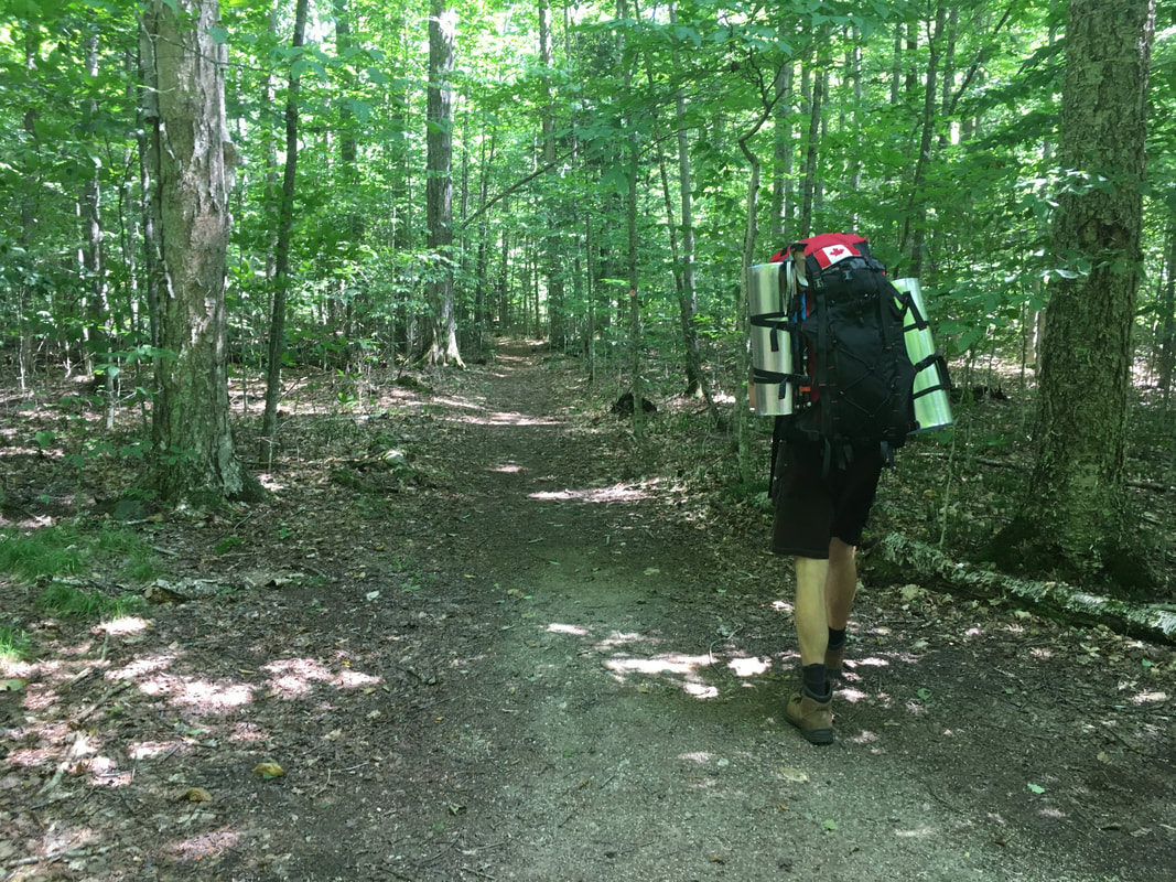
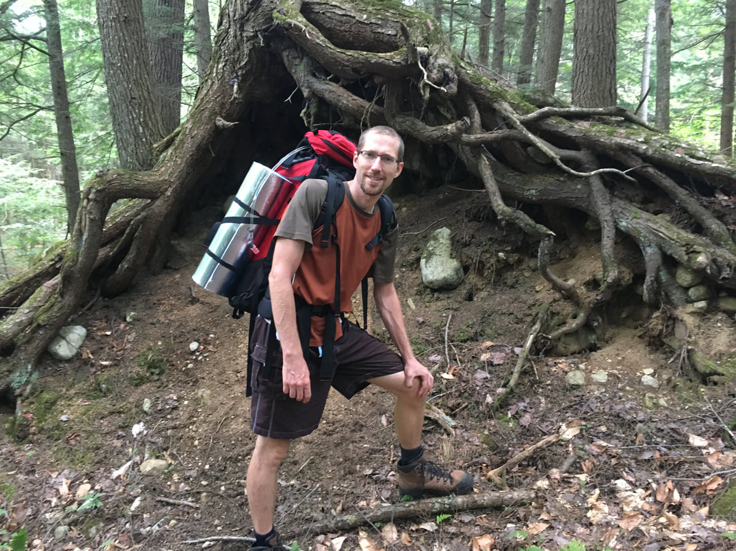
Our adventure started long before our late July hike. So far, Niels and I have only approached hiking the high peaks as day trips. However, we were quickly realizing that with our slowish hike times, most of the peaks we haven’t done are too far in for us to hike in a day. Don’t get me wrong - people often do them in a day, but I am not willing to be trapped out on a mountain unprepared at night. So, with adventure on our minds, we set out to ready ourselves for our first camping experience in the Adirondacks as a married couple. Lightweight tent? Check. Water filter? Check. Bear canister? Check. Food? Check, check, check.
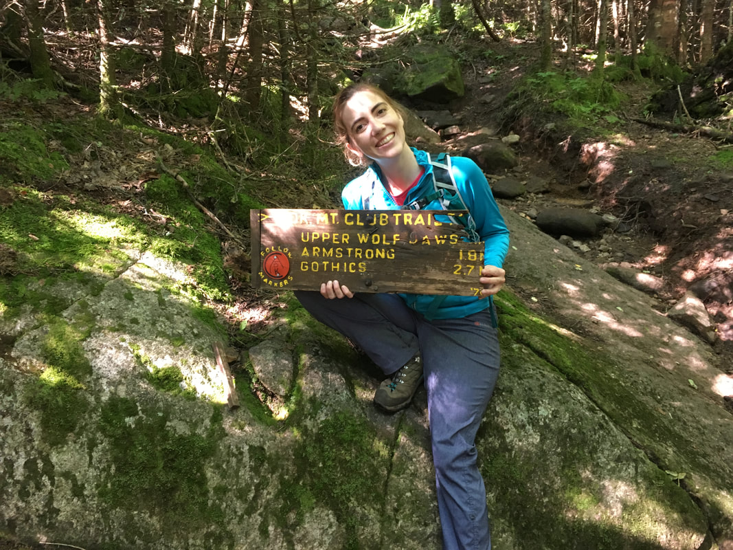
Our plan was to hike in via the Adirondack Mountain Reserve (AMR) gates at St Huberts to the Wedge Brook Trail. There are two campsites 1.2 miles up this trail, just past the AMR border and into state land. That would cut off four miles from our hike, round-trip, and thus make our main day of hiking shorter. The next morning, we would wake up early and only be one mile from the summit of Lower Wolfjaw. Then we would proceed to hike Upper Wolfjaw, Armstrong, Gothics, and Sawteeth. I liked this plan for three reasons: 1) We could easily include Sawteeth in this route, thus getting in another high peak for only a 1 mile round-trip detour. 2) Hiking the range in the direction from the Wolfjaws to Gothics is much easier/safer than ascending Gothics via the cables or going down the ladder/steep rocks on Armstrong. 3) Shaving off even just 4 miles might make this hike actually feasible for us!
Our adventure started long before our late July hike. So far, Niels and I have only approached hiking the high peaks as day trips. However, we were quickly realizing that with our slowish hike times, most of the peaks we haven’t done are too far in for us to hike in a day. Don’t get me wrong - people often do them in a day, but I am not willing to be trapped out on a mountain unprepared at night. So, with adventure on our minds, we set out to ready ourselves for our first camping experience in the Adirondacks as a married couple. Lightweight tent? Check. Water filter? Check. Bear canister? Check. Food? Check, check, check.
Our plan was to hike in via the Adirondack Mountain Reserve (AMR) gates at St Huberts to the Wedge Brook Trail. There are two campsites 1.2 miles up this trail, just past the AMR border and into state land. That would cut off four miles from our hike, round-trip, and thus make our main day of hiking shorter. The next morning, we would wake up early and only be one mile from the summit of Lower Wolfjaw. Then we would proceed to hike Upper Wolfjaw, Armstrong, Gothics, and Sawteeth. I liked this plan for three reasons: 1) We could easily include Sawteeth in this route, thus getting in another high peak for only a 1 mile round-trip detour. 2) Hiking the range in the direction from the Wolfjaws to Gothics is much easier/safer than ascending Gothics via the cables or going down the ladder/steep rocks on Armstrong. 3) Shaving off even just 4 miles might make this hike actually feasible for us!
|
On Saturday morning, we drove from Ottawa to St Huberts and entered the Adirondacks via the Ausable Club entry. This was a first for me! For those who don’t know, the AMR actually owns a stretch of land that includes access to the lower Great Range (the other common access point is via John’s Brook Lodge). AMR is private land, but New York State has negotiated an easement that allows the public to hike on the property. The Ausable Club is basically the notoriously private clubhouse of the AMR. They have a ton of strict rules, including no camping, no dogs, no swimming, no bikes, no cellphones, etc, etc. Also, they don’t let hikers get dropped off at the entry gate (so you have to walk 0.75 miles from a parking lot to the trail register on a perfectly good road) or drive down the long Lake Road (another 3.3 miles in full length). Only members get to do that. Unamused that we had to add a ton of mileage that could be driven – with our heavy overnight packs at that – I jokingly suggested that we should just pay the Ausable Club fee and join their club. Upon googling it, I learned that new members have to go through a rigorous vetting process, are placed on a wait list until a vacancy arises, and initiation fees cost more than $10,000. Don’t forget the annual fee of up to $4,000 as well. Ha! I guess we’ll walk the road with packs…
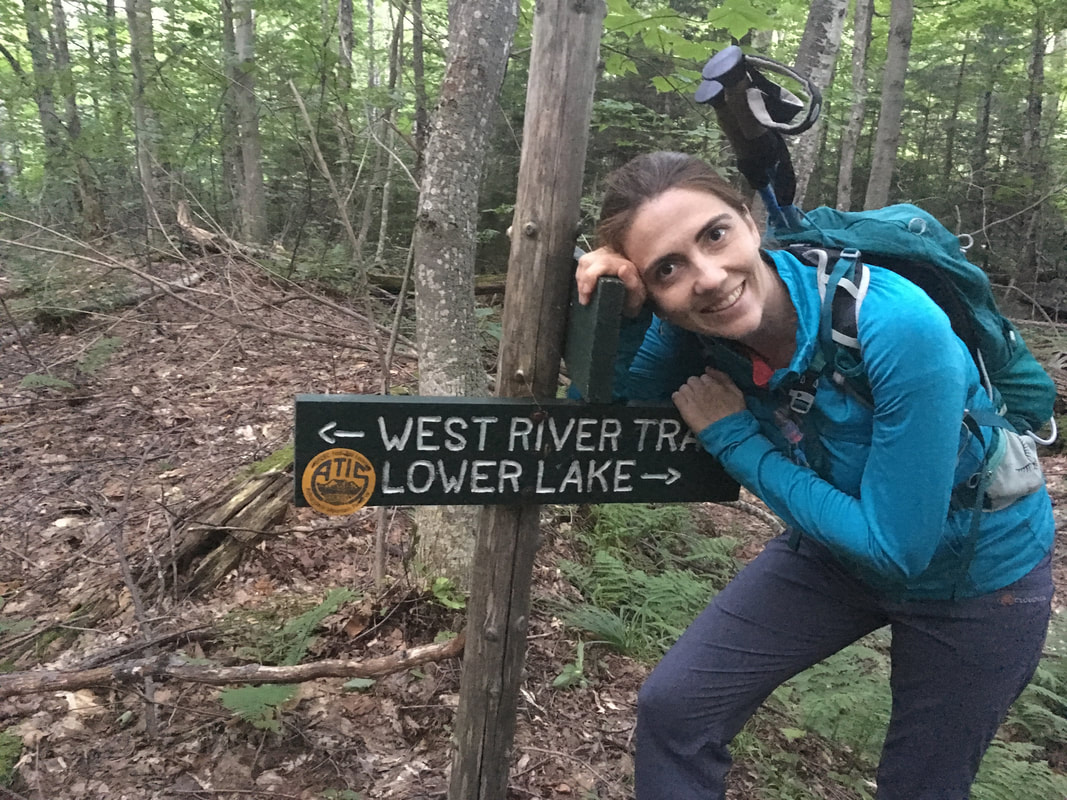
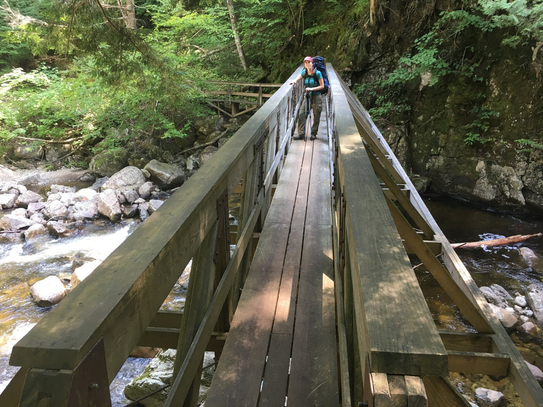
We signed in at the register at 4:45pm and began the beautiful trek along the West River Trail. |
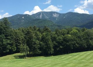
I've never seen Giant with a golf course in front of it!!!
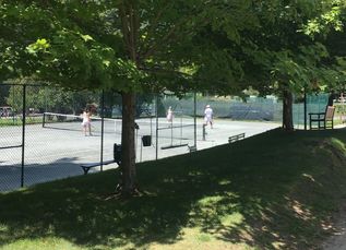
Turn left after the tennis courts for the trail register...
|
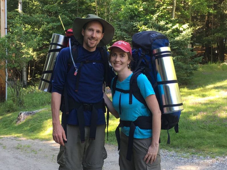
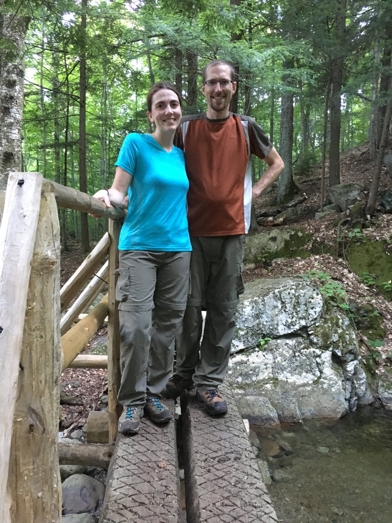
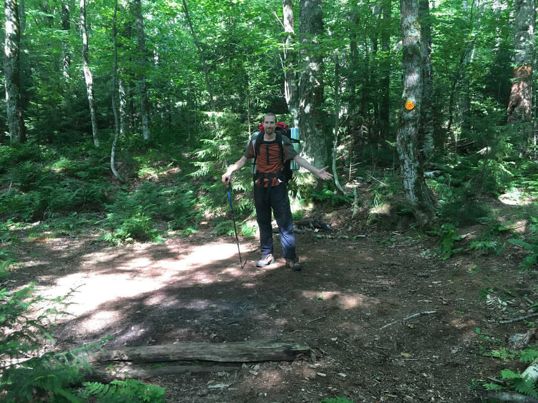
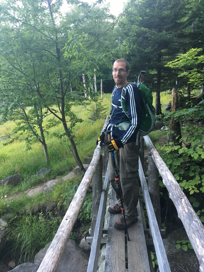
Ready to go!
|
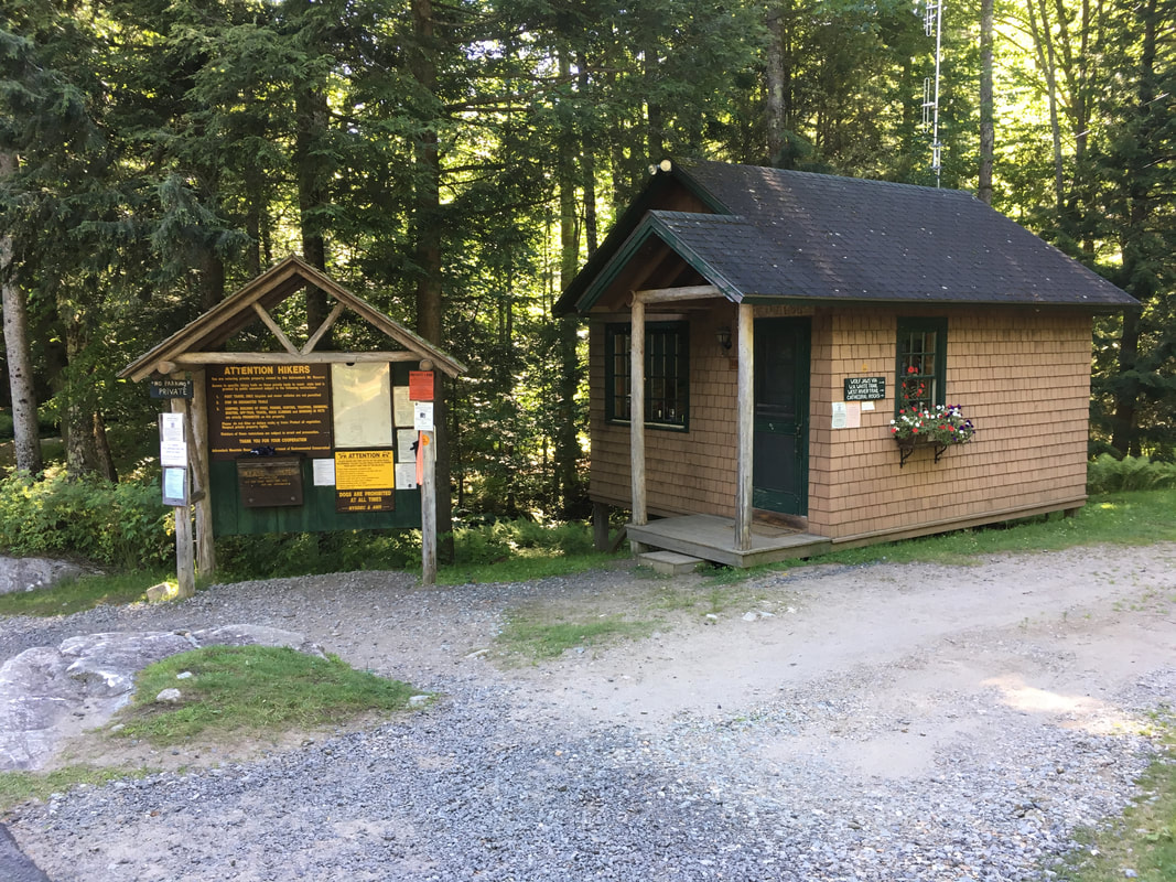
Ranger hut beside the trail register
|
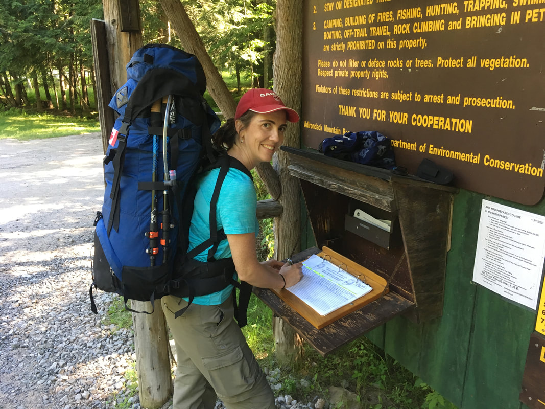
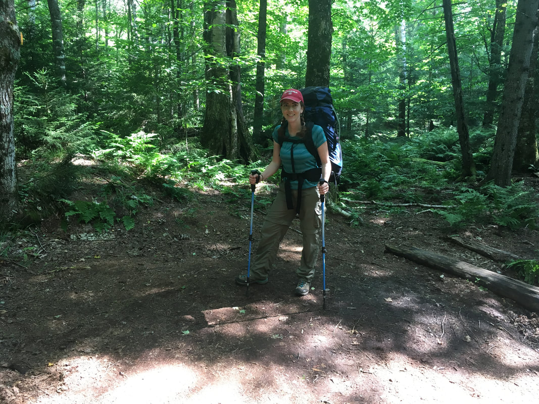
Signing in! We will be gone for three days!
|
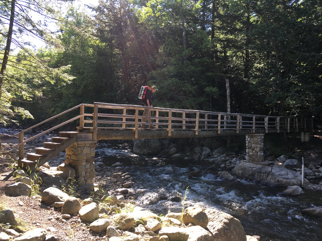
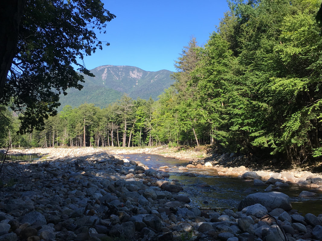
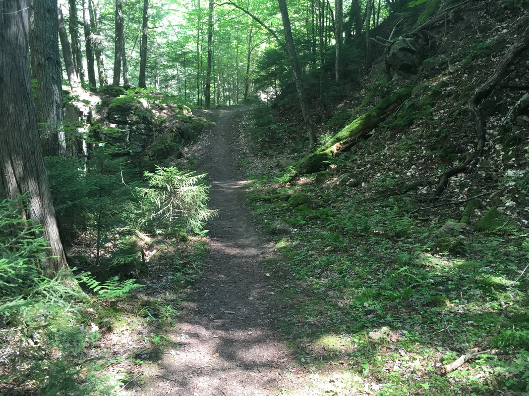
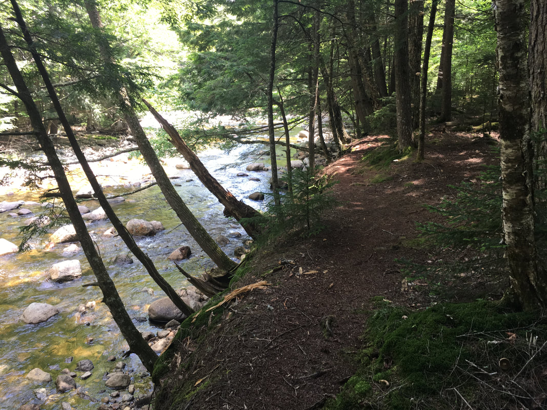
We chose to hike on the West RiverTrail rather than the Lake Road, because although it was a bit longer, it runs beside the Ausable River and is beautiful. Much better than walking on a dirt road!
|
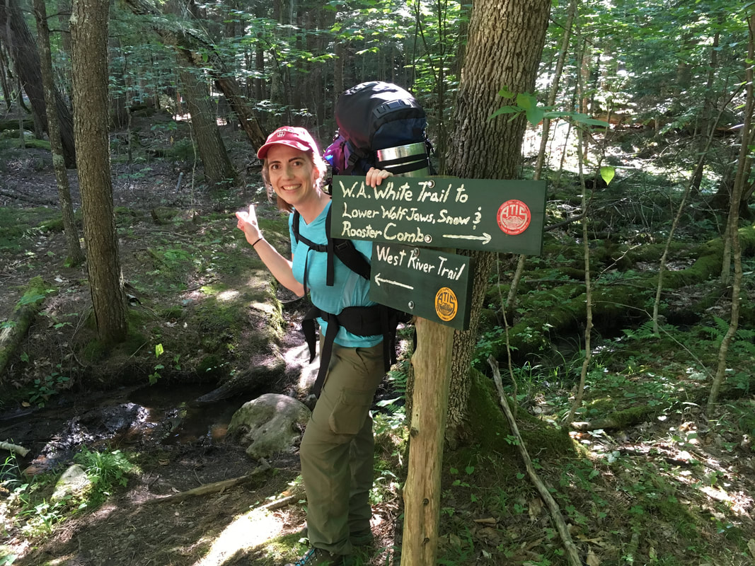
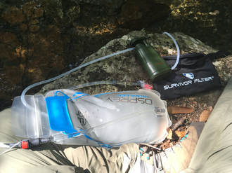
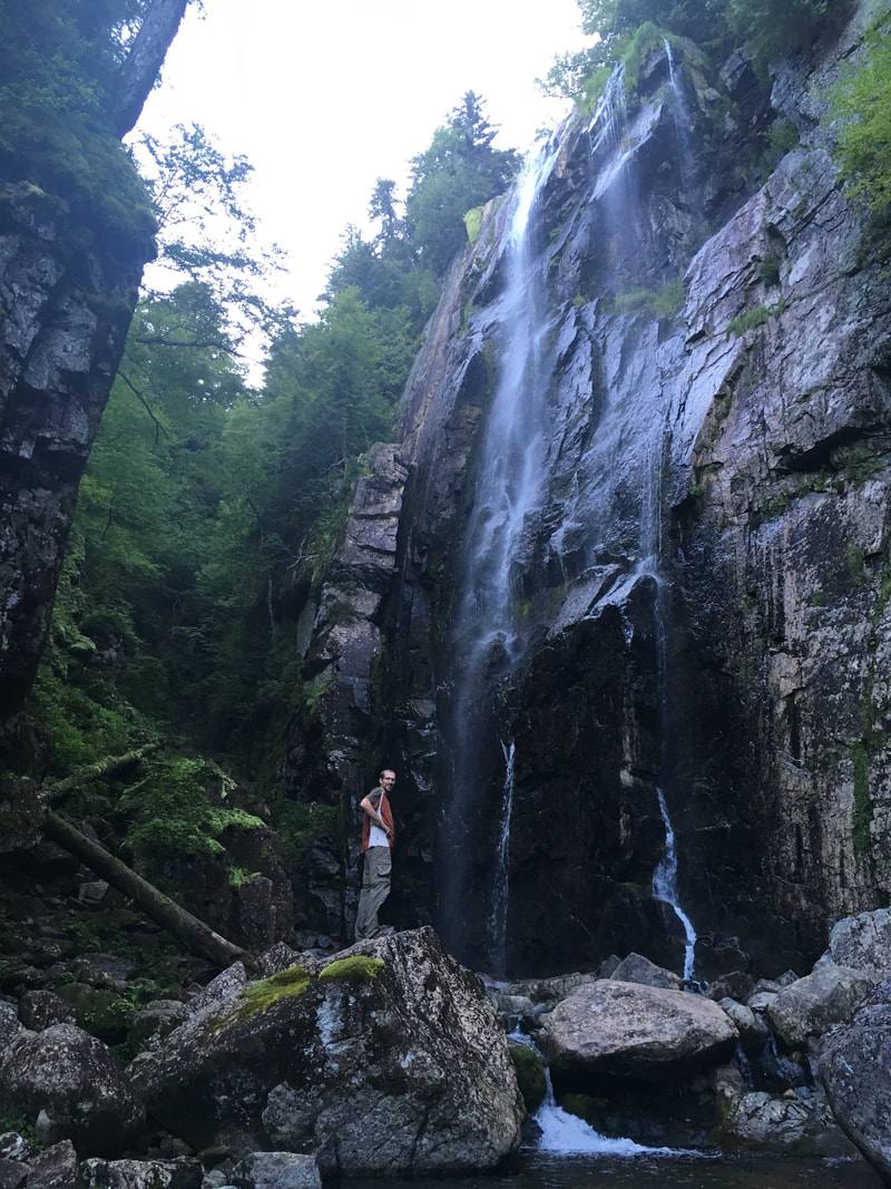
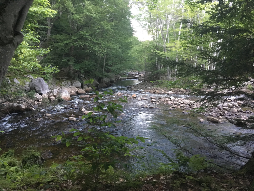
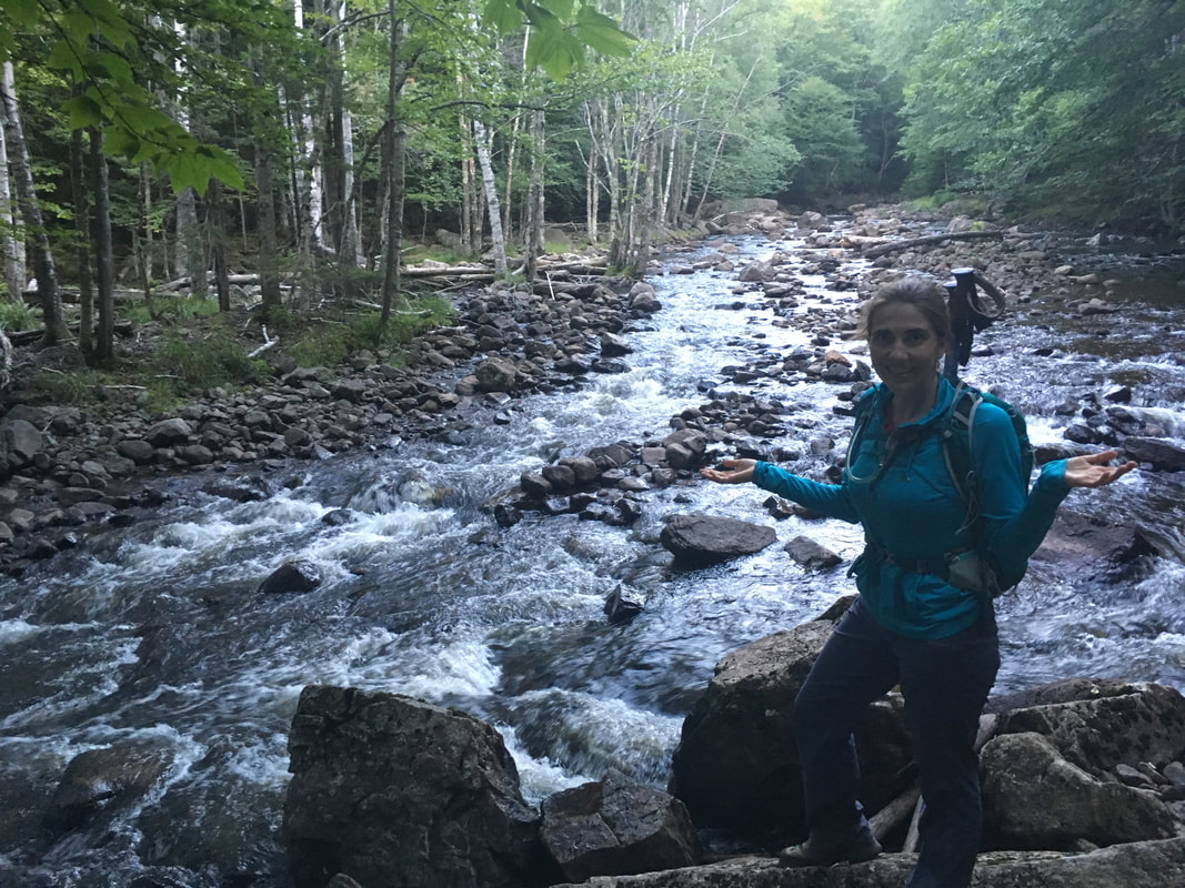
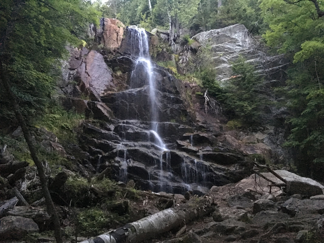
After 2 miles (1 hr, 40 min) on the West River Trail, we came to Wedge Brook Falls, a beautiful waterfall at the intersection of Wedge Brook Trail and the West River Trail. We took some time to filter water with our new Survivor Filter (amazing!) in order to stock our water bladders up for the following day's hike, and then began ascending the Wedge Brook Trail to find our campsite.
|
|
|
|
|
|
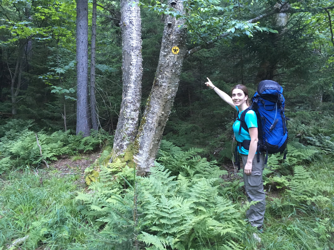
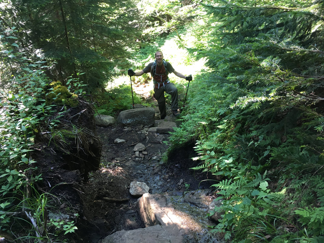
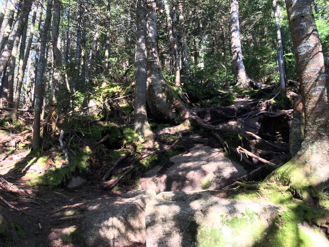
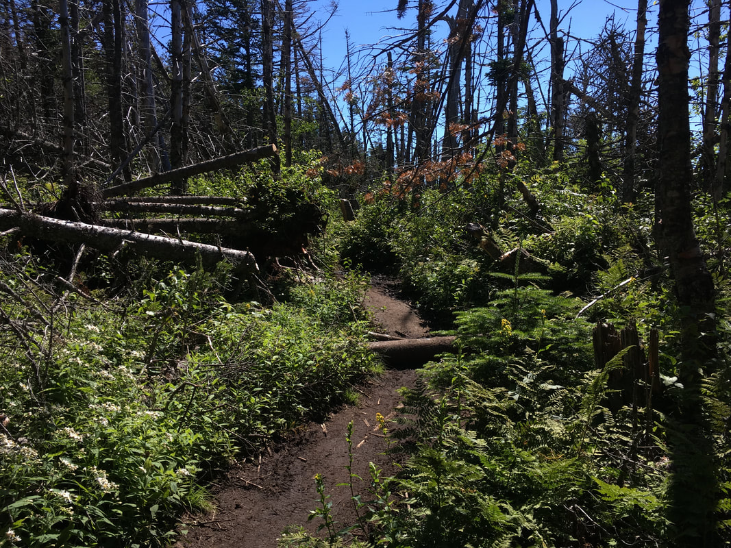
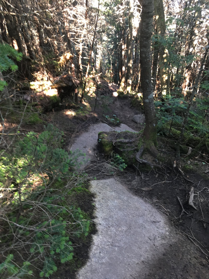
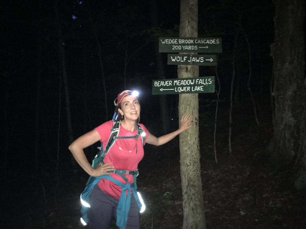
The Wedge Brook Trail is quite pleasant. It climbs semi-steeply for a bit, but then levels off nicely. At one point it feels like you are walking through a scene from Jurassic Park (it didn't help that Niels kept making little velociraptor noises while hiking behind me!). I half expected to see little dinosaurs zooming around the long grasses surrounding the trail. After about a mile, we came to signs that marked the end of the AMR easement and the beginning of state land. Whoohoo! We can camp! |
|
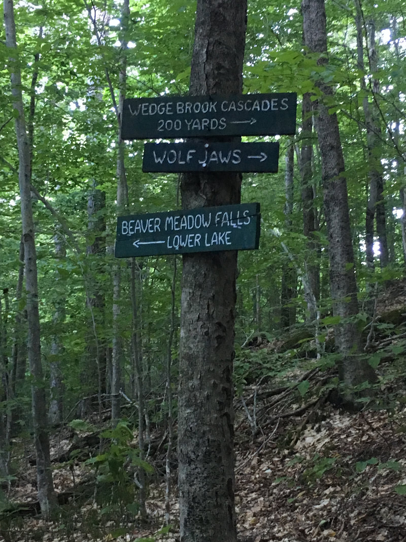
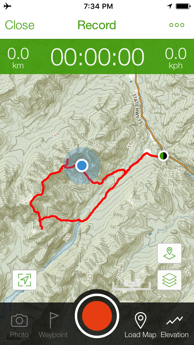
There are two designated campsites beside each other 1.2 miles up the Wedge Brook Trail, and they are clearly marked by little yellow tent symbols. I have also marked their location below (first map = far and second map = closer) since they are not really well known. I had trouble finding information about them before we left!
Niels in campsite #1
|
Shannon in campsite #2
|
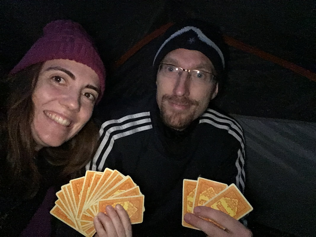
A little Canasta before bed!
|
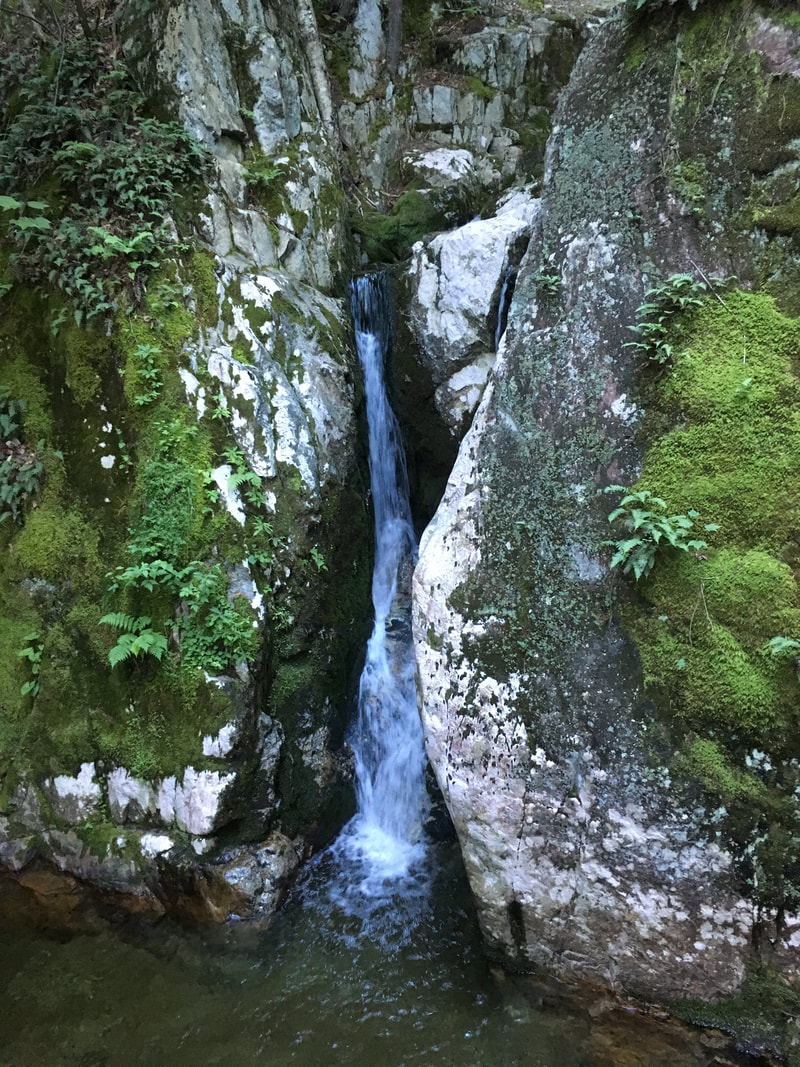
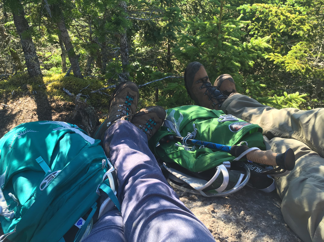
After eating dinner by the Wedge Brook Cascades (which parallel the trail), setting up our tent, locking food in our bear canister, playing some cards and getting all cozy in our sleeping bags, it was lights out for our 11 mile hike tomorrow! Goodnight! |
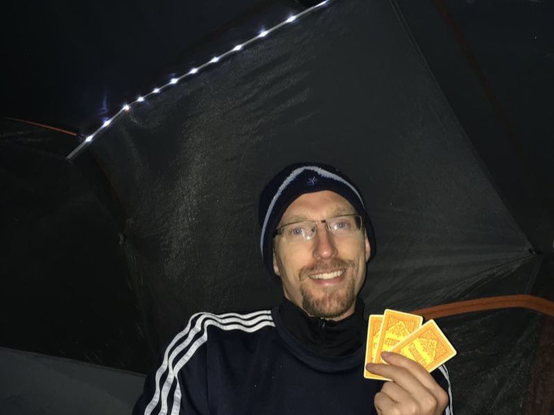
Yes, our tent has LED lights in it.
Pure luxury!
|
Hiking the Lower Great Range
We were on the trail by 7:30 the next morning, which is a serious first for us! It helped that we couldn't hit the snooze button, shower, or eat a warm breakfast. That, and the fact that we were literally 2 meters from the trail...
Goodbye little tent! Please be here when we return!
|
Niels on the trail up to Wolfjaw Notch.
|
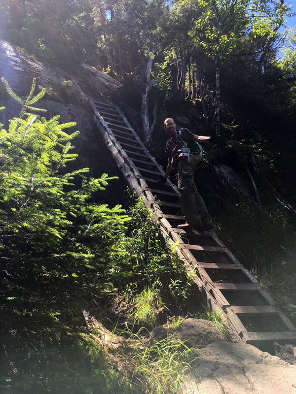
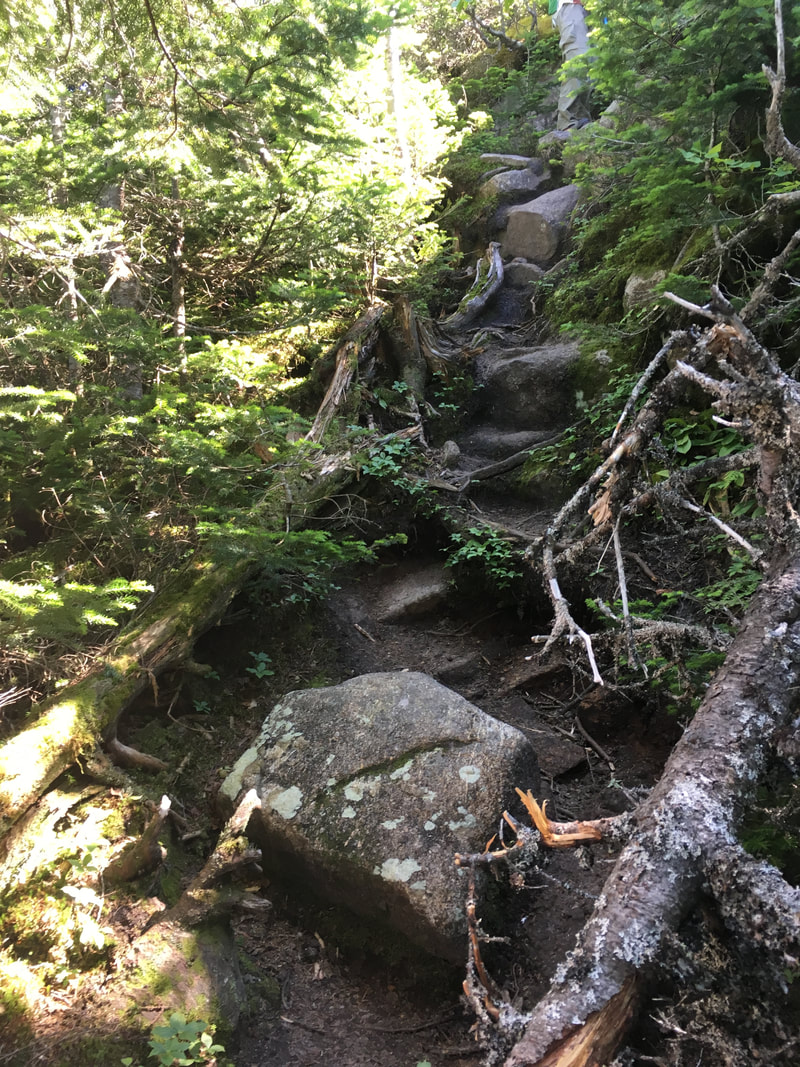
The 0.4 miles on the Wedge Brook Trail up to Wolfjaw Notch was steep and we began to use our new hiking poles. Our knees (especially one of mine) had been acting up on our last two hikes, and I wondered if hiking poles would help. Spoiler Alert: THEY DO! I did not feel my knee hurt the entire hike! What a difference they make! If you are a hiker - get some poles!!!!
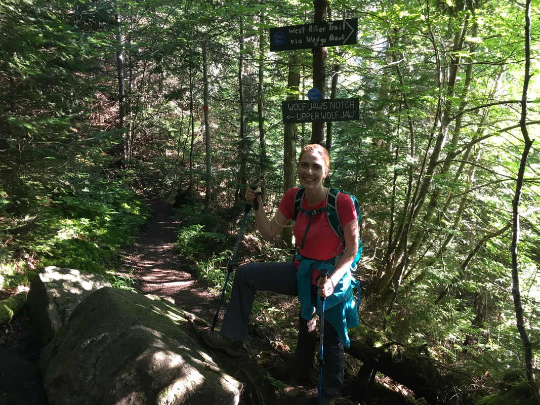
Lower Wolfjaw Mountain
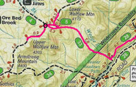
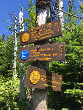
The trail to Lower Wolfjaw can look confusing on the map. There is basically a little triangle of trails, with "Wolfjaw Notch" being the intersection that I circled in black (map to the right). It's confusing because at each of those little trail intersections, there is a clearing with different signs, some of which are very misleading. For instance, at the first clearing we came to (photo below left) the sign right above my head seems to announce that we are at Wolfjaw Notch and that Upper Wolfjaw is down that nice little trail. NOPE! That sign is pointing you across the trail you see in the photo to another trail extending off to the left... and it's trying to say that Wolfjaw Notch and Upper Wolf Jaw is that way. Sigh. My suggestions is to just study the map well before you leave and know if you need to take a left or a right at each intersection.
First clearing: trail to LWJ is the one you see in the photo
|
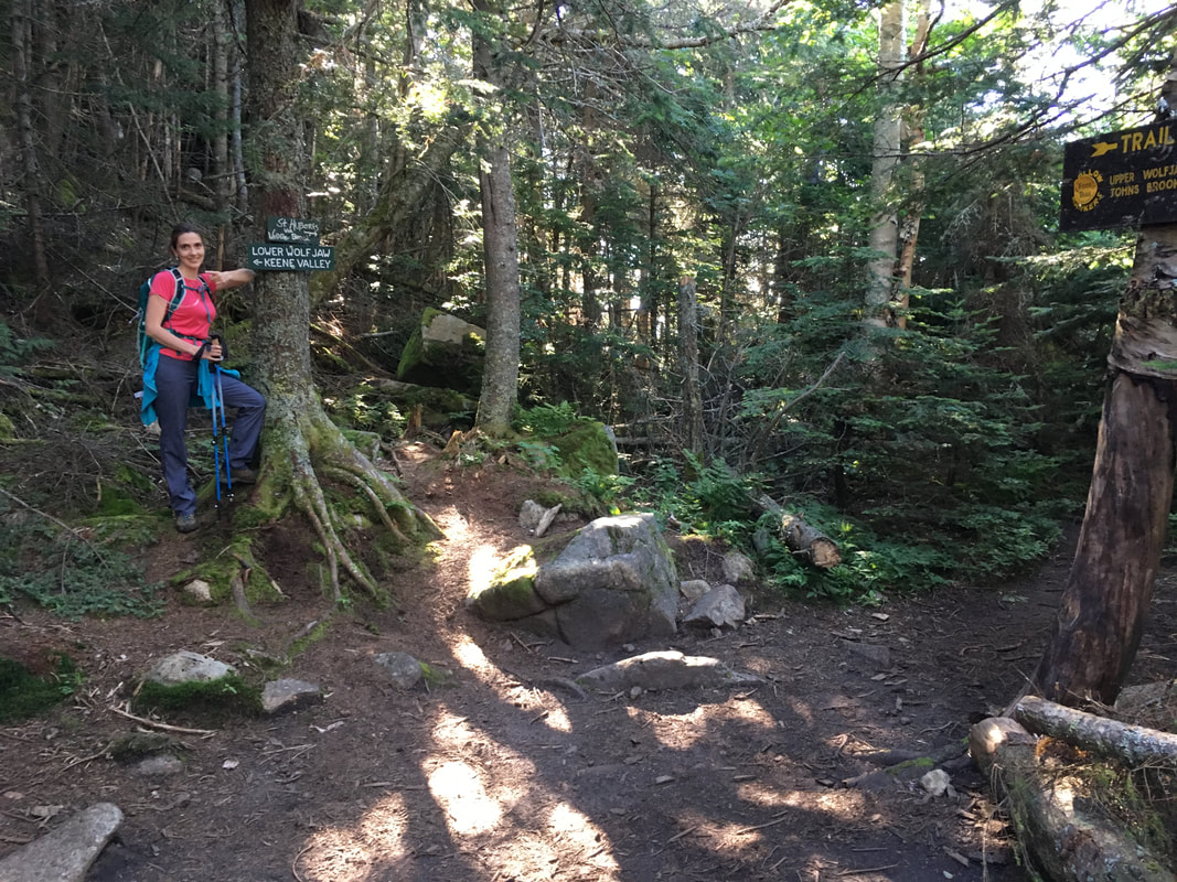
Second clearing: I am pointing to the trail to LWJ
|
I did not like climbing Lower Wolfjaw. It was steep, rocky and didn't end in a fantastic view. Out of all the mountains we climbed that day, I was the most breathless on this one (which made me seriously question if we could even do the Lower Great Range... Mountain #1 and I am struggling this much?!?).
Luckily, it's not that long before you summit (although it feels longer!), and before you know it you come to a little rock and a partial clearing.
View from LWJ
|
Lower Wolfjaw, 4175 feet, #30 in height
|
The little summit rock
|
Upper Wolfjaw
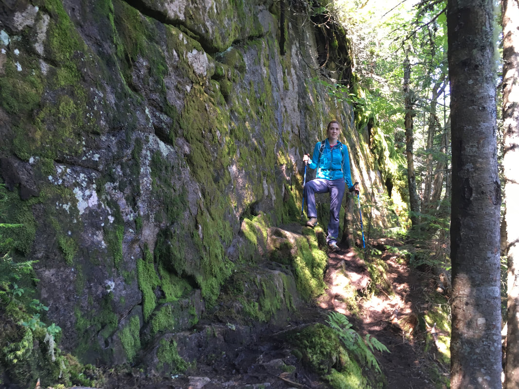
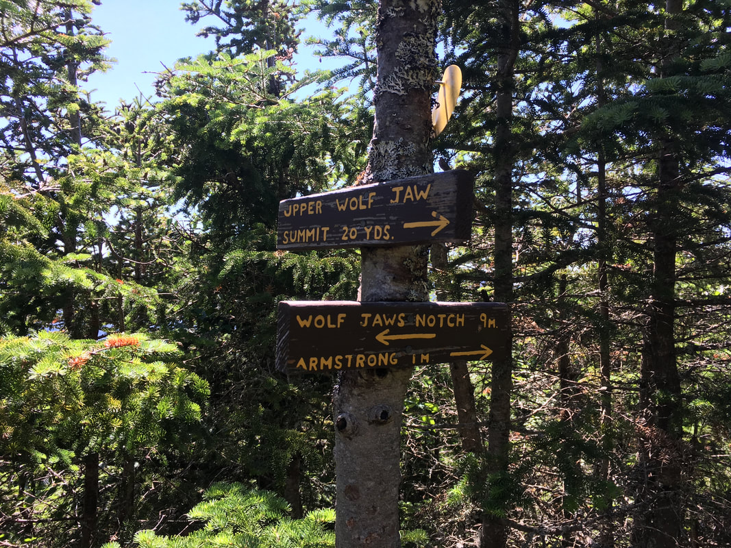
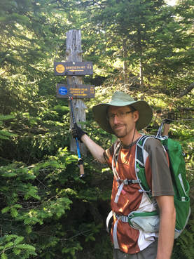
After the steep trek down from Lower Wolfjaw (0.3 miles), you come to another clearing and then you walk 0.2 miles farther to a big intersection (the REAL Wolfjaw Notch) with the trail up from John's Brook Lodge. This is where you meet the Great Range Trail (#4) that will take you across Upper Wolfjaw, Armstrong and Gothics (and then further if you are crazy enough to continue onto the Upper Great Range!) . As you climb Upper Wolfjaw, you do ascend quite a bit so the trail is steep in parts. That being said, it wasn't as bad as Lower Wolfjaw in my humble opinion!
A loose sign!
|
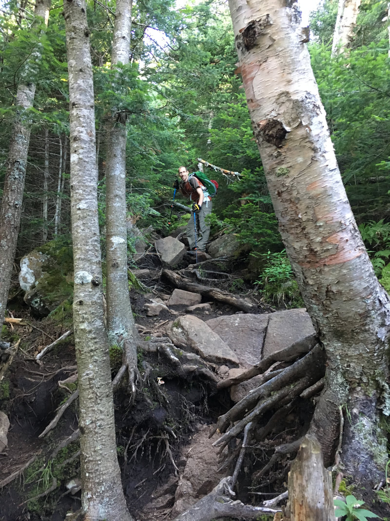
Lots of scrambling up rocks
|
Lower Wolfjaw - we just climbed that!
|
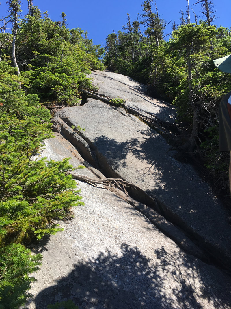
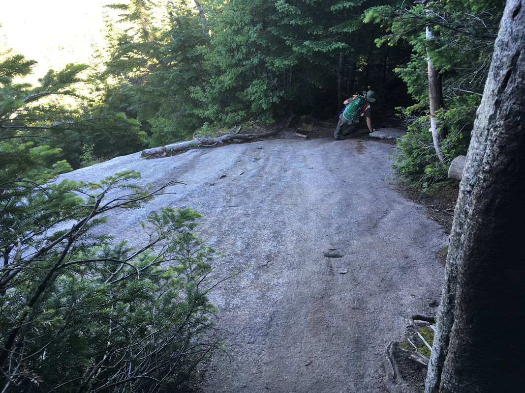
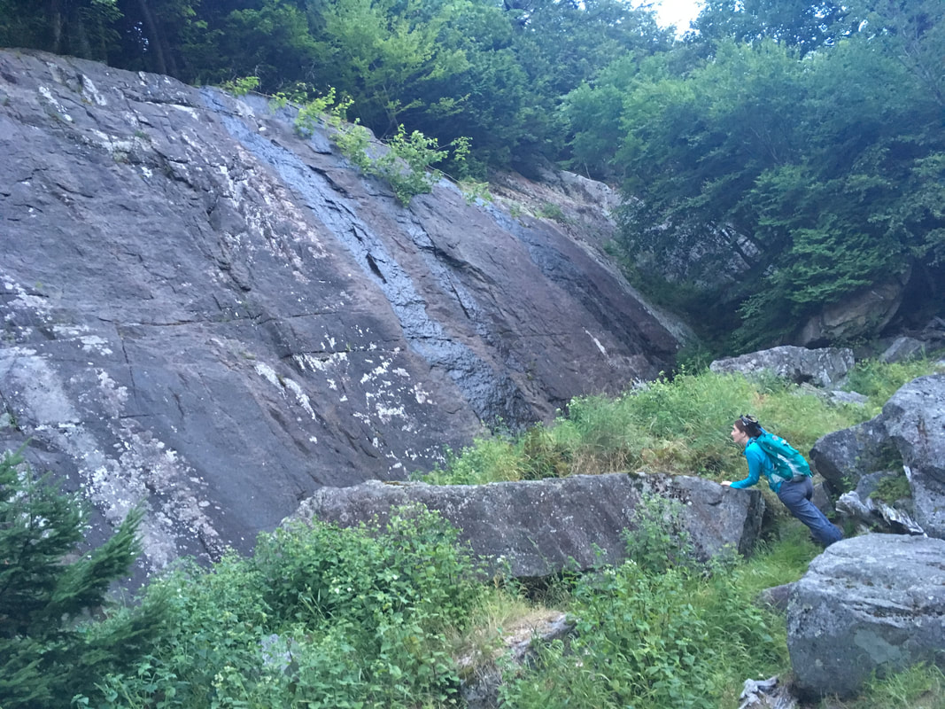
In general, the trails we took were all VERY well labelled. The only time we ever questioned anything was ascending Upper Wolfjaw, when the trail suddenly came to a T-junction with the massive rock pictured below. There were no apparent indications of which way to go, so I explored right for a bit while Niels explored left for a bit. There were no immediate trail markers in either direction! And there were footprints in both directions, so obviously we weren't the only ones who questioned the path at this point. Eventually, Niels found a trail marker and called to me. We met back at the original intersection, and only then saw a very faint yellow arrow pointing left (photo below right). Sigh.
A wall of rock. Which way?
|
Can YOU see the yellow arrow?
|
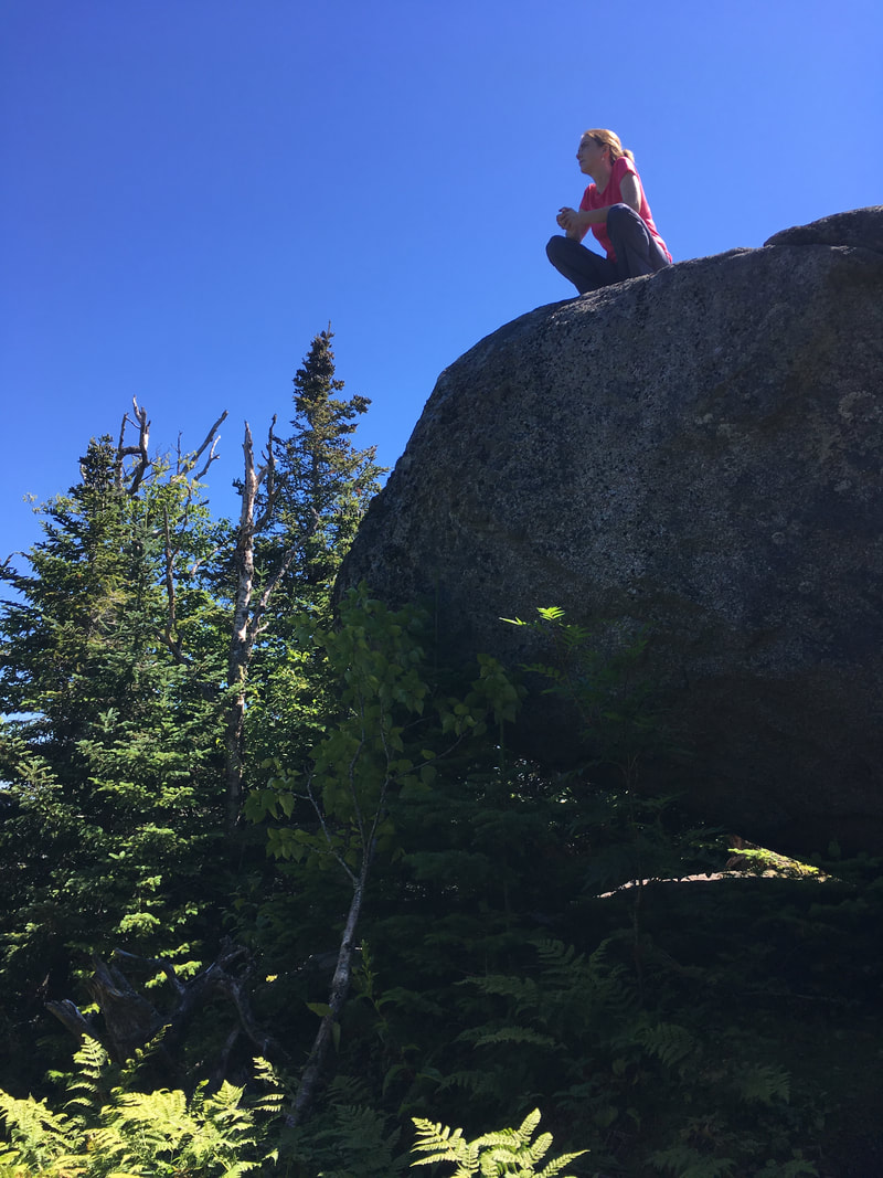
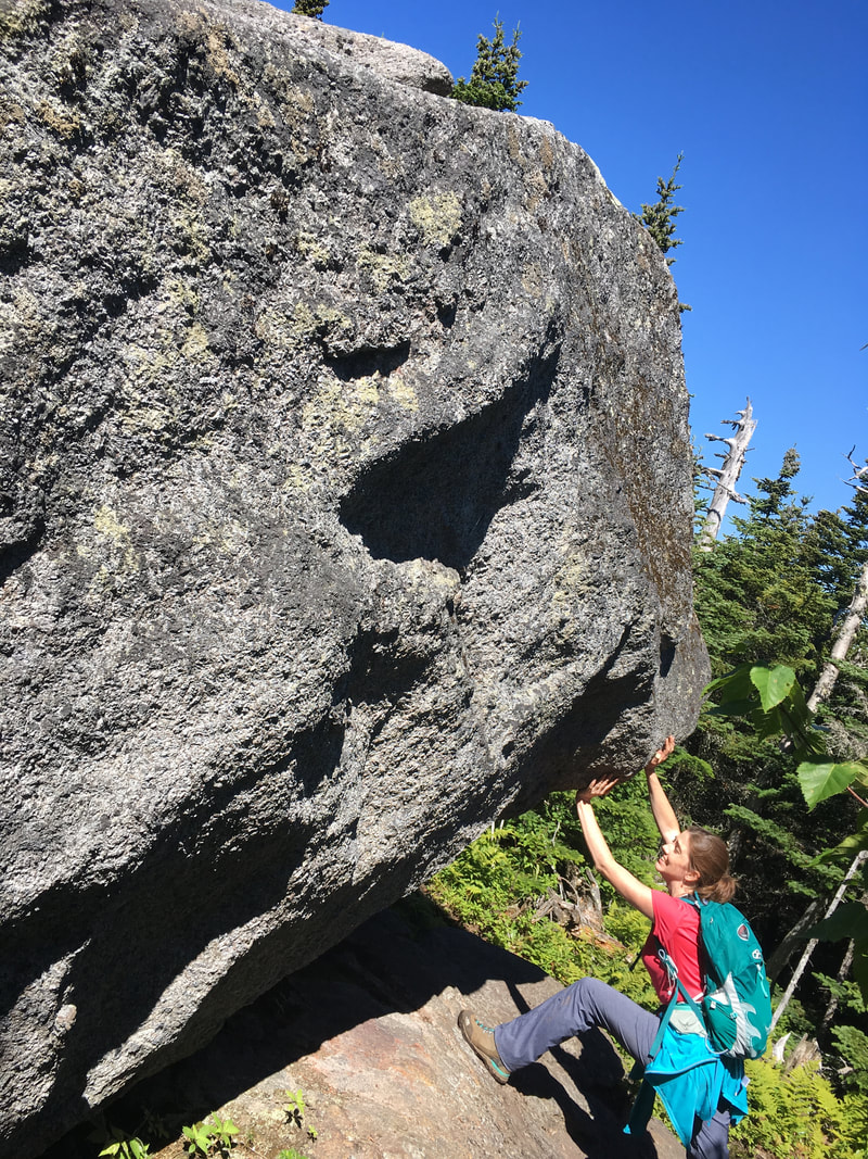
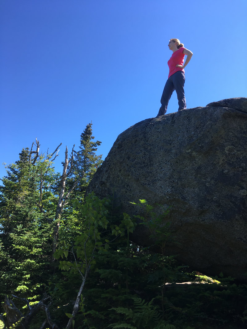
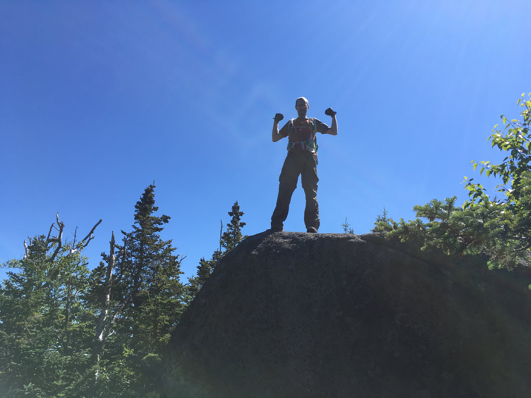
Upper Wolfjaw has a false summit. I would not have originally thought that it was a summit, although it has some great views and immediately after it, you start descending a lot. Luckily, it is characterized by a huge glacial erratic so it is easy to distinguish as a false summit. Of course, we had to have some fun... maybe this is why our hike times are so slow!!!
|
|
|
As you can tell from the photos below, after the glacial erratic, the trail descends and then levels out quite nicely. There is a sign pointing to the real summit, and from there it is a quick scramble up to a nice view.
|
|
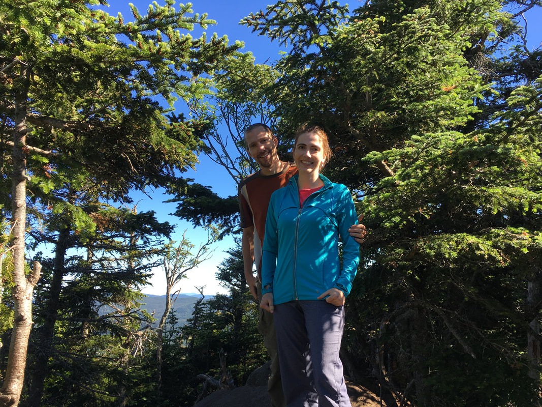
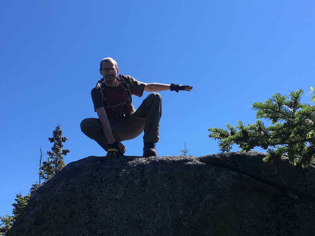
At the summit of Upper Wolfjaw, we met a lovely man named John and we chatted for a while. Niels asked him how many high peaks he had done, and he responded "I'm on my eighth round." Well, you know that saying 'I could see the wheels turning?' I literally could see the gears turn as my husband processed this information... not his eighth peak, but his eighth round of the 46 High Peaks. W.O.W. We asked for a picture and gave him props. We now call him Johnny Eight, and think he's pretty cool.
Upper Wolfjaw, 4185 feet, #29 in height
|
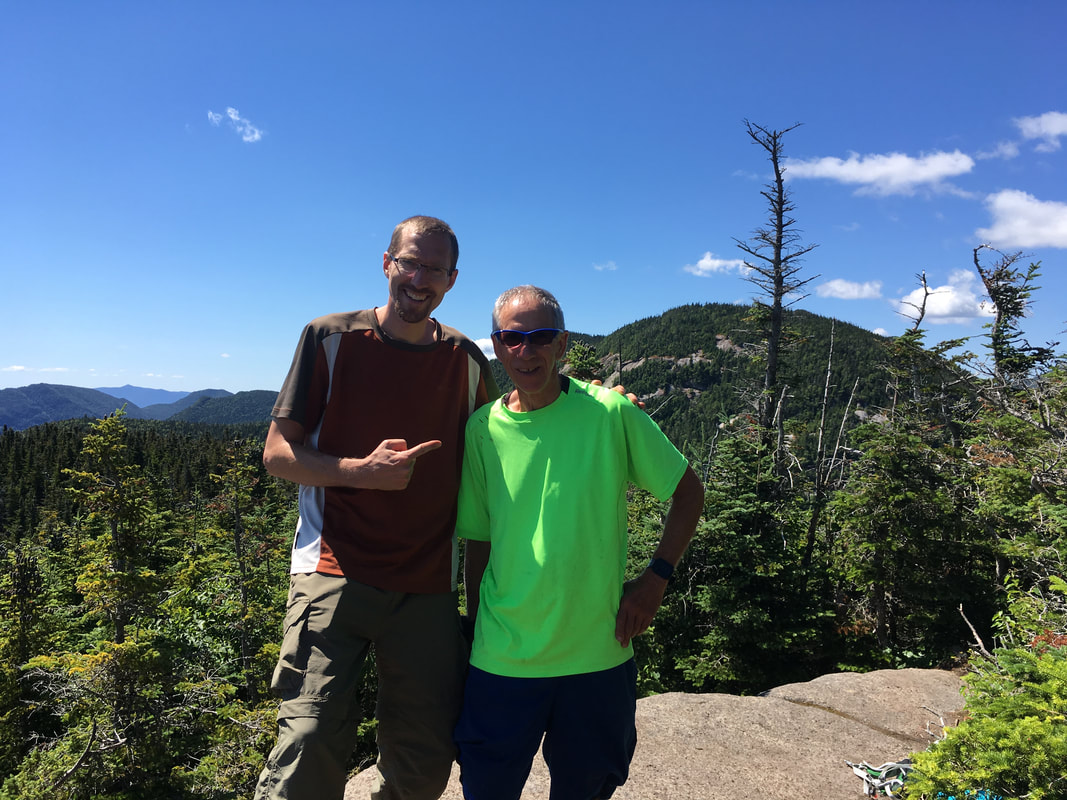
8 x 46 = 368 High Peaks!!!
|
Armstrong
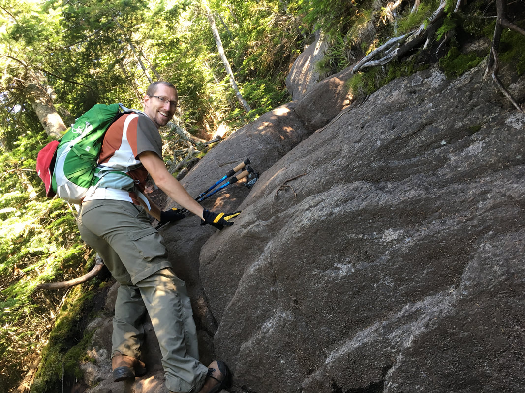
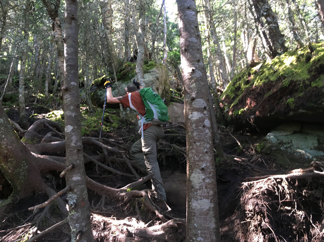
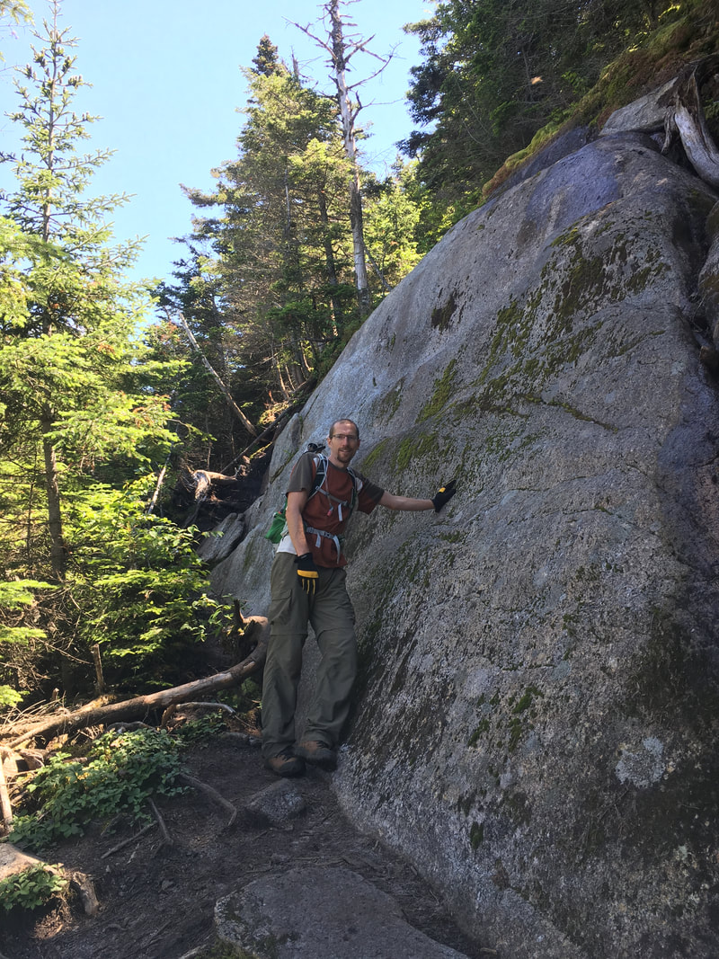
People kept telling us that the trail to Armstrong involved "some crazy fun scrambles" or "some difficult but fun" parts. To me, this seemed like an oxymoron, and I really didn't know what to expect. This particular part of the trek was why we chose to do the traverse in the direction from UWJ to Gothics, and not vice versa. I would much rather be going up the difficult, steep parts than trying to come down them. The ladder up Armstrong was fun, and there were some huge rocks that had little footing. Niels had to literally boost me up by letting me step on him... what a great husband he is :-) In retrospect, the trail WAS both difficult and fun!
|
|
|
|
|
|
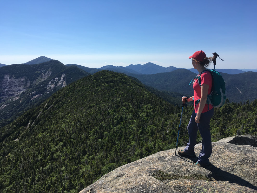
It was about 20 minutes or so before the summit of Armstrong that we met a solo hiker and stopped to talk. We both remember him clearly as he was playing music from headphones, a rarity while hiking. He was sweaty and exhausted. We chatted for a bit and then went on our way. I have replayed that encounter so many times in my head to see if we missed any warning signs of the impending tragedy to come, but the hard reality is that we meet a lot of sweaty out-of-breath hikers in these parts. His speech was coherent and he could hold a conversation, he didn't have to sit down and he looked prepared with proper hiking gear, water and hiking poles. After our brief encounter, we parted ways and after another 20 minutes, we hit the summit of Armstrong at 1:15pm - which was much more beautiful than others report it to be!
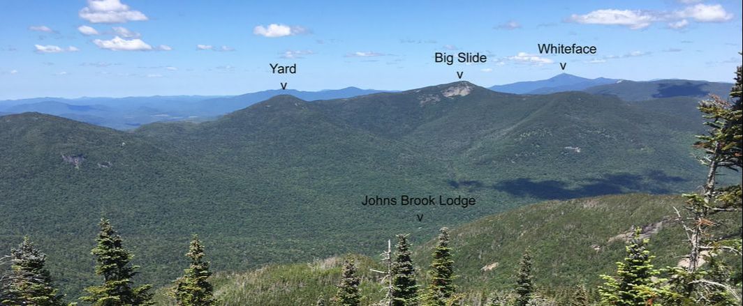
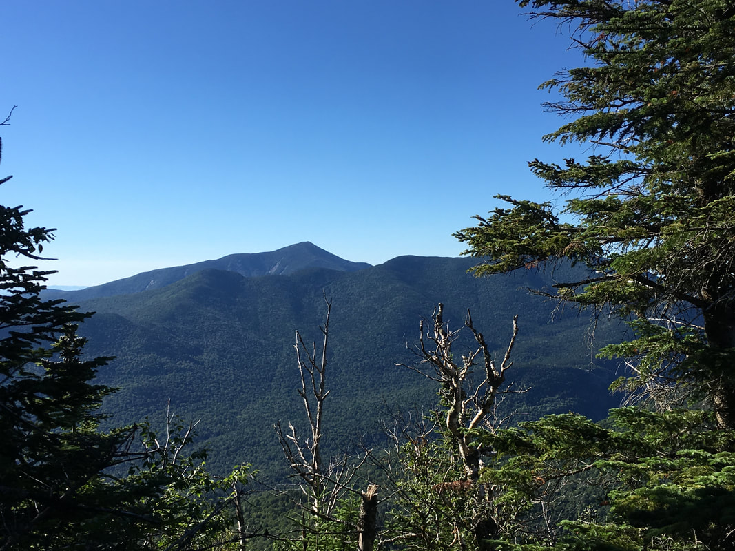
Looking left, you can see great views of Yard, Big Slide and Whiteface from the summit of Armstrong. We've stood on the peaks of all those mountains! You can also see the green roof of Johns Brook Lodge! Looking right, you can see Gothics, Haystack, Saddleback and Marcy (photos below).
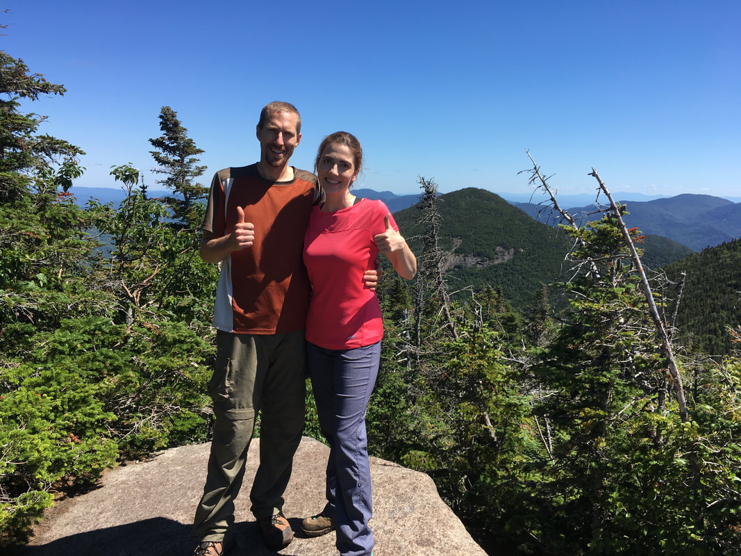
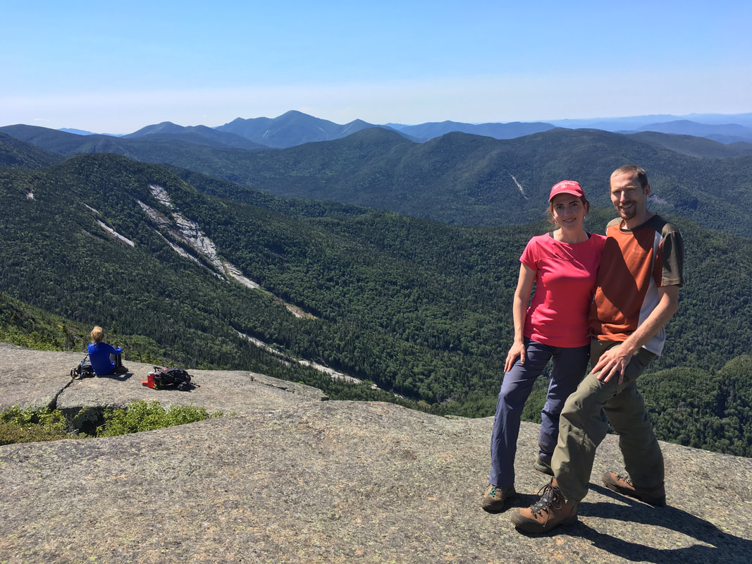
Armstrong, 4400 feet, #22 in height. This is our tenth peak together!
|
My ultimate playground...
|
Gothics
|
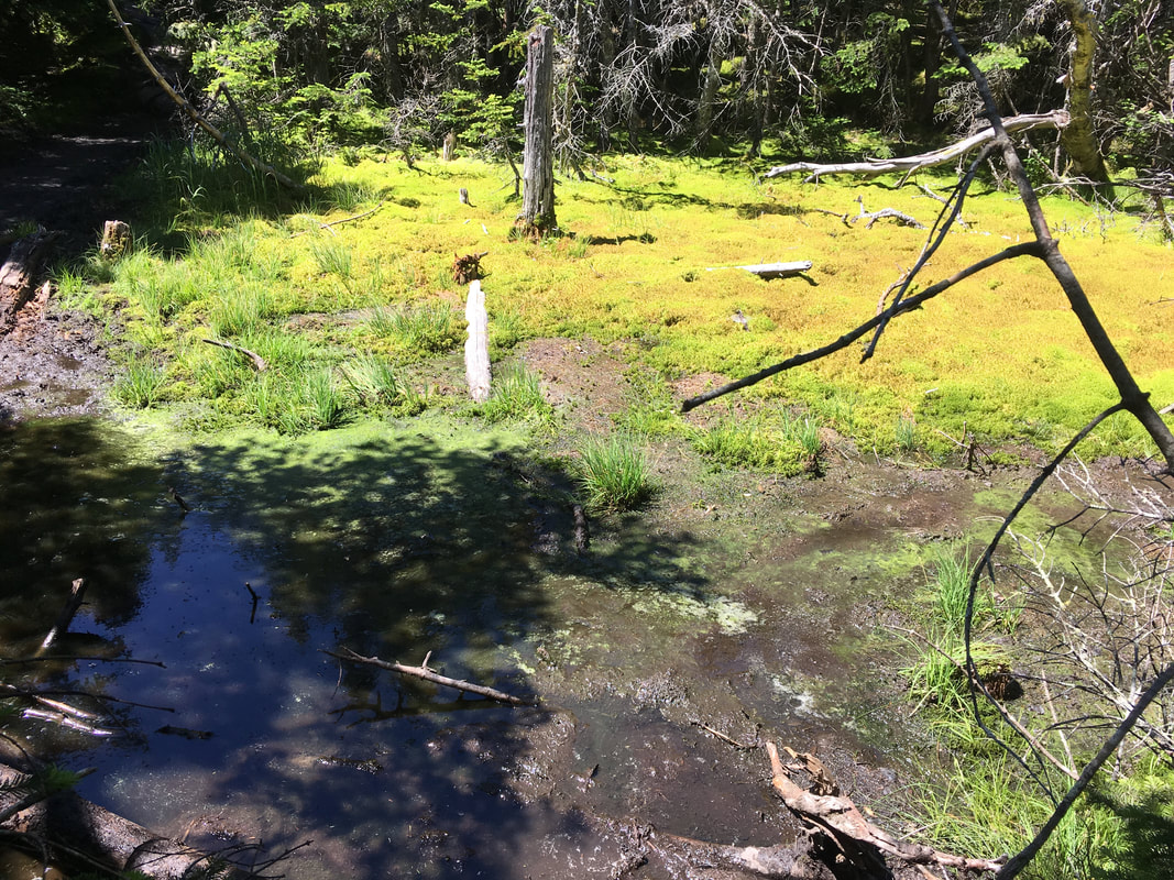
The hike from Armstrong to Gothics is short, fairly level and easy. It was also very muddy! At the col between the two mountains, you come to a main intersection that is well signposted. This is where you can descend early via the Beaver Meadow Falls trail and head out if you are not making good time, are tired, or are out of water. At this intersection, we met two female hikers doing the range with their huge overnight packs on! Wow - made me thankful for my light little day pack. |
|
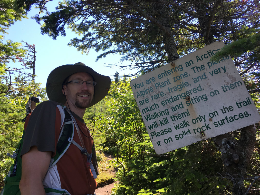
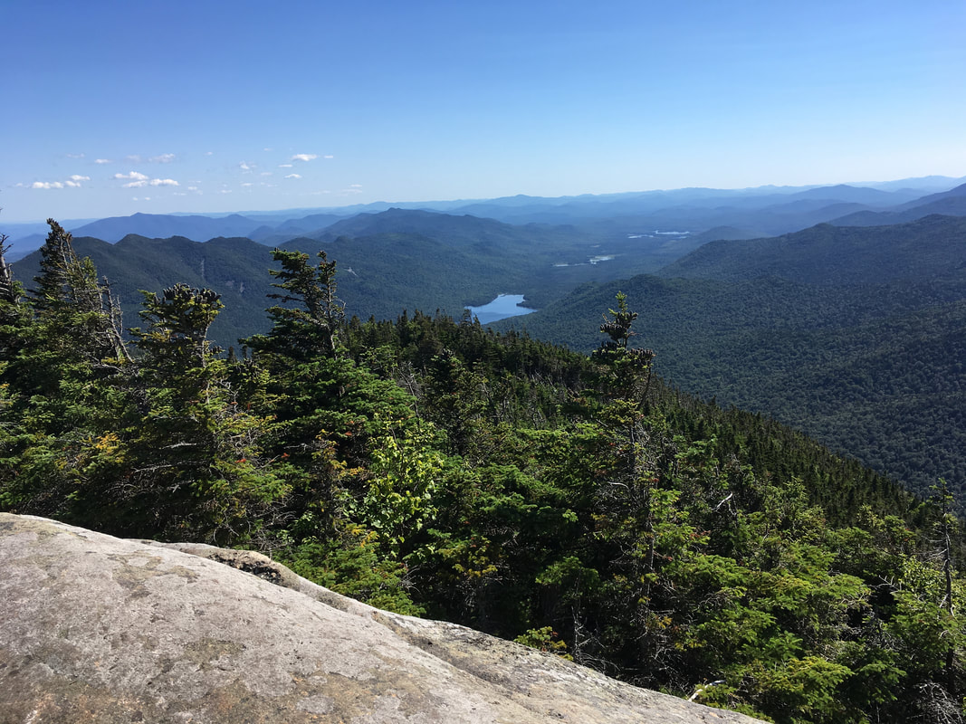
After the col, we passed a bog (!!) and then the classic sign announcing that we were entering the Arctic Alpine Plant Zone. After a quick ascent you are at the top of the tenth highest ADK High Peak. What views!
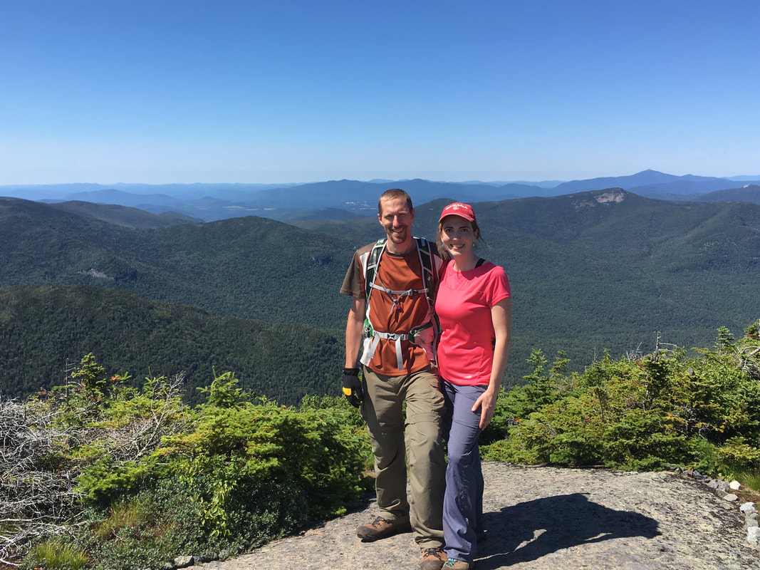
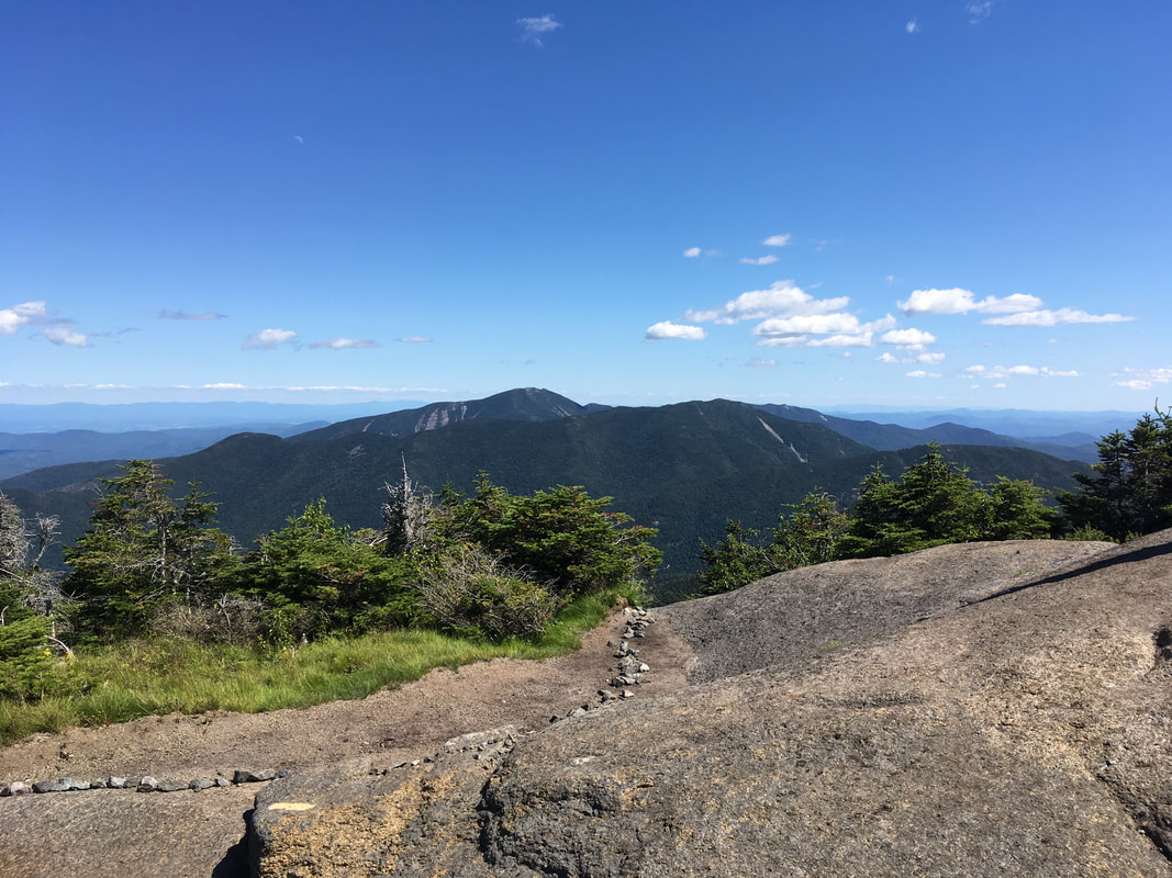
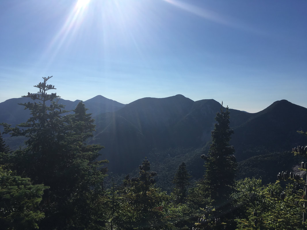
I'm glad that we took the opportunity to do the Lower Great Range when we learned that we would have near perfect weather this weekend. You can see the five highest ADK peaks from Gothics (Marcy, Algonquin, Haystack, Skylight and Whiteface). The views are just astounding! Click here for a 360 degree panorama and my attempt to name the mountains!
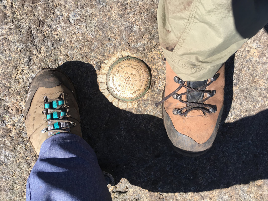
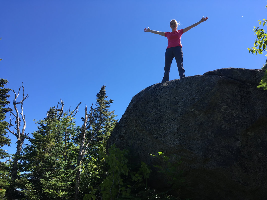
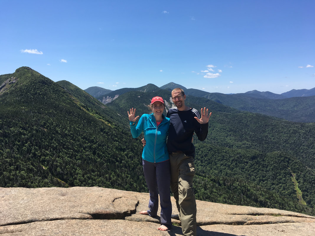
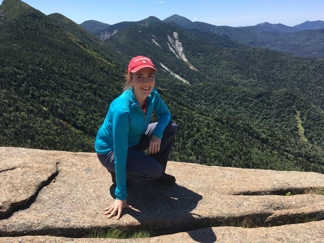
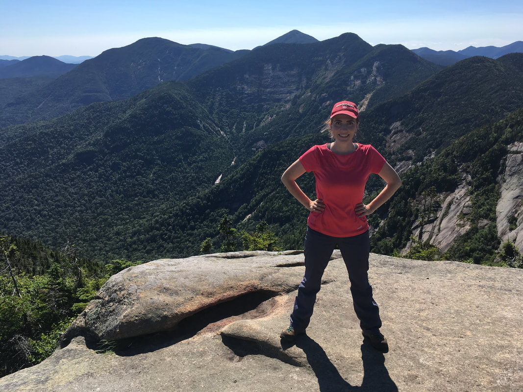
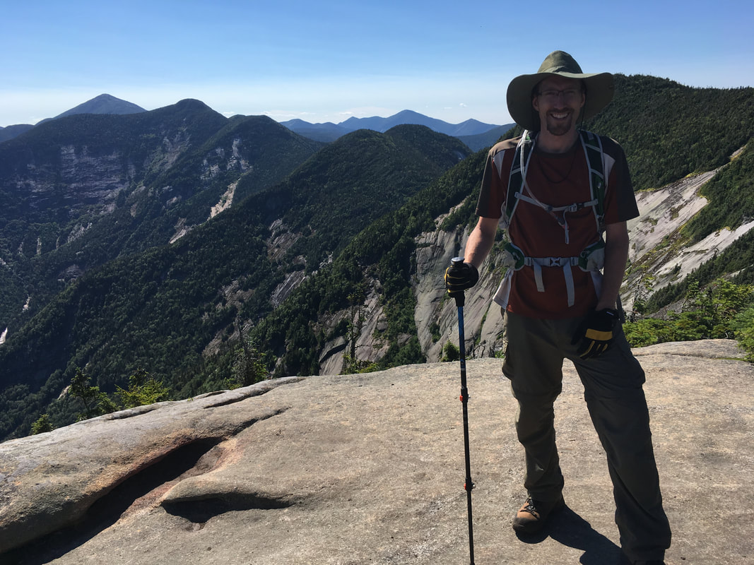
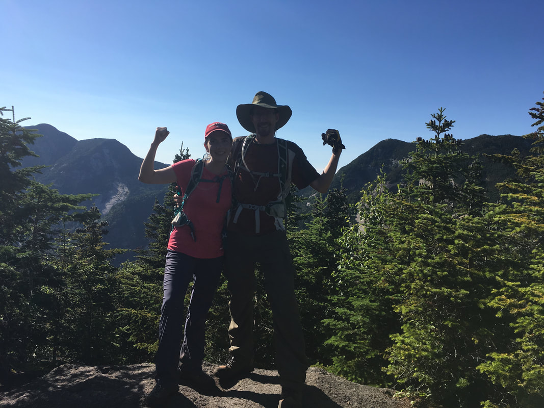
Gothics, 4736 feet, #10 in height
|
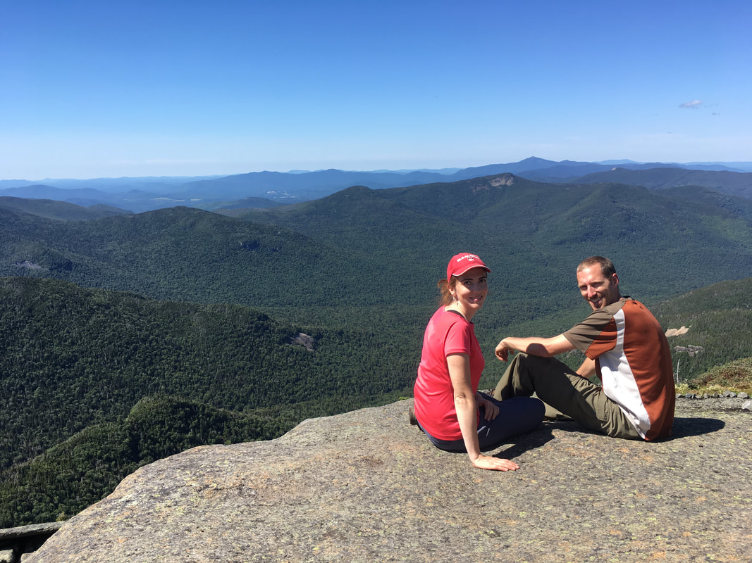
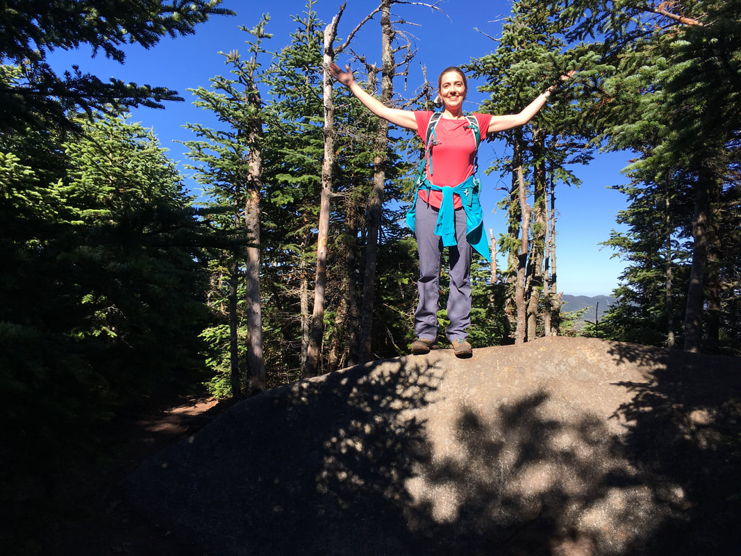
Enjoying the views. We don't rush our summit time...
|
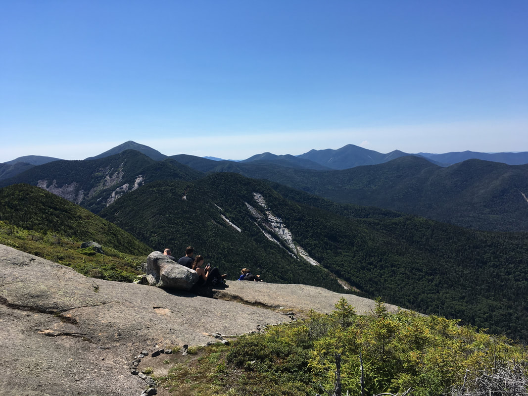
We had trouble leaving Gothics. What a beautiful day to be on top of the world! This is why we hike: a 360 panorama of just mountains and sky. Wow. Just wow. After a final goodbye, we began to head towards Sawteeth, via Pyramid Mountain.
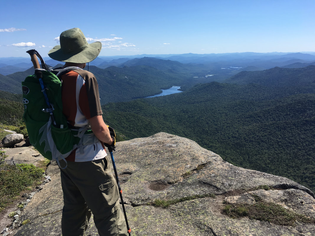
You can see Upper Ausable Lake in the distance!
|
Such an immediate view of the Upper Great Range!
|
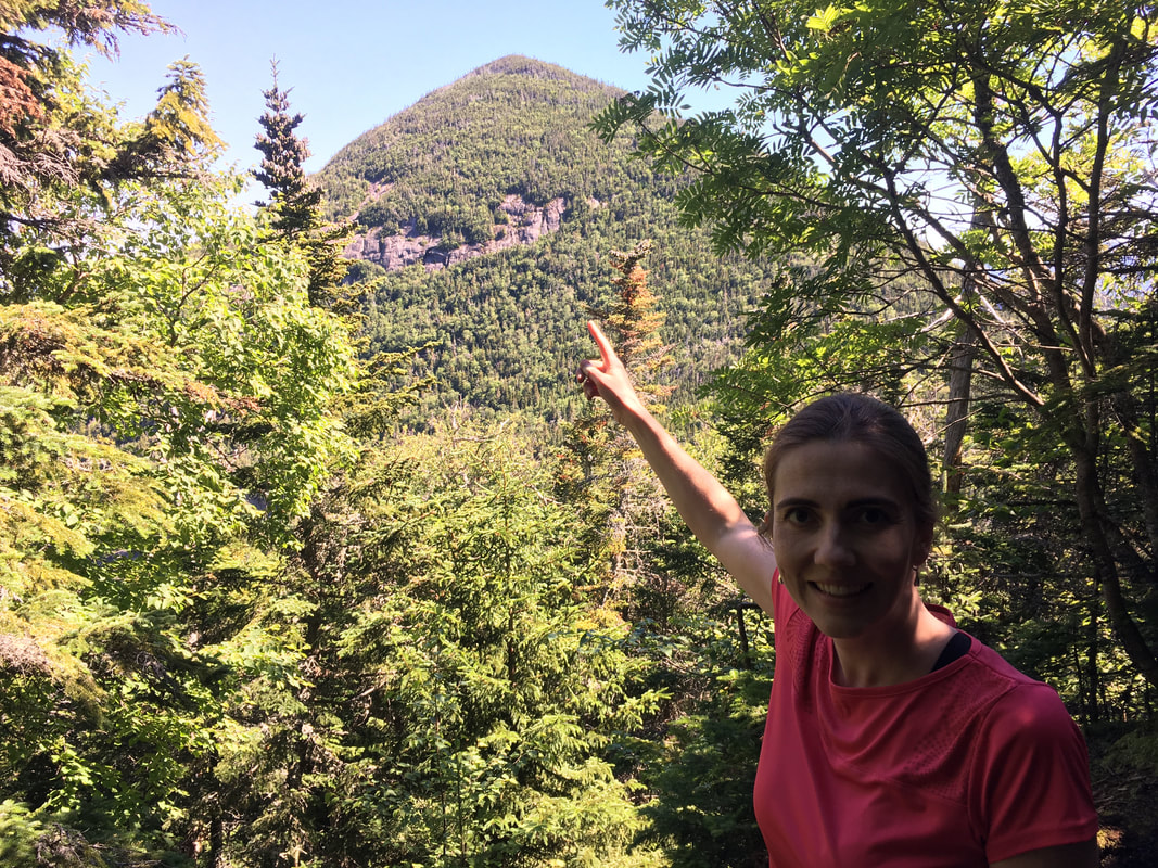
Pyramid
The whole reason we chose to do the Lower Great Range from the AMR gates (rather than John's Brook Lodge) was to include Sawteeth. It's so close to Gothics, and the approach to Sawteeth via this route is much easier, fits into a nice loop, and is much shorter than the other approach (in other words, it's a one mile detour rather than an almost 3 mile detour, or a separate 12 mile round trip hike from the AMR gates). To get to Sawteeth, you need to summit another 4000 foot peak, Pyramid, that sits between Gothics and Sawteeth. Don't worry - it looks much more intimidating from afar than it was to actually climb.
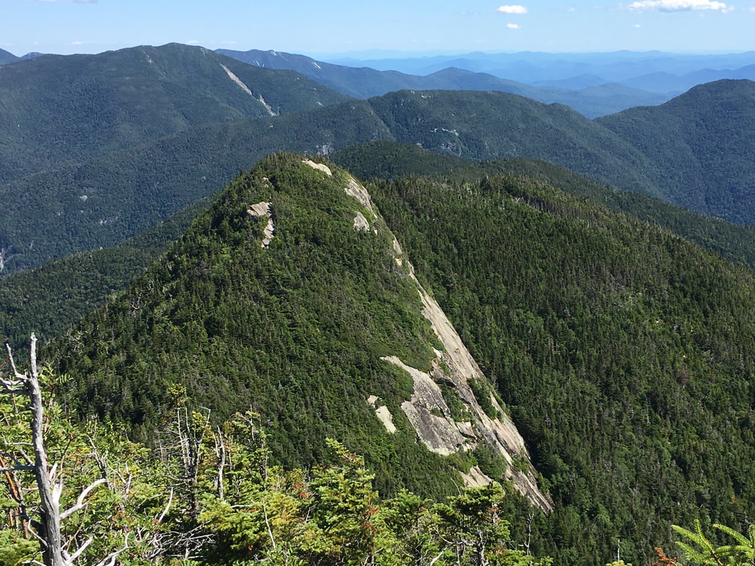
Pyramid, as seen from Gothics
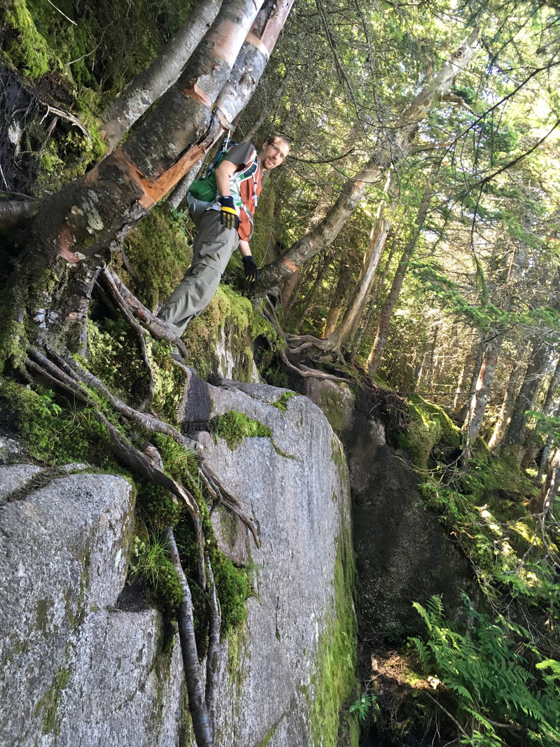
The way down from Gothics involved some "bum sliding" (I think that's the technical term?!?) and the way up involved using and abusing some tree roots to pull us up some of those steep rock faces. However, the summit of Pyramid is only 0.3 miles away from the summit of Gothics. You can do almost anything for only 0.3 miles...
|
|
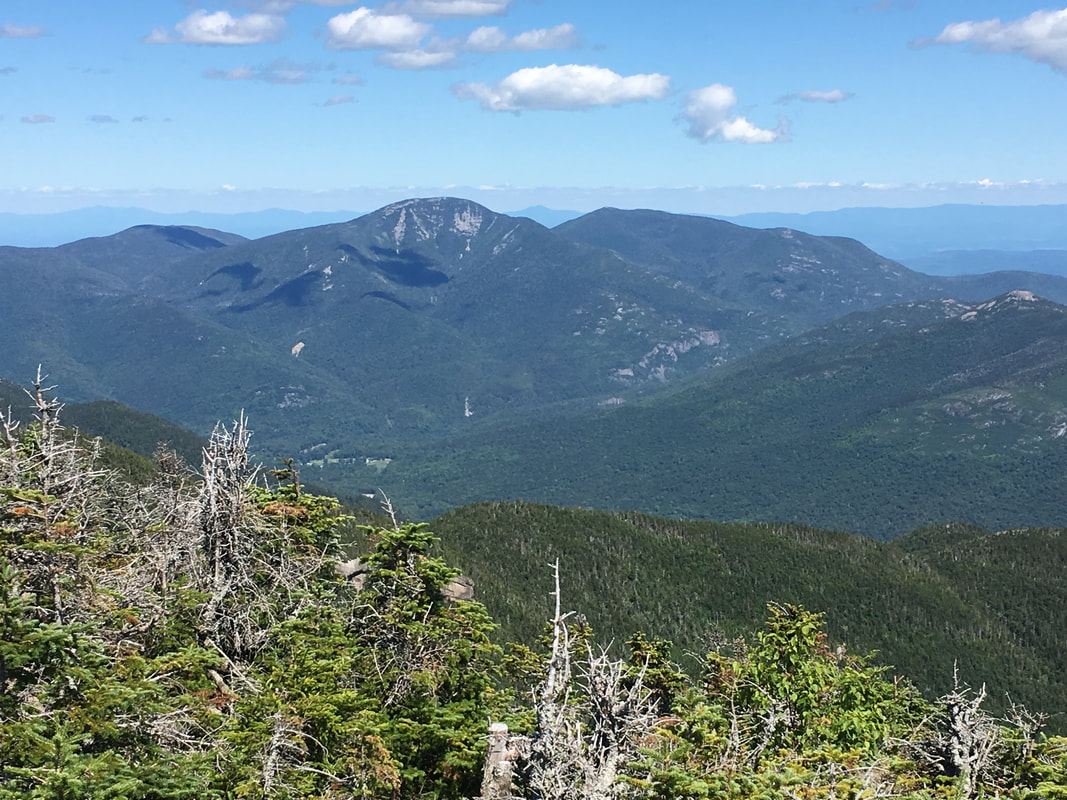
For an Adirondack peak to be considered its own, a certain set of criteria must be kept. Each peak must be at least 0.75 miles from the nearest higher summit and it must have at least 300 feet of rise on all sides. Pyramid falls short of this by 0.45 mile and 79 feet, thus not counting as an official high peak. That being said, the views from Pyramid rival the best in all the Adirondacks. They are also surprisingly different than the views from Gothics. Almost all of the Great Range can be seen up close from it's summit as well as many of the rock slides on the surrounding peaks. In short, it's astounding.
|
View of the Great Range from Pyramid
|
|
And then there was more bum sliding to get down the other side...
SawteethWhen we got to the intersection of the trail to Sawteeth and the Weld Trail (that would start us back home) it was already 4:45pm. Doing the math of hiking time/hour, we knew that climbing Sawteeth would bring us back to our tent after dark. But we were here, still had daylight to summit and return... and well, we actually still felt great.
The climb up Sawteeth from this junction is only 0.5 miles one way, and in general it was relatively easy. We climbed it fast as we knew that time was not on our side. At the top, we did take some time to relax... and eat another darn avocado... |
|
Sawteeth, 4100 feet, #35 in height
|
A rest and a snack
|
Goodbye high peaks, goodbye...
|
At this point we were very content that we had accomplished our goal of six peaks in one day, and also very aware of the time. We started our descent of the Weld Trail at 6pm, fully aware that we had another 4.5 miles back to our tent. I can't tell you too much about the Weld Trail as we were booting it! It did criss-cross the Cascade Brook several times. We only stopped when we arrived at the top of Rainbow Falls. I posed by the fun sign: "Stay back from edge. Don't be a drop out!"
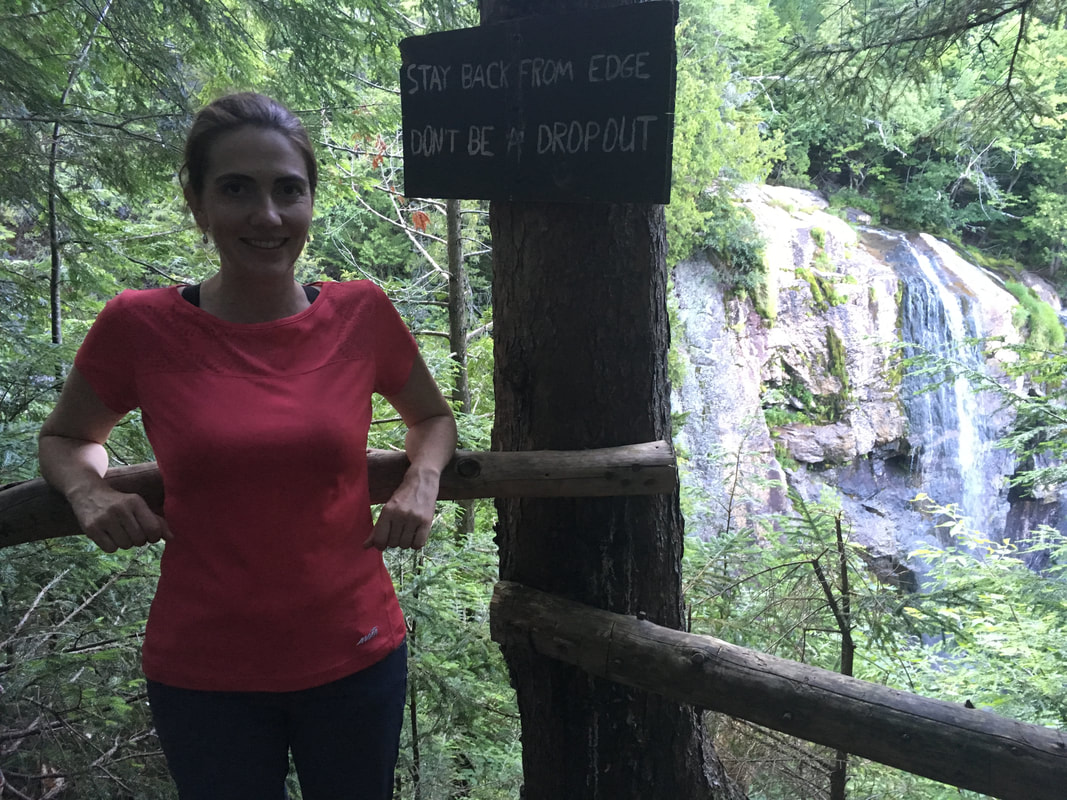
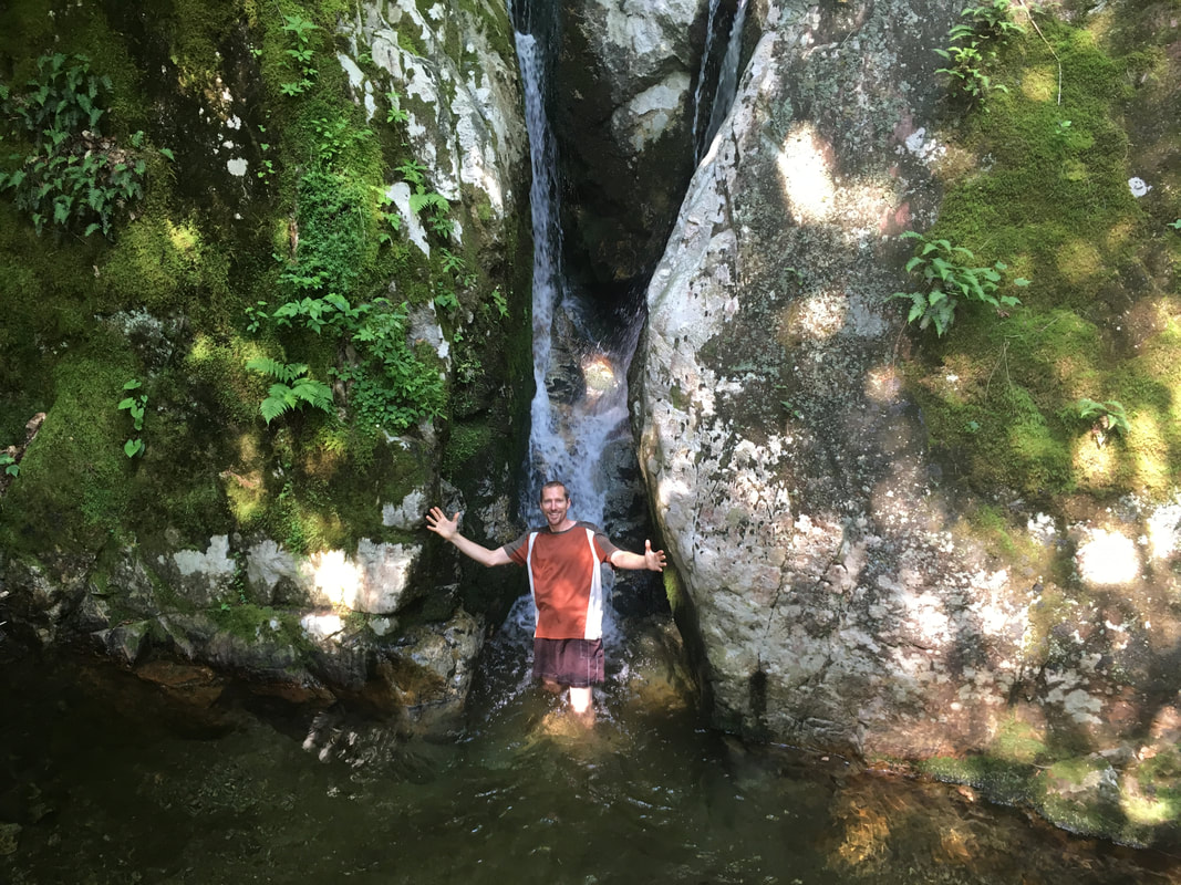
I had heard that the side trip to the base of these falls was quick and worth it. That being said, it was almost 7:30pm and we were rapidly losing light. But we were so close! We decided to just see what was around the corner... and what can I say? When you see this sign, take the detour!!!! It's worth it!!!!
Click here for a short video of Rainbow Falls.
|
|
|
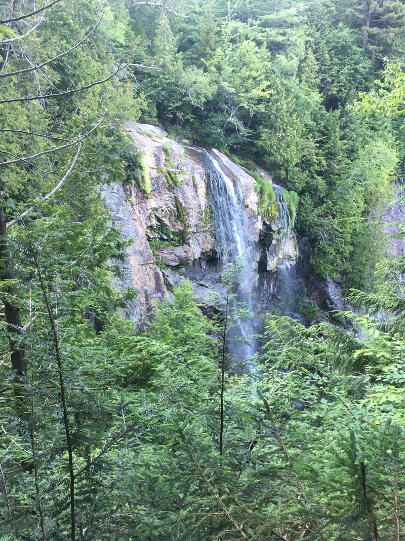
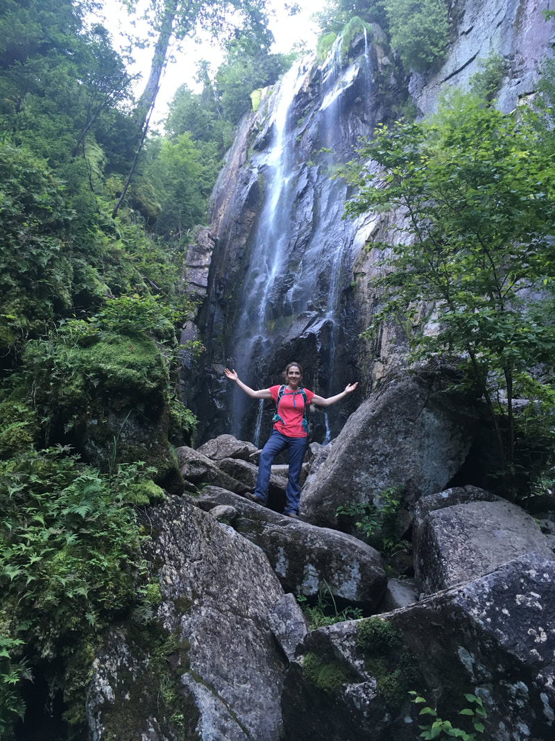
When we saw the sheer majesty of these falls, felt the refreshing mist on our faces and heard the thundering roar of their waters, Niels and I instantly knew we had made the right decision to take the detour. "We'll be back here. We will." Niels said with authority. I quite agree, and now know why so many people make the 9.4 mile round trip just to see these falls. We spent more time here than we intended: enjoying the view, having our third dinner of the evening, and filtering some water for the next day.
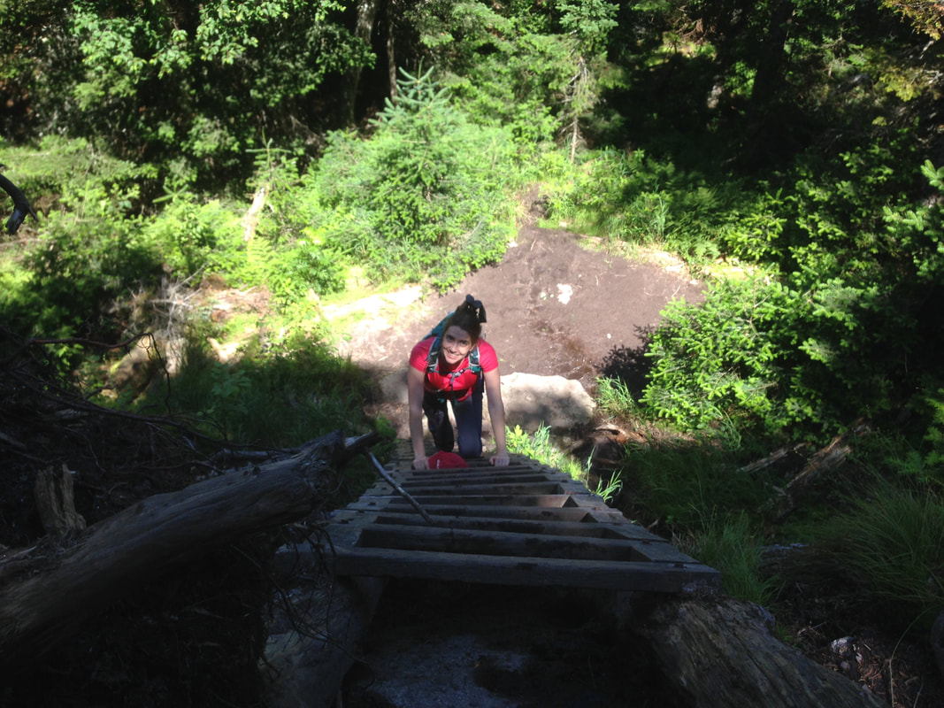
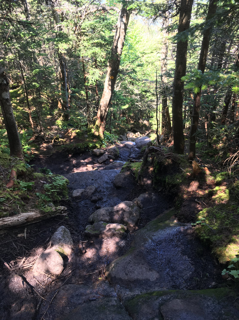
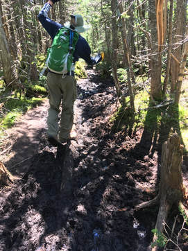
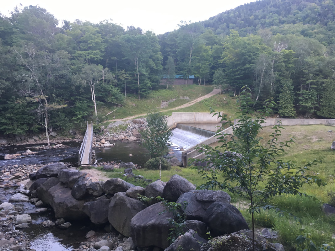
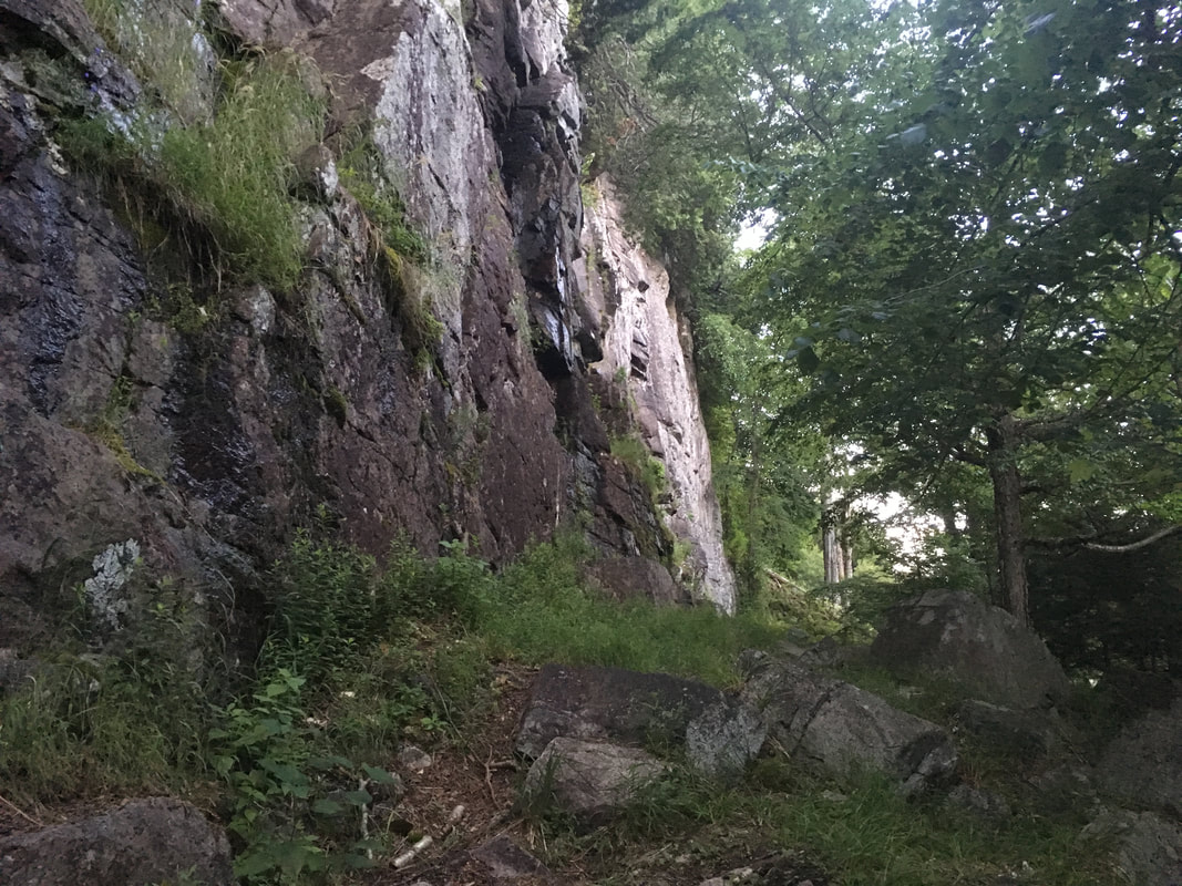
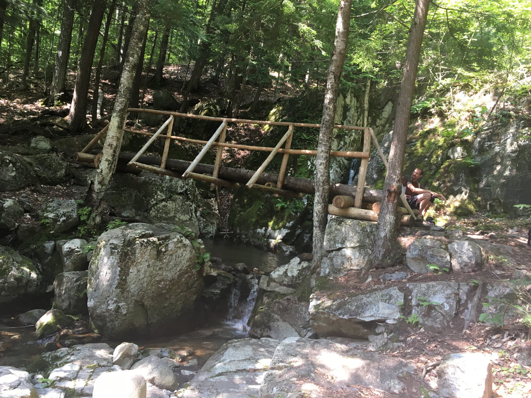
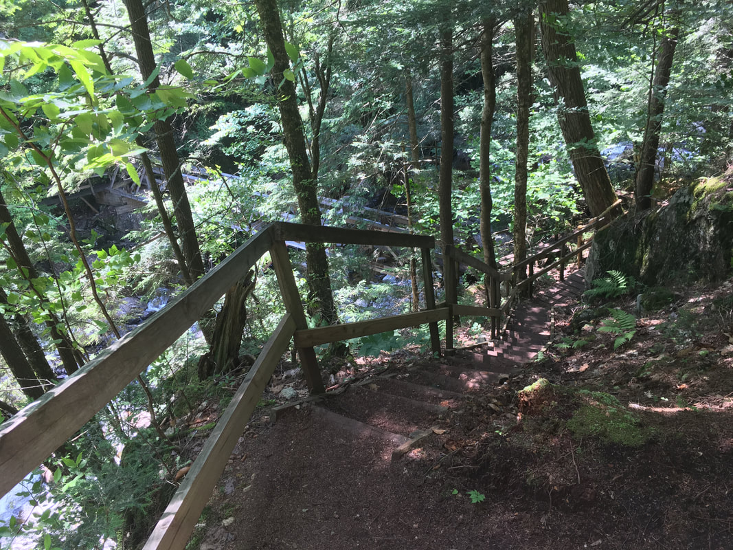
At the dam that bridges the Lower Ausable Lake with the Ausable River, we took the West River Trail back home. We passed beautiful and mostly level scenery: wooden bridges, the Ausable waters rushing right beside us (as seen here), huge cliffs towering above us and Beaver Meadow Falls as well. By the time we came full circle to the Wedge Brook Trail again (where we had camped), we had lost our light and were walking by the light of the moon (and maybe a flashlight or two!). Let me just say that after 14 hours of hiking, we slept well that night... |
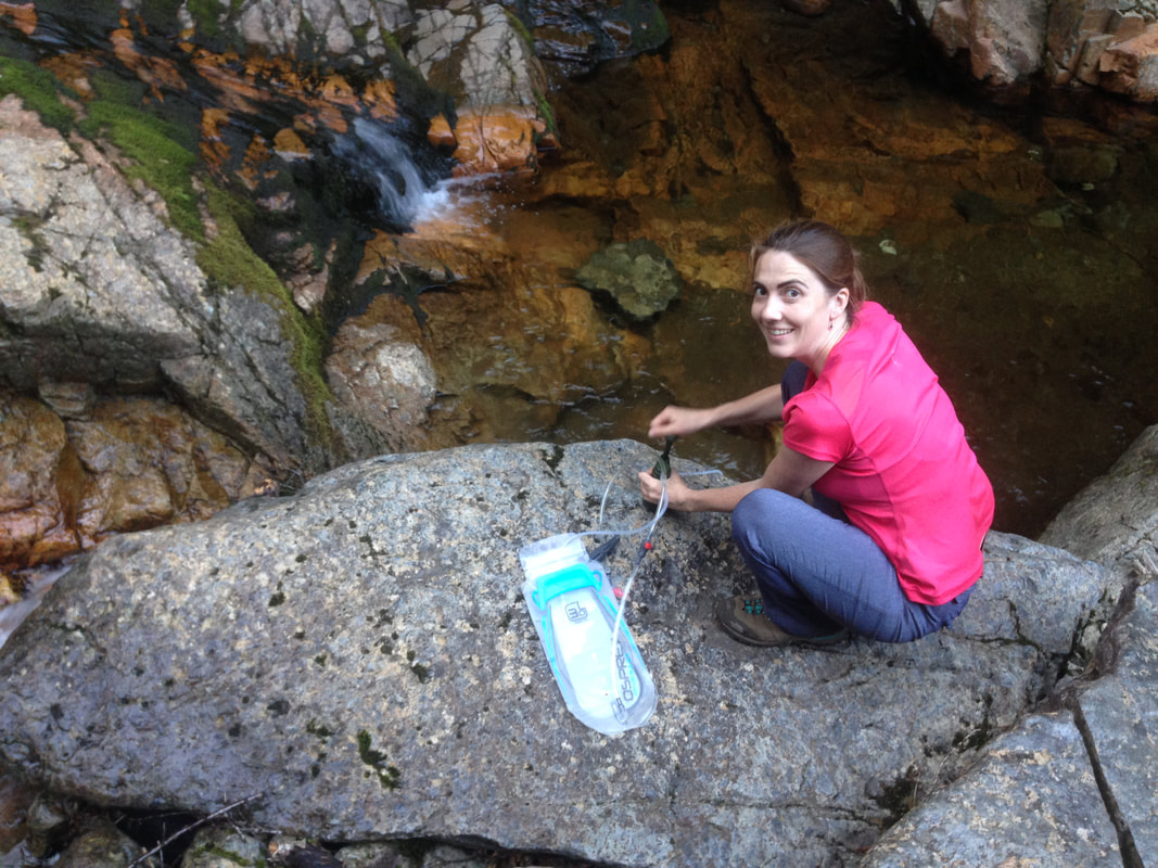
We carried 3L each, and still needed to use a water filter on this trip.
|
Last Day: Our Walk Out
After a nice sleep-in, we awoke energized and ready for our hike out. We ate a leisurely breakfast and began descending the Wedge Brook trail at 10am.
|
|
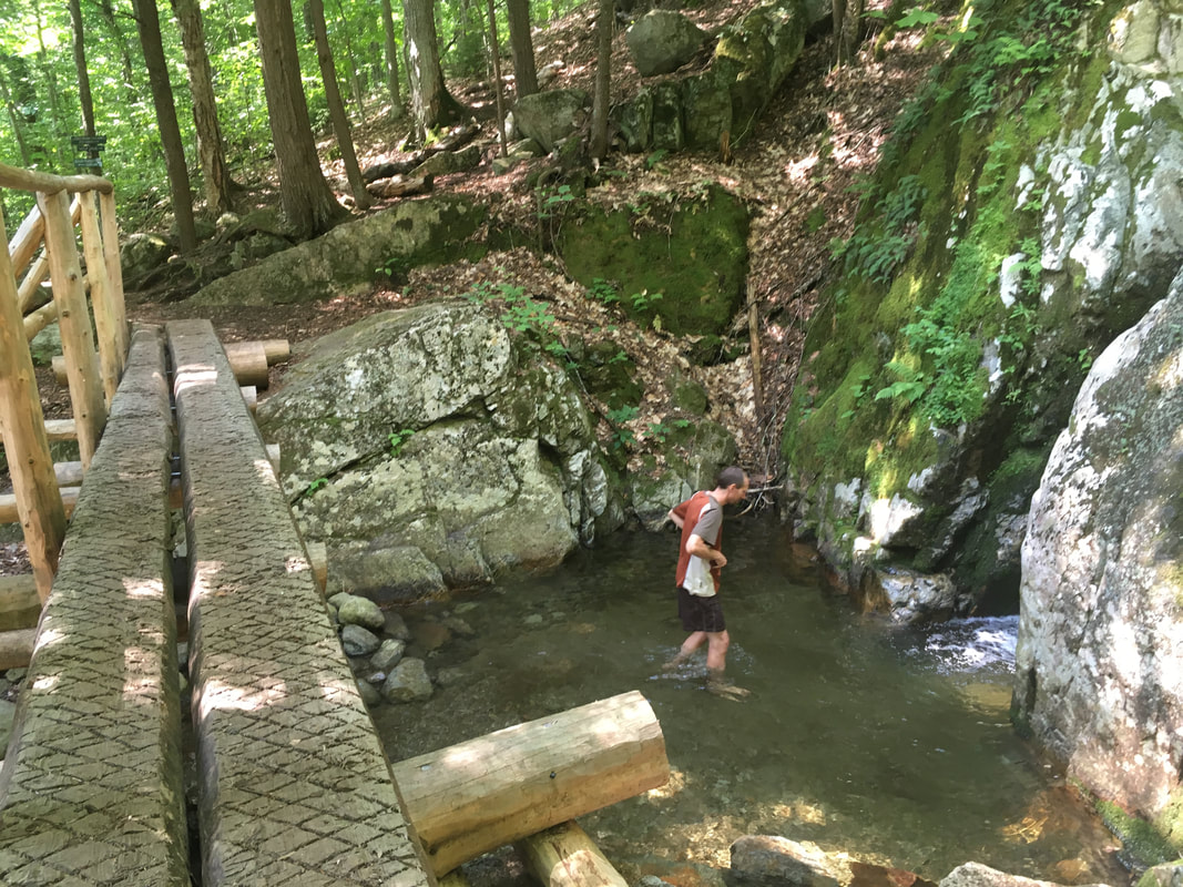
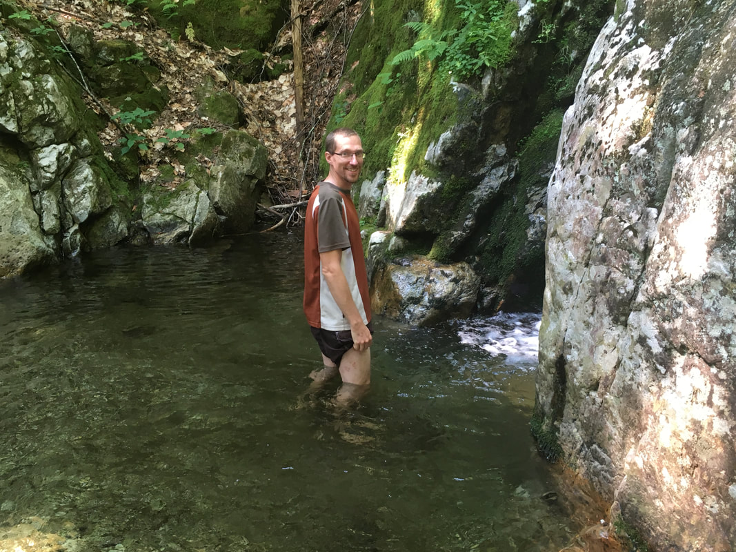
It was on this trail that we met a search and rescue forest ranger, who stopped us and quizzed us about our hiking paths. He mentioned that a hiker had gone missing yesterday - his hotel had called in early that morning to say that he never returned overnight, and his truck was still parked in the parking area. We recounted our hiking travels, and he asked us to check in with the rangers at the trail register on the way out. Onward we marched... with a nice long stop to swim and refill with water at the Wedge Brook Falls!
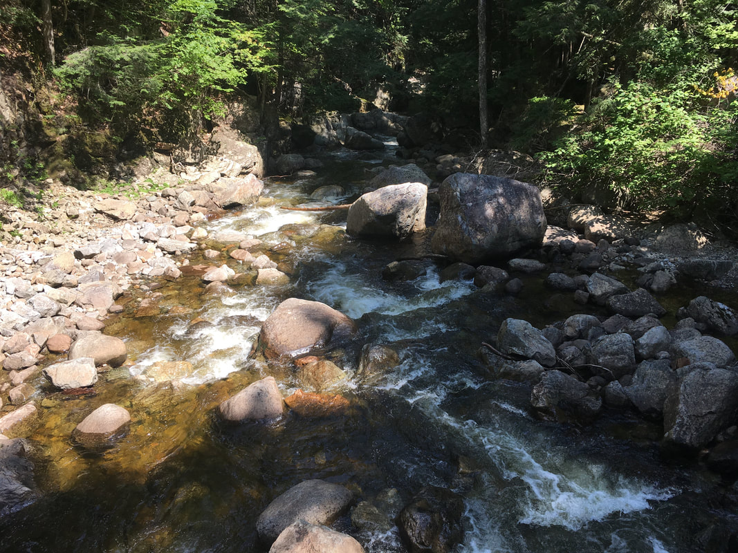
We decided to cross over Canyon Bridge to the East River Trail to explore what that side of the river was like. It's much more flat and the trails are more maintained than the West River Trail, but I have to say - I liked the rugged uniqueness of the West River Trail much more. We did get to see another branch of the Ausable River though before it merged with the main one. What a beautiful area!
|
As we walked, Niels and I reflected on how many mountains we had climbed this trip, and on all the peaks and valleys that life has afforded us. It's amazing to reflect on just how far we have come together. It's a treat hiking in the Adirondacks with Niels. There are highs and lows (literal and metaphorical) of hiking the ADKs, but I sure wouldn't trade my hiking partner for anything!
|
|
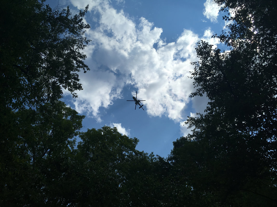
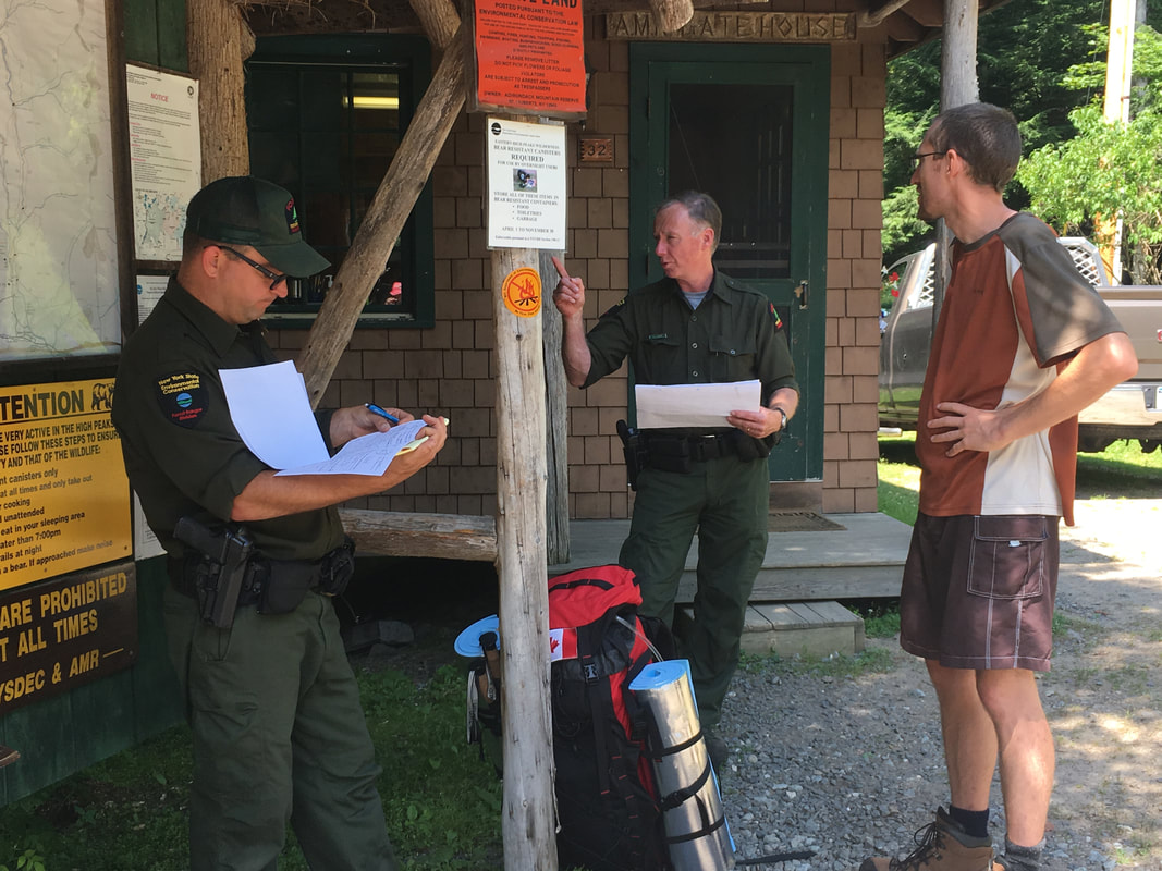
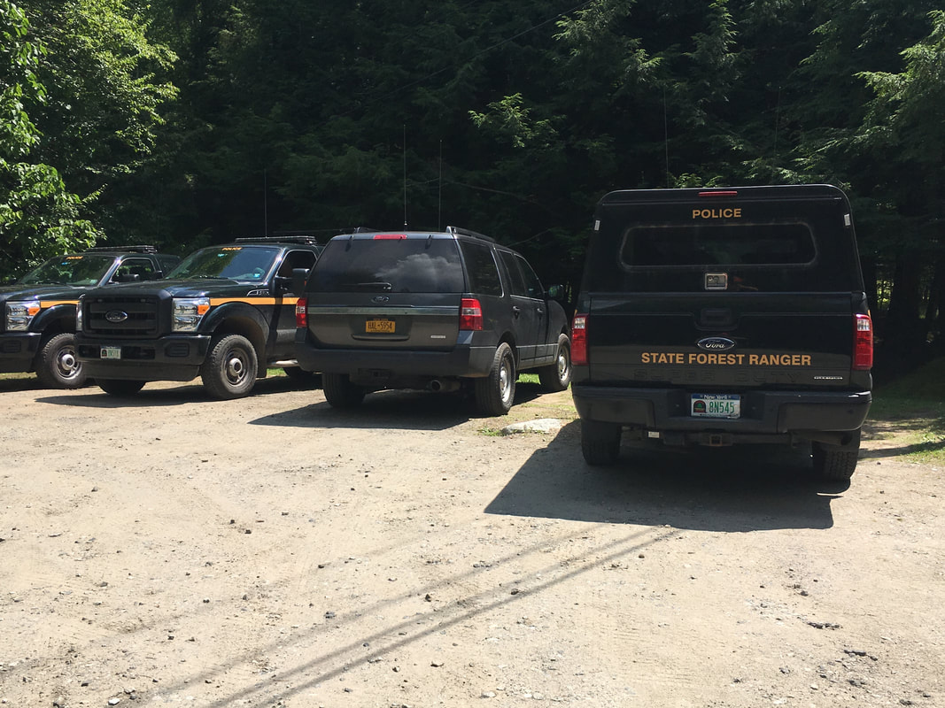
As we were hiking out, the recurring sounds of helicopter blades kept us aware that something was definitely amiss in the High Peaks that morning. It was a first for me to return to the trail register and not be able to find our "sign-in" page... it had been apprehended, photocopied and distributed to the many forest rangers who had gathered at the AMR gates. I've never seen so many State Trooper vehicles assembled in one place! We were interviewed, and offered what we could. We identified the man with the headphones who we met descending Armstrong as their probable missing person, and gave as much detail as possible. What followed was a massive 24 hour search, involving a state helicopter and 17 forest rangers. It was only after we saw his photo later in the papers that we concluded for certain that the breathless man we met was indeed the hiker that ultimately lost his life in the Adirondacks that day. For the full story, click here.
|
|
|
While many hikers go missing in the Adirondack wilderness and need rescuing by forest rangers, relatively few actually pass away. It was a tough pill to swallow that we were hiking the exact range that Skip was, on the exact day, at the exact time. It's been difficult to process that we actually met him, stopped to chat, and then kept hiking. We both have regrets that we didn't stop him, or somehow know that he was in more trouble than we realized at the time. It's been a tough end to what was, at the time, a great hike.
For the first time in a long time, I do not feel the mountains calling.
Adirondacks, we will be back. Just not this year. Just not yet.
Adirondacks, we will be back. Just not this year. Just not yet.
Total distance: 3.2 miles in, 10.8 miles on our main hiking day, 3.2 miles out = 17.2 miles (27.7 kilometers)
Total time: 14 hours on main hiking day, 2.5 hours for hiking in and 2.5 hours for hiking out
Total time: 14 hours on main hiking day, 2.5 hours for hiking in and 2.5 hours for hiking out
Comment Box is loading comments...
