Macomb, South Dix, Grace (East Dix),
Hough and Dix Mountains
Adirondack Hike: July 15 - 17, 2022
|
Dear Grace,
I'm writing to tell you that we just completed the Dix Range! Whoohoo! There are two things that I can honestly say about these mountains: 1) The Dix Range has some of the best views we've seen so far in the Adirondacks. 2) It's hard. Very hard. Extremely hard. That being said, we did it, and below is our account... Now reader, you might be wondering why I'm addressing my blog post to 'Grace.' I think it's fitting, since we actually climbed Grace Peak this weekend, to adopt a custom from the past...
'Grace' refers to Grace Hudowalski, the ninth recorded person and first woman to climb each of the 46 High Peaks. She began with Mount Marcy in 1922 when she was just 16 and finished with Mount Ester in 1937. Grace married Ed Hudowalski in 1926, after he asked her to marry him on their very first date. Together, they led many Sunday School classes up the High Peaks, helped pioneer the creation of the ADK Forty-Sixers and designed the first 46er patch. So why write a letter to Grace? Well, after the ADK Forty-Sixers was established, every hiker who aspired to climb all 46 High Peaks had to carefully document each climb in a hand-written letter to Grace herself. She would read each letter, record each climber's progress, and write back encouraging notes, always ending her letters with "Good Climbing" instead of "Sincerely." Grace then assigned a number to each ADK 46er as they completed their 46er journey, a tradition that still continues today. Grace's love for the High Peaks never faded, and at age 70, she decided to reclimb all 46 High Peaks (Ok Niels, we really have no excuse now!). On March 13th, 2004, at the Adirondack Mountain Club's annual banquet, Grace was awarded the Trail Blazer Award. She ironically died that same night, at the age of 98. In 2014, East Dix was renamed Grace Peak in honour of Grace Hudowalski's dedication to the beautiful Adirondack Mountains. |
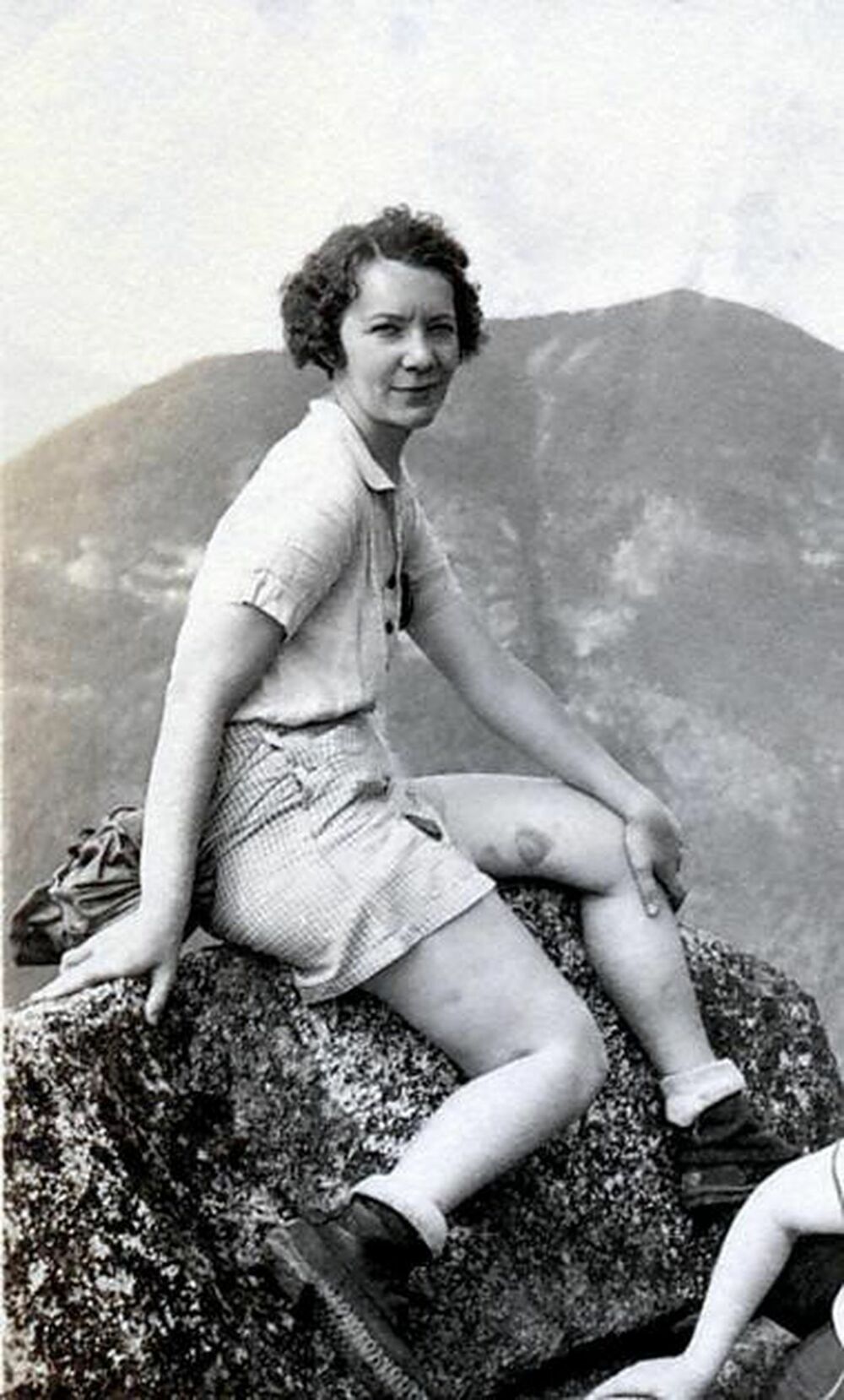
Grace Hudowalski
|
So, Grace, as you can tell, we're now back from our epic three day camping trip in the rugged Dix Wilderness. During our hike, we had the honour of meeting a young hiker ascending his very first ADK High Peak on Macomb. Then later that day, we met a couple who had just completed their very last ADK High Peak, earning themselves the ultra-cool title of ADK 46er that you first established. Wow!
Since Niels and I are keenly aware of our (slow) hiking abilities, we decided to split this 15 mile hike into three sections:
Day 1: Hike 2.3 miles in to Slide Brook and camp for the night
Day 2: Hike all five peaks, counter-clockwise, in a 10.5 mile day hike
Day 3: Hike 2.3 miles out
I really don't know how other hikers do this range all in one day, especially if you have to add on an extra four miles round trip from the overflow parking lot!
Friday Hike
Hike in to Slide Brook Lean-to
|
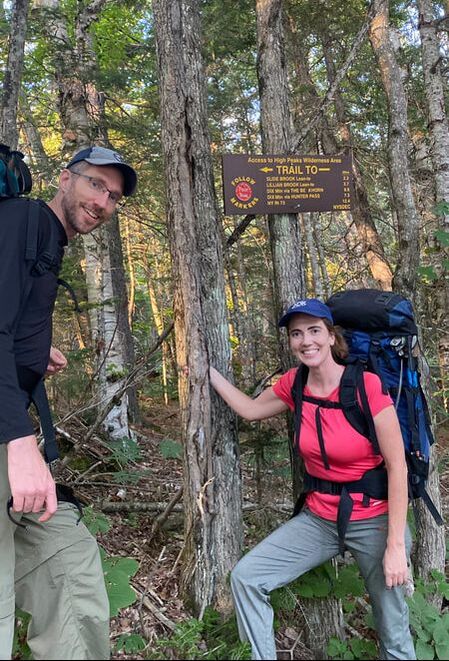
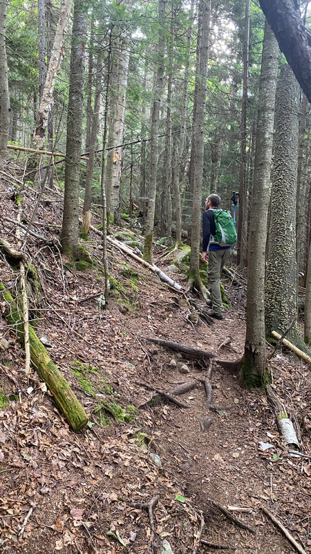
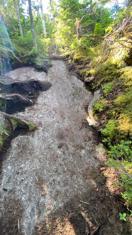
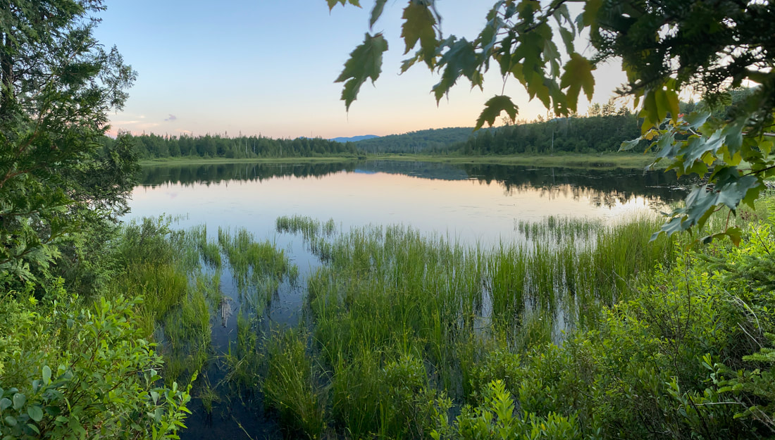
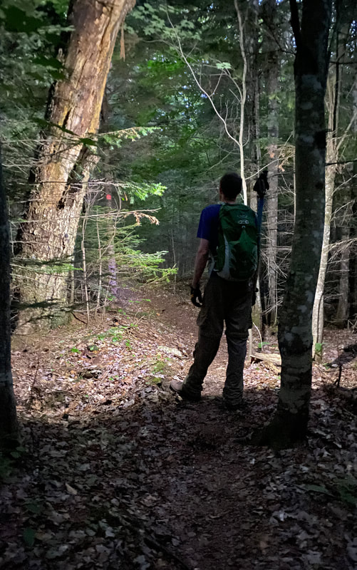
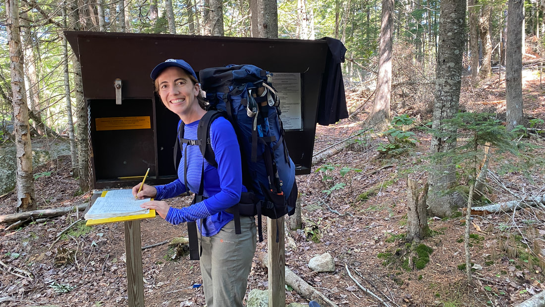
After driving four hours to get to the Elk Lake Trailhead, we parked and assembled our gear. Arriving at 7:30pm on a Friday night, we managed to get one of the last spots in the closer parking lot. Those day hikers coming in early on Saturday morning will have to park in the overflow parking lot by default... The hike in to Slide Brook is lovely and flat. It was really a pleasure to walk this trail, surrounded by trees, birds and the fading evening light. |
|
|
|
|
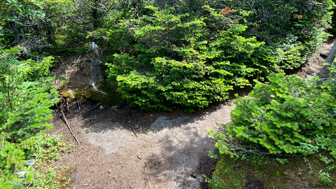
The Slide Brook campsites were busy, but we managed to camp off trail and far from the madding crowds... this was especially lovely as the only sounds we heard that night were a pair of loons on Elk Lake. To get to the campsite we found, pass over the Slide Brook Bridge and take an immediate right. Hike past the illegal campsite, past the "washroom" and keep going.... there's a lovely little spot farther along the path in this direction.
We found a remote campsite away from everything!
|
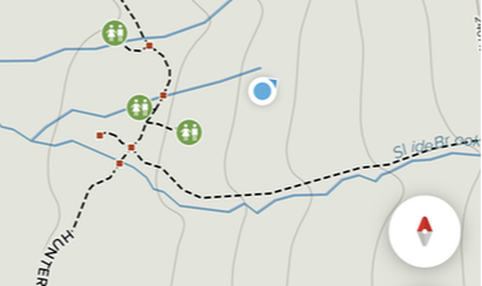
Location of our campsite
|
Saturday Hike: Dix Range
#1: Macomb Mountain (via Macomb Slide) - 1.8 miles
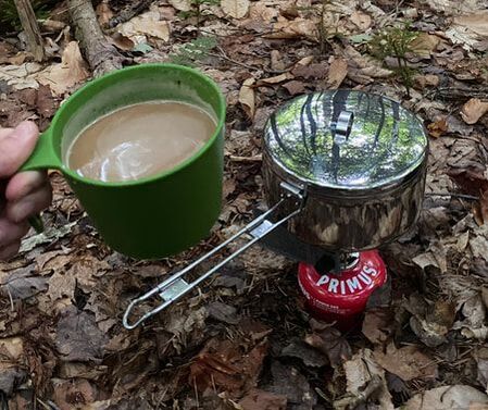
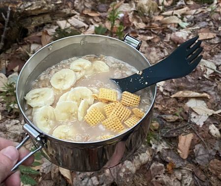
The next morning we awoke early to the sounds of Niels' beloved wood thrush. After boiling water on our little camping stove, I managed to make a delicious cup of coffee and some very soggy oatmeal!
|
|
|
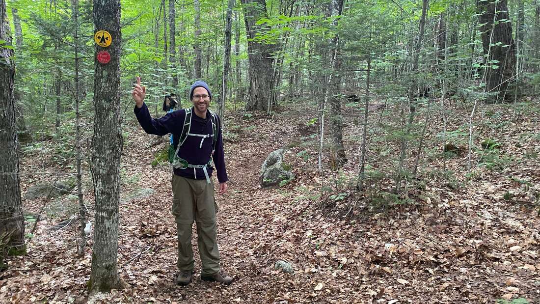
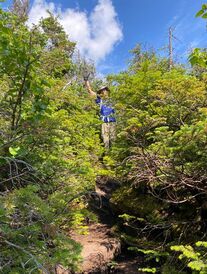
At 7:30am, we began our trek! Don't miss the turn off to the trail up Macomb... it's very easy to walk right past it, but it IS marked by red and yellow markers on a tree. You are basically turning and walking into other people's campsites, which feels a bit strange. We managed to catch one couple that had over shot the turn off and turn them around. They were very thankful! |
|
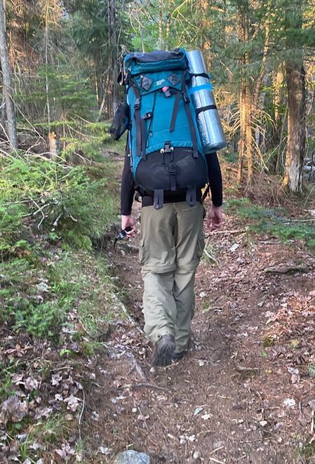
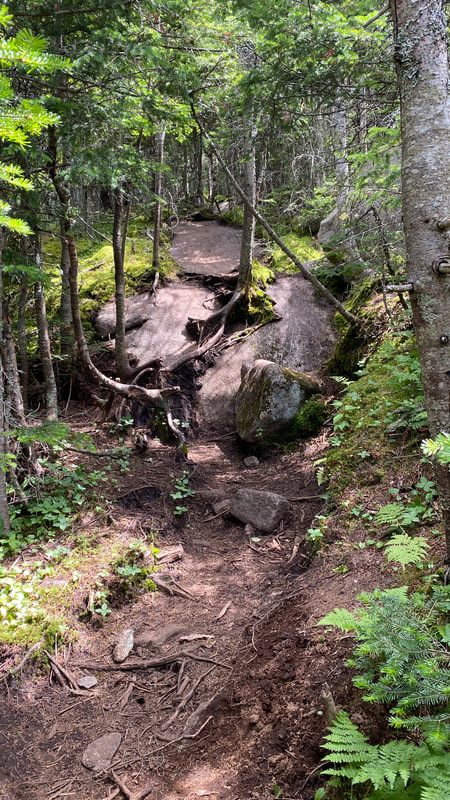
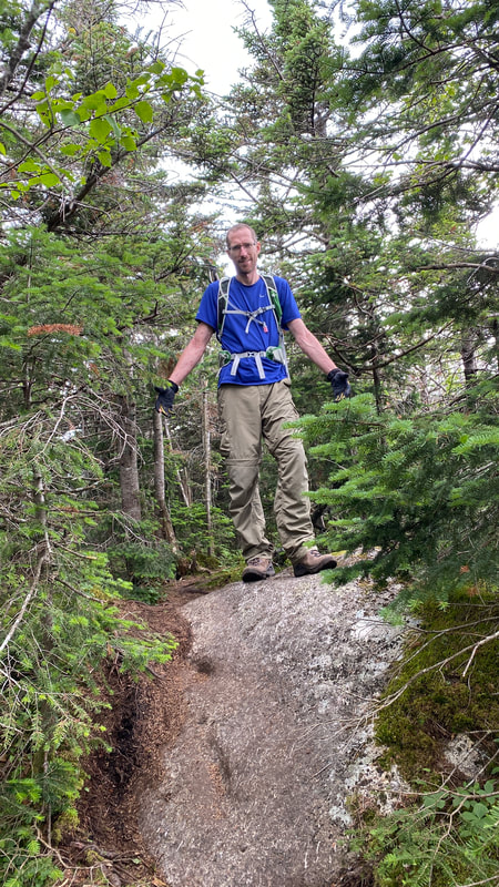
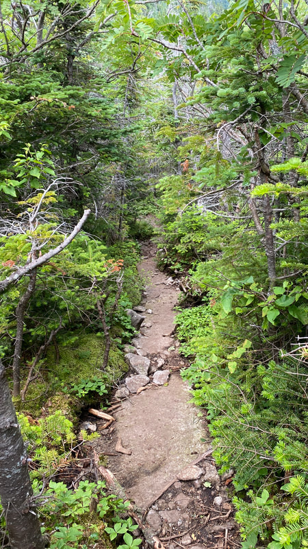
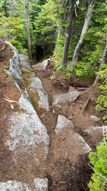
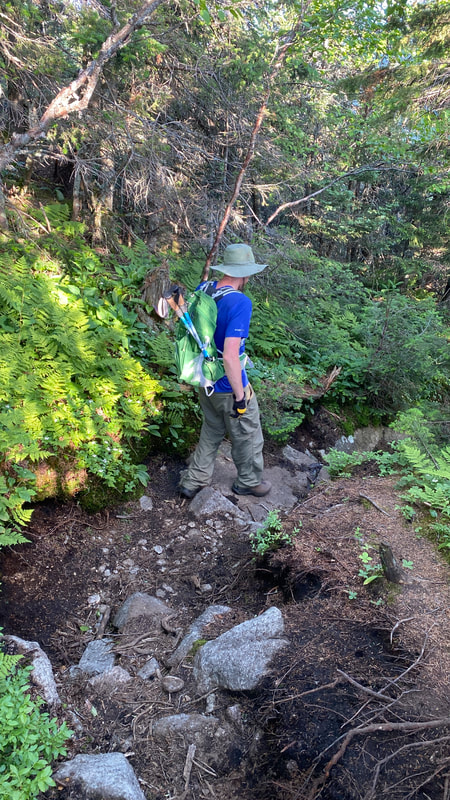
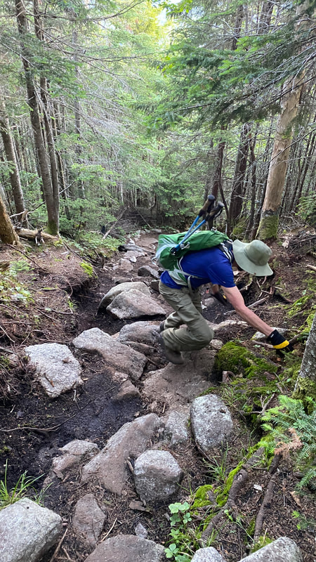
From all the blog posts I'd read before this hike, I was under the impression that this whole first section to Macomb Mountain was basically the Macomb slide. Wrong! There is quite a lot of hiking before (1.4 miles) and a bit after (0.2 miles). Below are photos of our hike through the woods before arriving at the Macomb Slide:
|
|
|
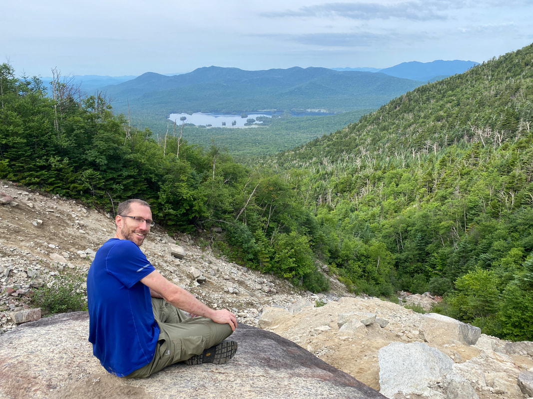
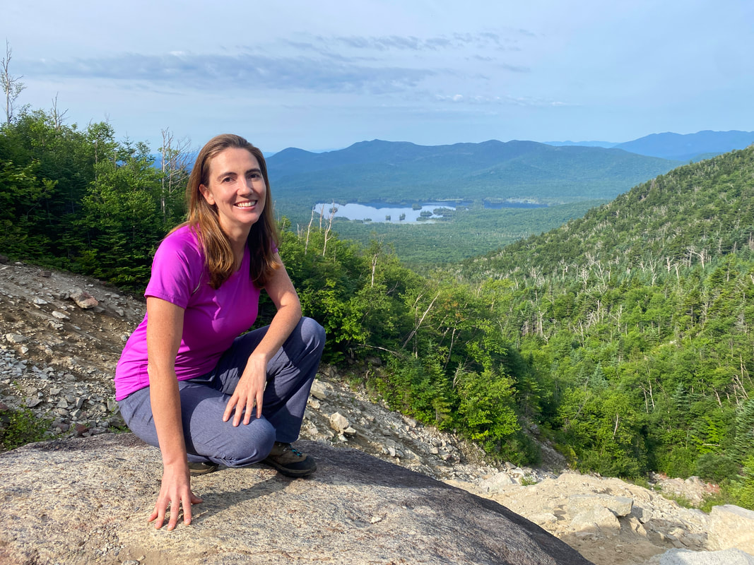
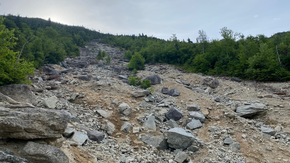
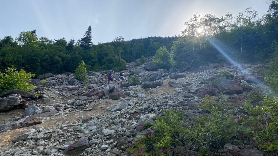
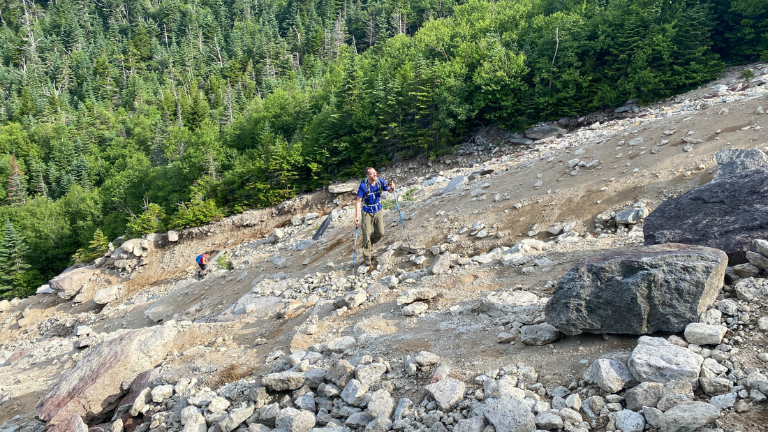
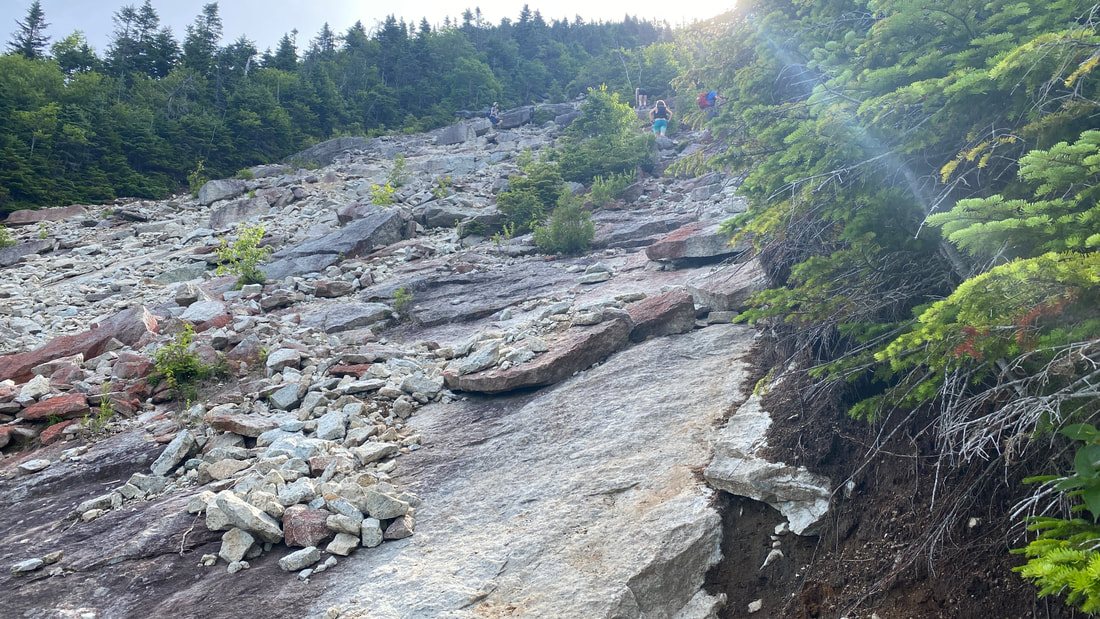
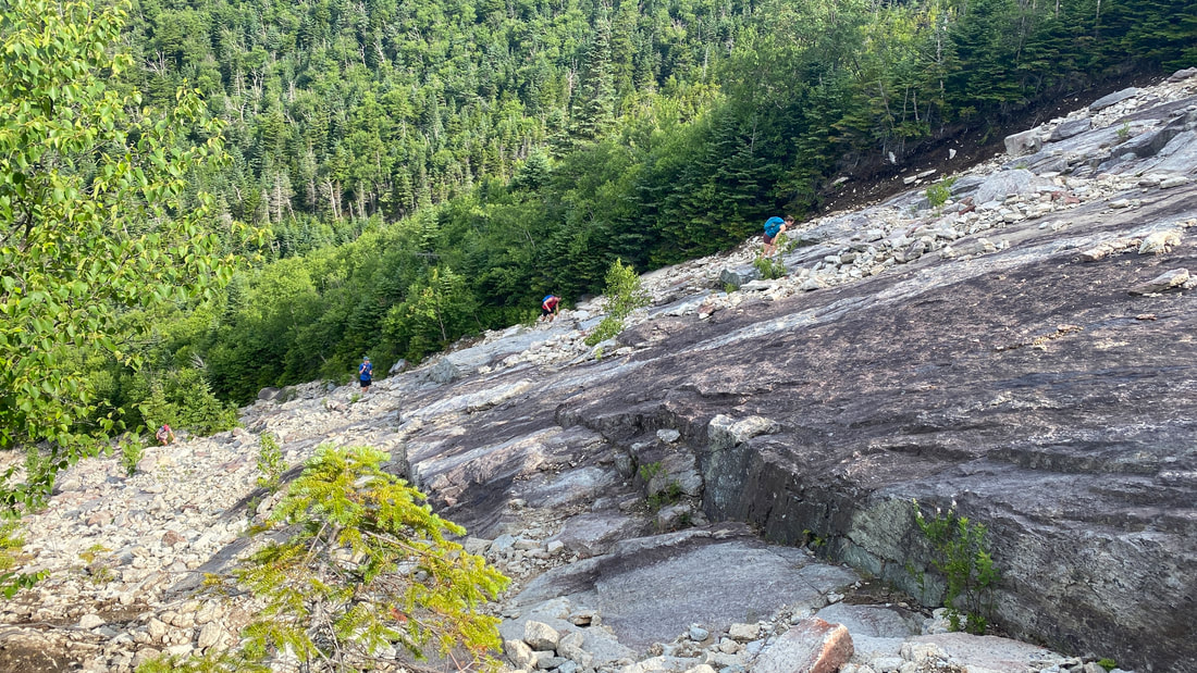
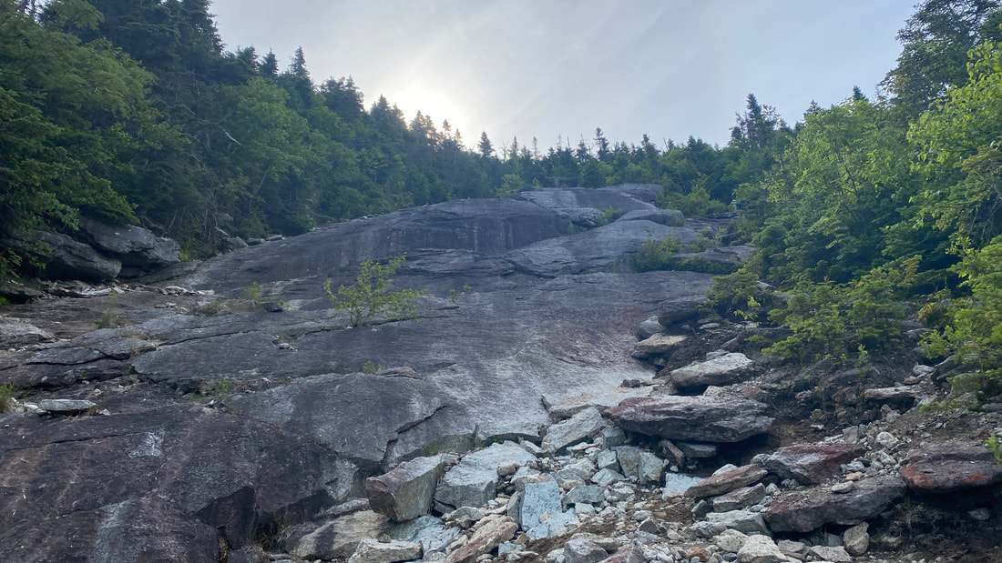
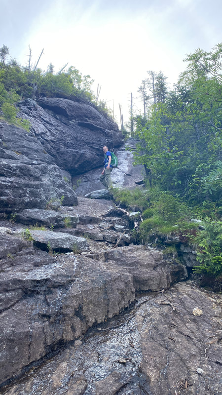
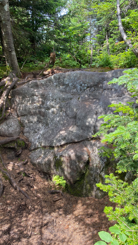
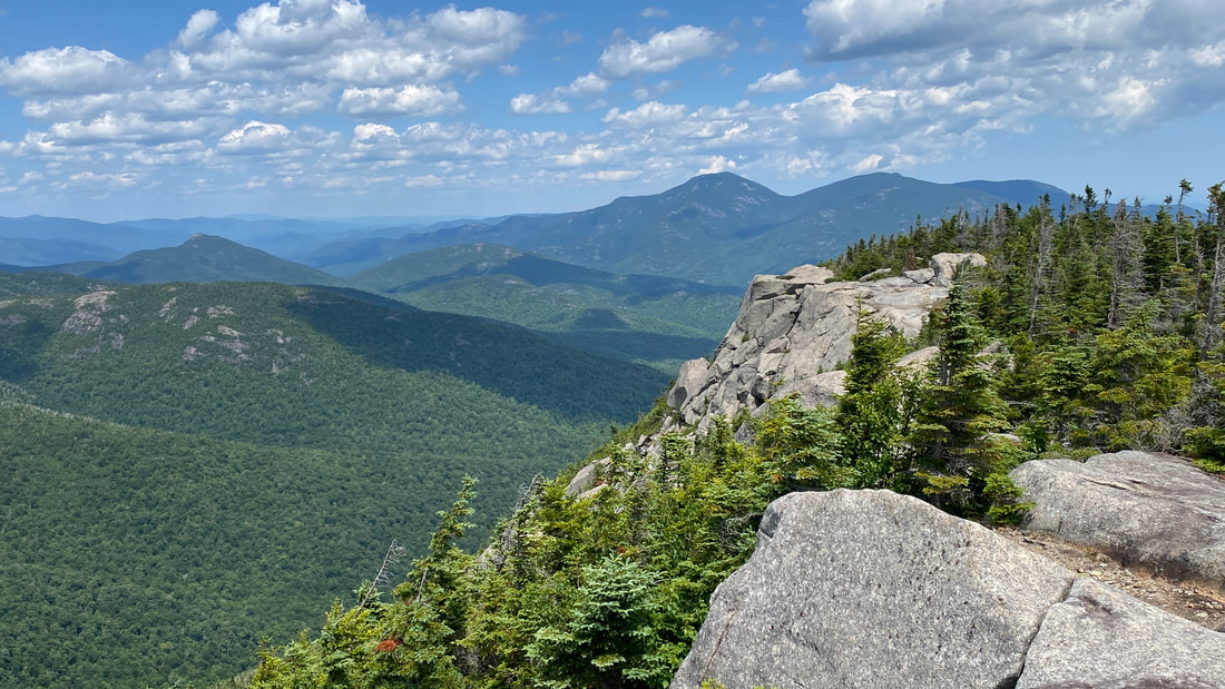
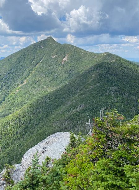
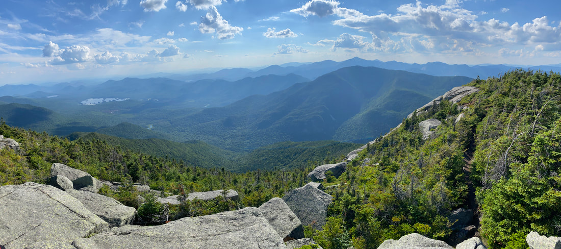
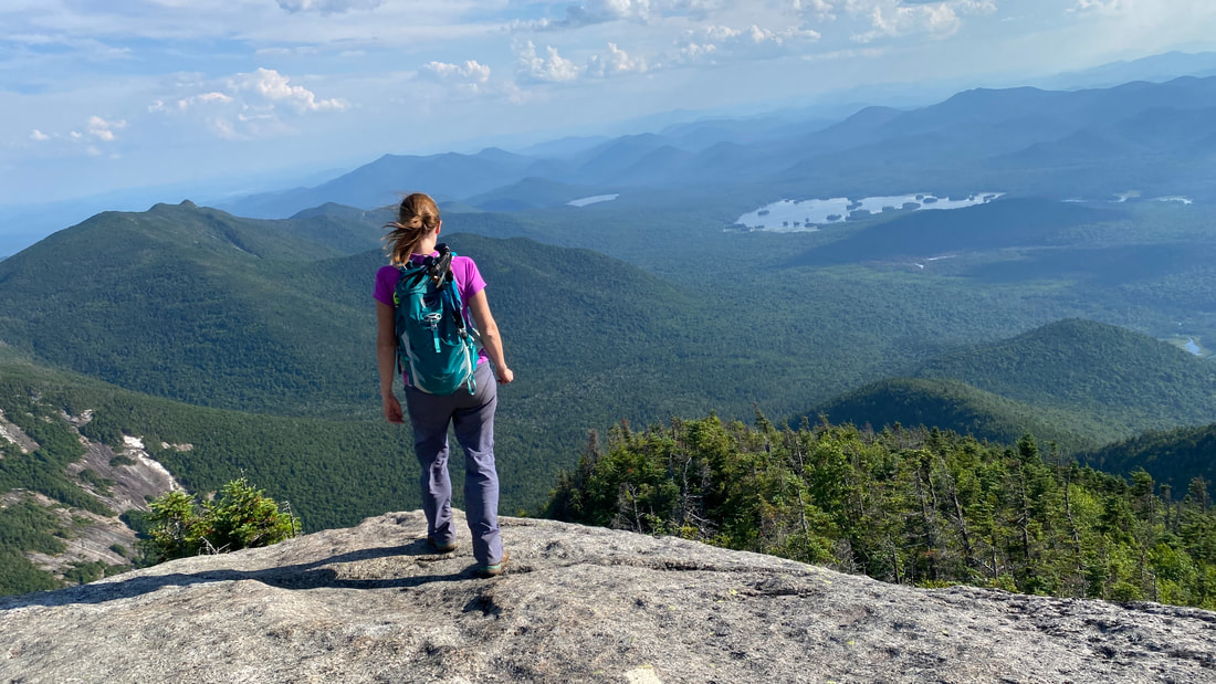
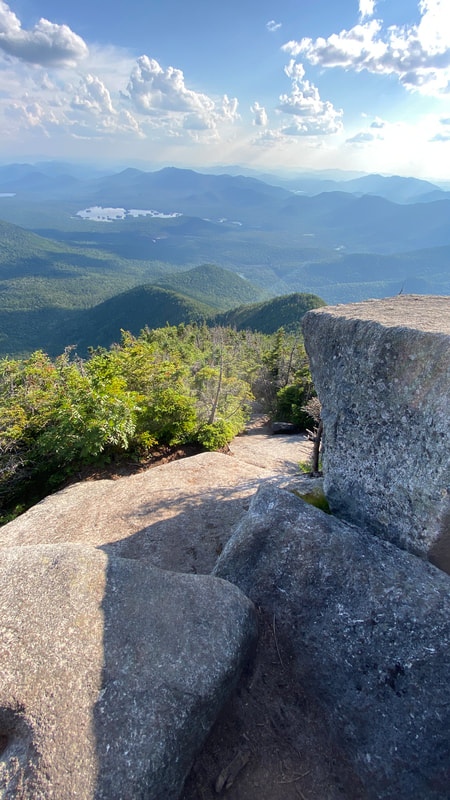
After an hour, we emerged from the woods at the Macomb Slide. Right away, the views were Ah - Mazing! This was the first of many "Oh Wow! Look at that view!" exclamations of the day.
|
|
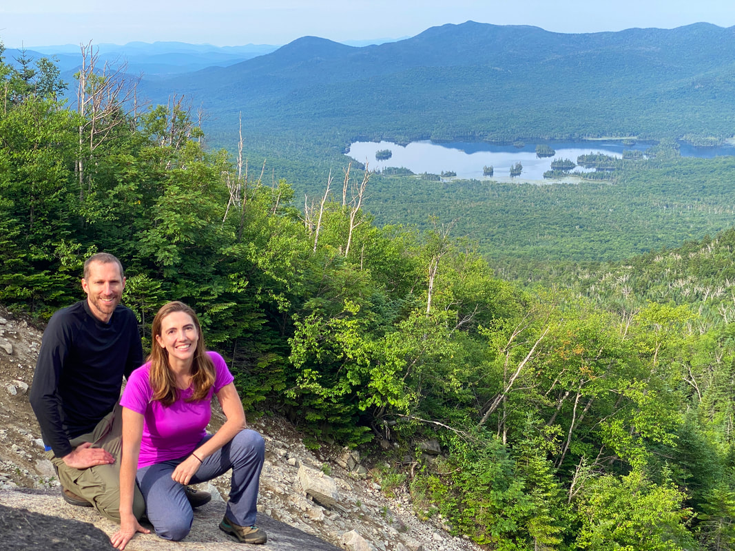
View from the Macomb Slide, Dix Range
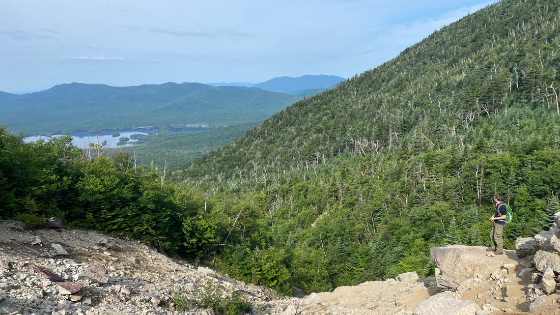
Niels surveying Elk Lake
I don't think I have any tips to offer about the Macomb Slide. I had read before that you "should stay to the right" but I honestly don't know if that would have made a big difference. You just need to hike carefully and slowly for the 0.2 miles of the slide. I did slip in two places, but only a little. Overall, I do agree that you should do the loop counter-clockwise, so that you climb up the slide rather than down. A minor slip while going up isn't a big deal at all. Slipping while going down when you have momentum? Not something I would want to do! We took our time, and the entire slide took us 25 minutes.
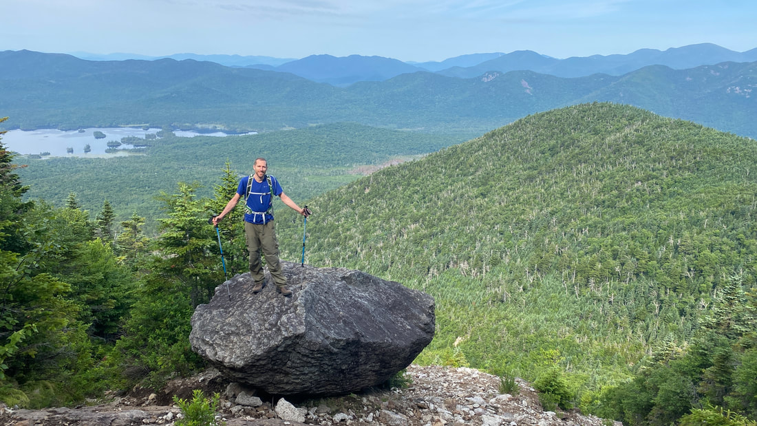
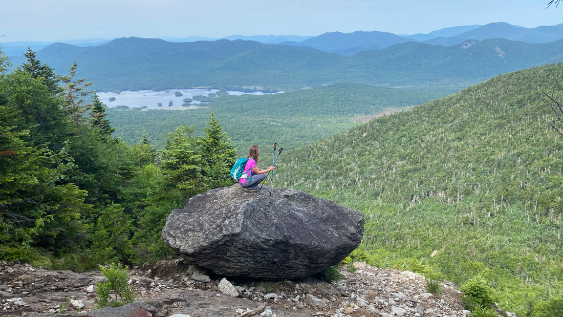
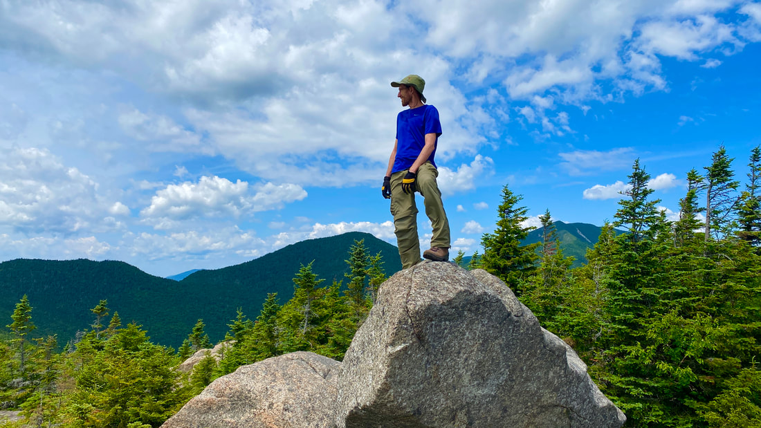
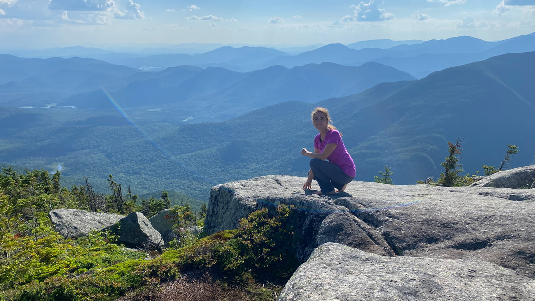
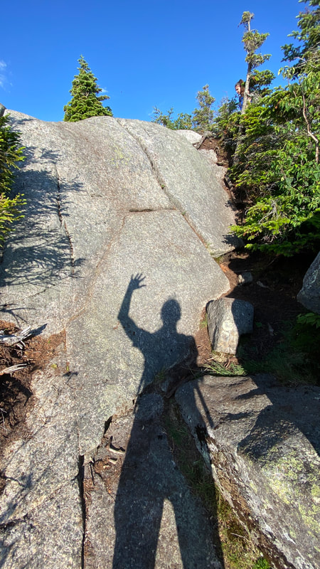
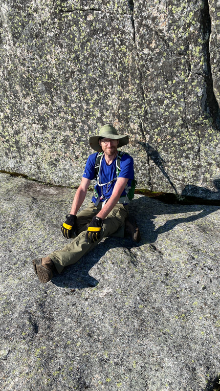
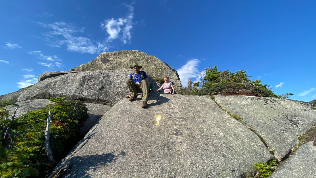
At the top of the slide is a cool rock for photo ops! THIS is why our hike times are so slow... but really, do you blame us?
|
|
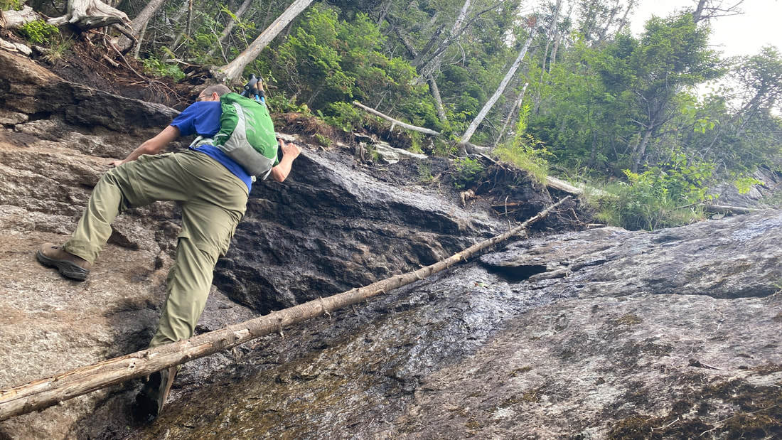
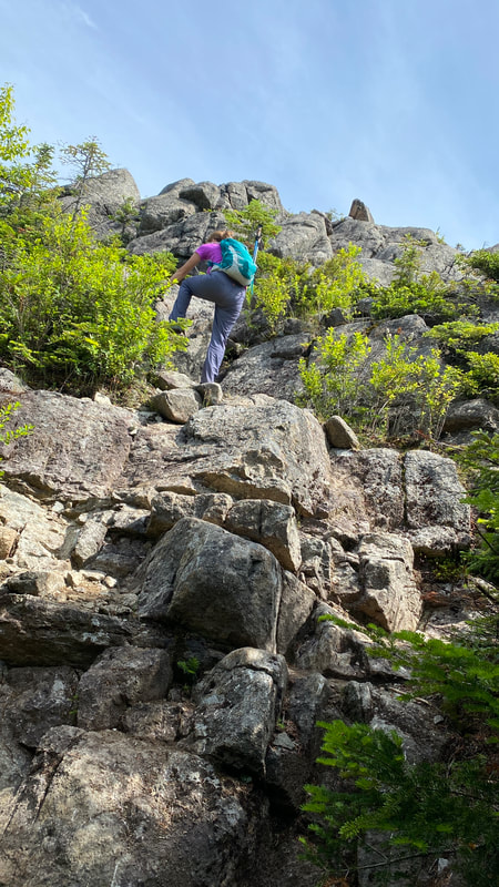
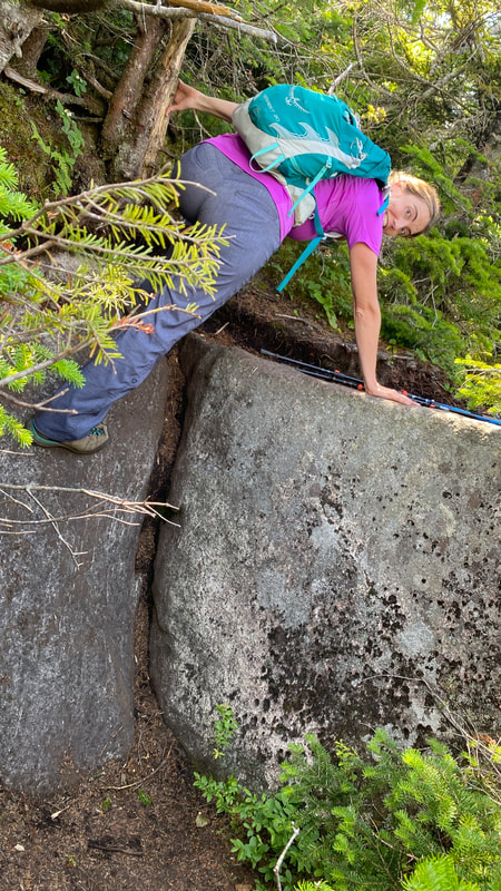
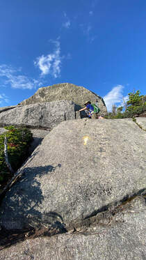
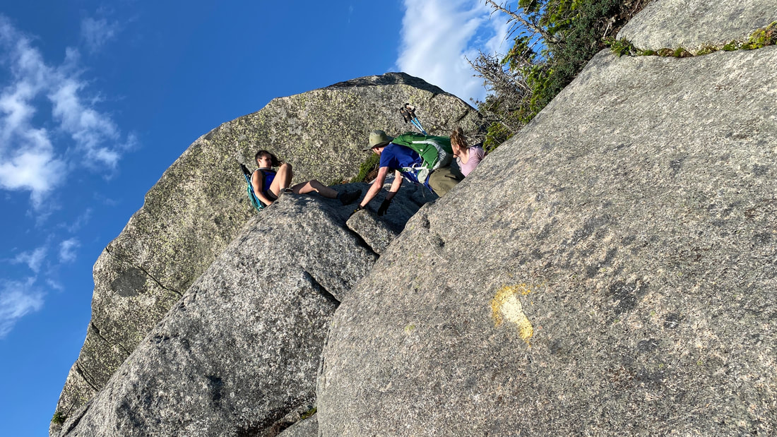
After this, it's only another 0.2 miles to the summit of Macomb, but boy - what a 0.2 miles it is! This section involved some interesting scrambles. Luckily, we're fully used to this by now!
|
|
|
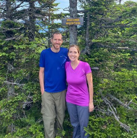
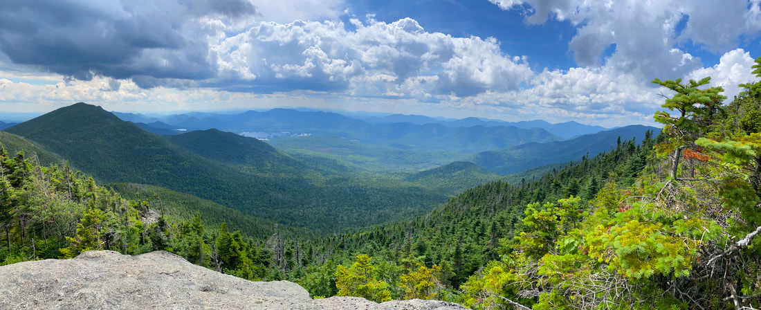
Soon, we hit the peak! Whoohoo! Macomb Mountain: #21 in elevation at 4405 ft.
|
|
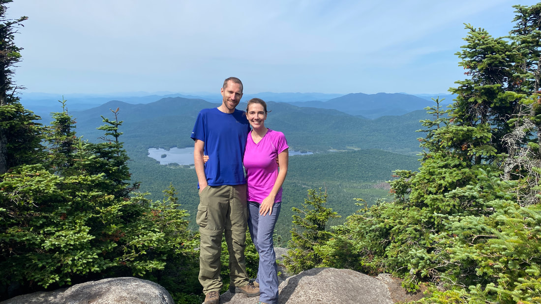
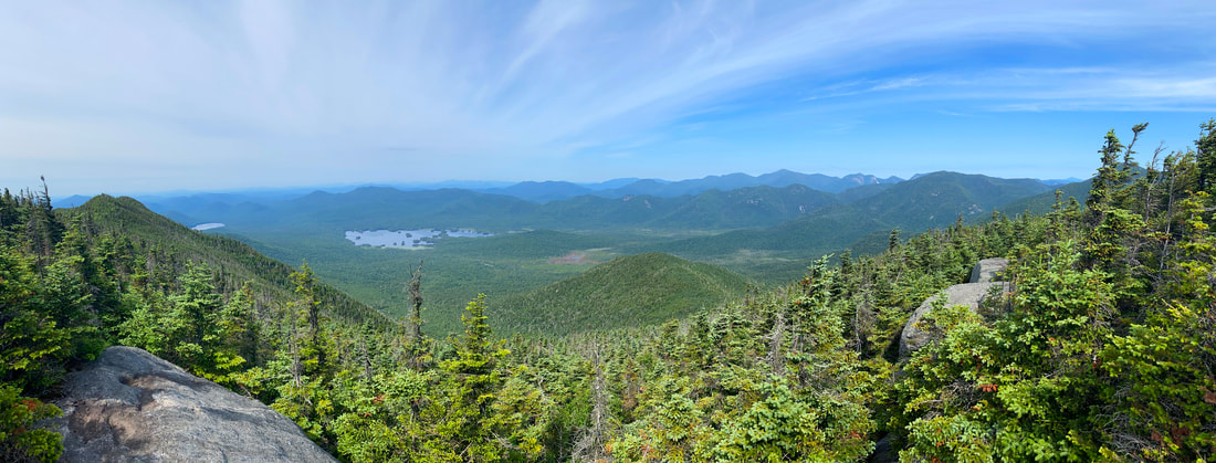
Panoramic view from Macomb Peak
#2: South Dix - 0.7 miles
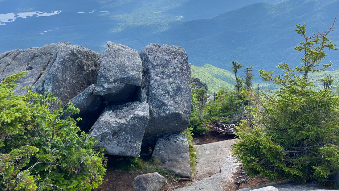
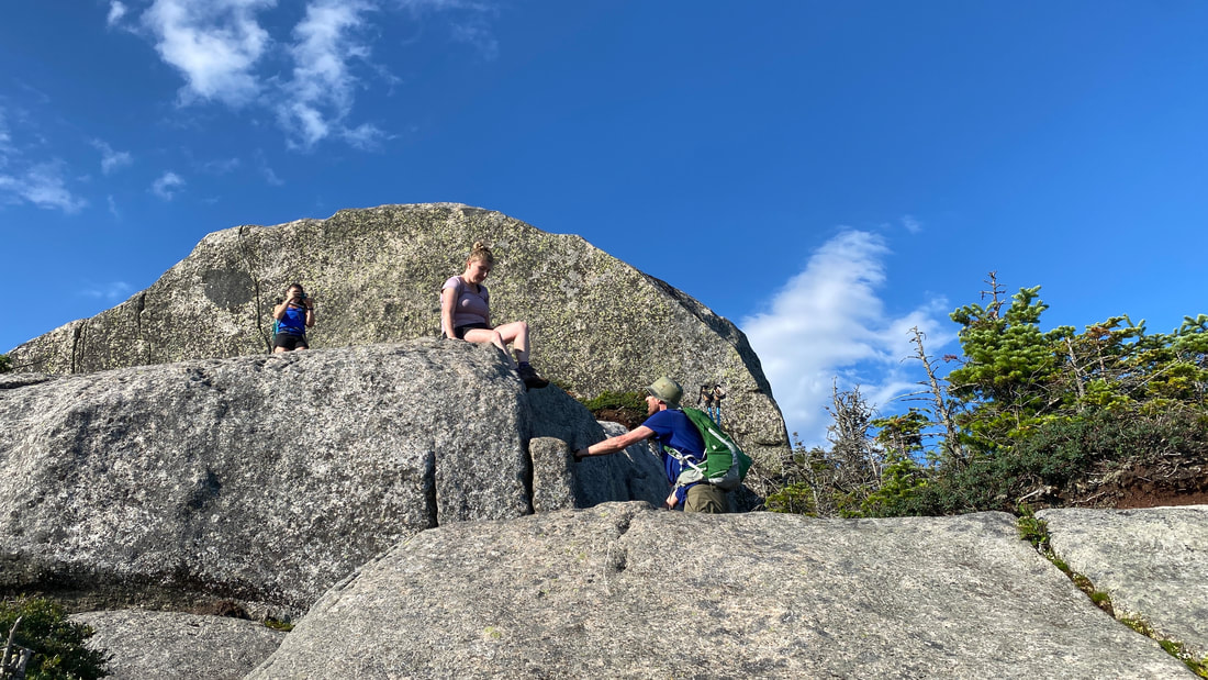
The trek to South Dix is actually quite lovely. It's basically woods, rock climb #1, woods, rock climb #2, woods, rock climb #3 and then you're at the wooded summit. Don't fret - there's a wonderful spot just a bit farther than the summit with great views.
|
|
|
Click here for a video looking back at Macomb and checking out the beautiful views on the way to the South Dix summit.
A nice rest spot on the way to South Dix. From here, we could see a lot of the Great Range and much more!
|
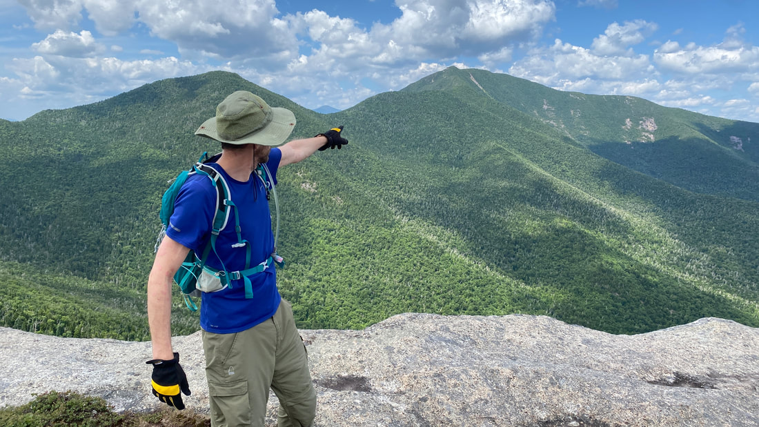
You can see the Beckhorn, right before Dix, to the left of Niels. We'll be climbing that today!
|
Above is the intersection where you turn right for South Dix and Grace Peak, and then you return to this spot later to turn left for Hough and Dix Mountain.
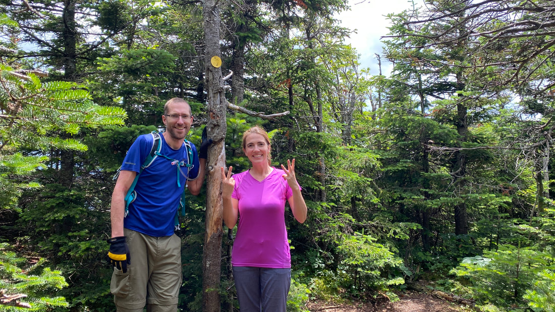
Below we are making a "23" sign because South Dix is our 23rd peak. We are now officially HALFWAY to becoming an ADK 46er! Whoot whoot! South Dix is currently in the process of being renamed Carson Peak, in honour of Russell Carson, a former president of the Adirondack Mountain Club and author of "Peaks and People of the Adirondacks." Since the name is not formally changed yet, we'll still call it South Dix in this blog post. The mountain is #37 in elevation at 4060 ft.
Below we are making a "23" sign because South Dix is our 23rd peak. We are now officially HALFWAY to becoming an ADK 46er! Whoot whoot! South Dix is currently in the process of being renamed Carson Peak, in honour of Russell Carson, a former president of the Adirondack Mountain Club and author of "Peaks and People of the Adirondacks." Since the name is not formally changed yet, we'll still call it South Dix in this blog post. The mountain is #37 in elevation at 4060 ft.
If you walk on a few paces and then turn right, there is a beautiful rock ledge lookout. From there you can see Macomb (what you've just climbed), the Vermont landscape, and a glimpse of Grace (our next destination!)
Can we stay here forever?
|
Looking at Grace Peak, our next destination.
|
#3: Grace Peak (formally East Dix) - 1.1 miles (2.2 round trip)
We decided to drop one of our day packs at South Dix, and only take one with us to Grace Peak. We kept enough water, our first aid kit, some snacks and left the rest. After a long break, we left South Dix at 11:20am to head to our next destination - the peak named after Grace! The trail over definitely had some flat sections, but also a lot of rock and root fun.
|
|
|
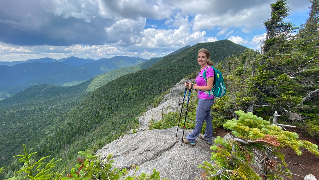
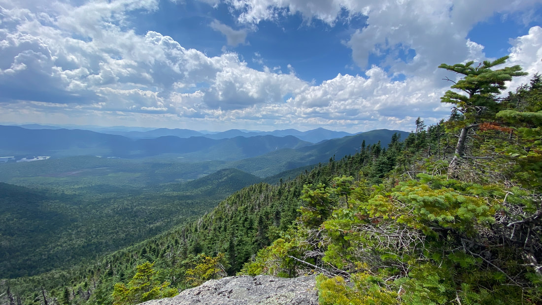
We arrived at the summit of Grace Peak at noon, which is #42 at an elevation of 4012 ft. What a beautiful peak! You get a full view of South Dix, Hough and Dix itself as seen in this video. It was a little bit daunting to think about what we still had to hike that afternoon. We could also see views of Gothics, Armstrong, the Wolf Jaws, Giant, Rocky Peak Ridge, and more! Just a note: the yellow marker that should be stapled into the rock on Grace is currently missing.
Cowboy of the Mountains
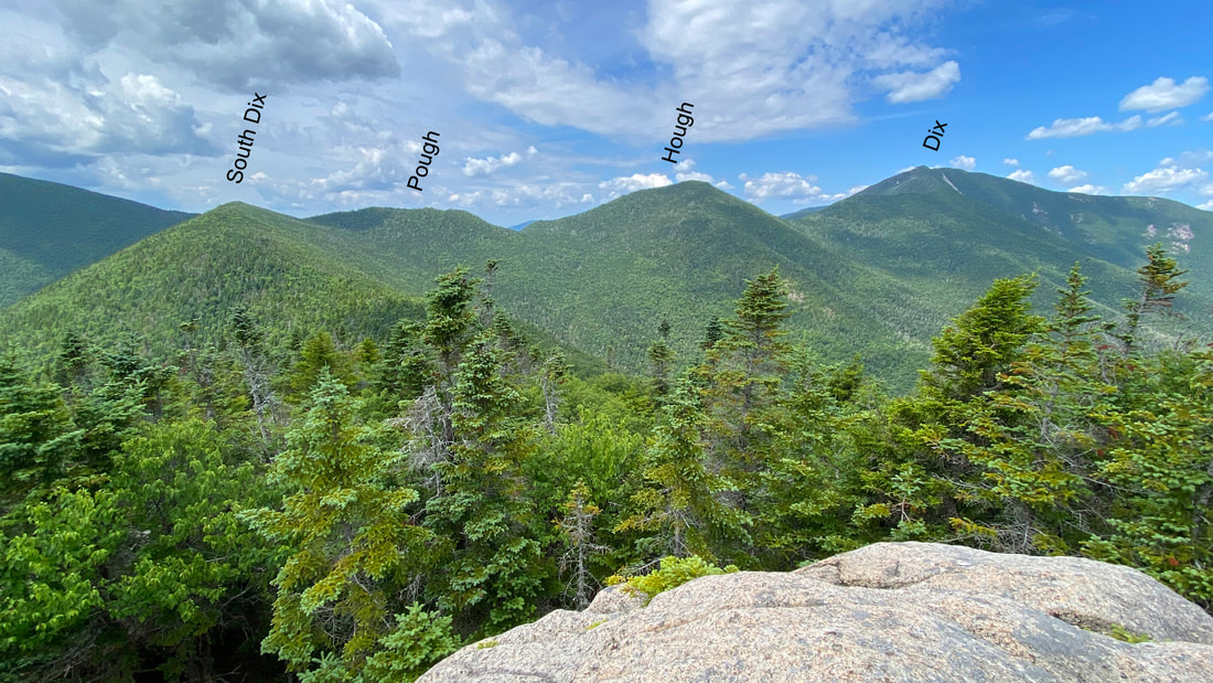
Looking at South Dix, Hough and Dix - our hiking destinations for the afternoon!
|
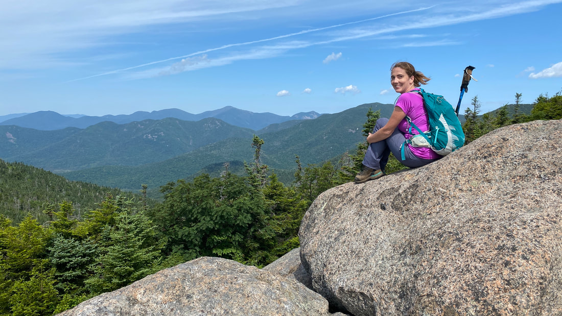
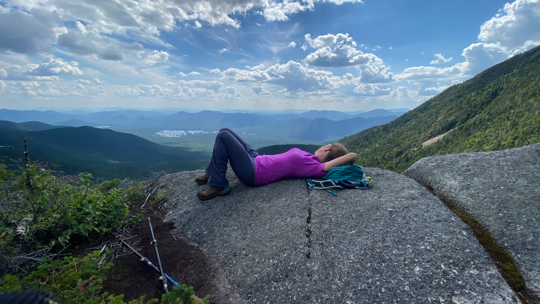
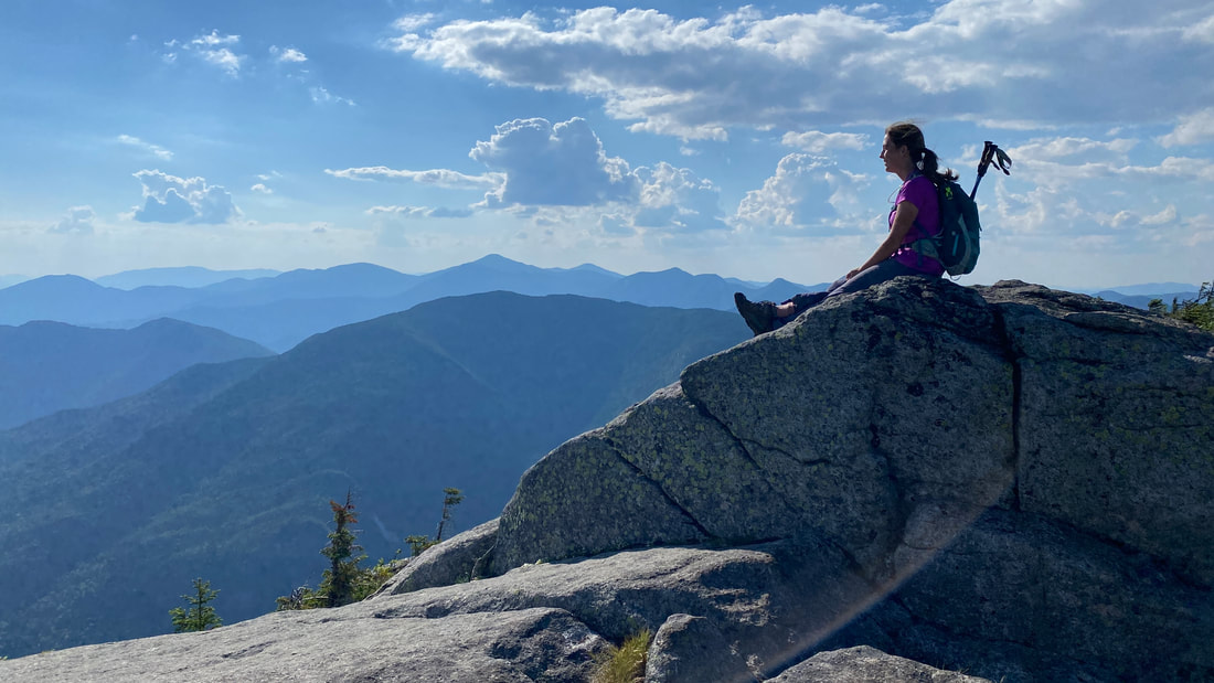
Once you are at Grace Peak, take the little path to the left and you will discover EVEN MORE GREAT VIEWS from the "Great Slide Lookout." We spent a lot of time here... |

|
Mount Marcy, in the palm of my hand
|
Let's go there next! Yup!
|
|
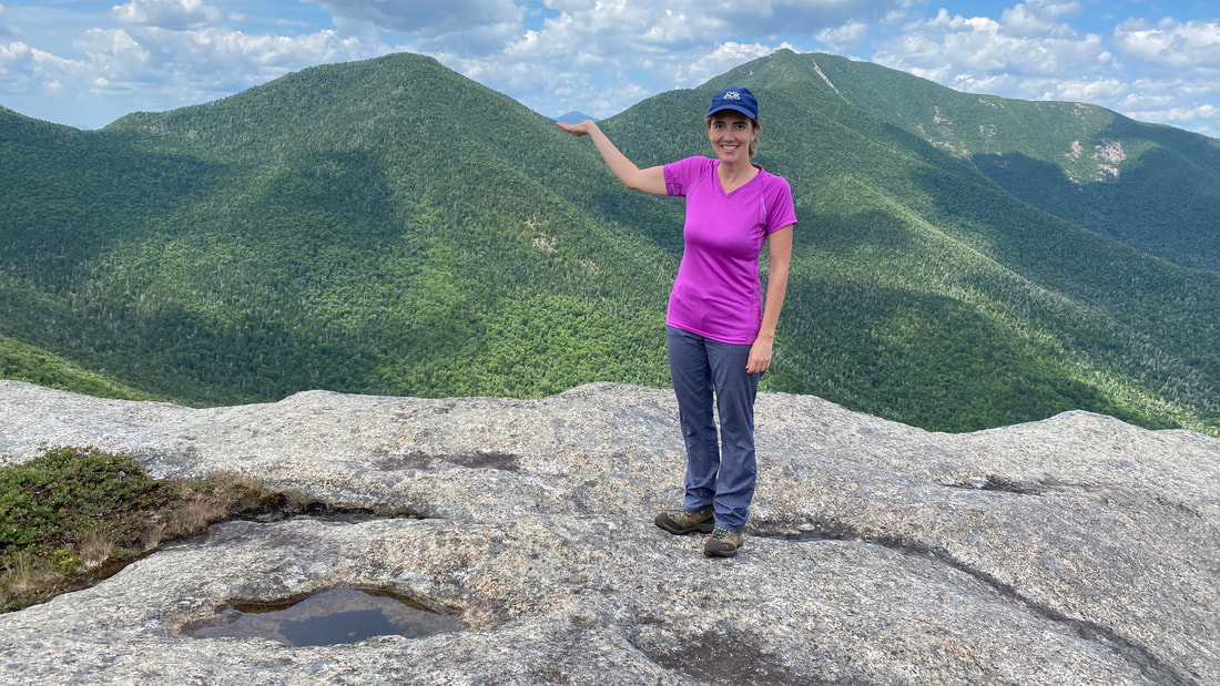
We hiked over to the far ledge on Grace Peak (see photo to the right), where we were rewarded with marvelous views of Giant & Rocky Peak Ridge, including all the peaks down the East Trail to New Russia. Boy, that was one incredible hike at the time, and it sure was amazing to see it all from afar today! |
|
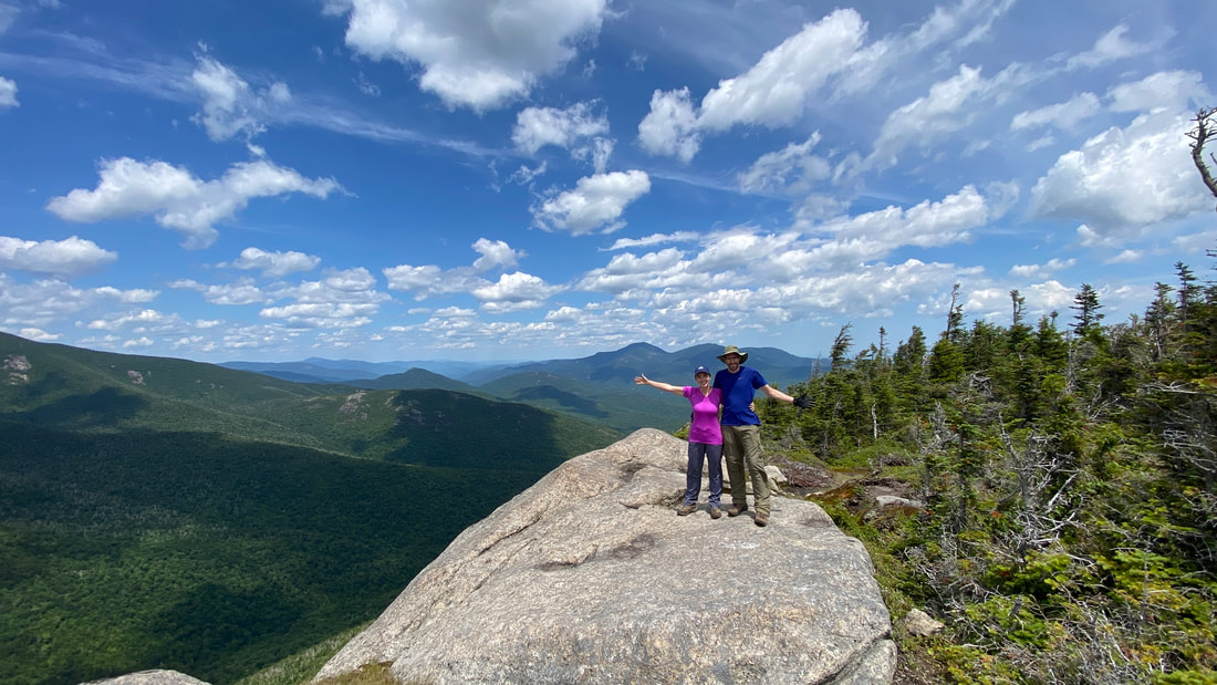
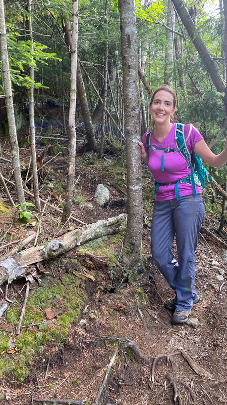
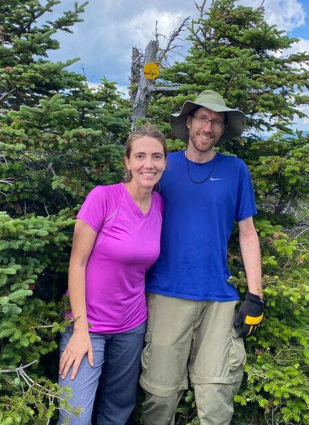
Shannon & Niels at the Grace Peak Lookout
After Grace Peak, we had to head back to South Dix, pick up our dropped pack, and start on towards Hough. The whole Grace Peak side trip was 2.2 miles round trip and took us 2 hours and 20 minutes, mainly because we took lots of time to explore around the extra lookouts and enjoy the views.
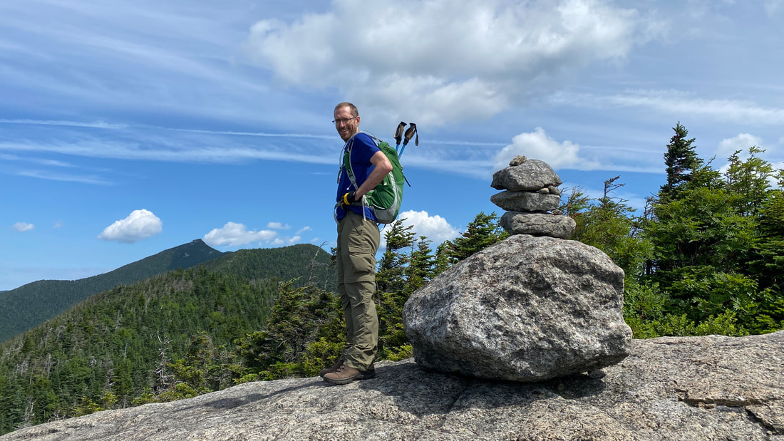
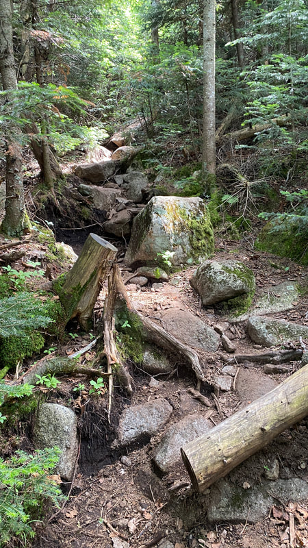
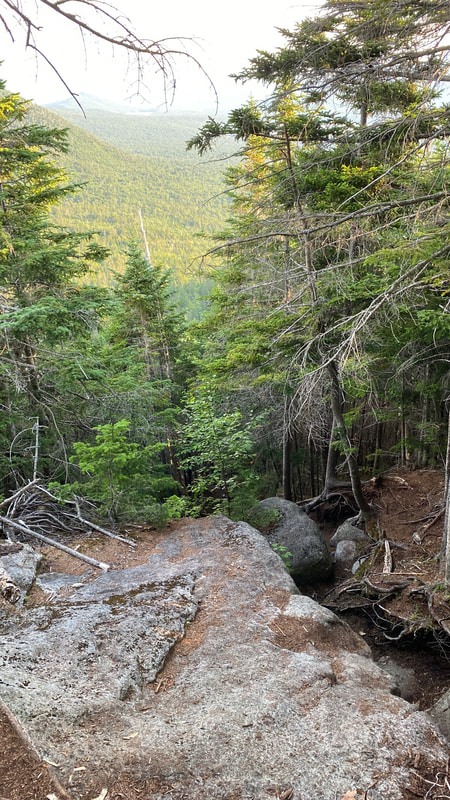
#4 Hough Peak - 0.9 miles
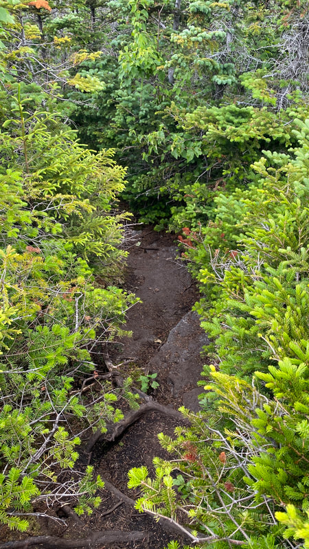
The trip to Hough (pronounced "Huff") is narrow and buggy. There were lots of little gnat flies that were simply just annoying. You hit Pough (pronounced "Puff") first, and then Hough itself. There are a couple of nice lookouts, but basically this part will make you Hough and Pough as you hike.
|
|
|
|
|
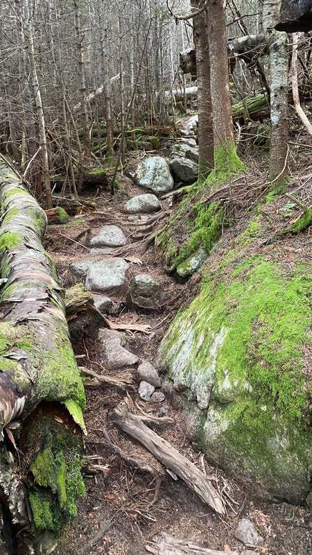
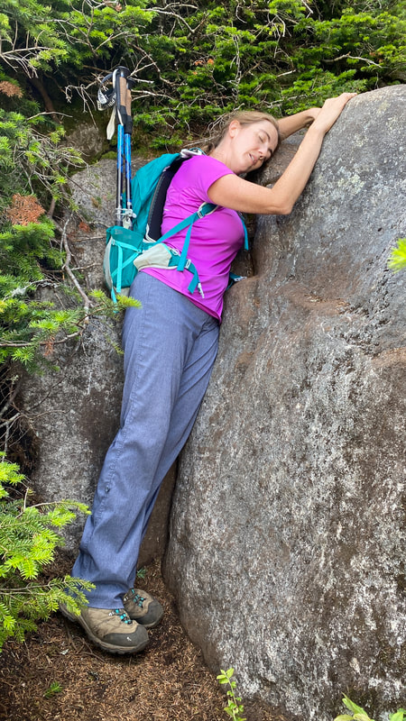
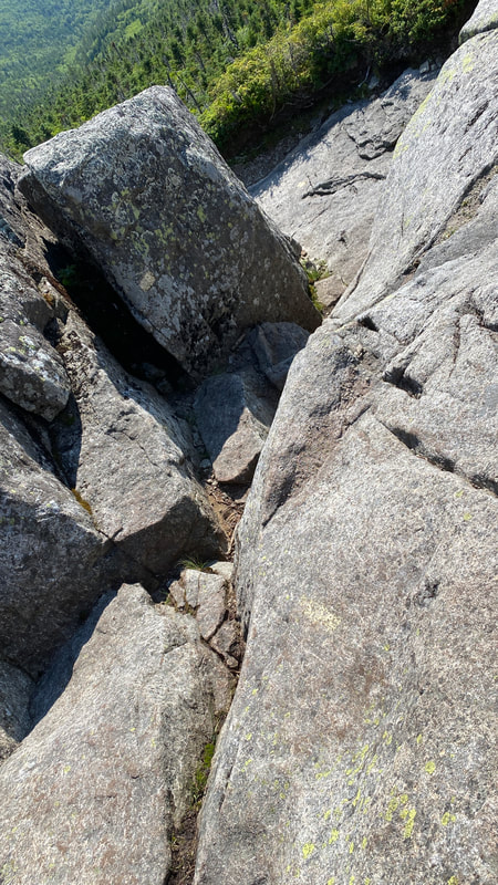
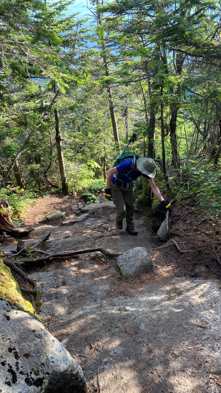
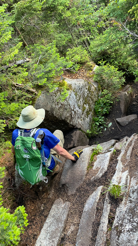
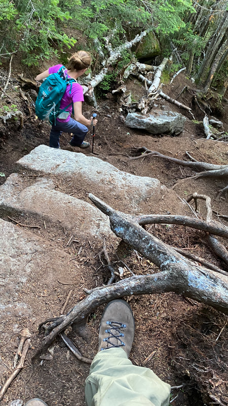
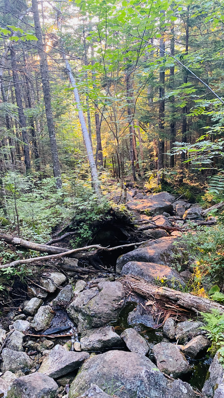
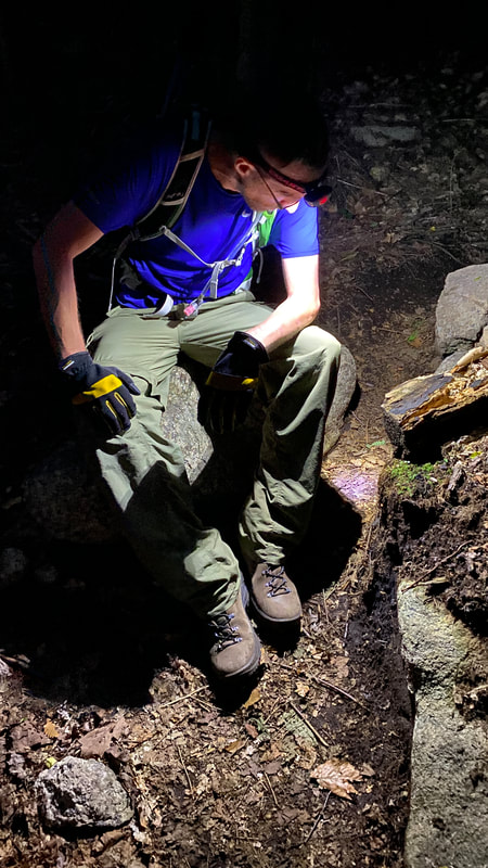
At this point in the hike, it became more steep. There were certain sections that were harder to bypass and needed some analyzing of where the foot and handholds were.
|

|
|
|
|
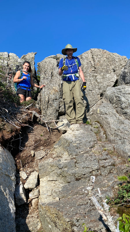
We arrived at the summit at 3:12pm, and there was quite crowd! About four couples were there, laughing and telling stories. It was quite lovely to just sit in the sun and enjoy the jovial atmosphere and conversation. Somehow it turned to all the Adirondack rescues, including stories of the now infamous jeep at Marcy Dam, and a group of hikers that supposedly burned their clothes to get the attention of forest rangers (and subsequently had to be rescued naked!). Halfway through the conversation, one couple casually pulled out a small bottle of champagne and quietly mentioned that this was their 46th peak. They were now officially ADK 46ers! The whole group burst out into applause and cheers, congratulating them wholeheartedly. Oh how I truly love these mountains... and the people that hike them.
|
Summit of Hough, #23 at 4400 ft
|
View of Dix from Hough
|
View from Hough. Views like these were a dime a dozen on this hike!
|
|
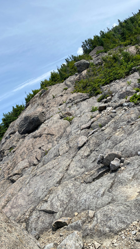
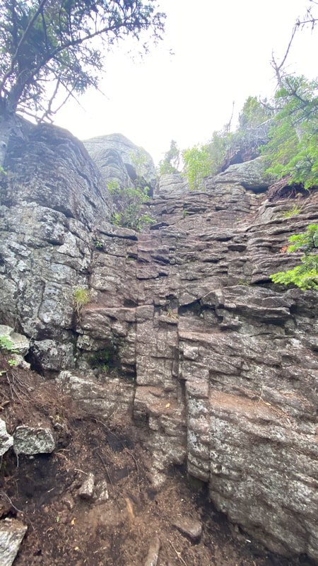
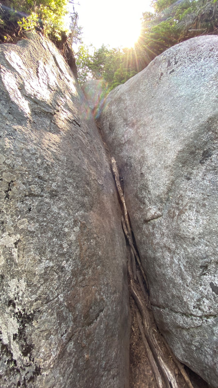
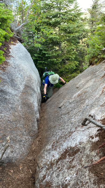
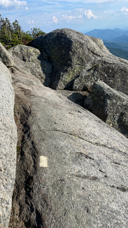
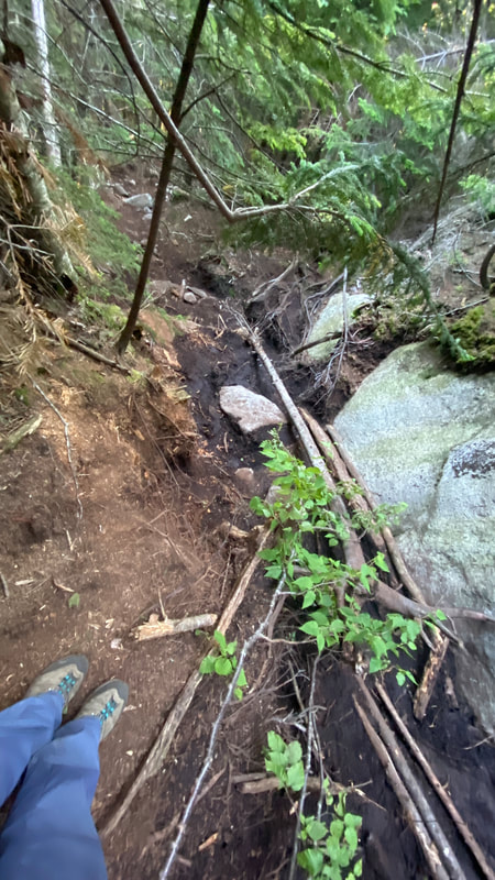
As you get closer and closer to the peak of Dix, I found there were many hard, steep scrambles. It wasn't quite the Saddleback Cliffs, but now after hiking Dix I feel as though I could tackle that first section of the Saddleback Cliffs much easier!
|
|
|
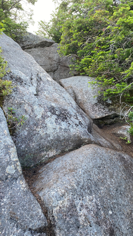
|
Click here for a video of Niels climbing this particularly difficult V rock before the summit. It felt much steeper and more challenging in real life!
|
|
Right before summiting Dix, you get some great views of what you just hiked. Click here to see a video!
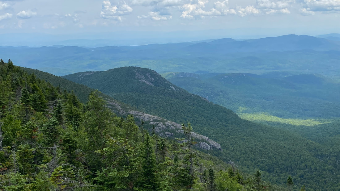
During the whole hike from Macomb, South Dix, Grace and Hough, you can really only see the Beckhorn from where you are hiking. It's a bit hard to believe that Dix is "just behind it" and actually taller. Rest assured, it is. Below is the view of Dix from the Beckhorn.
During the whole hike from Macomb, South Dix, Grace and Hough, you can really only see the Beckhorn from where you are hiking. It's a bit hard to believe that Dix is "just behind it" and actually taller. Rest assured, it is. Below is the view of Dix from the Beckhorn.
Panoramic view of Dix (peak on the right) from the Beckhorn
|
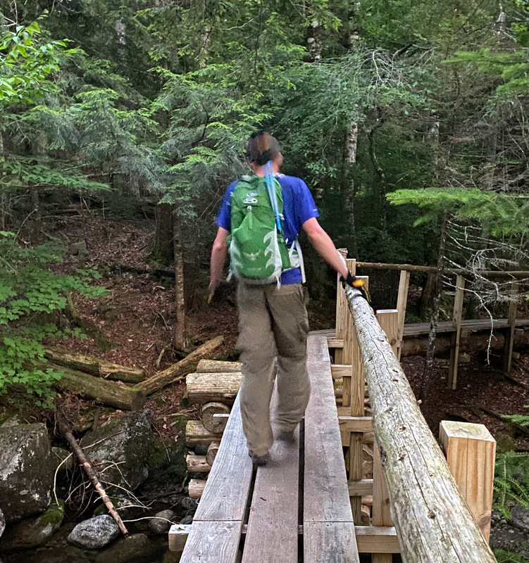
After the Beckhorn, it's a very short hike to Dix along a pretty cool path. The sense of excitement was building... we were almost there! |
|
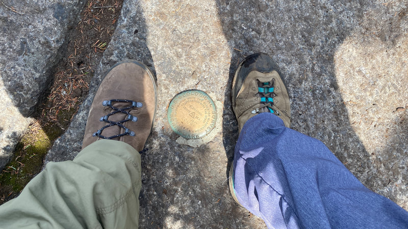
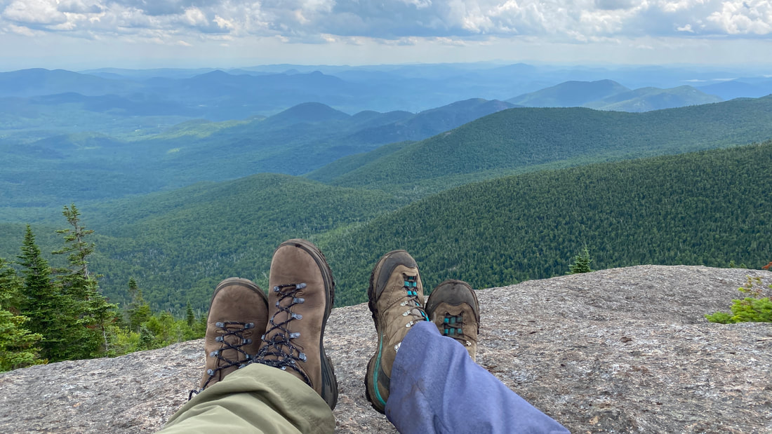
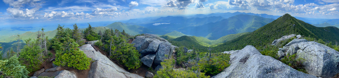
We summited Dix, #6 in elevation at 4857 ft, at exactly 5:00pm. Whoohoo! We made it! We have now officially climbed all five peaks in the Dix Range! It was fun to explore and find the two summit markers on Dix Peak.
Stunning 360 degree views from Dix, the sixth highest peak in the ADKs
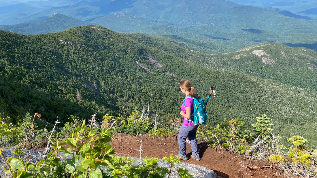
A somewhat exhausted Shannon, boots off!
Hike from Dix Peak to Slide Brook Campsite
There's always a debate on how to descend from Dix. The reality is that although by this point you've officially completed all five peaks, you still need to get back.... which is a significant trek! There are actually three possible routes back:
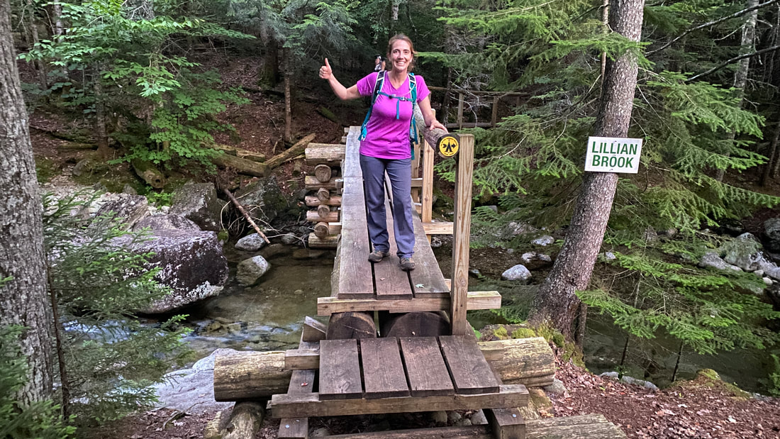
1) Lillian Brook Descent where you backtrack over Hough again and descend via the Lillian Brook Trail (mileage: 4.2 miles back to Slide Brook, PRO: less steep, CON: have to summit Hough a second time)
2) Beckhorn Descent (mileage: 4.3 miles back to Slide Brook, PRO: less mileage than Hunter's Pass route, CON: steep, could be a bit scary at the first few top rocks if you don't love heights...)
3) Hunter's Pass Descent (mileage: 5.0 miles back to Slide Brook, PRO: not sure lol... maybe nicer views?, CON: steep, longer mileage, narrow path with lots of thick branches scratching you)
From what we could research beforehand, both the Beckhorn and Hunter's Pass route are similarly steep, so we chose the Beckhorn Descent to save on mileage. By this point we had hiked 7.3 miles (which felt a lot longer based on the 5000 ft elevation gain!), but still had another 4.3 miles back to Slide Brook. We can't imagine how others hike this range in one day - from the summit of Dix, they'd still have another 8.6 miles back to their car in the overflow lot! Oooof.
To take the Beckhorn Descent, hike back to the Beckhorn and find the faded yellow marks painted on the rocks. Your trail down starts here!
|
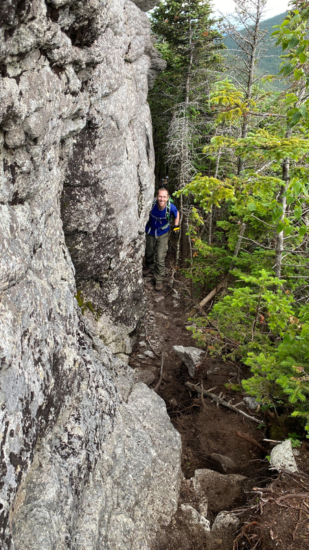
|
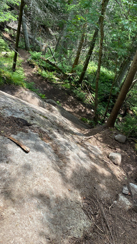
So, after our 40 minute rest stop on Dix, we began our descent. Here, we joined up with two lovely friends, Leslie and Jessica, and decided to hike the top section together. The first part of this route is open and rocky, and reminds me a bit of the Saddleback Cliffs (though not as steep). It's hard to judge difficulty, as the more we hike in the Adirondacks, the more we get used to this kind of thing! So I think they're completely doable, but I wonder what I would have thought if this was one of our earlier hikes...
The first part of the descent!
|
Flat rock here
|
Watch your step!
|
Steep rock here
|
I had heard that the Beckhorn descent is a bit "scary steep" at the top as it's mostly rocks and "feels like you're walking off the edge of a cliff." Yup. See pic below.... that's me walking off the cliff on our route down!
|
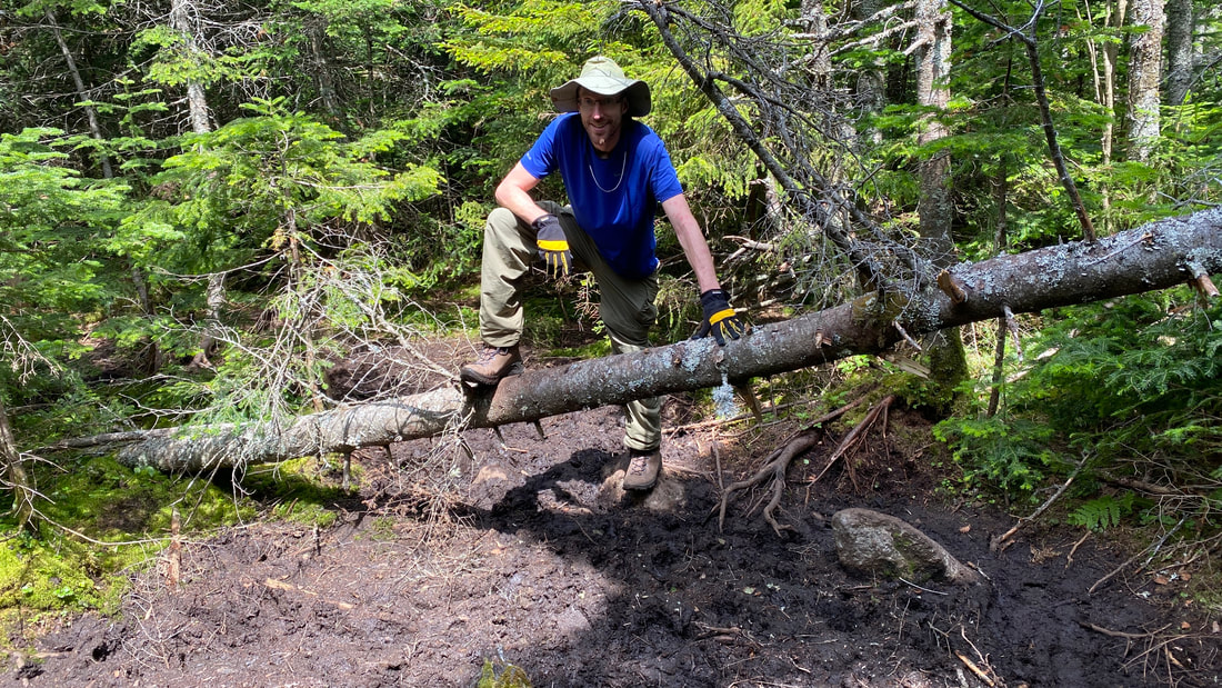
To the right, I've included two pics to show how BIG these rocks actually are. Sometimes photos just don't show the magnitude of where you are hiking. Doesn't he look mini surrounded by those huge rocks? Below, Niels is being a gentleman and helping our hiker friends down some of the steeper parts! |
|
|
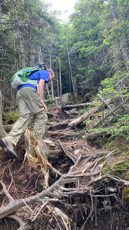
After this, you're done the "open" steep part of the Beckhorn Descent, and you just have a treed steep descent for a few miles. It was long, typical ADK steep, and just tiring after a long day of ups and downs. Niels swears that hiking down backwards on certain rock sections is best. I'll never understand that!
|
|
|
|
|
|
|
|
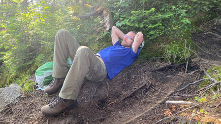
You know you're flat out tired when you just blatantly lie down on the path....
The rest of the hike back to our campsite was bathed in beautiful evening light... and then a complete loss of light!
|
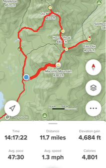
Well, we made it back to our tent at 9:30pm, in the dark. Somehow our 10.5 mile hike became 11.7 miles (potentially due to all the exploring on Grace?) and our hike time was just over 14 hours. All Trails records our "moving time" as 9 hours and our total time as 14 hours.... I know we take a lot of breaks, but FIVE HOURS? That's a testament to the scenery on this hike - it's worth sitting down, kicking off your boots, and enjoying the views! Niels and I slept well that night! Kudos to all you super hikers who manage the whole range in one day - we were sure glad to break up the mileage ourselves. |
Returning in the dark
|
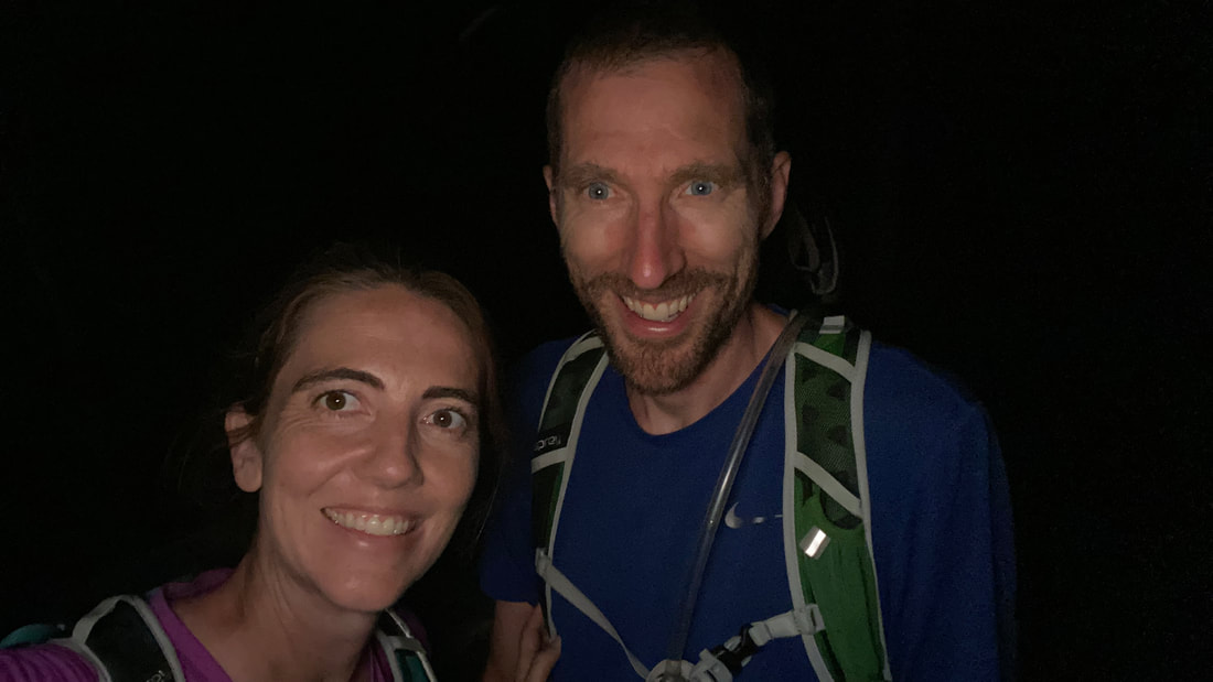
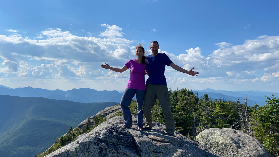
Our "We made it!" selfie
|
Sunday Hike
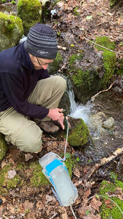
Hike out to the parking lotThe next morning, we enjoyed a hot cup of coffee and a lovely breakfast (which was supposed to be our dinner last night, but oh well). Then we filtered water using our incredible Survivor Filter, and packed up camp.
|
|
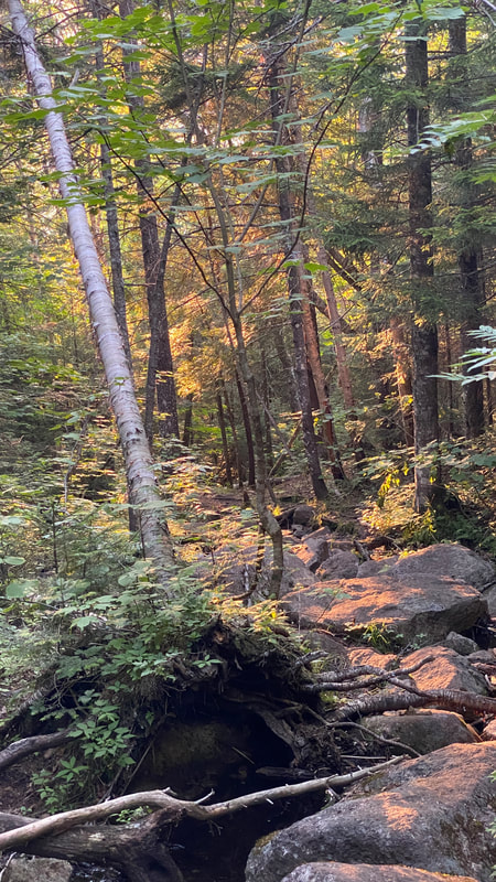
We loved the lovely and flat 2.3 miles out to the car, listening to the birds and finding a cute shrew on the trail. I'm guessing this is either a pygmy or a masked shrew. Both are among the smallest mammals in the world, and guess what? These cute little guys are actually venomous! When a shrew bites its prey, it basically paralyses it. Then it stores the prey, live, until it needs to eat it. Yuck. Just be grateful that shrews are so small. If a human receives one of their bites, it'll hurt for a few days but you'll survive!
Signing out! Thank you Dix Range for an incredible hike!
Total distance: 2.3 miles in, 11.7 miles on our main hiking day, 2.3 miles out = 16.3 miles (26 kilometers)
Total elevation gain: 5,000 ft (for all three days); 4684 ft (on main hiking day)
Total time: 14 hours on main hiking day, 1 hr 15 min for hiking in and 1 hr 15 min for hiking out
Total elevation gain: 5,000 ft (for all three days); 4684 ft (on main hiking day)
Total time: 14 hours on main hiking day, 1 hr 15 min for hiking in and 1 hr 15 min for hiking out
Comment Form is loading comments...
